Plizio Visual Lab
Morne Catherine
Weather…
Water temperature…
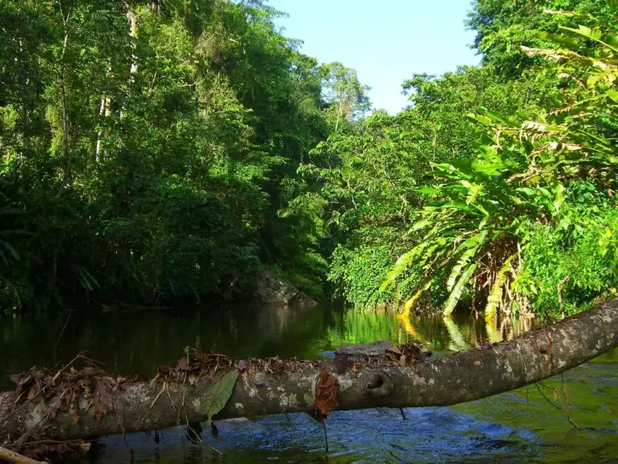
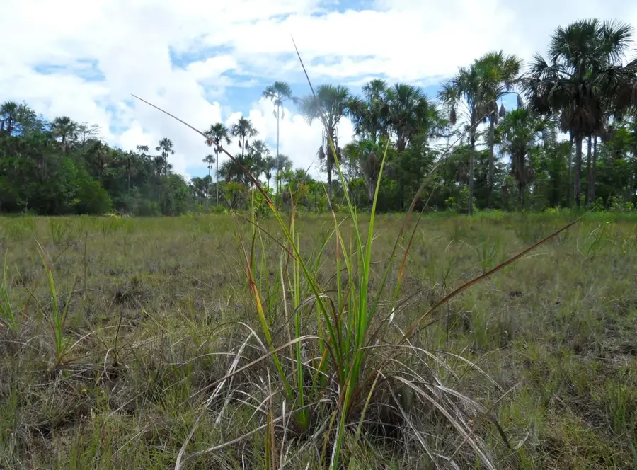
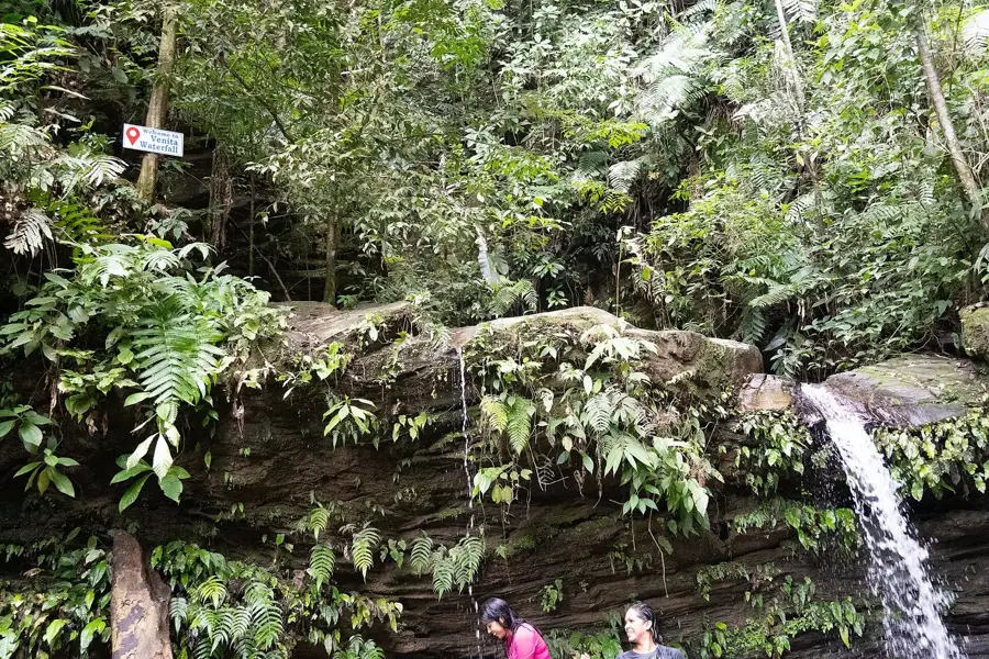
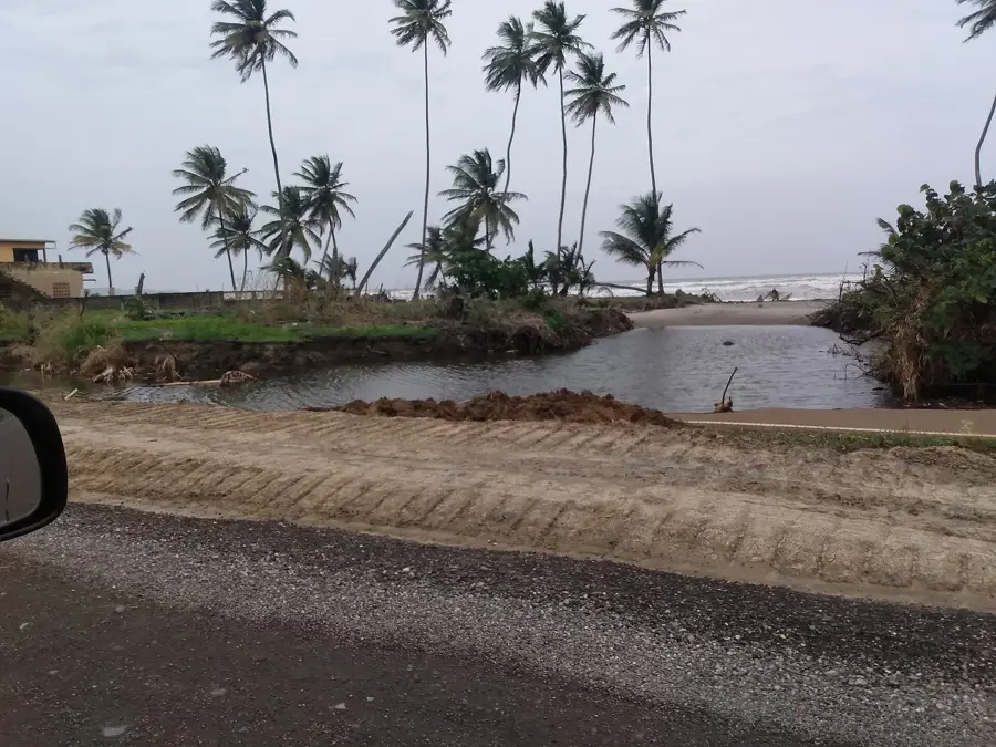
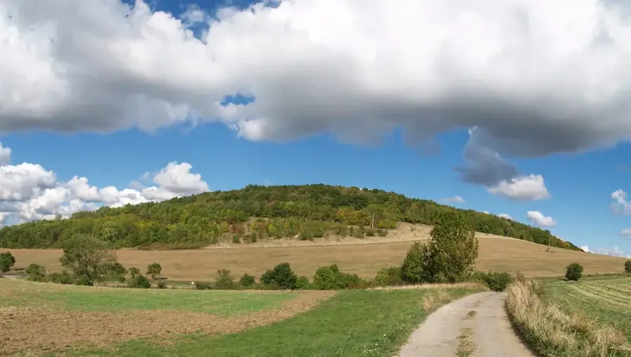
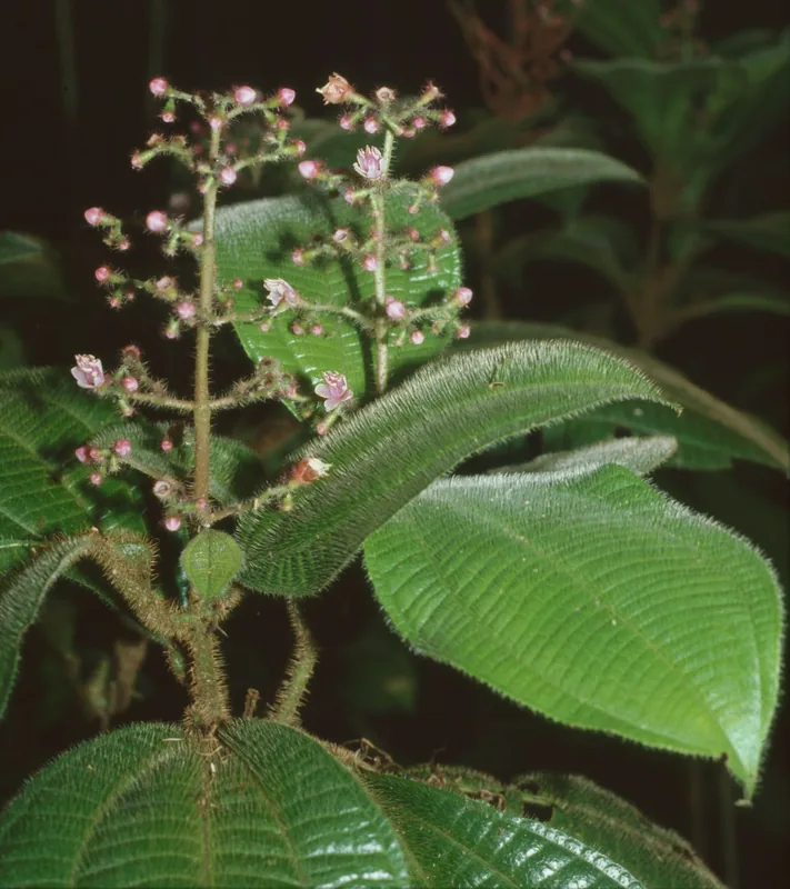
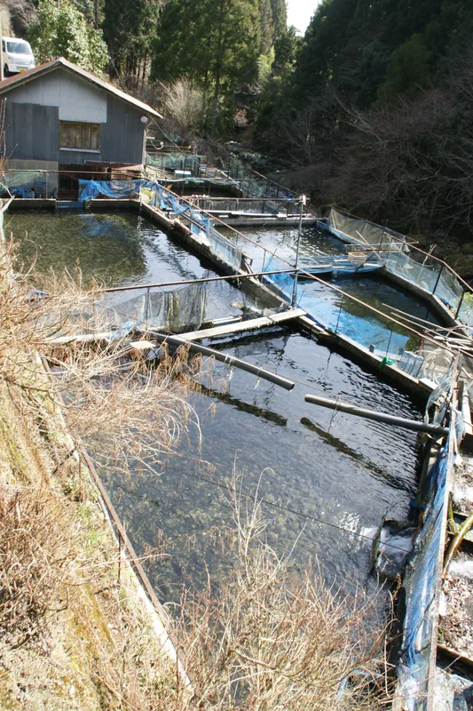
Morne Catherine is a prominent peak on the Chaguaramas Peninsula in northwestern Trinidad, rising to an elevation of approximately 540 meters. During World War II, it served a vital strategic function as part of the United States military base established under the Lend-Lease Agreement. The summit housed advanced surveillance and radar installations to guard the Gulf of Paria, remains of which can still be found today. The mountain is clad in lush tropical rainforest, providing a sanctuary for diverse wildlife including white-fronted capuchin monkeys and exotic bird species. A challenging hiking trail winds through the dense canopy to the top, rewarding visitors with sweeping vistas of the dragon’s mouth and the coastline of Venezuela on clear days. In the mid-20th century, the site was utilized as a tracking station for early satellite communications. Now integrated into the Chaguaramas National Park, it is a key site for eco-tourism and environmental research. Its geological composition is part of the metamorphic schist and limestone typical of the Northern Range.
- Location: Trinidad and Tobago
- Nearby: Matelot (6 km)
Best time to visit & climate
The most pleasant time to visit is Feb–Apr.
| Jan | Feb | Mar | Apr | May | Jun | Jul | Aug | Sep | Oct | Nov | Dec | |
|---|---|---|---|---|---|---|---|---|---|---|---|---|
| Avg °C | 26 | 26 | 27 | 28 | 28 | 27 | 27 | 27 | 27 | 27 | 27 | 26 |
| Rain mm | 100 | 61 | 52 | 56 | 117 | 222 | 202 | 202 | 141 | 176 | 213 | 178 |
📋 Practical info
Geography
Facts
- The peak stands at an official height of 539 meters (1,768 feet).
- It was a key component of the North-West District military defenses in WWII.
- Remnants of the 1950s satellite tracking station remain on the summit.
- The mountain is located within the Chaguaramas Development Authority area.
- The trail is famous for its diversity of bromeliads and orchids.
- It is one of the few places in Trinidad with significant secondary forest growth.
Explore nearby
Notable places around
Route planner — Car & Motorhome
Where do you start? We build the route here, with stops and country notes along the way.
© OpenStreetMap contributors · OpenRouteService
Sights in the town Morne Catherine (1)
Sights nearby
Frequently asked questions
How difficult is the hike up Morne Catherine?
What is the best time of year for a tour?
Is there parking at the trailhead?
Are there toilets or dining options on site?
What is the risk of sudden weather changes?
Morne Catherine: where is it located?
Morne Catherine: when is the best time to visit?
Morne Catherine: why is it worth visiting?
Nearby cities
Nature
More places