Plizio Visual Lab
Tamana Mountain
Weather…
Water temperature…
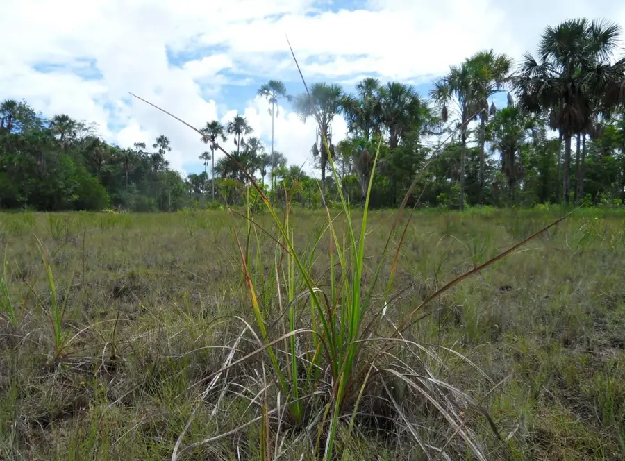
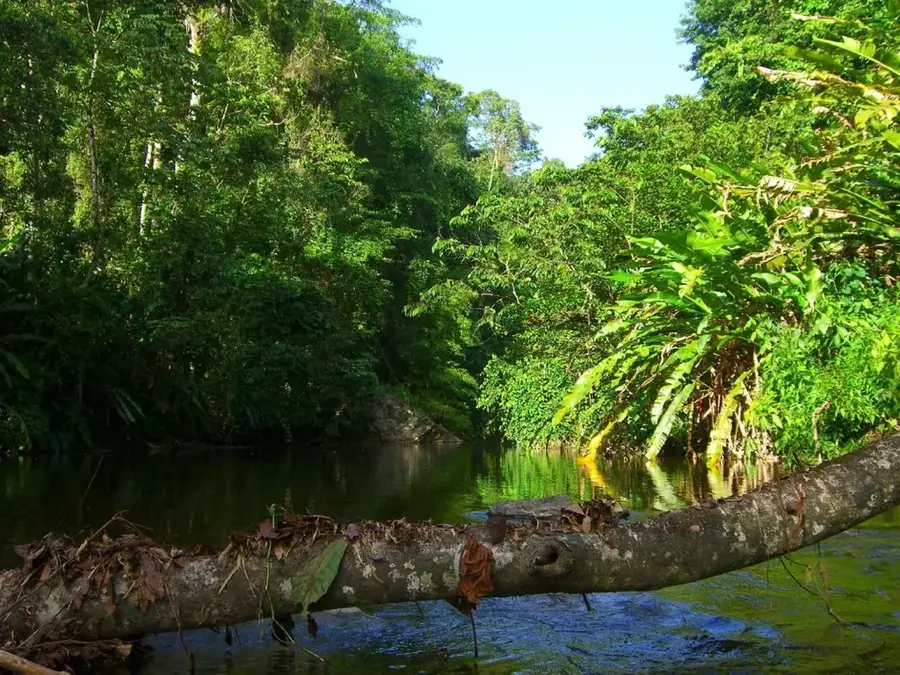
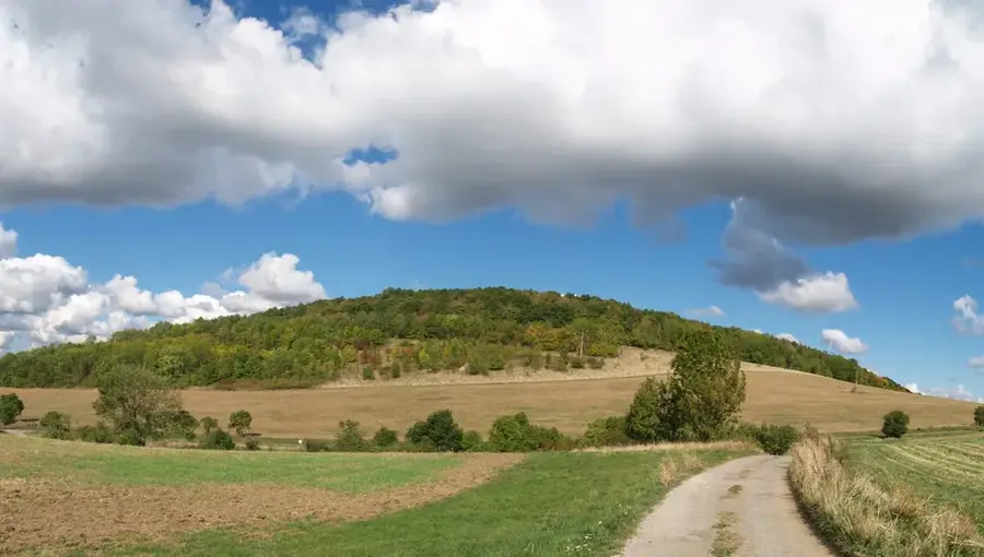
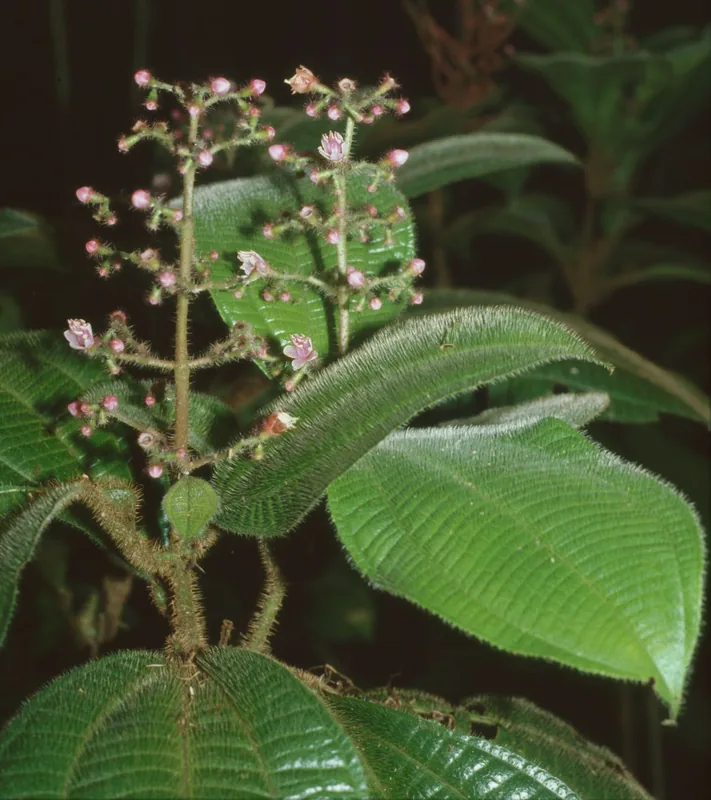
Mount Tamana, rising to approximately 307 meters (1,007 feet), is the highest elevation within Trinidad’s Central Range. The mountain is globally renowned for the Tamana Caves located on its northern flank, which house one of the most significant bat populations in the Caribbean. Estimates suggest that millions of bats across at least 11 species inhabit these limestone caverns. Every evening at dusk, visitors can witness a spectacular natural exodus as the bats emerge in dense clouds to forage. Geologically, the mountain is composed of Miocene-age limestone formed from ancient coral reefs, later pushed upward by tectonic activity; it remains a fertile site for paleontological study. The surrounding slopes are covered in moist tropical secondary forest, home to red howler monkeys and a diverse array of lepidoptera. Historically, the area was significant for cocoa cultivation and contains traces of pre-Columbian indigenous settlements. Today, Mount Tamana is a primary site for ecological research, speleology, and birdwatching, offering panoramic views of the Caroni Plains from its summit.
- Location: Trinidad and Tobago
- Nearby: Biche (7 km)
Best time to visit & climate
The most pleasant time to visit is Feb–Apr.
| Jan | Feb | Mar | Apr | May | Jun | Jul | Aug | Sep | Oct | Nov | Dec | |
|---|---|---|---|---|---|---|---|---|---|---|---|---|
| Avg °C | 26 | 26 | 27 | 28 | 28 | 27 | 27 | 27 | 27 | 27 | 27 | 26 |
| Rain mm | 100 | 61 | 52 | 56 | 117 | 222 | 202 | 202 | 141 | 176 | 213 | 178 |
📋 Practical info
Geography
Facts
- Mount Tamana is the highest peak of the Central Range.
- The bat colony includes species like the Ghost Bat and Fruit Bat.
- Limestone deposits on the mountain contain ancient reef fossils.
- The summit hike is considered an easy to moderate trek.
- The caves are a vital site for studying rabies and bat ecology.
- The area was used by the Amerindians as a lookout point.
Explore nearby
Notable places around
Route planner — Car & Motorhome
Where do you start? We build the route here, with stops and country notes along the way.
© OpenStreetMap contributors · OpenRouteService
Sights nearby
Frequently asked questions
What is special about Tamana Mountain?
Can you enter the caves without a guide?
What level of physical fitness is required?
Should I bring flashlights?
What is the weather like on the summit?
Tamana Mountain: where is it located?
Tamana Mountain: when is the best time to visit?
Tamana Mountain: why is it worth visiting?
Nearby cities

Nature
More places