Plizio Visual Lab
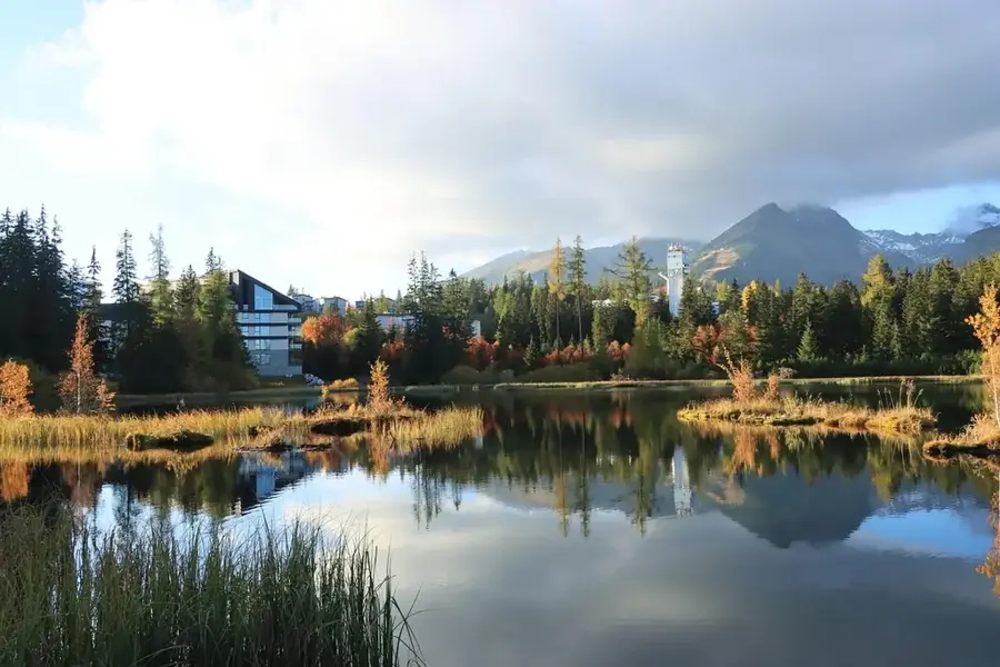
Zemplén Mountains
Weather…
Water temperature…
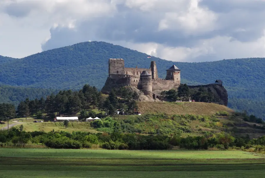
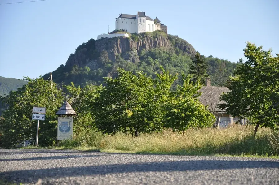
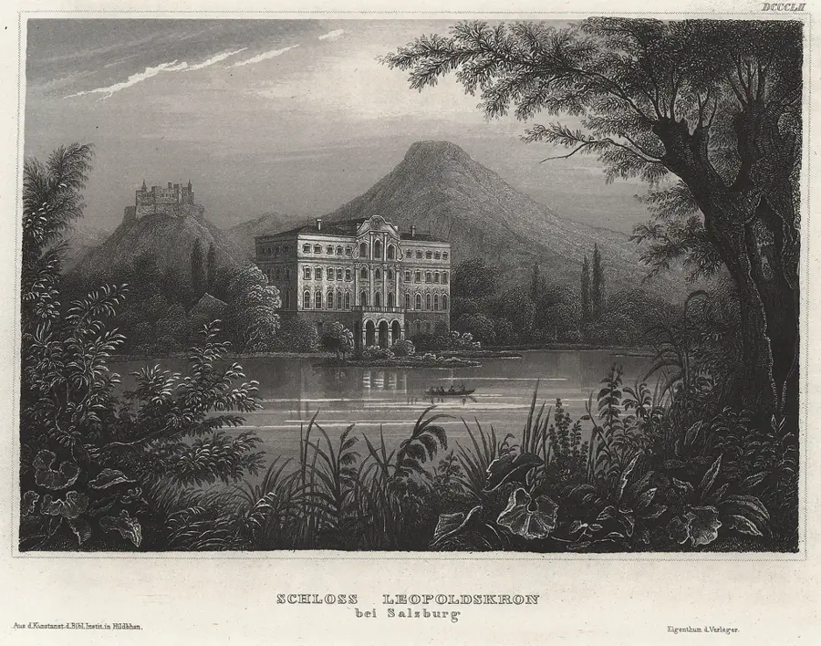
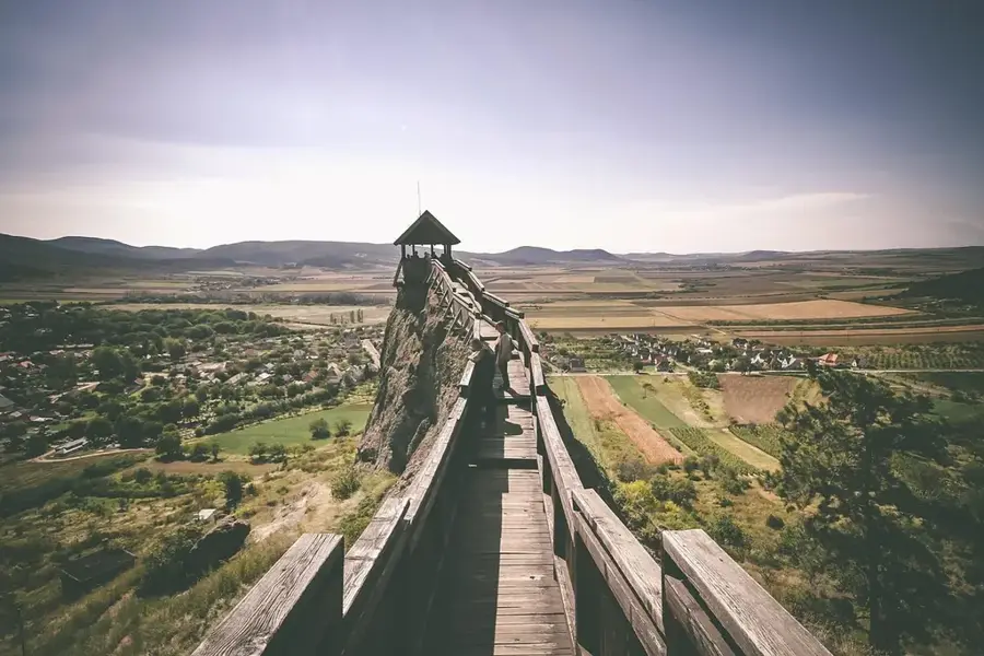
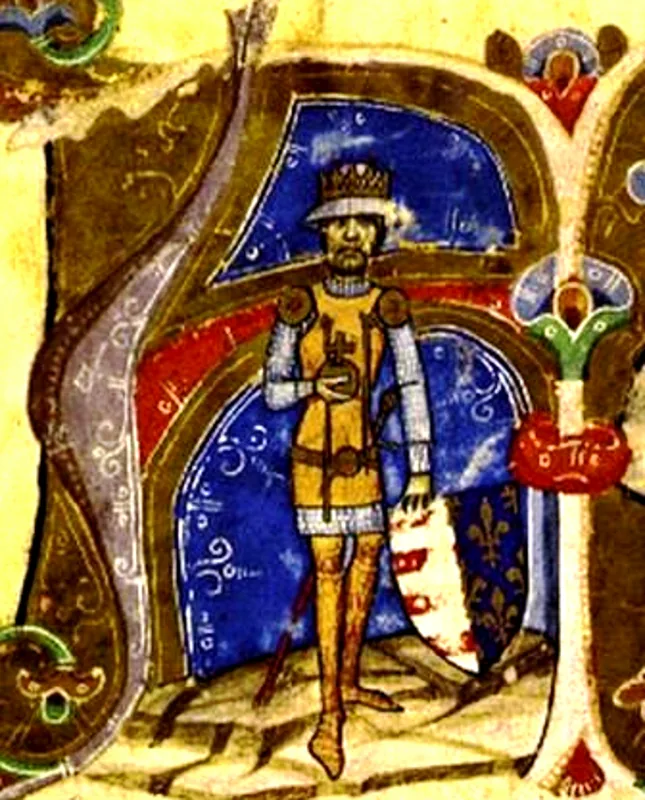
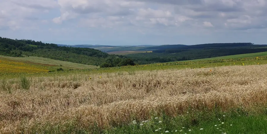
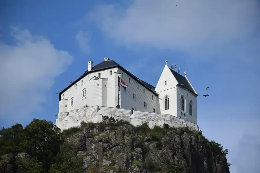
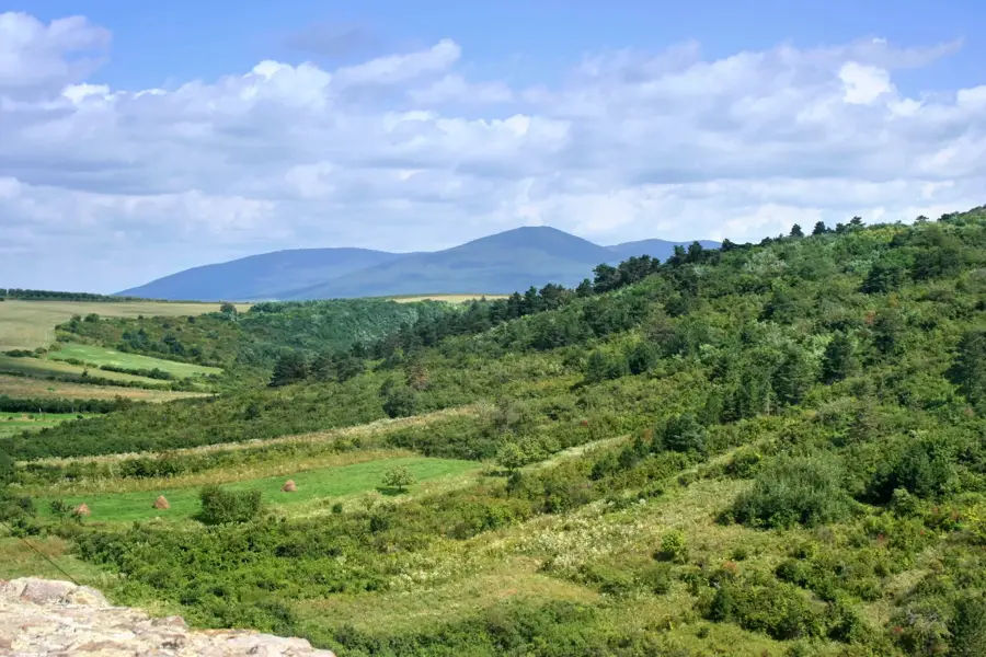
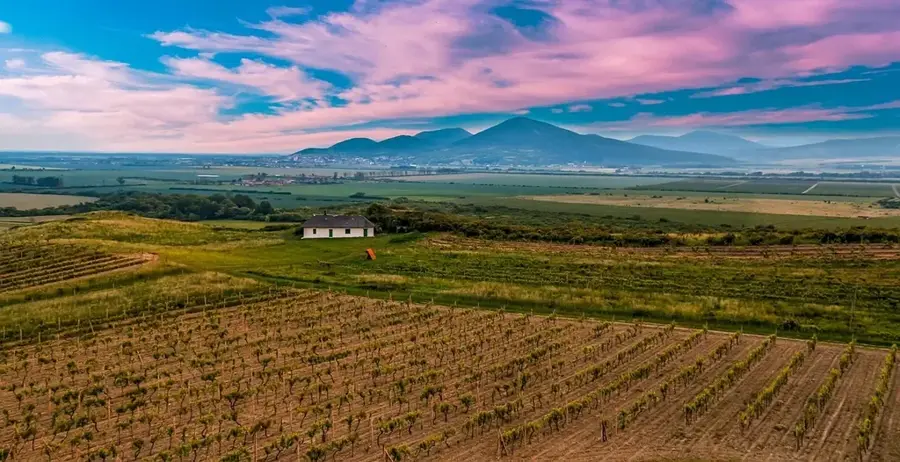
The Zemplén Mountains, also known as the Tokaj Mountains, are a volcanic mountain range located in northeastern Hungary. Formed approximately 10 to 15 million years ago during the Miocene epoch, the range is characterized by dense deciduous forests and deep river valleys. The highest peak is Nagy-Milic, reaching an elevation of 894 meters directly on the Slovakian border. Historically, the medieval castles built in the region, such as Füzér and Boldogkő, played a vital role in the defensive network of the Kingdom of Hungary. The southern foothills of the mountains comprise the world-famous Tokaj-Hegyalja wine region, which is a UNESCO World Heritage site. Today, the mountains are a key segment of the National Blue Trail and serve as a sanctuary for rare species like the Eastern imperial eagle and the Eurasian lynx.
- Location: Borsod-Abaúj-Zemplén, Hungary
- Top sights: Sólyom-bérc · Pálos kolostor romja · Kis-Zabarla
- Nearby: Regéc (4 km)
Best time to visit & climate
The most pleasant time to visit is Jun–Aug.
| Jan | Feb | Mar | Apr | May | Jun | Jul | Aug | Sep | Oct | Nov | Dec | |
|---|---|---|---|---|---|---|---|---|---|---|---|---|
| Avg °C | -4 | -2 | 4 | 10 | 15 | 19 | 21 | 21 | 16 | 9 | 4 | -2 |
| Rain mm | 38 | 38 | 38 | 43 | 76 | 83 | 88 | 63 | 55 | 55 | 45 | 44 |
📋 Practical info
Geography
Facts
- Nagy-Milic is the highest peak in the range at 894 meters above sea level.
- The volcanic rock formations date back to the Miocene epoch.
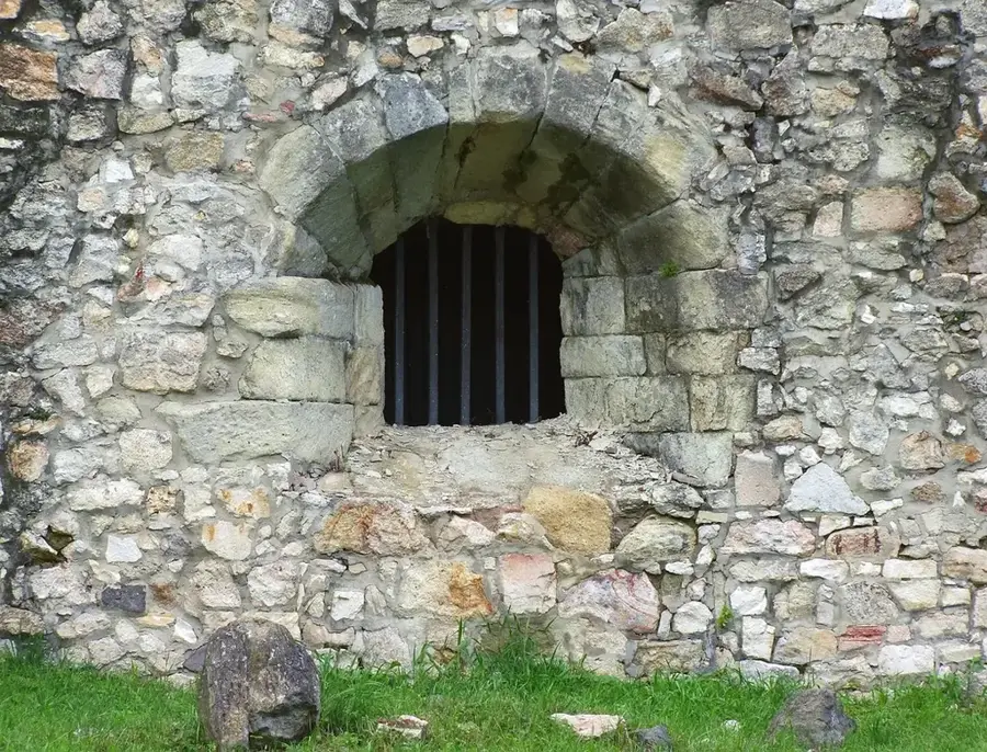
- Füzér Castle was first mentioned in official documents in 1264.
- The Tokaj-Hegyalja wine region is a UNESCO World Heritage site.
- The mountains serve as a crucial breeding ground for the Eastern imperial eagle.
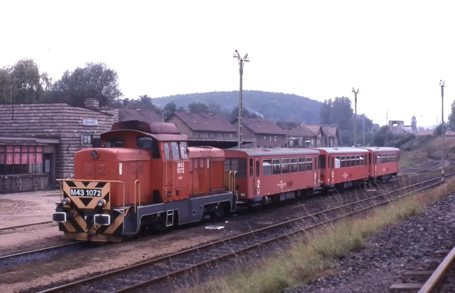
- The narrow-gauge forest railway of Pálháza opened in 1888.
Explore nearby
Notable places around
Route planner — Car & Motorhome
Where do you start? We build the route here, with stops and country notes along the way.
© OpenStreetMap contributors · OpenRouteService
Sights in the town Zemplén Mountains (6)
Kerekeskút
Decorative well by the roadside, water not drinkable. A small attraction along the trail.
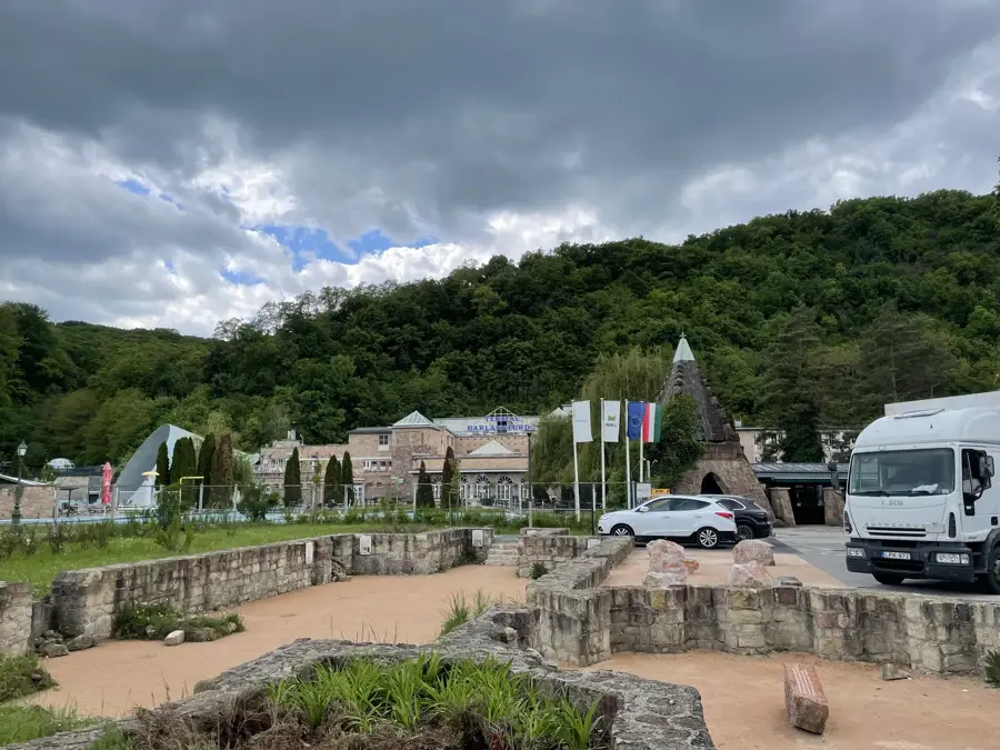
Rákóczi Üvegcsűr🏛 museum
Museum in a former glass barn, showcasing the region's glassmaking heritage.
Sights nearby
Frequently asked questions
What makes the Zemplén Mountains special?
Which castles can be visited in Zemplén?
Are there adventure activities for families?
What is the Megyer-hegy Tarn (Sea Eye)?
When is the best time to visit?
Zemplén Mountains: where is it located?
Zemplén Mountains: what is there to see?
Zemplén Mountains: when is the best time to visit?
Zemplén Mountains: why is it worth visiting?

Nearby cities

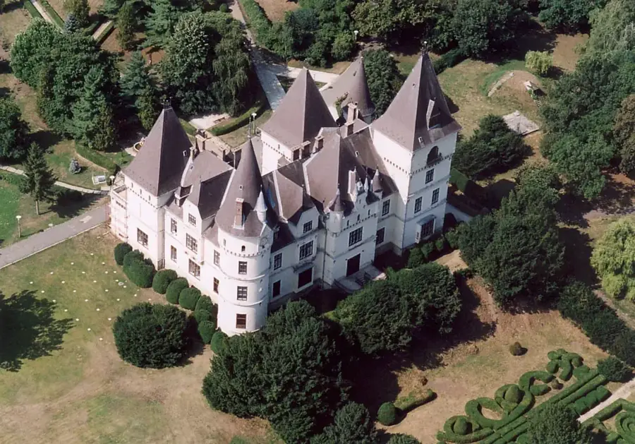
History & landmarks