Plizio Visual Lab
Caratasca Lagoon

Weather…
Water temperature…
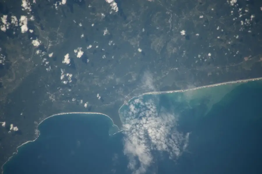
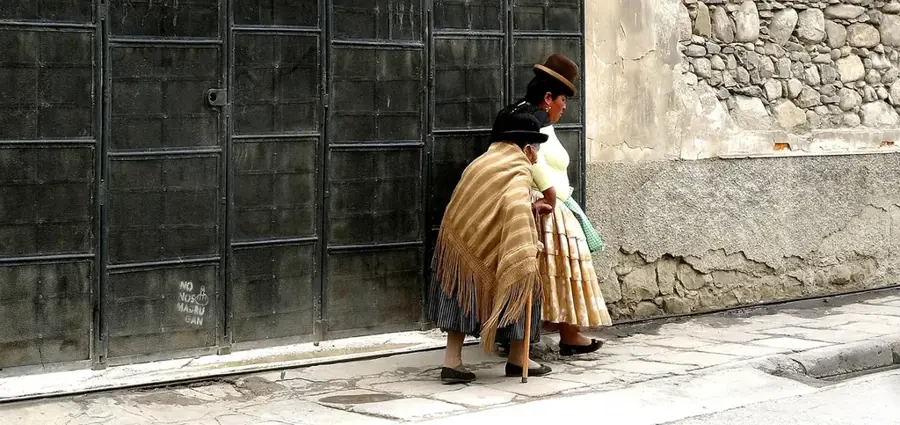
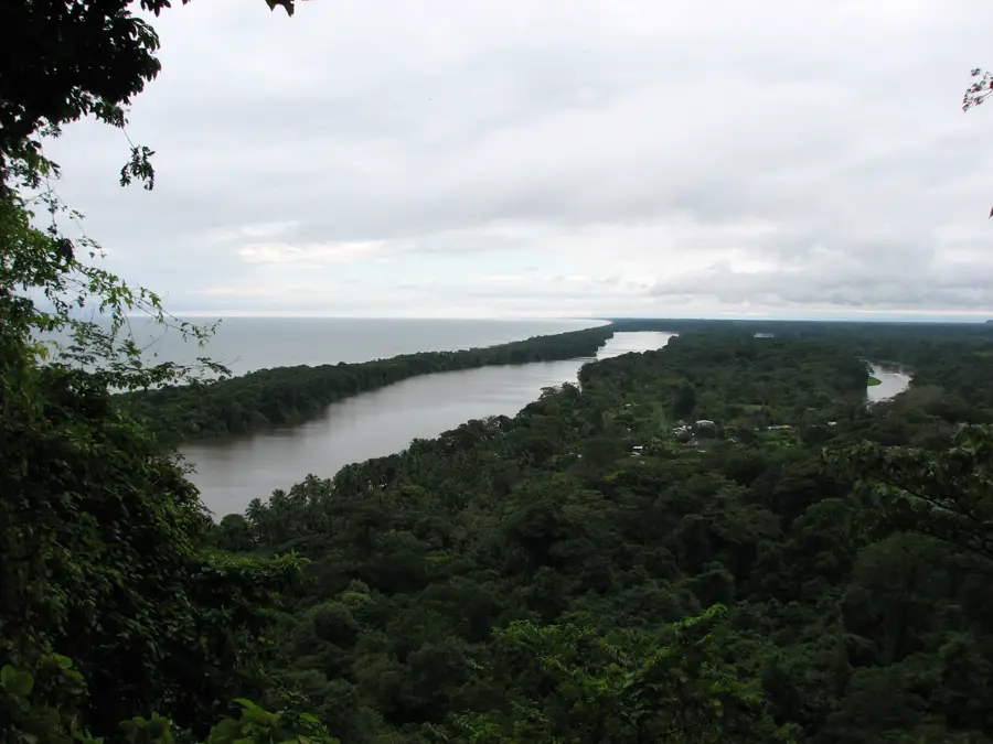
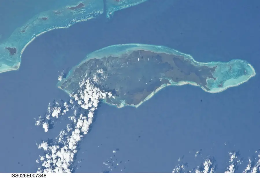
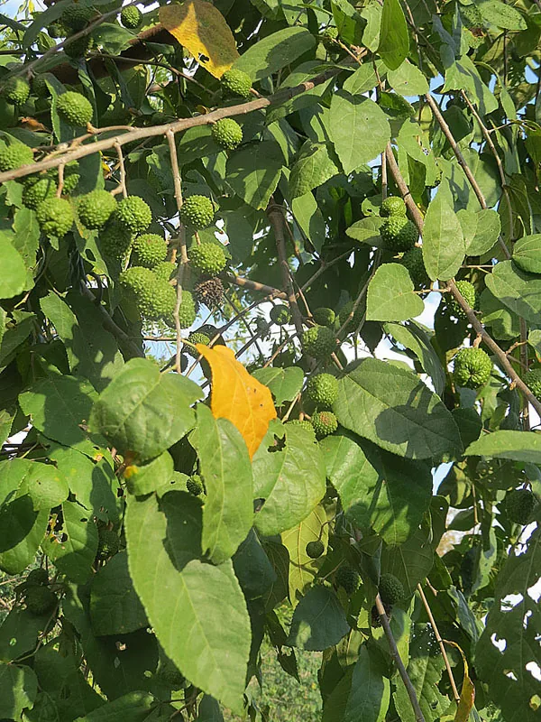
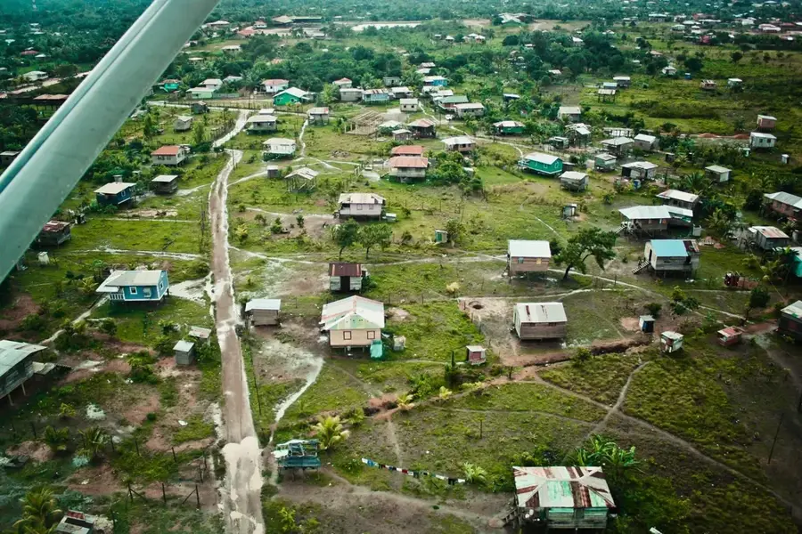
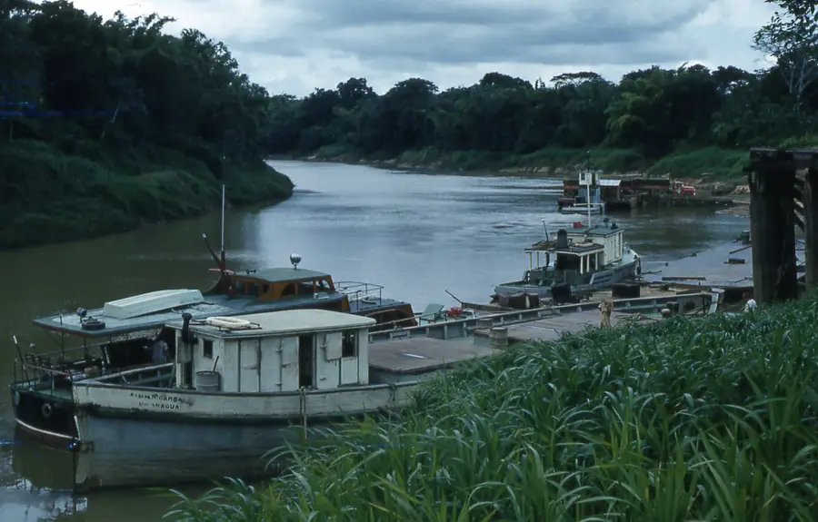
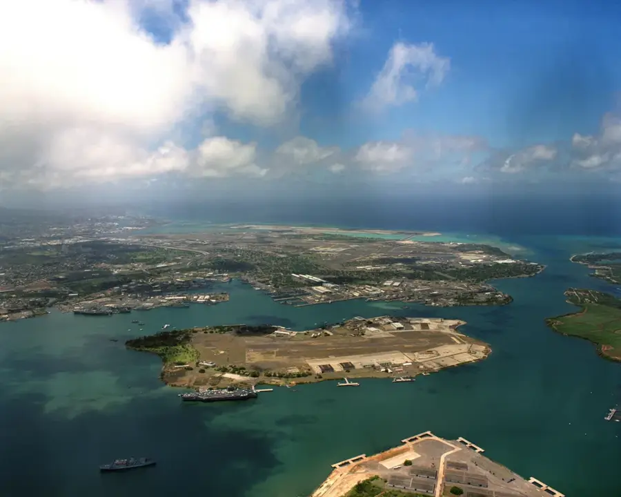
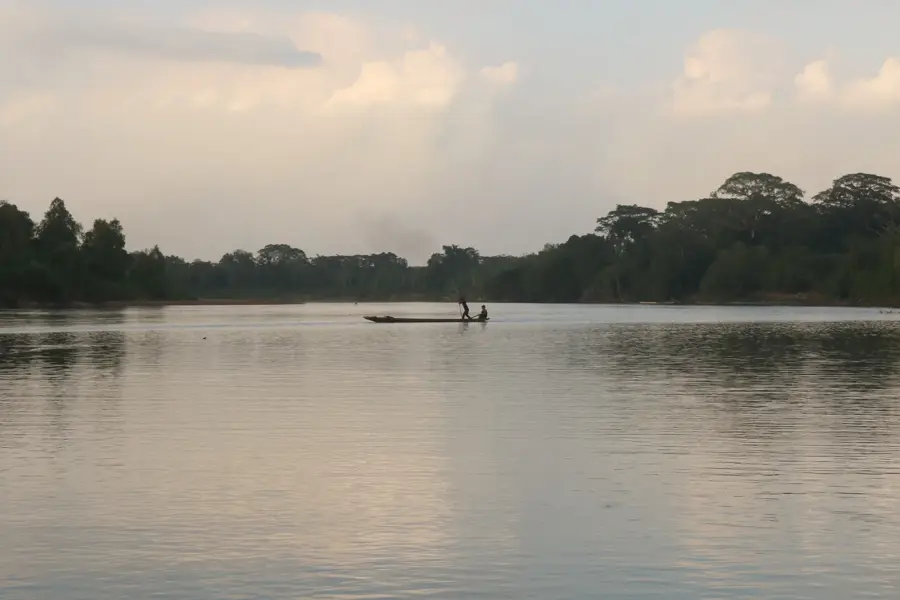
The Caratasca Lagoon is the largest lagoon in Honduras and the dominant geographical feature of the La Mosquitia region in the country's east. Covering an area of approximately 1,110 square kilometers, this brackish water system is of immense ecological importance. It is connected to the Caribbean Sea via a narrow inlet and is fed by numerous rivers. The lagoon is surrounded by extensive mangrove forests that act as nurseries for fish and shrimp, while providing a sanctuary for endangered species like manatees and crocodiles. For the indigenous Miskito communities, the lagoon is the primary source of food and the main transportation artery. The region's remoteness has helped preserve its wilderness.
Best time to visit & climate
The most pleasant time to visit is Feb–Apr.
| Jan | Feb | Mar | Apr | May | Jun | Jul | Aug | Sep | Oct | Nov | Dec | |
|---|---|---|---|---|---|---|---|---|---|---|---|---|
| Avg °C | 26 | 26 | 27 | 27 | 28 | 28 | 28 | 29 | 29 | 28 | 28 | 27 |
| Rain mm | 166 | 106 | 67 | 82 | 192 | 348 | 364 | 317 | 273 | 538 | 431 | 248 |
📋 Practical info
Geography
Facts
- The lagoon covers an area of approximately 1,110 km².
- It is about 60 km long and up to 12 km wide.
- The primary freshwater source is the Mocorón River.
- The water is brackish, a mix of fresh and salt water.
- It is located within the Gracias a Dios department.
- Home to a significant population of West Indian manatees.
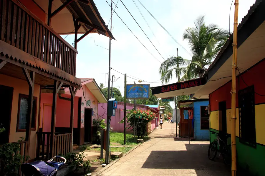
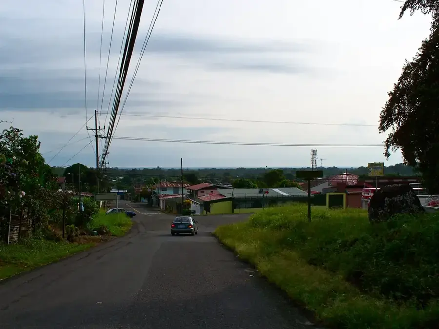
Explore nearby
Notable places around
Route planner — Car & Motorhome
Where do you start? We build the route here, with stops and country notes along the way.
© OpenStreetMap contributors · OpenRouteService
Sights nearby
Frequently asked questions
When is the best time to visit the Caratasca Lagoon?
How can you reach the lagoon?
Are there tourist accommodations available?
What animals can be seen here?
Is a guide necessary?
Caratasca Lagoon: where is it located?
Caratasca Lagoon: when is the best time to visit?
Caratasca Lagoon: why is it worth visiting?

Nearby cities


History & landmarks

Nature
More places