Plizio Visual Lab
Sipacate-Naranjo Mangroves

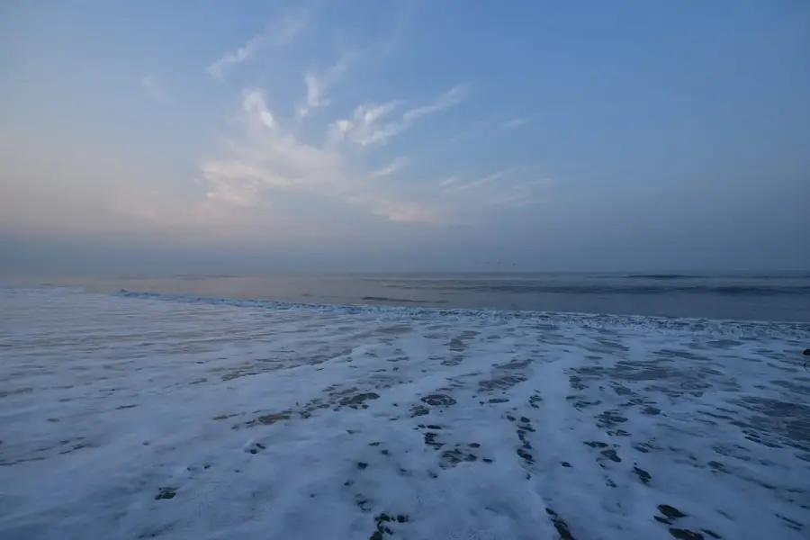
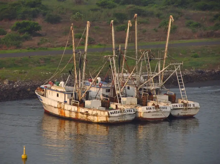
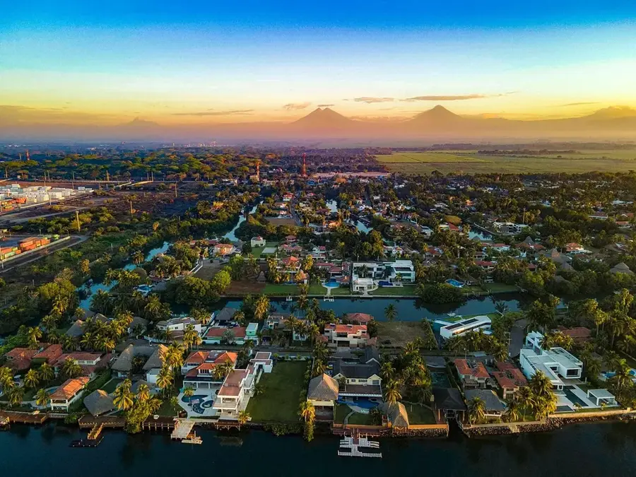
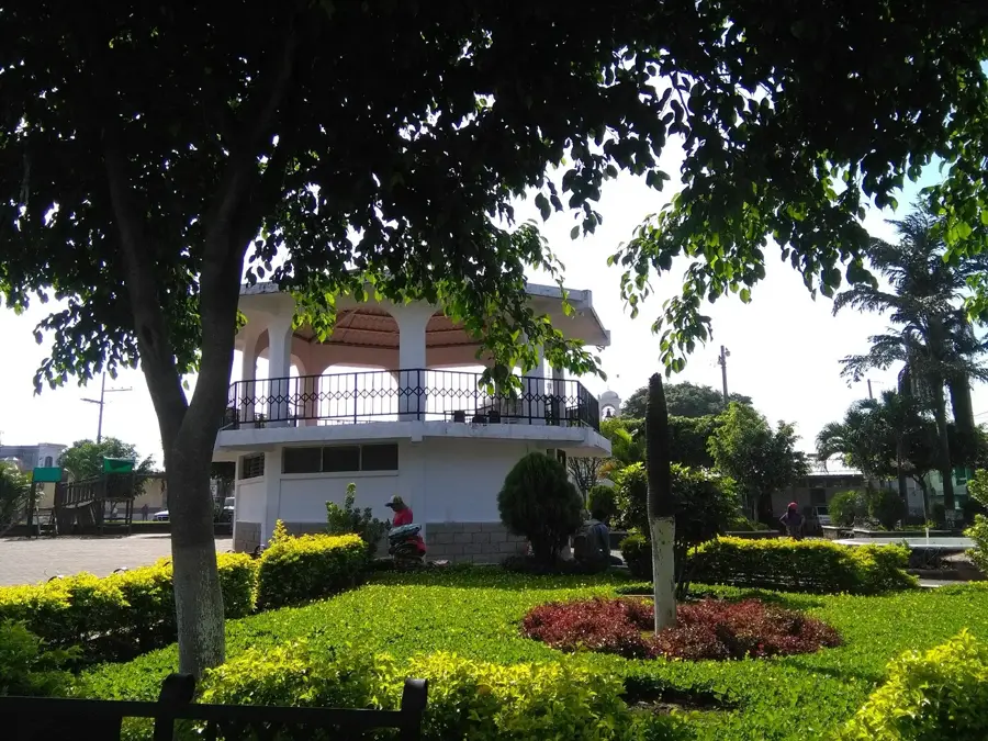
Sipacate-Naranjo National Park is a critical coastal protected area located on the Pacific coast of Guatemala within the Escuintla department. Established in 1969, the park encompasses an extensive system of mangroves, lagoons, and canals that are vital for the region's ecological stability. These mangroves serve as a natural nursery for numerous fish and crustacean species and provide a crucial habitat for both migratory and resident birds, such as herons and cormorants. The park is particularly noted for its role in sea turtle conservation, as its beaches are significant nesting sites for species like the Olive Ridley. Visitors can navigate the park's intricate waterways by boat, offering an up-close look at this fascinating and complex ecosystem. Beyond its biological diversity, the park supports the local economy through sustainable fishing and ecotourism, benefiting the surrounding communities of Sipacate. It stands as one of the best-preserved examples of mangrove wetlands in the entire Guatemalan Pacific region.
- Location: Guatemala
- Top sights: El Paredón, Guatemala · Sipacate-Naranjo National Park · Acomé River
- Nearby: El Paredón (5 km)
Best time to visit & climate
The most pleasant time to visit is Jan, Feb, Dec.
| Jan | Feb | Mar | Apr | May | Jun | Jul | Aug | Sep | Oct | Nov | Dec | |
|---|---|---|---|---|---|---|---|---|---|---|---|---|
| Avg °C | 26 | 27 | 28 | 29 | 28 | 27 | 28 | 28 | 27 | 27 | 27 | 26 |
| Rain mm | 4 | 6 | 15 | 61 | 252 | 326 | 251 | 305 | 339 | 297 | 65 | 8 |
📋 Practical info
Geography
Facts
- Sipacate-Naranjo National Park was established in 1969.
- The protected area covers approximately 2,000 hectares of coastal land.
- The park contains four distinct species of mangrove trees.
- It is a key nesting site for the Olive Ridley sea turtle.
- The Naranjo Lagoon is a major feature of the park's internal water system.
- More than 90 species of birds have been identified within the park's boundaries.
Explore nearby
Notable places around
Route planner — Car & Motorhome
Where do you start? We build the route here, with stops and country notes along the way.
© OpenStreetMap contributors · OpenRouteService
Sights in the town Sipacate-Naranjo Mangroves (3)
Sights nearby
Frequently asked questions
How do you explore the mangroves?
What can you observe there?
Is mosquito repellent necessary?
Are there beaches nearby?
When is the best time to visit?
Sipacate-Naranjo Mangroves: where is it located?
Sipacate-Naranjo Mangroves: what is there to see?
Sipacate-Naranjo Mangroves: when is the best time to visit?
Sipacate-Naranjo Mangroves: why is it worth visiting?

Nearby cities

History & landmarks
More places