Plizio Visual Lab
Sipacate-Naranjo National Park
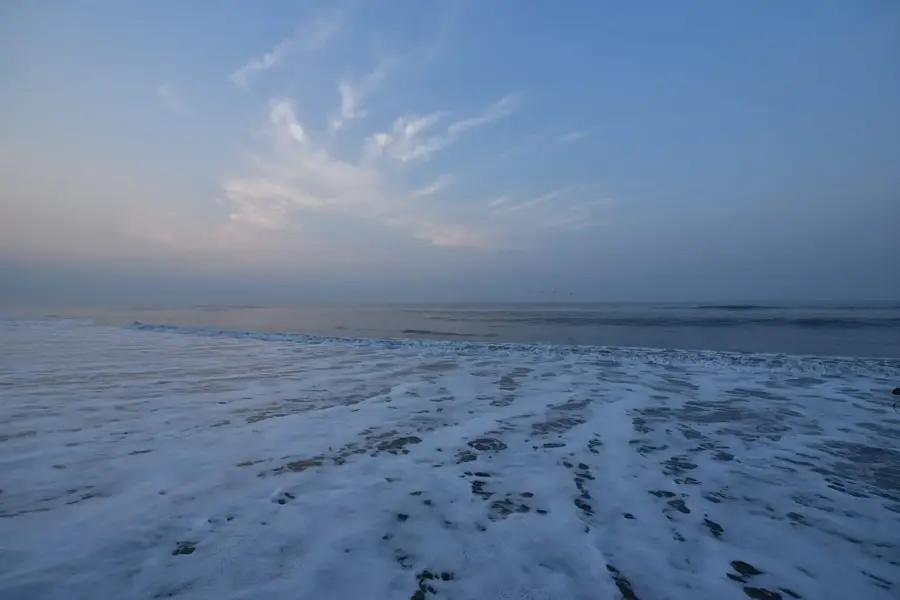
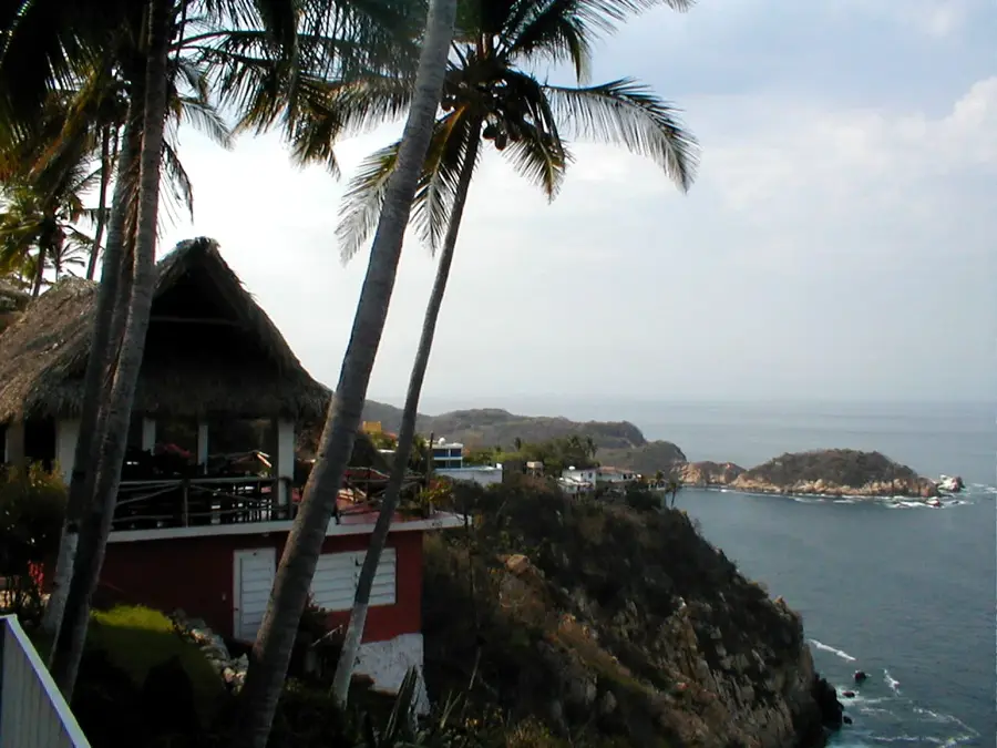
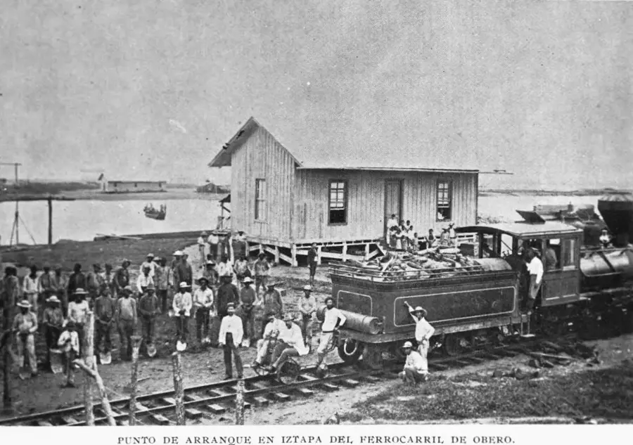
Sipacate-Naranjo National Park is located along the Pacific coast of Guatemala in the Escuintla department, representing one of the country's most vital coastal ecosystems. Established in 1969, the park covers approximately 2,000 hectares, comprising mangrove forests, lagoons, and black volcanic sand beaches. The park plays a critical role as a nesting site for several species of sea turtles, including the Olive Ridley and Leatherback turtles. Its extensive mangrove swamps provide habitat for over 90 species of migratory and resident birds, making it a prime destination for birdwatching. Geographically, the area is bounded by the Chiquimulilla Canal, which serves as an important waterway for local communities. In addition to conservation, the park is well-known for its surfing spots, particularly near the village of Sipacate. Local community efforts in sustainable tourism and the protection of turtle eggs in specialized hatcheries are benchmark initiatives for environmental preservation in the region.
- Location: Guatemala
- Top sights: Acomé River · El Paredón, Guatemala
- Nearby: El Paredón (5 km)
Best time to visit & climate
The most pleasant time to visit is Jan, Feb, Dec.
| Jan | Feb | Mar | Apr | May | Jun | Jul | Aug | Sep | Oct | Nov | Dec | |
|---|---|---|---|---|---|---|---|---|---|---|---|---|
| Avg °C | 26 | 27 | 28 | 29 | 28 | 27 | 28 | 28 | 27 | 27 | 27 | 26 |
| Rain mm | 4 | 6 | 15 | 61 | 252 | 326 | 251 | 305 | 339 | 297 | 65 | 8 |
📋 Practical info
Geography
Facts
- The national park was officially established on September 4, 1969, by government decree.
- It encompasses a coastline of approximately 20 kilometers along the Pacific Ocean.
- More than 90 different bird species have been documented within the park's boundaries.
- The park contains three distinct types of mangroves: Red, Black, and White.
- Sipacate is recognized as one of the premier locations for surfing in Guatemala.
- The nesting season for Leatherback turtles primarily runs from November to January.
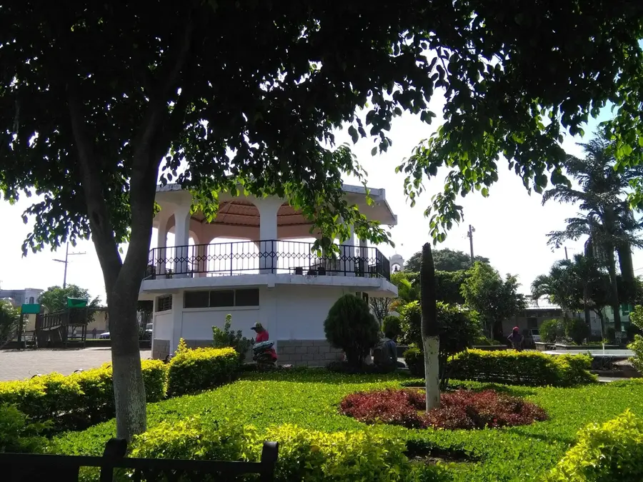
Explore nearby
Notable places around
Route planner — Car & Motorhome
Where do you start? We build the route here, with stops and country notes along the way.
© OpenStreetMap contributors · OpenRouteService
Sights in the town Sipacate-Naranjo National Park (2)
Sights nearby
Frequently asked questions
Can you surf in Sipacate-Naranjo park?
Are there turtles there?
Where can you stay overnight there?
Is the park safe for families?
When is the best season?
Sipacate-Naranjo National Park: where is it located?
Sipacate-Naranjo National Park: what is there to see?
Sipacate-Naranjo National Park: when is the best time to visit?
Sipacate-Naranjo National Park: why is it worth visiting?

Nearby cities

History & landmarks
More places