Plizio Visual Lab
Saxon Switzerland
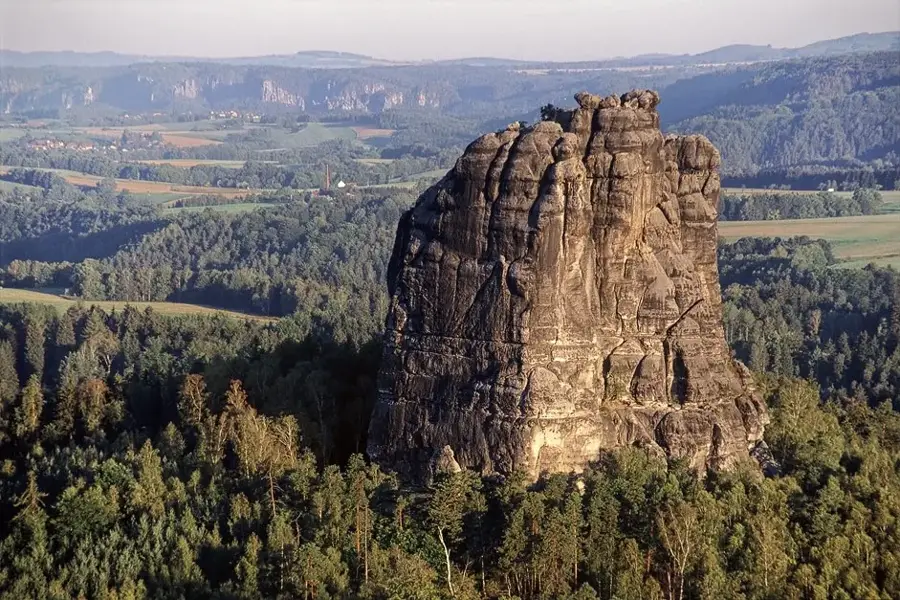
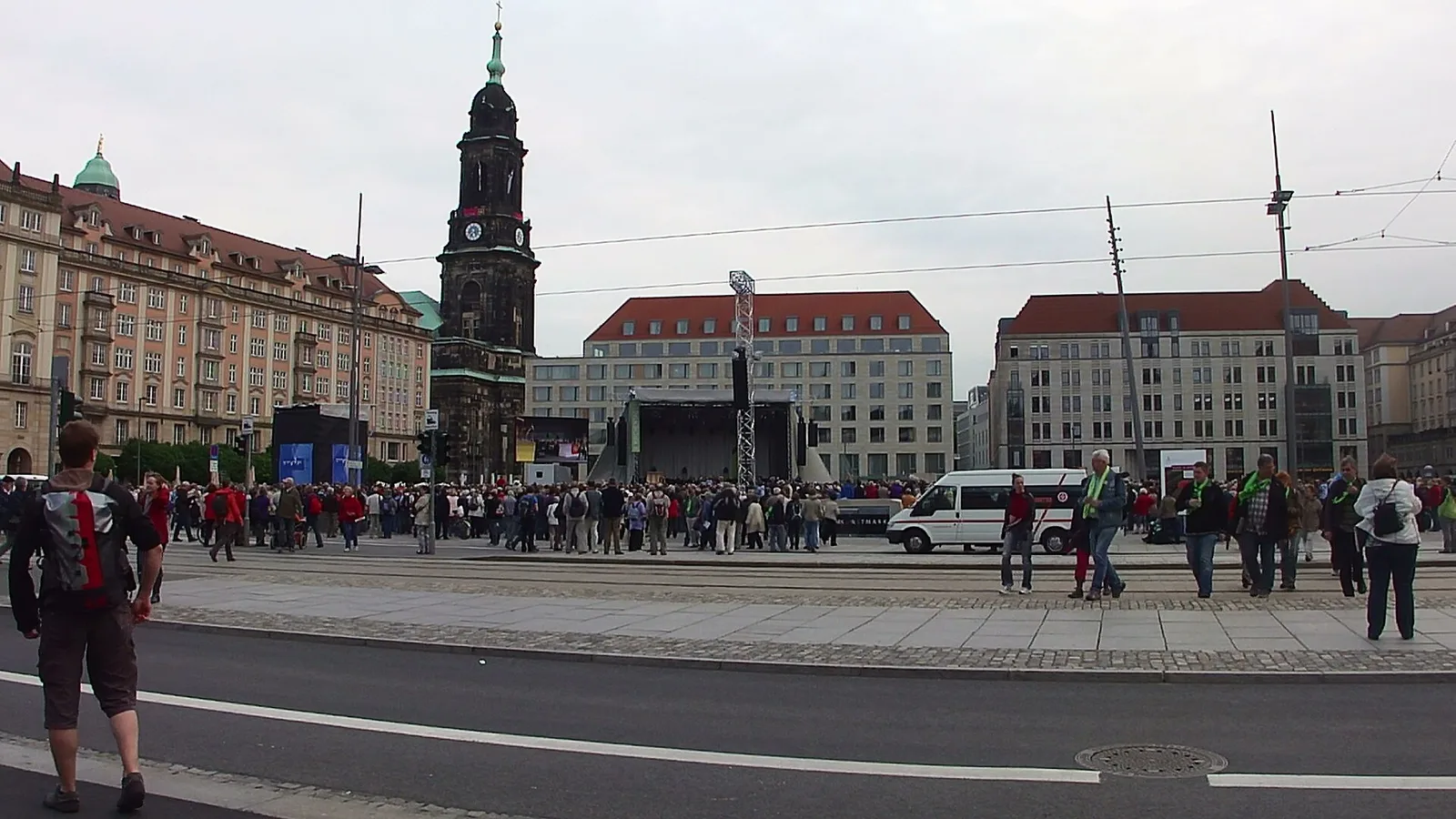
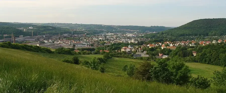
Saxon Switzerland is the German portion of the Elbe Sandstone Mountains, located southeast of Dresden in the state of Saxony. This unique erosional landscape is characterized by striking sandstone formations, deep gorges, and expansive table mountains, shaped over millions of years by the forces of water and wind. The area is home to Saxony's only national park, established in 1990 to protect the delicate flora and fauna. Among its most famous landmarks is the Bastei Bridge, a stone structure perched 194 meters above the Elbe River, offering sweeping views of the valley. The region was named in the 18th century by Swiss artists Adrian Zingg and Anton Graff, who were reminded of their homeland by the landscape. It is also the cradle of Saxon rock climbing, with over 1,100 free-standing peaks currently accessible to climbers. The variety of hiking trails, including the famous Malerweg (Artists' Way), makes it one of the most popular tourism destinations in Germany.
- Location: Saxony, Germany
- Top sights: Emmabank · Zahnsborn · Kleine Bastei
- Nearby: Rathen (8 km)
Best time to visit & climate
The most pleasant time to visit is Jun–Aug.
| Jan | Feb | Mar | Apr | May | Jun | Jul | Aug | Sep | Oct | Nov | Dec | |
|---|---|---|---|---|---|---|---|---|---|---|---|---|
| Avg °C | -2 | -1 | 3 | 8 | 13 | 17 | 20 | 19 | 14 | 9 | 4 | 0 |
| Rain mm | 61 | 41 | 48 | 38 | 64 | 73 | 87 | 81 | 58 | 54 | 56 | 56 |
📋 Practical info
Geography
Facts
- National park since October 1, 1990
- Bastei Bridge is 194 m above the Elbe
- Over 1,100 free-standing climbing peaks
- Highest point: Großer Zschirnstein (561 m)
- Home to the famous Malerweg hiking trail
- Formed from sediments of a Cretaceous sea
Explore nearby
Notable places around
Route planner — Car & Motorhome
Where do you start? We build the route here, with stops and country notes along the way.
© OpenStreetMap contributors · OpenRouteService
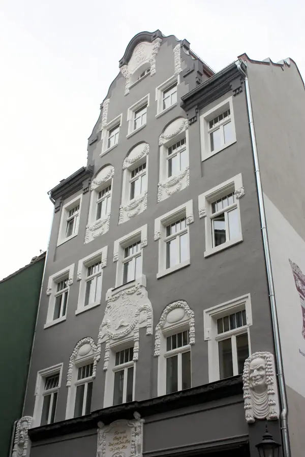
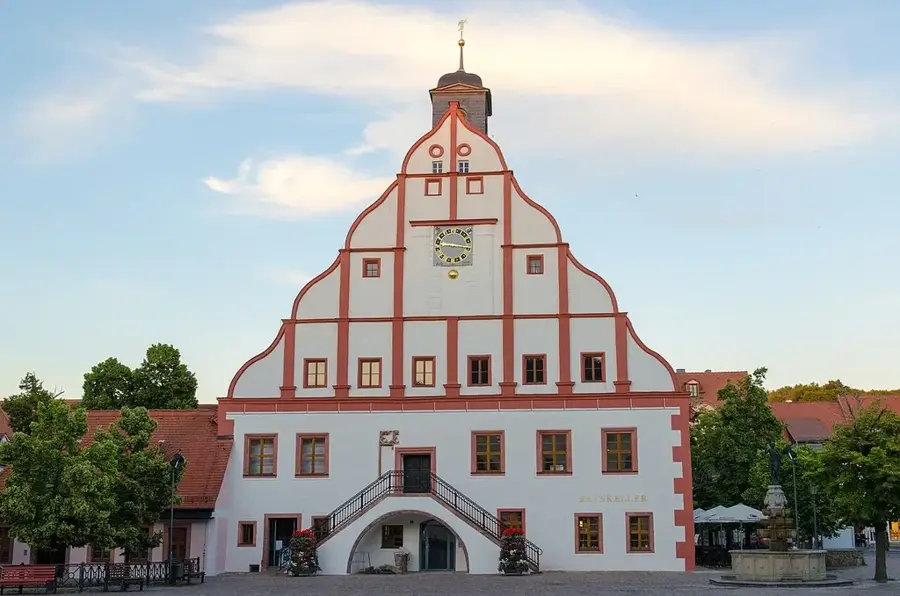
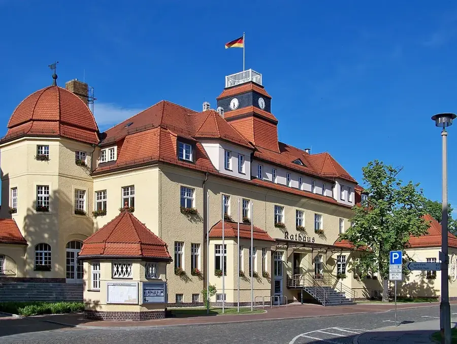
Sights in the town Saxon Switzerland (10)
Sendig-Blick
Viewpoint named after a painter, offering wide vistas over the sandstone mountains.
Ostrauer Aufzug
Technical structure used for transporting boats or materials.
St. Maria, Mittlerin aller Gnaden
Church of architectural and local historical significance in Saxon Switzerland.
Kirche Krippen
Protestant parish church in Krippen, neo-Romanesque-neo-Gothic mixed style with choir tower.
Schrammsteine
Rock massif in Saxon Switzerland, popular for climbing and hiking.
Erich Wustmann Museum🏛 museum
Museum dedicated to the life and work of local historian Erich Wustmann.
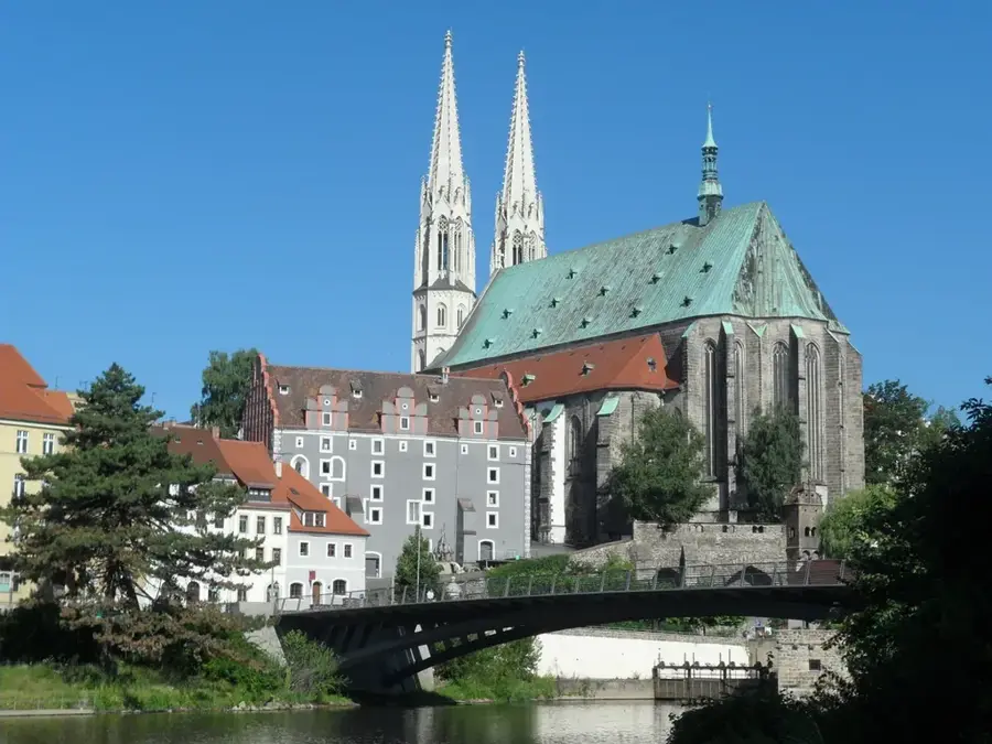
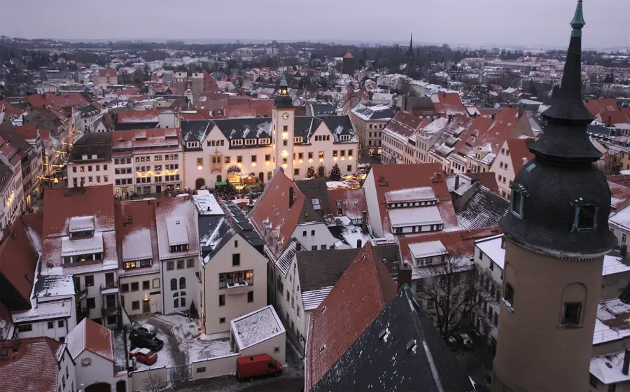
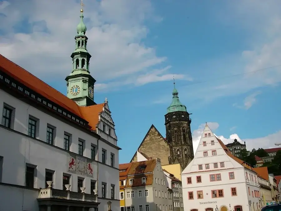
Sights nearby
Frequently asked questions
What is the Bastei Bridge?
How do you reach Saxon Switzerland from Dresden?
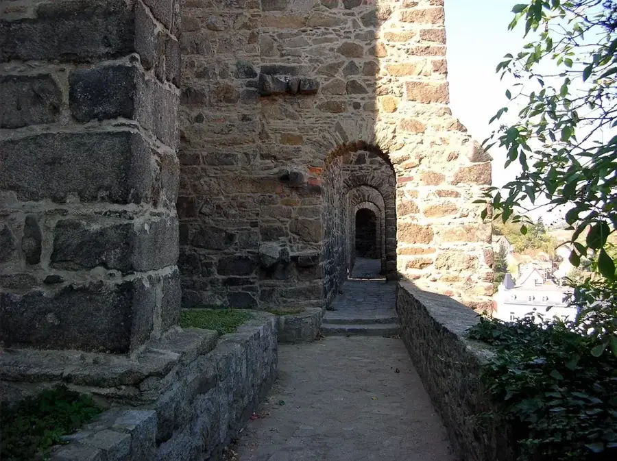
What is Königstein Fortress?
Is hiking in the region difficult?
Is climbing allowed in Saxon Switzerland?
Saxon Switzerland: where is it located?
Saxon Switzerland: what is there to see?
Saxon Switzerland: when is the best time to visit?
Saxon Switzerland: why is it worth visiting?

Nearby cities