Plizio Visual Lab
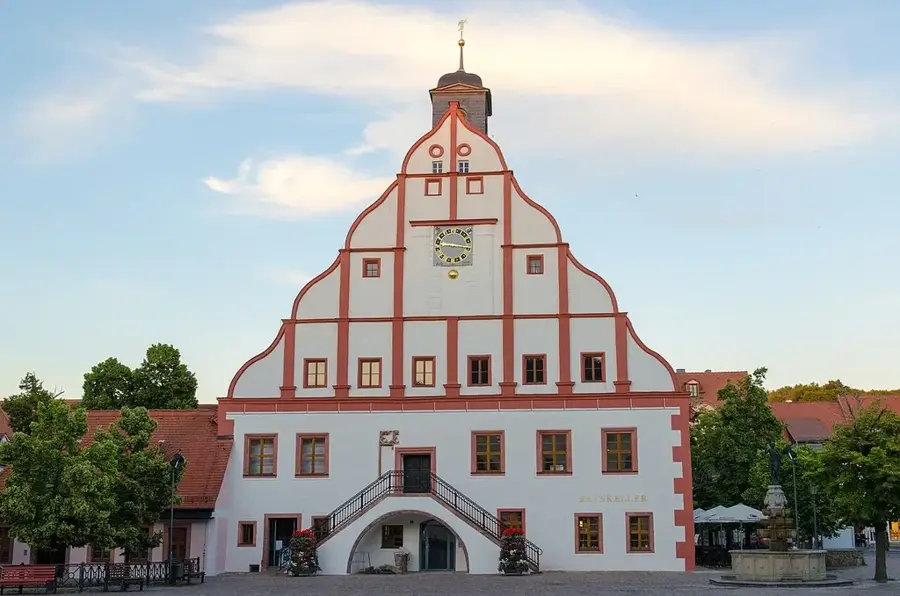
Kriebstein Reservoir

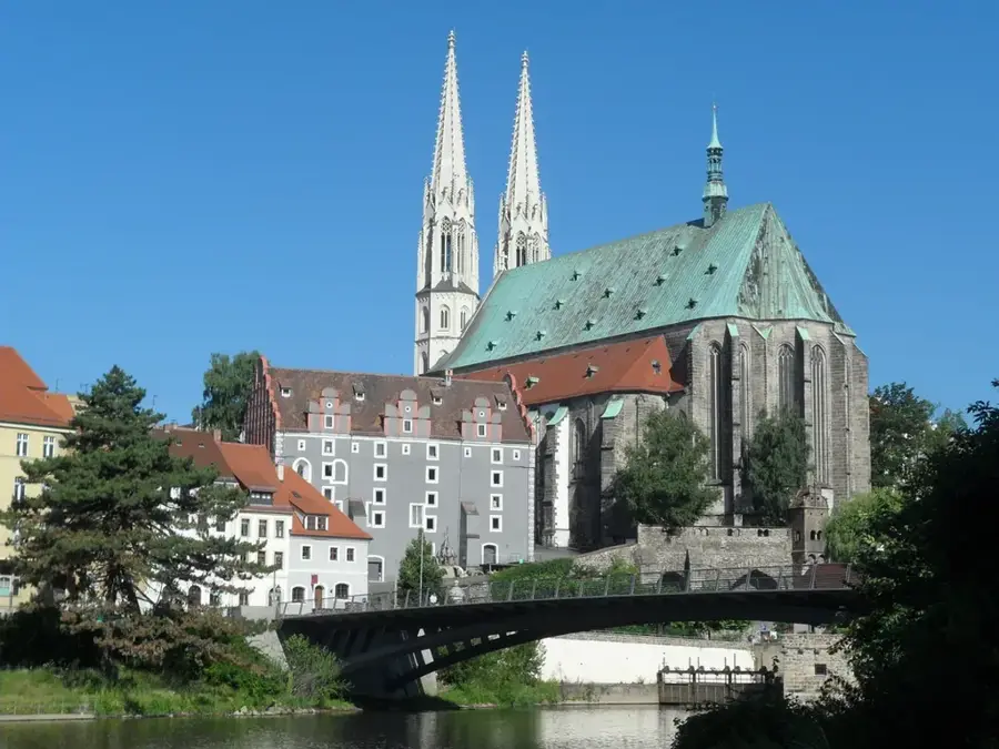
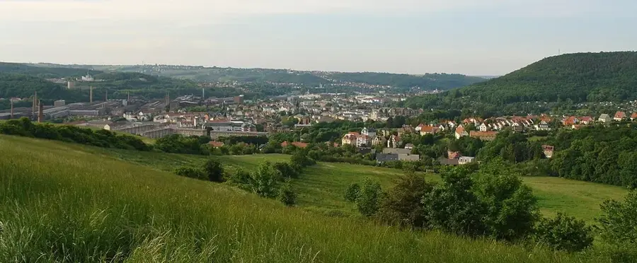
The Kriebstein Reservoir is a significant water management structure and recreational area in central Saxony, created by damming the Zschopau River. The dam was constructed between 1927 and 1930, primarily for hydroelectric power generation and flood protection. Standing approximately 28 meters high with a crest length of 230 meters, it creates a reservoir about nine kilometers long. The reservoir is set in an appealing low mountain landscape characterized by steep rocky banks and dense forests. A major cultural highlight nearby is Kriebstein Castle, regarded as Saxony's most beautiful knight's castle, perched steeply on a rock above the Zschopau. The area around the lake is a favorite destination for hikers, water sports enthusiasts, and anglers, with passenger boat services offering regular tours across the reservoir. Additionally, the reservoir is famous for the Kriebstein Lake Stage, which hosts operetta and musical performances during the summer months against a unique natural backdrop.
- Location: Saxony, Germany
- Top sights: Carolahöhe · Gerüstpfeilerviadukt · Schillerhöhe
- Nearby: Hartha (4 km)
Best time to visit & climate
The most pleasant time to visit is Jun–Aug.
| Jan | Feb | Mar | Apr | May | Jun | Jul | Aug | Sep | Oct | Nov | Dec | |
|---|---|---|---|---|---|---|---|---|---|---|---|---|
| Avg °C | -1 | 0 | 3 | 9 | 13 | 17 | 19 | 19 | 14 | 9 | 4 | 0 |
| Rain mm | 62 | 42 | 48 | 38 | 64 | 70 | 85 | 76 | 59 | 53 | 59 | 59 |
📋 Practical info
Geography
Facts
- Dam construction period: 1927–1930
- Height of the dam: approx. 28 meters
- Reservoir length: around 9 kilometers
- Hydroelectric plant generates green power
- Home to a floating lake stage
- Proximity to the historic Kriebstein Castle
Explore nearby
Notable places around
Route planner — Car & Motorhome
Where do you start? We build the route here, with stops and country notes along the way.
© OpenStreetMap contributors · OpenRouteService
Sights in the town Kriebstein Reservoir (10)
AP Goldene Höhe
Viewpoint with panoramic views over Lake Kriebstein.
Mehrgenerationenhaus Waldheim - Bergmann's Hof
Cultural and community centre in a historic courtyard in Waldheim.
Stadt- und Museumshaus🏛 museum
Museum of local history in Waldheim, housed in an old burgher house.
Schlosskirche St. Otto
Church on the grounds of Waldheim Castle, of Romanesque origin.
Waldbühne
Ruins of an open-air stage in the forest, once used for theatre performances.
Viadukt Diedenmühle
Stone arch railway bridge spanning the valley near Diedenmühle.
Sights nearby
Frequently asked questions
Are there boat trips on the reservoir?
Can you swim in the Kriebstein reservoir?
How far is the reservoir from Kriebstein Castle?
Are there hiking trails around the lake?
Where can I park near the dam?
Kriebstein Reservoir: where is it located?
Kriebstein Reservoir: what is there to see?
Kriebstein Reservoir: when is the best time to visit?
Kriebstein Reservoir: why is it worth visiting?

Nearby cities