Plizio Visual Lab
Weser River (Bremen)
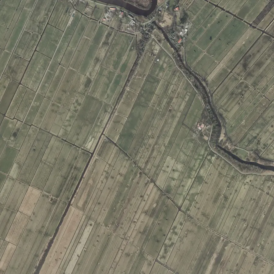
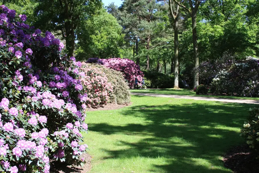
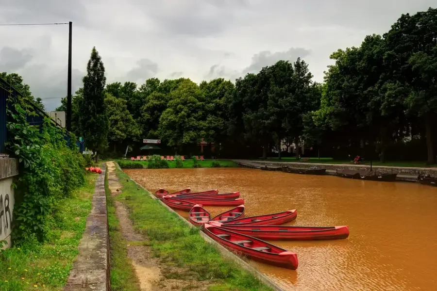
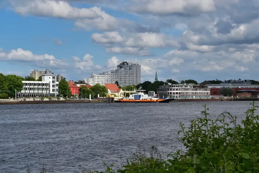
The Weser is the vital waterway of Bremen, formed by the confluence of the Werra and Fulda rivers at Hann. Münden. On its journey toward the North Sea, it flows through Bremen's urban area, where it is categorized into the Lower Weser and Middle Weser. Historically, the river provided the foundation for Bremen's rise as a major Hanseatic city, enabling long-distance trade in commodities such as coffee, tobacco, and grain. Along the Weser promenade, known as the Schlachte, the city's gastronomic life is now concentrated within former warehouses. The Weser is also a critical factor for shipbuilding and industrial logistics, requiring regular dredging to accommodate large seagoing vessels. In addition to economic use, the riverbanks and Werder Island serve as popular local recreation areas. The North Sea tides affect the river far into the city, which is a unique characteristic for an inland port location.
- Location: Bremen, Germany
- Nearby: Findorff (6 km)
Best time to visit & climate
The most pleasant time to visit is Jun–Aug.
| Jan | Feb | Mar | Apr | May | Jun | Jul | Aug | Sep | Oct | Nov | Dec | |
|---|---|---|---|---|---|---|---|---|---|---|---|---|
| Avg °C | 1 | 2 | 4 | 9 | 13 | 16 | 18 | 18 | 14 | 10 | 6 | 2 |
| Rain mm | 73 | 55 | 51 | 39 | 55 | 64 | 80 | 74 | 58 | 63 | 66 | 73 |
📋 Practical info
Geography
Facts
- The Weser is 452 kilometers long, measured from Hann. Münden.
- The tidal range in Bremen is approximately 4 meters due to river correction.
- The river was first documented in ancient sources under the name 'Visurgis'.
- The Weser is the only major German river that flows entirely within the country.
- Dredging of the Lower Weser in the 19th century saved Bremen's port economy.
- There are over 10 bridges and two ferries crossing the river within Bremen.
Explore nearby
Notable places around
Route planner — Car & Motorhome
Where do you start? We build the route here, with stops and country notes along the way.
© OpenStreetMap contributors · OpenRouteService
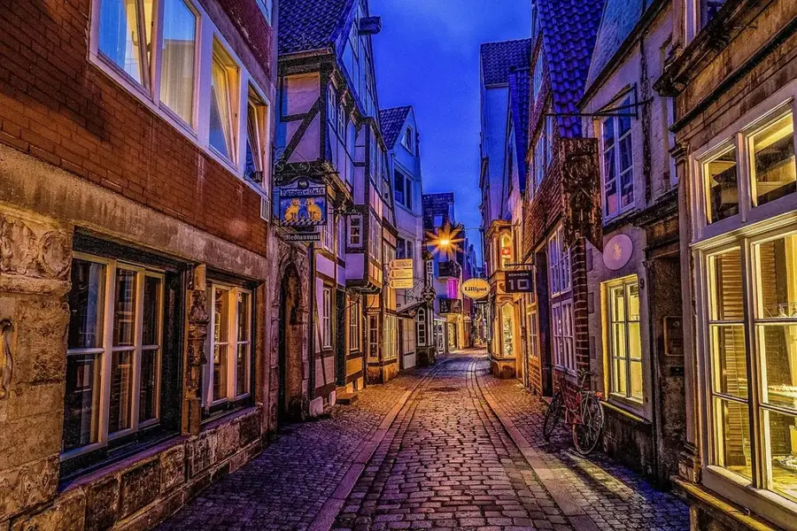
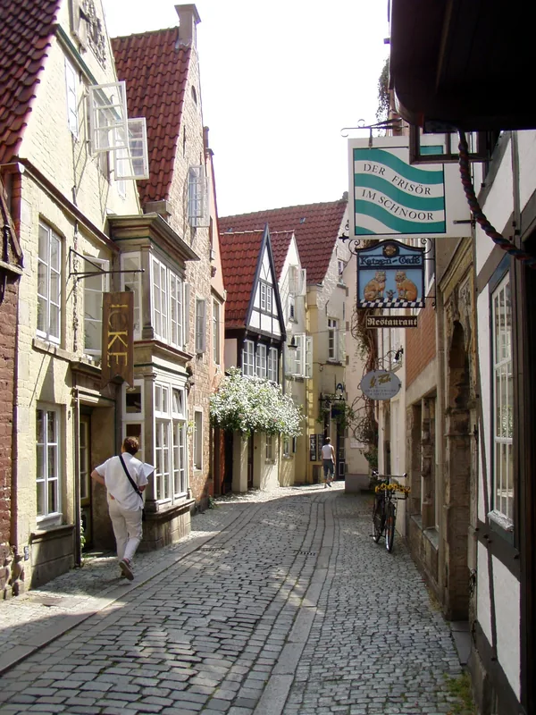
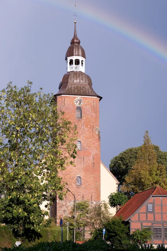
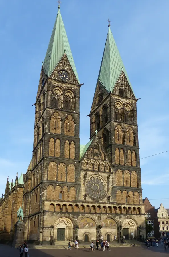
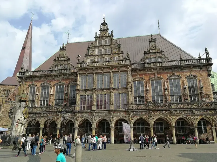
Sights in the town Weser River (Bremen) (1)
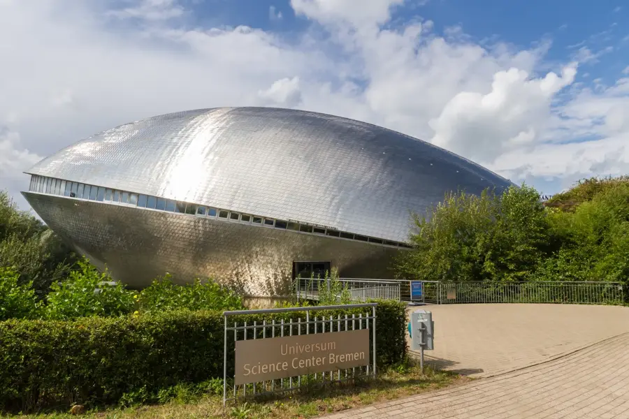
Sights nearby
Frequently asked questions
Can you take boat trips on the Weser?
What is the Schlachte?
How important is the Weser for Bremen?
Can you cycle along the Weser?
Are there beaches on the Weser in Bremen?
Weser River (Bremen): where is it located?
Weser River (Bremen): when is the best time to visit?
Weser River (Bremen): why is it worth visiting?

Nearby cities

History & landmarks
More places