Plizio Visual Lab
Sierra de Bahoruco
Weather…
Water temperature…
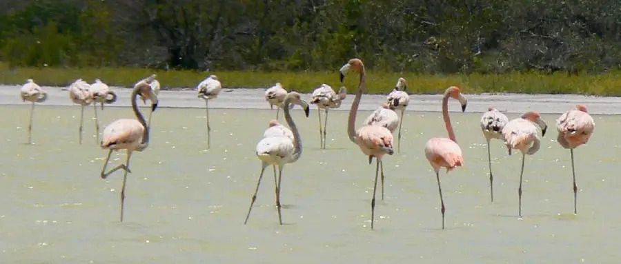
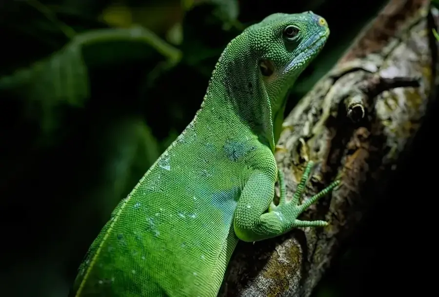
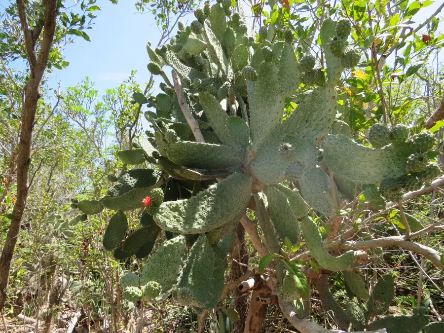
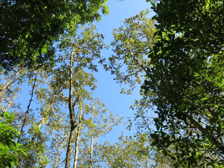
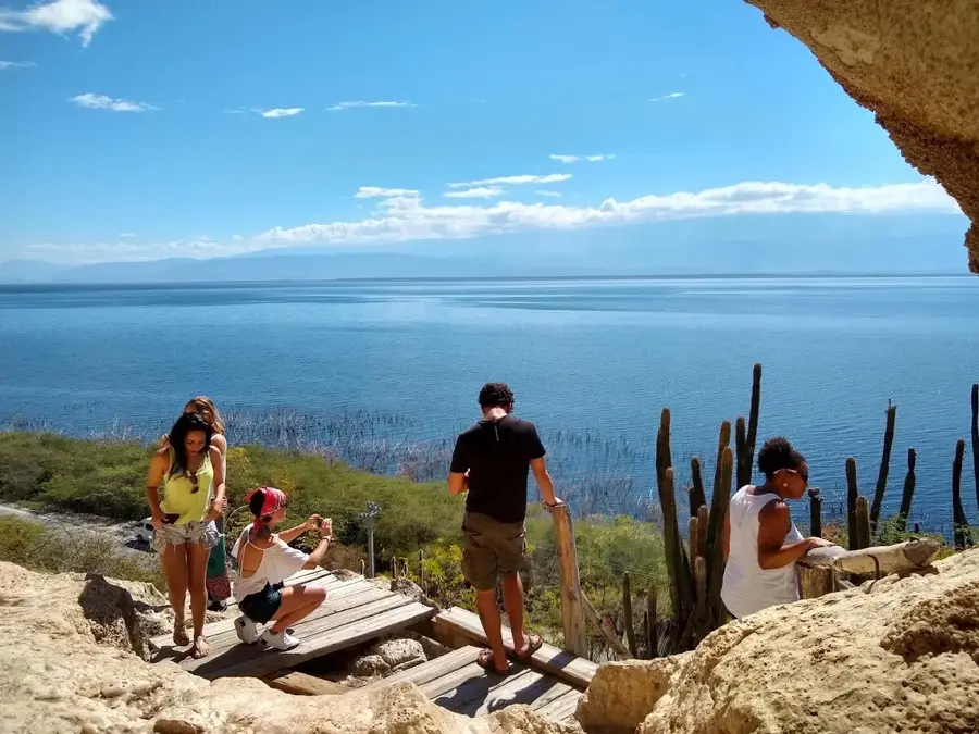
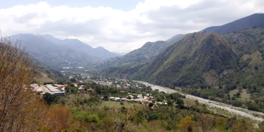
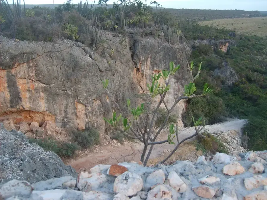
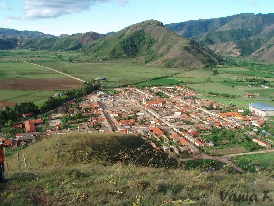
The Sierra de Bahoruco is a mountain range in the southwestern Dominican Republic, forming the eastern part of the trans-boundary massif that continues into Haiti as the Massif de la Selle. It is distinguished by extraordinary ecological diversity, ranging from dry forests at sea level to cloud forests and pine forests at elevations exceeding 2,000 meters. Geologically, the region is unique worldwide as the only source of Larimar, a rare blue variety of pectolite mined in the hills of Los Chupaderos. The Sierra is an integral part of the UNESCO Jaragua-Bahoruco-Enriquillo Biosphere Reserve, hosting numerous endemic plant and bird species. Historically, the rugged terrain served as a sanctuary for cimarrones (escaped slaves) and indigenous groups seeking refuge. Today, the Sierra is of paramount importance for biodiversity conservation, particularly for rare mammals like the Hispaniolan solenodon and hutia. Agricultural production in the valleys focuses primarily on coffee and tropical fruits.
- Location: Dominican Republic
- Nearby: Villa Jaragua (15 km)
Best time to visit & climate
The most pleasant time to visit is Jan–Mar.
| Jan | Feb | Mar | Apr | May | Jun | Jul | Aug | Sep | Oct | Nov | Dec | |
|---|---|---|---|---|---|---|---|---|---|---|---|---|
| Avg °C | 24 | 24 | 24 | 25 | 25 | 26 | 26 | 26 | 26 | 26 | 25 | 24 |
| Rain mm | 24 | 21 | 33 | 44 | 73 | 56 | 57 | 87 | 60 | 101 | 97 | 38 |
📋 Practical info
Geography
Facts
- Highest peak on the Dominican side is Loma del Toro (2,367 m)
- World's only known source of the blue semiprecious stone Larimar
- Forms part of the UNESCO Jaragua-Bahoruco-Enriquillo Biosphere Reserve
- Home to over 50% of the country's endemic bird species
- Critical habitat for the rare Hispaniolan solenodon (Solenodon paradoxus)
- Contains significant bauxite deposits in the Las Mercedes area
Explore nearby
Notable places around
Route planner — Car & Motorhome
Where do you start? We build the route here, with stops and country notes along the way.
© OpenStreetMap contributors · OpenRouteService
Sights nearby
Frequently asked questions
Where is the Sierra de Bahoruco located?
What can you find there?
What is the region mineralogically known for?
Is the area touristically developed?
What is the highest elevation?
Sierra de Bahoruco: where is it located?
Sierra de Bahoruco: when is the best time to visit?
Sierra de Bahoruco: why is it worth visiting?

Nearby cities
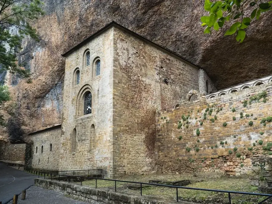


History & landmarks
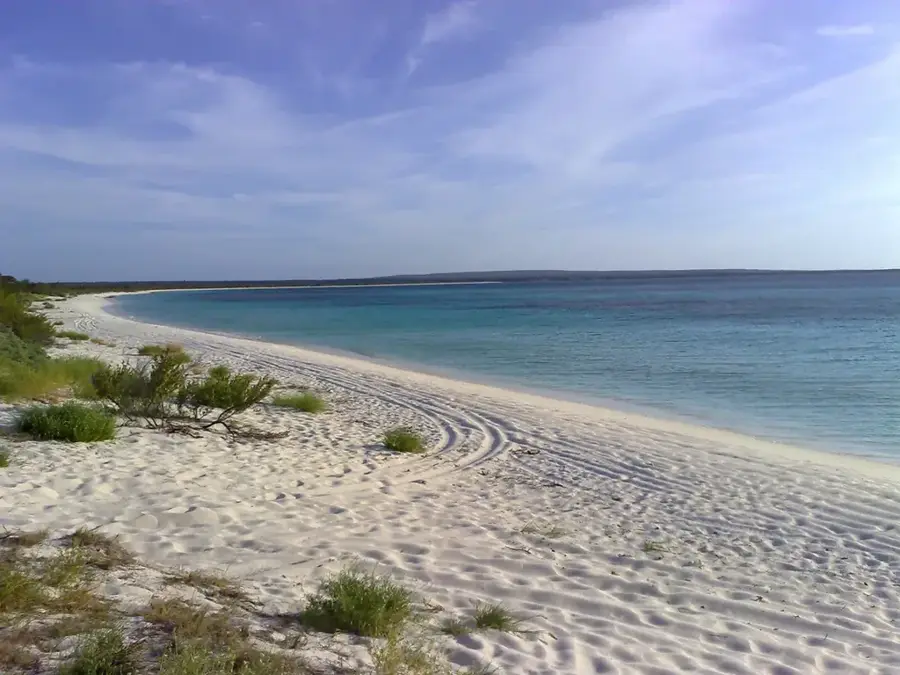
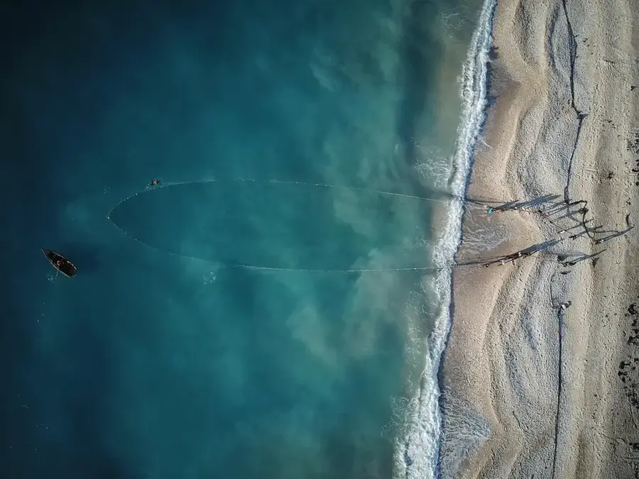
Nature
More places