Plizio Visual Lab
Nagua

ℹ️Practical info — Nagua
▾
🌤 Weather — 5 days
📍 Nearby
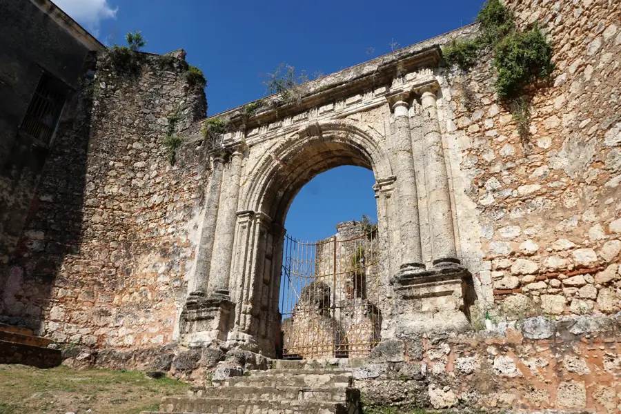
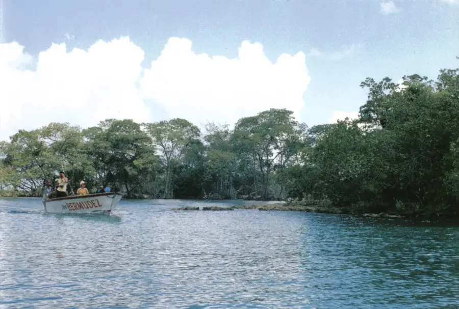
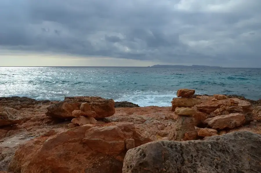
Sights nearby
💡 Tips
- Nagua is a coastal town but the ocean currents at the Malecon (promenade) are notoriously strong and dangerous; do not swim there.
- Motorcycle taxis (motoconchos) are the primary mode of transport; always agree on the fare before hopping on.
- The town is animated and noisy, especially on weekends; if you prefer quiet nights, choose accommodation away from the main beachfront road.
- Look out for vendors selling sweet treats on tricycles along the beaches; they carry excellent local coconut desserts.
🍽 Food
Fish cooked in a rich coconut sauce is the regional specialty; try it at the casual seafood shacks near Poza de Bojolo.
Grab freshly fried empanadas filled with cheese or chicken from the evening vendors along the Malecon.
Traditional coconut bread sold by wandering vendors on the beaches and main streets.
🛍 Shopping · 🧘 Quiet spots
Buy the freshest catch directly from the fishermen returning to the docks in the early morning.
Small stalls along the coast sell handmade shell jewelry and local Larimar stones.
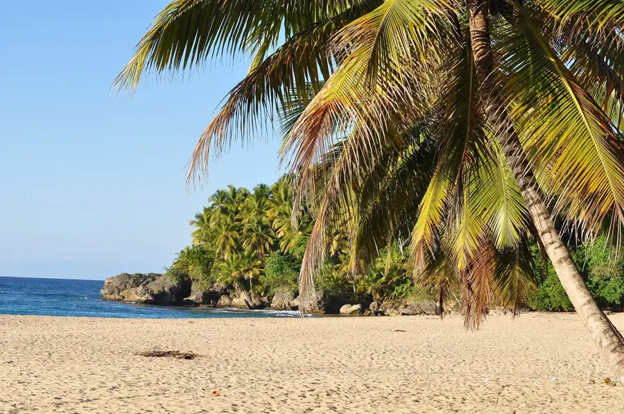
A few kilometers out of town, this beach features calmer waters and a relaxed vibe compared to the busy city center.
Take a stroll along the oceanfront promenade at sunrise before the city traffic and loud music start.
Water temperature…
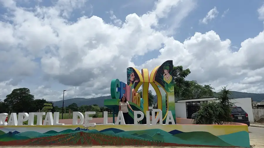
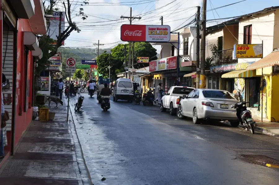
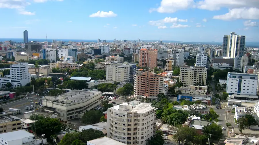
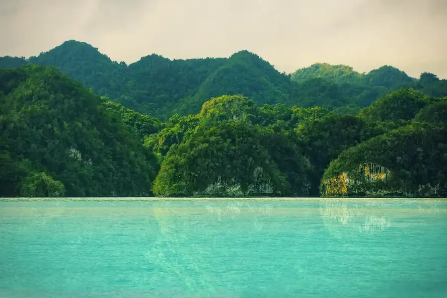
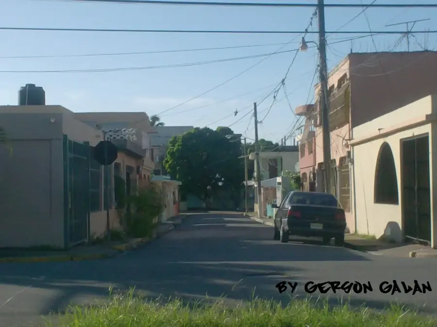
Nagua is the capital of the María Trinidad Sánchez province on the northeastern coast of the Dominican Republic, situated directly alongside the Atlantic Ocean. Founded in 1938 and originally named Julia Molina, the city is geographically distinct because portions of its urban area lie below sea level, making it highly susceptible to tidal surges and coastal erosion. Nagua's economy is deeply rooted in fishing and large-scale agriculture; the surrounding province is the nation's leading producer of coconuts and a major contributor to the cocoa industry. The city is famous for its extensive palm-fringed beaches and its location near scenic landmarks such as the Arroyo Salado lagoon and the Cabo Francés Viejo National Park. Historically, Nagua has been a focal point for agrarian social movements and currently serves as a vital commercial and educational hub for the northeast. While its humid tropical climate fosters lush natural beauty, the low elevation remains a primary concern for local infrastructure and flood management efforts.
- Location: Dominican Republic
- Nearby: El Factor (5 km)
- Population: ~33.862 (2026)
Best time to visit & climate
The most pleasant time to visit is Jan–Mar.
| Jan | Feb | Mar | Apr | May | Jun | Jul | Aug | Sep | Oct | Nov | Dec | |
|---|---|---|---|---|---|---|---|---|---|---|---|---|
| Avg °C | 25 | 25 | 25 | 26 | 27 | 28 | 28 | 28 | 28 | 28 | 26 | 25 |
| Rain mm | 52 | 31 | 39 | 45 | 68 | 40 | 52 | 57 | 61 | 61 | 89 | 59 |
Geography
Facts
- Nagua was named Julia Molina until 1961, after dictator Trujillo's mother.
- Portions of the city are situated approximately one meter below sea level.
- The surrounding province is the top coconut producer in the Dominican Republic.
- A massive earthquake and tsunami devastated parts of the area in 1946.
- The city hosts a regional campus of the state university, UASD.
- Nagua is locally renowned for its distinct seafood cuisine and fish soups.
Explore nearby
Notable places around
Route planner — Car & Motorhome
Where do you start? We build the route here, with stops and country notes along the way.
© OpenStreetMap contributors · OpenRouteService
Frequently asked questions
Are there beaches in Nagua?
What is Nagua known for?
Is it safe for tourists?
When is the best time for surfing?
What can be visited nearby?
Nagua: where is it located?
Nagua: when is the best time to visit?
Nagua: why is it worth visiting?

Nearby cities


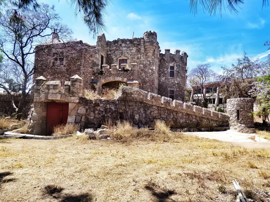


History & landmarks


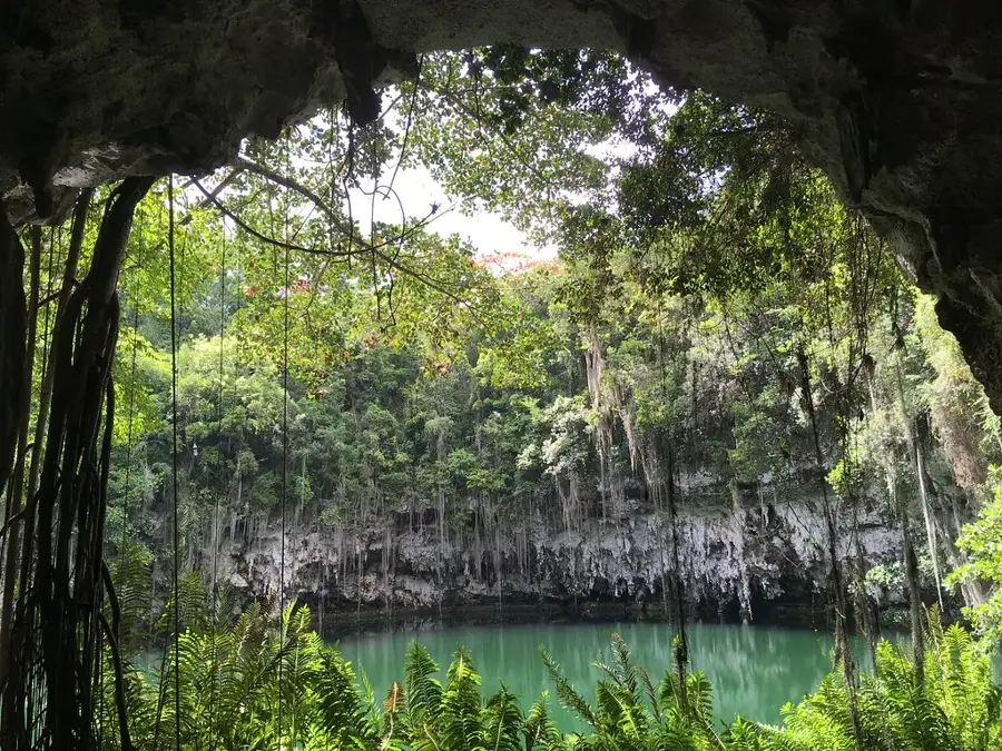
Nature
More places