Plizio Visual Lab
Sierra de Samaná
Weather…
Water temperature…
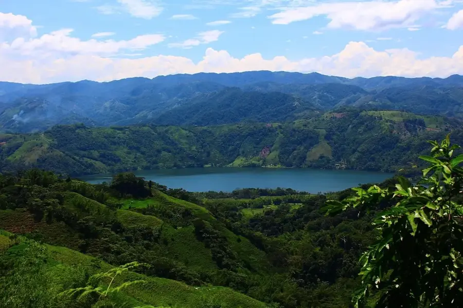
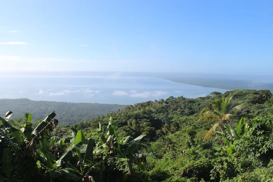
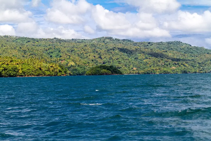
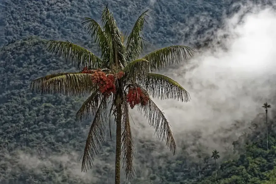
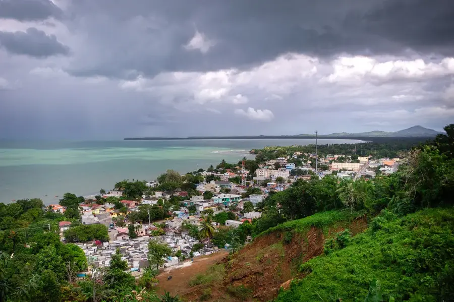
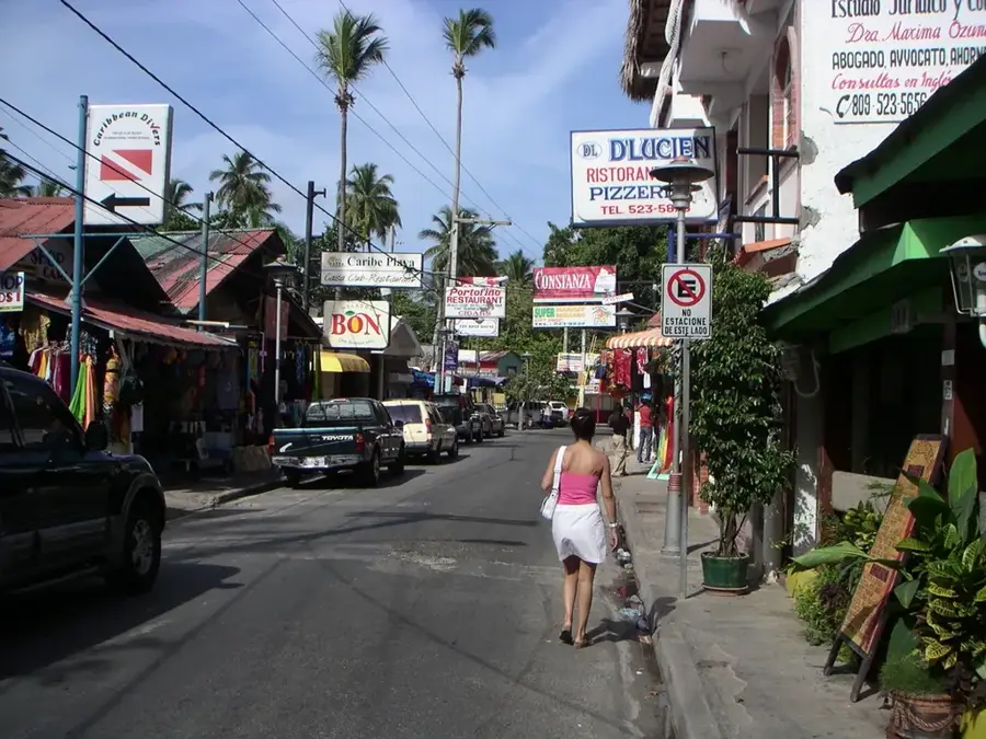
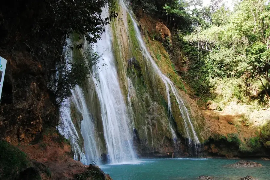
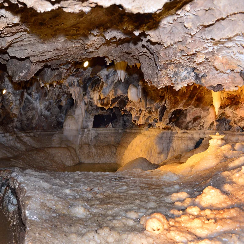
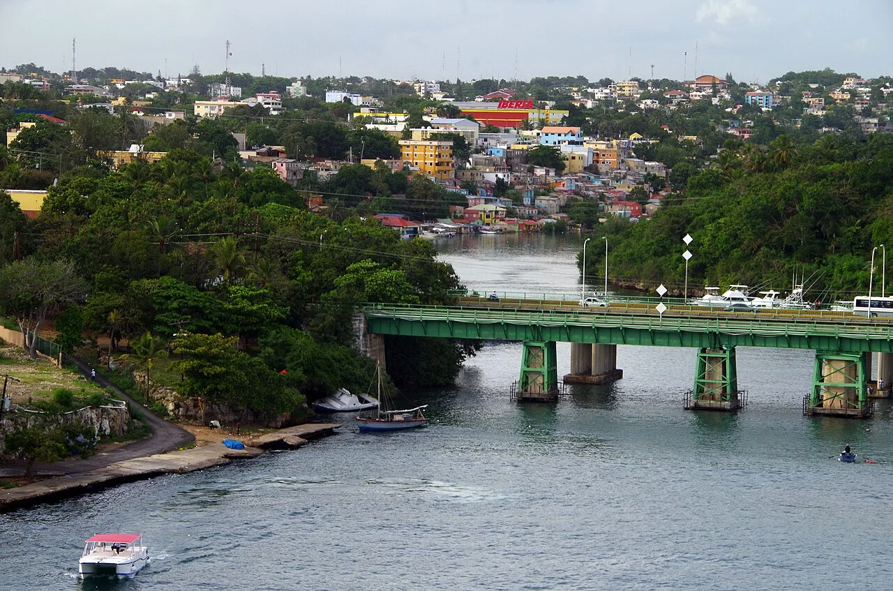
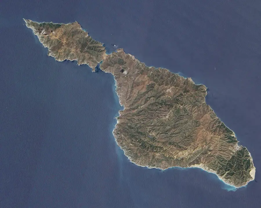
The Sierra de Samaná is a mountain range that runs along the entire length of the Samaná Peninsula in the northeastern Dominican Republic. Geologically, it is an extension of the Cordillera Septentrional, though it is separated from the main range by the Samaná Bay and low-lying marshlands. The range is primarily composed of metamorphic rocks, such as marble and limestone, giving it a rugged and distinct appearance. Its highest point is Monte Mesa, reaching an elevation of approximately 605 meters above sea level. The slopes are draped in lush tropical rainforest, home to diverse wildlife and widely used for cultivating coconut palms and coffee. The sierra shields the peninsula from strong northern winds, creating a humid microclimate that feeds the region's numerous waterfalls, including the famous El Limón waterfall.
- Location: Dominican Republic
- Top sights: La Toca Formation · Action of 18 October 1782
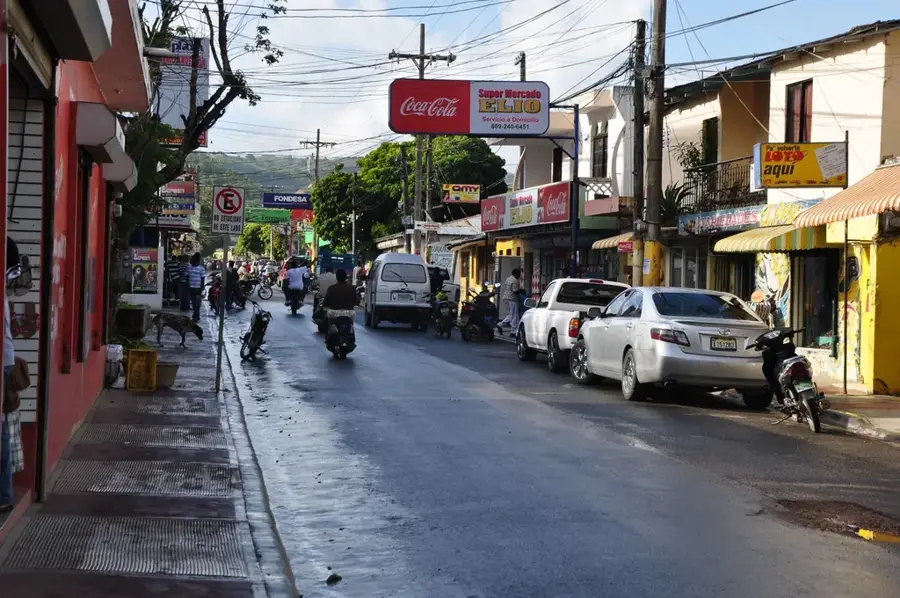
- Nearby: Samana (4 km)
Best time to visit & climate
The most pleasant time to visit is Jan–Mar.
| Jan | Feb | Mar | Apr | May | Jun | Jul | Aug | Sep | Oct | Nov | Dec | |
|---|---|---|---|---|---|---|---|---|---|---|---|---|
| Avg °C | 25 | 25 | 25 | 26 | 27 | 28 | 28 | 28 | 28 | 27 | 26 | 25 |
| Rain mm | 45 | 32 | 32 | 50 | 81 | 46 | 63 | 68 | 70 | 67 | 83 | 57 |
📋 Practical info
Geography
Facts
- Highest peak is Monte Mesa at 605 meters.
- Predominantly composed of marble and limestone deposits.
- Stretches approximately 60 kilometers across the peninsula.
- Source of the famous El Limón waterfall system.
- Major area for coconut palm cultivation in the region.
- Geologically linked to the Cordillera Septentrional formation.
Explore nearby
Notable places around
Route planner — Car & Motorhome
Where do you start? We build the route here, with stops and country notes along the way.
© OpenStreetMap contributors · OpenRouteService
Sights in the town Sierra de Samaná (2)
Sights nearby
Frequently asked questions
Where is the Sierra de Samaná located?
What is the highest elevation of the range?
What is the landscape feature?
Which famous waterfall originates here?
What is grown in these mountains?
Sierra de Samaná: where is it located?
Sierra de Samaná: what is there to see?
Sierra de Samaná: when is the best time to visit?
Sierra de Samaná: why is it worth visiting?

Nearby cities

History & landmarks
Nature
More places