Plizio Visual Lab
Nalga de Maco National Park
Weather…
Water temperature…
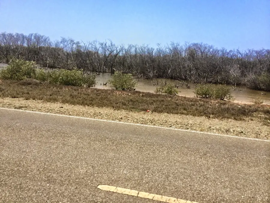
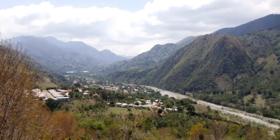
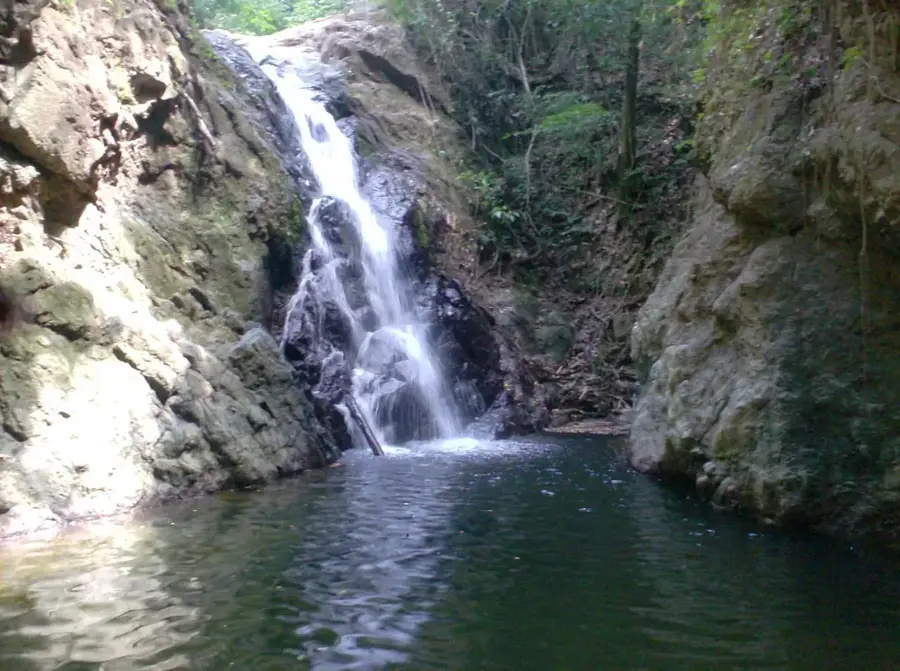
The Nalga de Maco National Park is located in the western reaches of the Cordillera Central, near the border with Haiti, in the Elías Piña province. The park is named after the Nalga de Maco mountain, which reaches an elevation of 1,990 meters and is recognized for its distinctive profile. The park preserves one of the country's best-preserved cloud forest areas and features the only dwarf forest on the island of Hispaniola. Due to high humidity and constant cloud cover, the trees in this high-altitude ecosystem are densely covered with mosses, lichens, and numerous orchid species. This remote and rugged region serves as a vital sanctuary for rare animal species, including the endangered Hispaniolan solenodon and hutia. Additionally, the park acts as a major watershed, where several rivers originate to supply the surrounding valleys. With few developed trails, Nalga de Maco remains a destination for seasoned hikers and scientists seeking to explore pristine Caribbean wilderness.
- Location: Dominican Republic
- Nearby: Bánica (6 km)
Best time to visit & climate
The most pleasant time to visit is Jan–Mar.
| Jan | Feb | Mar | Apr | May | Jun | Jul | Aug | Sep | Oct | Nov | Dec | |
|---|---|---|---|---|---|---|---|---|---|---|---|---|
| Avg °C | 20 | 21 | 22 | 23 | 23 | 24 | 25 | 25 | 24 | 23 | 22 | 21 |
| Rain mm | 27 | 20 | 28 | 38 | 56 | 35 | 36 | 52 | 44 | 56 | 63 | 37 |
📋 Practical info
Geography
Facts
- The national park was officially established in 1995.
- The summit of Nalga de Maco is 1,990 meters above sea level.
- The park encompasses a total area of approximately 278 square kilometers.
- It is the only location on Hispaniola featuring an elfin dwarf forest.
- The average annual rainfall in the park exceeds 2,500 mm.
- The Artibonito River has one of its primary sources in this mountain range.
Explore nearby
Notable places around
Route planner — Car & Motorhome
Where do you start? We build the route here, with stops and country notes along the way.
© OpenStreetMap contributors · OpenRouteService
Sights nearby
Frequently asked questions
Why does the park have this unusual name?
Where is the park located?
Is the park developed for tourism?
Are there elfin forests there?
Can you go camping there?
Nalga de Maco National Park: where is it located?
Nalga de Maco National Park: when is the best time to visit?
Nalga de Maco National Park: why is it worth visiting?

Nearby cities


More places