Plizio Visual Lab
Santo Domingo
ℹ️Practical info — Santo Domingo
▾
🌤 Weather — 5 days
📍 Nearby
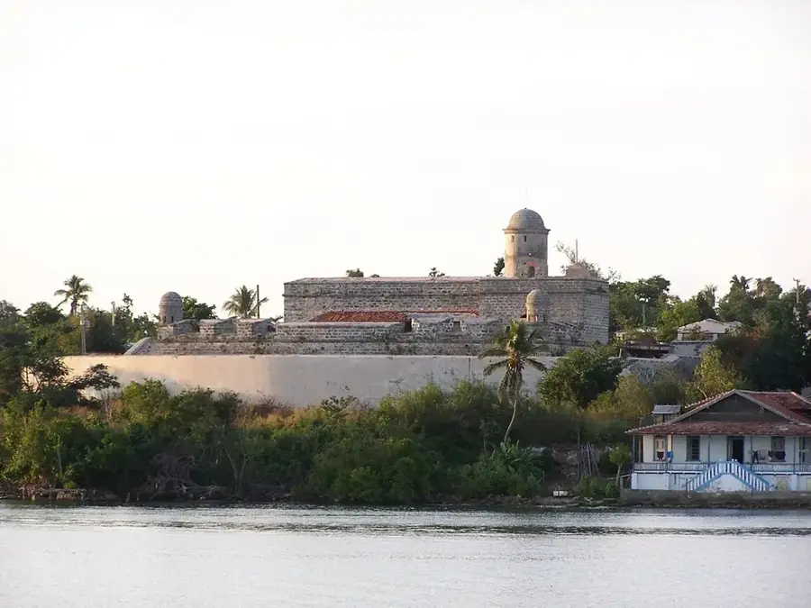
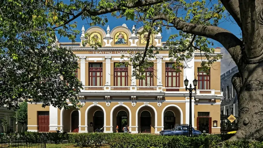
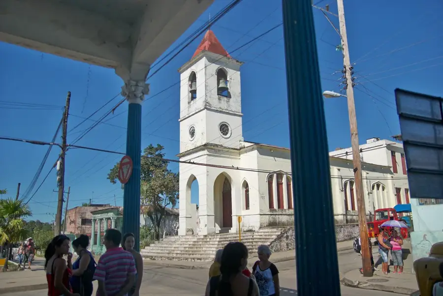
Sights nearby
💡 Tips
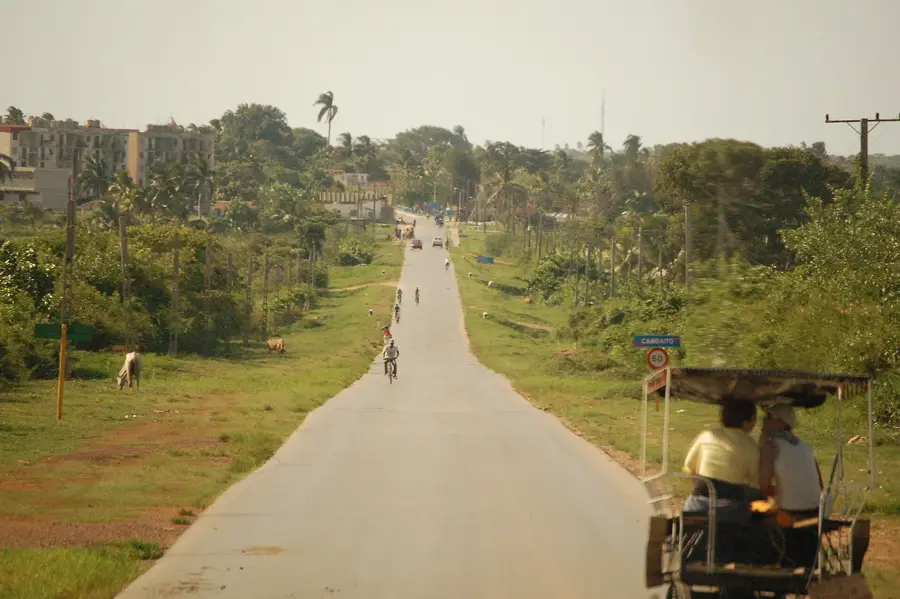
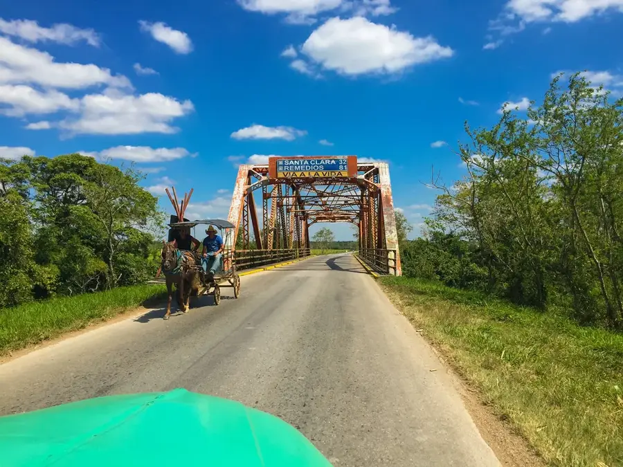
- Use private shared taxis (almendrones) for comfortable travel along the Carretera Central.
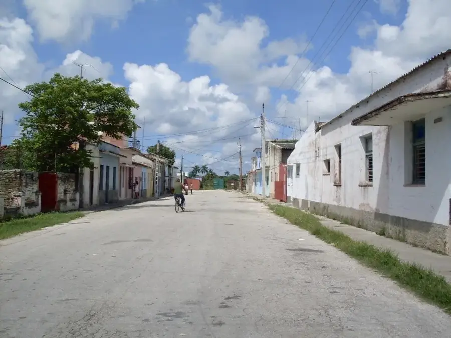
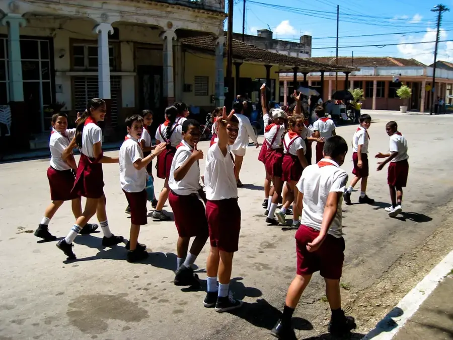
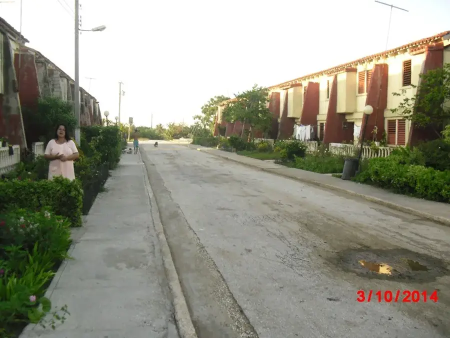
- Experience authentic rural Cuban life by exploring the town's side streets.
- Bring a hat and sunscreen, as the agricultural surroundings offer little shade.
- Keep an eye out for horse-drawn carts sharing the roads with old American cars.
🍽 Food
Drink freshly pressed, ice-cold sugarcane juice from a roadside stall.
Savor this classic rice and beans dish at a traditional local eatery.
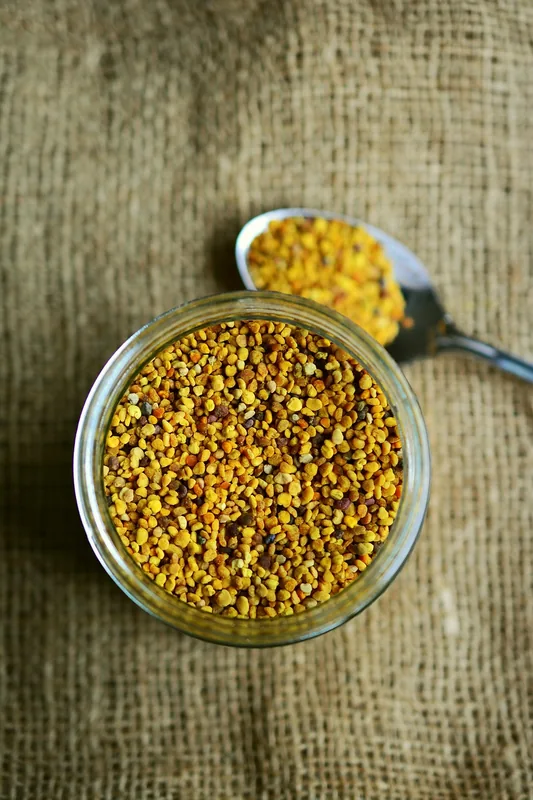
Look for homemade white cheese sold by vendors along the highway.
🛍 Shopping · 🧘 Quiet spots
Stop to buy seasonal fruits like mangoes and mamey directly from farmers.
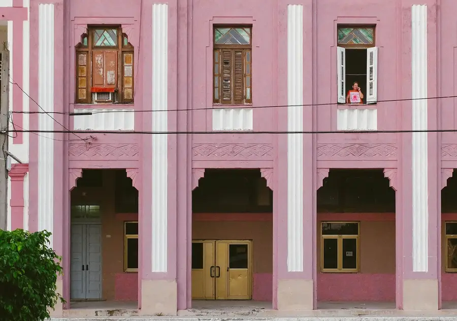
The commercial street features a glimpse into daily Cuban shopping.
A quiet place to sit and observe the slow pace of rural life.
Take a walk just outside town to see the vast sugarcane fields.
Water temperature…
Santo Domingo, often known as Santo Domingo de los Colorados, is the capital of the Santo Domingo de los Tsáchilas province and a strategically vital transportation hub in Ecuador. Situated in the western foothills of the Andes at an elevation of about 625 meters, the city connects the coastal region with the highlands. The area is famous for the indigenous Tsáchila community, known for their traditional red hair dye made from achiote seeds, which gave them the name "Colorados." Economically, Santo Domingo is a major center for agriculture and livestock, with trade in meat, cocoa, and bananas playing a central role. The humid tropical climate favors lush vegetation and a rich variety of flora and fauna in the surrounding areas. The city itself has grown rapidly in recent decades, developing into a spirited commercial hub. Culturally, the annual Kasama festival of the Tsáchila is a highlight, featuring traditional music, dances, and rituals. Santo Domingo also serves as a gateway to the region's pristine cloud forests and nature reserves.
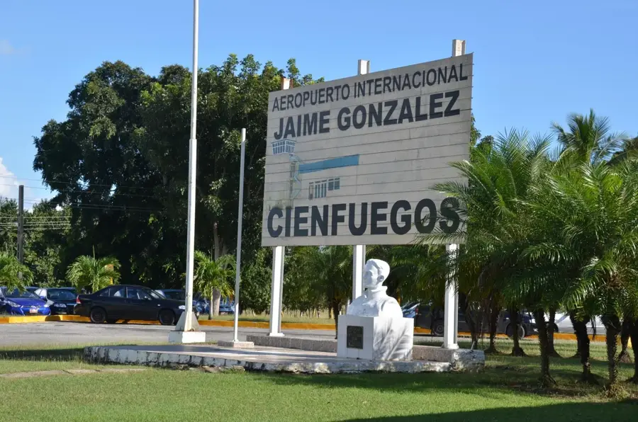
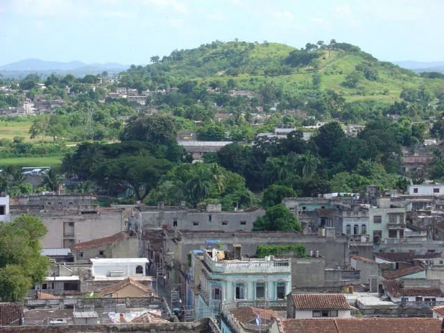
- Location: Cuba
- Top sights: Museo Municipal Santo Domingo · Pedro Julio Marcelo · Puente Lambada
- Nearby: Cruces (6 km)
- Population: ~45.476 (2023)
Best time to visit & climate
The most pleasant time to visit is Jan, Feb, Dec.
| Jan | Feb | Mar | Apr | May | Jun | Jul | Aug | Sep | Oct | Nov | Dec | |
|---|---|---|---|---|---|---|---|---|---|---|---|---|
| Avg °C | 23 | 24 | 25 | 27 | 27 | 28 | 29 | 29 | 28 | 27 | 25 | 24 |
| Rain mm | 13 | 18 | 16 | 25 | 76 | 67 | 60 | 70 | 79 | 71 | 24 | 17 |
Geography
Facts
- Capital of the Santo Domingo de los Tsáchilas province, created in 2007.
- Population of approx. 450,000 residents in the urban area.
- Located at an average elevation of 625 meters above sea level.
- Key transit point connecting the Andean highlands and the coast.
- The Tsáchila community consists of about 2,000 members today.
- The Kasama festival is traditionally celebrated during Easter weekend.
Explore nearby
Notable places around
Route planner — Car & Motorhome
Where do you start? We build the route here, with stops and country notes along the way.
© OpenStreetMap contributors · OpenRouteService
Sights in the town Santo Domingo (3)
Frequently asked questions
What is Santo Domingo known for?
How to get there?
What is produced here?
Is it a tourist destination?
What to eat?
Santo Domingo: where is it located?
Santo Domingo: what is there to see?
Santo Domingo: when is the best time to visit?
Santo Domingo: why is it worth visiting?

Nearby cities
More places