Plizio Visual Lab
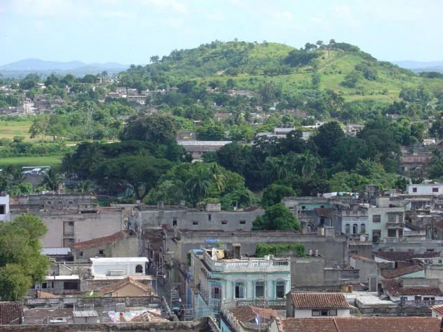
Loma del Cuchillo
Weather…
Water temperature…
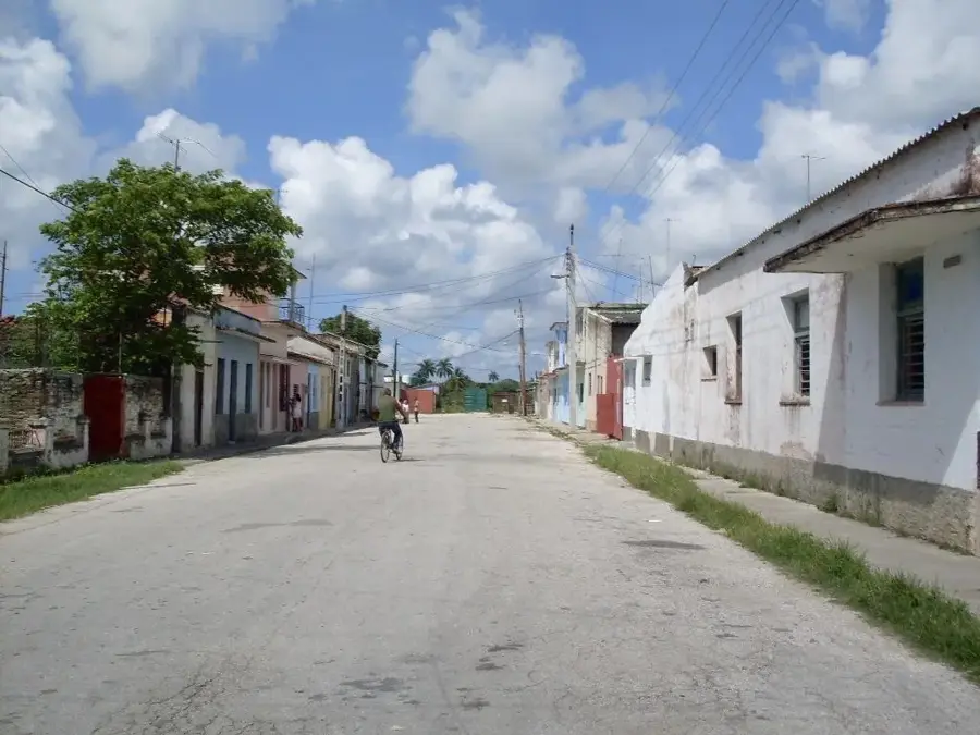
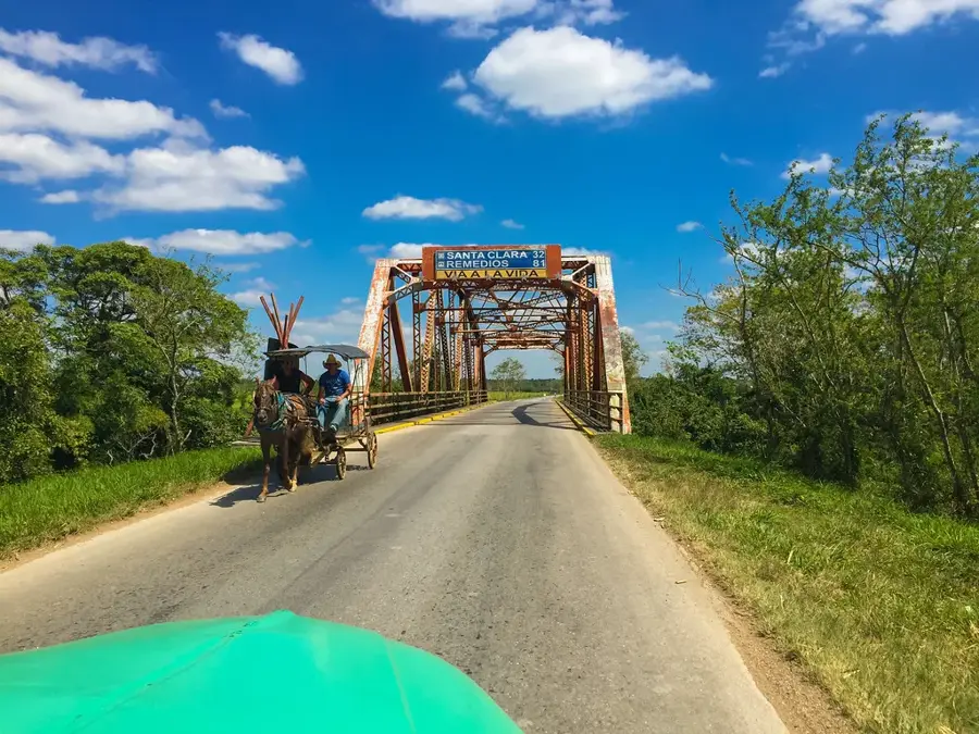
Loma del Cuchillo is a distinctive elevation in the Holguín province of eastern Cuba, known for its sharp ridges and unique geological composition. The name, which translates to 'Knife Hill,' is derived from the narrow and steep form of the ridge, resembling a blade. Geologically, the formation is part of Cuba's northeastern ophiolite zone, resulting in a soil composition rich in minerals such as nickel and chrome. This specific geology has fostered the development of a unique flora adapted to soils with high heavy metal content. The elevation provides a wide panoramic view of the surrounding valleys and serves as an important landmark in the regional topography. Significant mining areas are located nearby, which are of central importance to the province's economy. Ecologically, Loma del Cuchillo provides an important habitat for local bird species nesting in the region's remaining dry forests. Despite its proximity to industrial activities, the hill remains a destination for geological excursions and nature-loving visitors interested in the island's mineral wealth.
- Location: Cuba
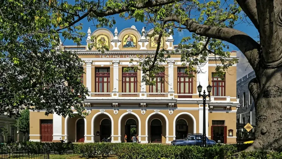
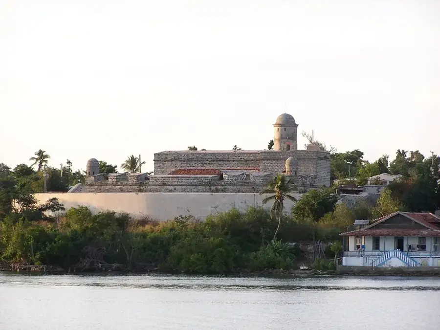
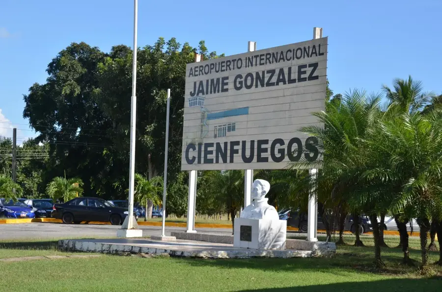
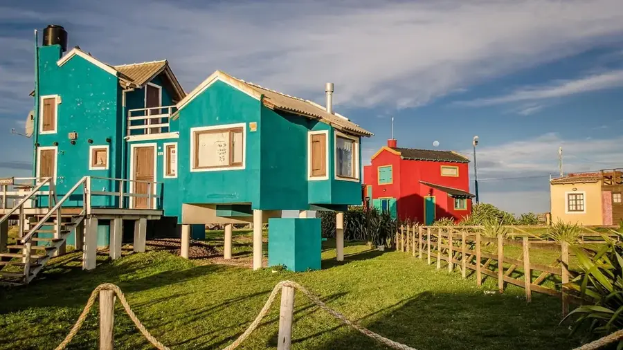
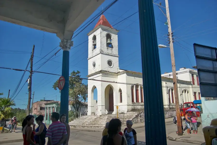
- Nearby: Cienfuegos (6 km)
Best time to visit & climate
The most pleasant time to visit is Jan, Feb, Dec.
| Jan | Feb | Mar | Apr | May | Jun | Jul | Aug | Sep | Oct | Nov | Dec | |
|---|---|---|---|---|---|---|---|---|---|---|---|---|
| Avg °C | 24 | 25 | 25 | 27 | 28 | 29 | 29 | 30 | 29 | 28 | 26 | 25 |
| Rain mm | 13 | 16 | 13 | 22 | 61 | 72 | 62 | 83 | 84 | 75 | 22 | 18 |
📋 Practical info
Geography
Facts
- Loma del Cuchillo is located within the municipality of Mayarí.
- The region is geologically part of the ophiolite complex.
- The soil contains high concentrations of iron and magnesium silicates.
- Vegetation mainly consists of dry, thorny shrubland known as 'cuabal'.
- The hill is situated approximately 25 kilometers from Nipe Bay.
- Mining activities in the area date back to the early 20th century.
Explore nearby
Notable places around
Route planner — Car & Motorhome
Where do you start? We build the route here, with stops and country notes along the way.
© OpenStreetMap contributors · OpenRouteService
Sights nearby
Frequently asked questions
What does the name Loma del Cuchillo mean?
Where is this relief point located?
What is the vegetation like on the hill?
Is the hill accessible by car?
Are there water sources there?
Loma del Cuchillo: where is it located?
Loma del Cuchillo: when is the best time to visit?
Loma del Cuchillo: why is it worth visiting?

Nearby cities
More places