Plizio Visual Lab
Athabasca River
Weather…
Water temperature…
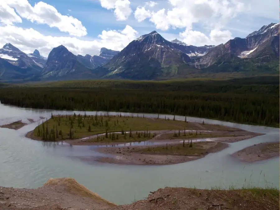
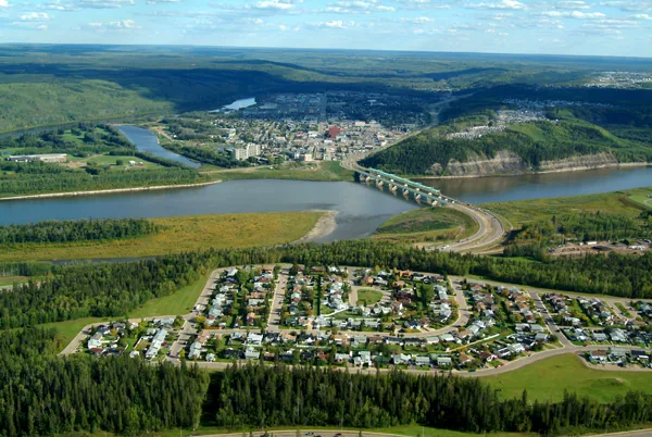
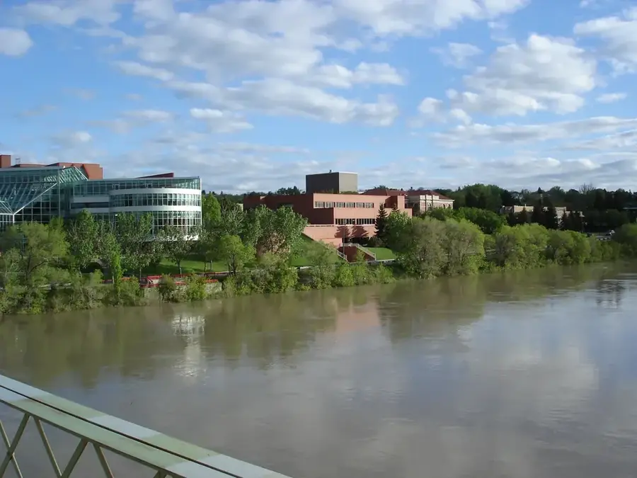
The Athabasca River is a 1,231-kilometer-long waterway in the Canadian province of Alberta, forming a vital part of the Mackenzie River system. It originates in the Columbia Icefield within Jasper National Park, specifically at the foot of the Athabasca Glacier at an elevation of approximately 1,520 meters. The river flows in a northeasterly direction across Alberta, eventually emptying into Lake Athabasca, traversing vast stretches of pristine wilderness and significant boreal forest regions. Historically, the river served as a crucial route for the fur trade and early Canadian explorers, who utilized it as a primary transportation corridor to the north. Today, the Athabasca River plays a central role in the region's ecology, providing habitat for numerous fish species and serving as a major water source for regional industries. The Athabasca Falls in the upper reaches are particularly famous, showcasing the river's erosive power as it has carved deep gorges into the local quartzite. Despite industrial activities further downstream, the upper portions of the river remain a symbol of the untouched natural beauty of the Canadian Rockies.
- Location: Canada
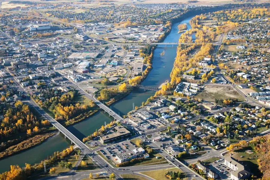
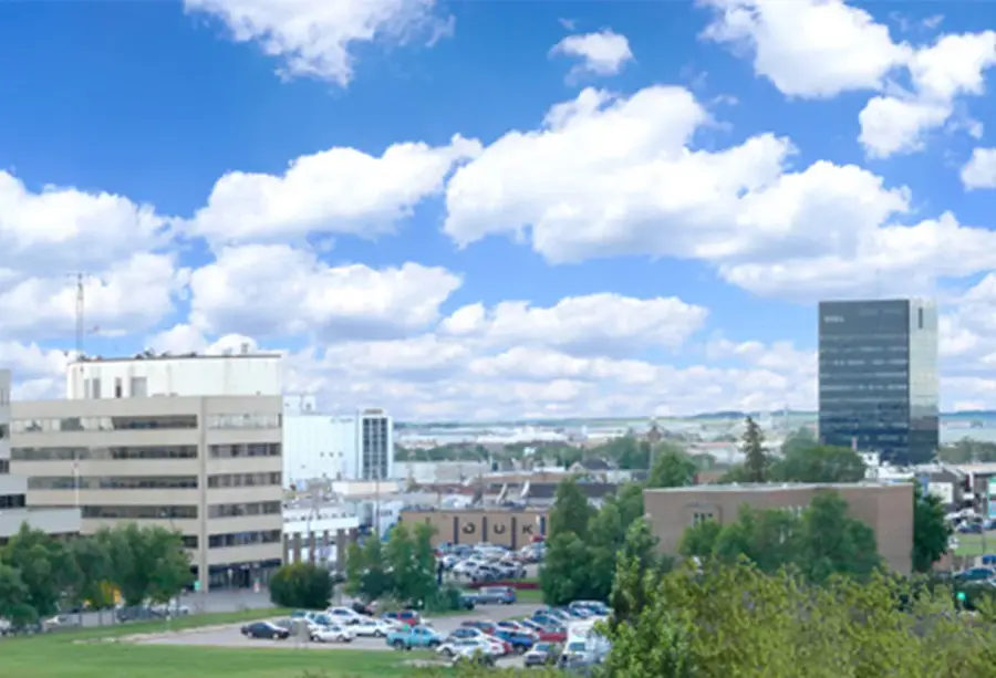
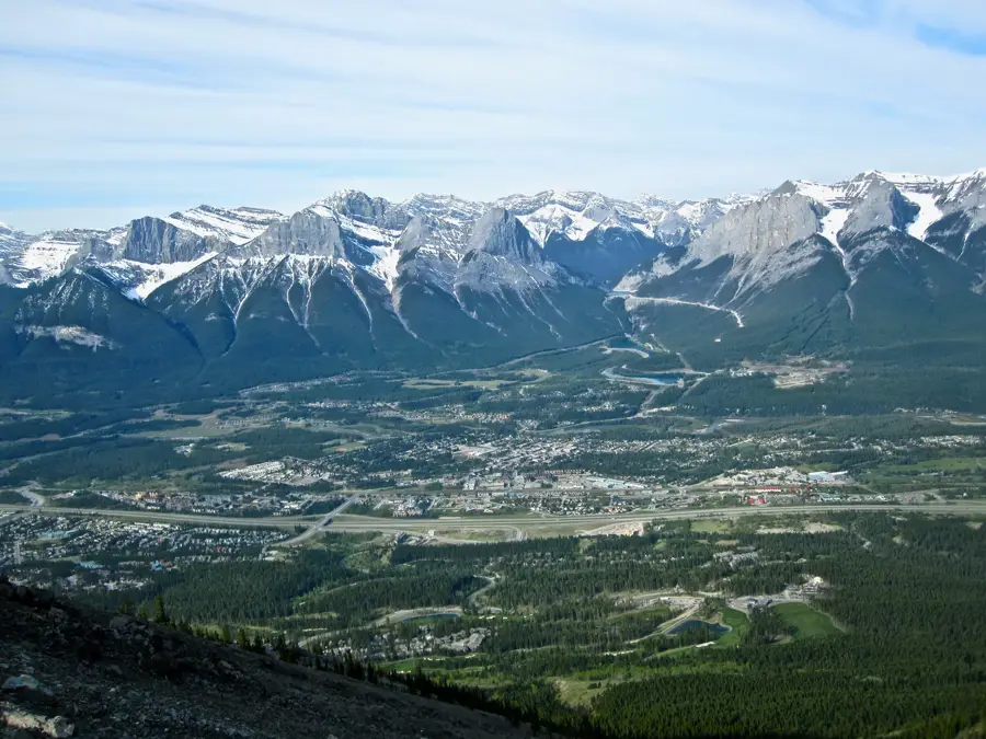
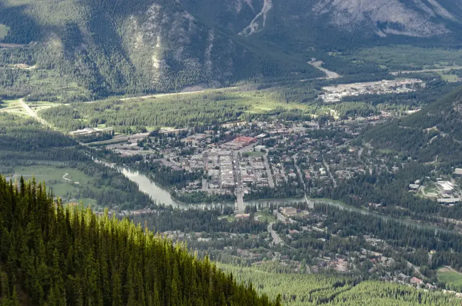
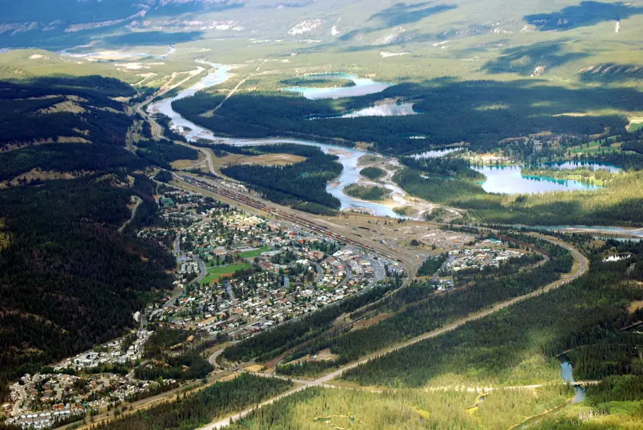
- Nearby: Fort McMurray (83 km)
Best time to visit & climate
The most pleasant time to visit is Jun–Aug.
| Jan | Feb | Mar | Apr | May | Jun | Jul | Aug | Sep | Oct | Nov | Dec | |
|---|---|---|---|---|---|---|---|---|---|---|---|---|
| Avg °C | -22 | -19 | -12 | 0 | 9 | 16 | 19 | 16 | 10 | 1 | -11 | -20 |
| Rain mm | 25 | 19 | 27 | 29 | 48 | 67 | 70 | 65 | 51 | 34 | 26 | 24 |
📋 Practical info
Geography
Facts
- The river has a total length of 1,231 kilometers.
- It originates at an elevation of approximately 1,520 meters.
- The river is part of the extensive Mackenzie River drainage basin.
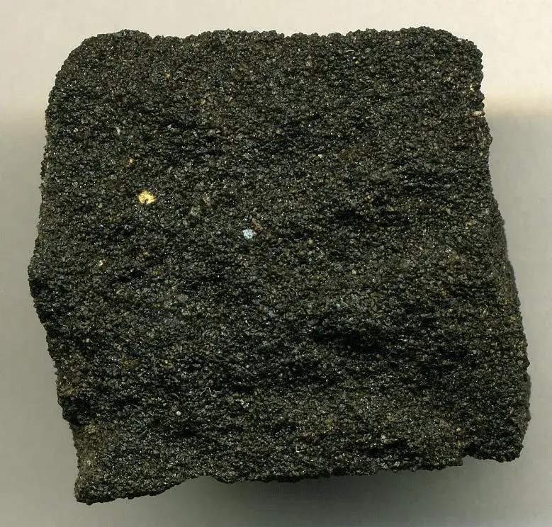
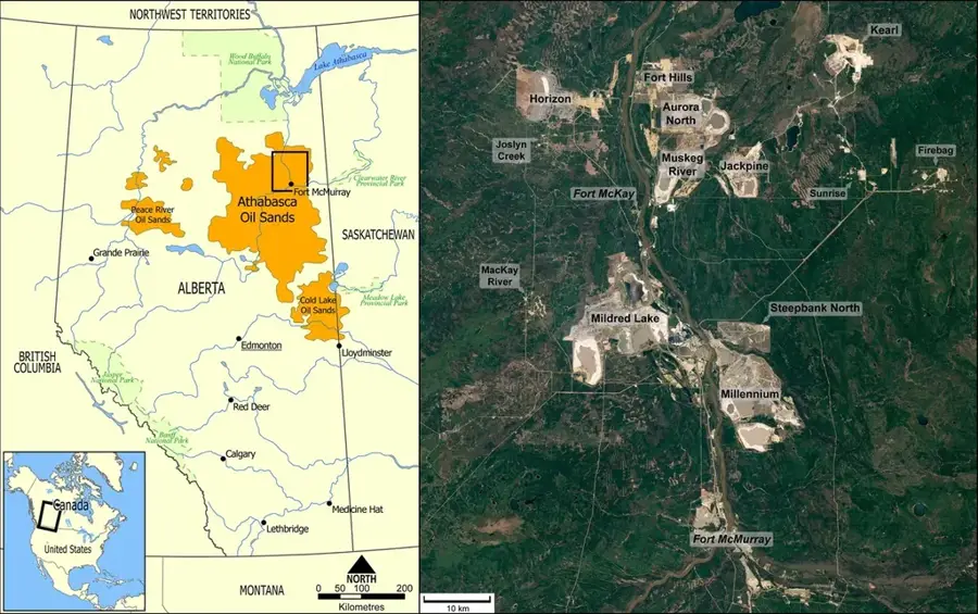
- Famous oil sands are located along the river near Fort McMurray.
- Athabasca Falls features a vertical drop of about 23 meters.
- The name is derived from the Cree language, meaning 'grass everywhere'.
Explore nearby
Notable places around
Route planner — Car & Motorhome
Where do you start? We build the route here, with stops and country notes along the way.
© OpenStreetMap contributors · OpenRouteService
Sights nearby
Frequently asked questions
Where does the Athabasca River water come from?
Can you go rafting on the river?
Are Athabasca Falls worth seeing?
How long is the river?
What fish live there?
Athabasca River: where is it located?
Athabasca River: when is the best time to visit?
Athabasca River: why is it worth visiting?

Nearby cities
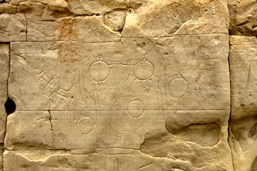
History & landmarks


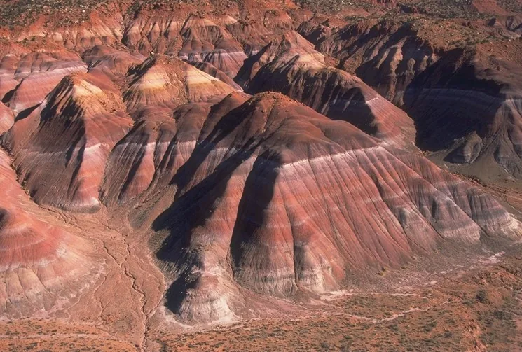
Nature

More places