Plizio Visual Lab
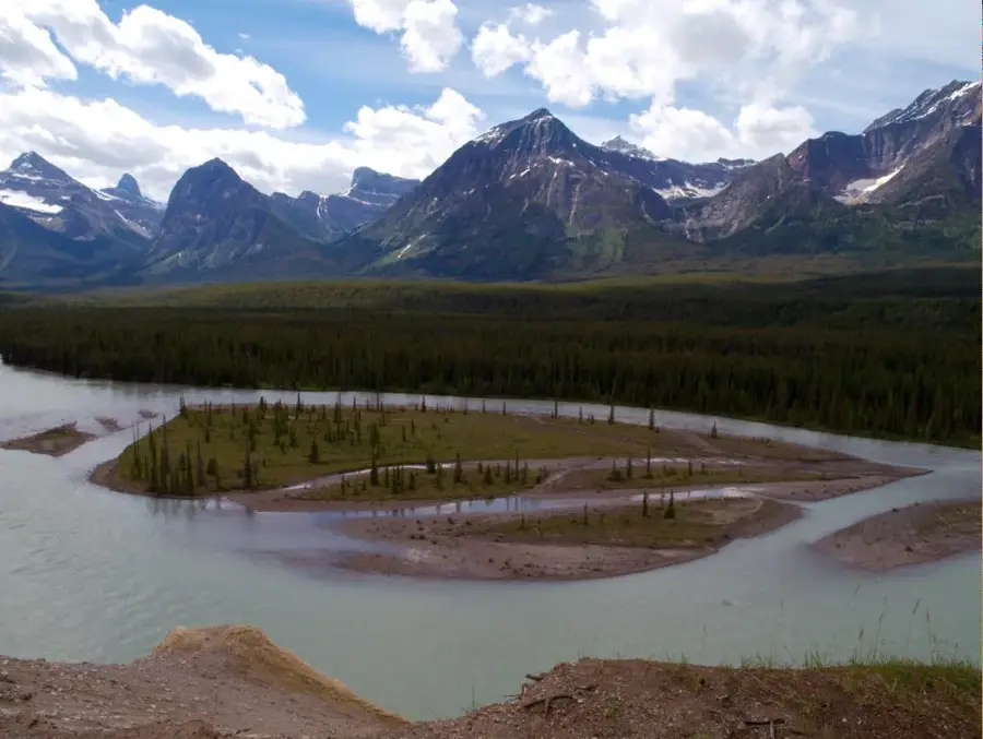
Oil Sands Pipeline Infrastructure
Weather…
Water temperature…
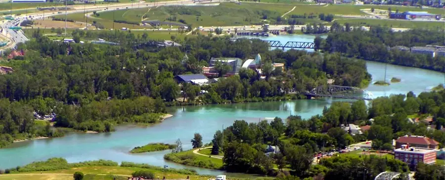
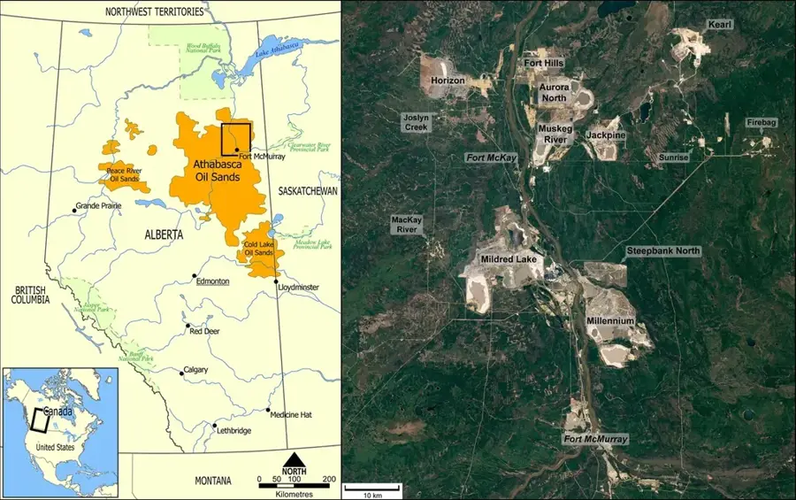
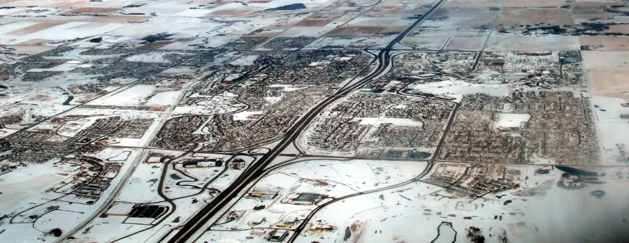
The Oil Sands Pipeline Infrastructure in Alberta constitutes one of the most complex and expansive energy networks in the world, facilitating the movement of crude bitumen from northern deposits to global markets. This vast system of over 400,000 kilometers of underground conduits connects the Athabasca, Cold Lake, and Peace River regions with major refining hubs and export terminals across North America. Key components include the Enbridge Mainline and the Trans Mountain expansion, which are vital for maintaining the flow of Canada's most significant export commodity. The infrastructure plays a critical role in the national economy, supporting thousands of specialized engineering and technical jobs while generating billions in provincial revenue. Despite its economic importance, the network is subject to intense regulatory oversight and environmental monitoring to prevent spills and manage carbon intensity. Modern advancements in fiber-optic leak detection and satellite monitoring ensure the safe operation of these high-capacity lines. This infrastructure remains the backbone of the Canadian energy sector, bridging the gap between remote extraction sites and international energy demands.
Best time to visit & climate
The most pleasant time to visit is Jun–Aug.
| Jan | Feb | Mar | Apr | May | Jun | Jul | Aug | Sep | Oct | Nov | Dec | |
|---|---|---|---|---|---|---|---|---|---|---|---|---|
| Avg °C | -13 | -12 | -5 | 3 | 10 | 15 | 18 | 17 | 11 | 3 | -5 | -12 |
| Rain mm | 21 | 17 | 26 | 41 | 52 | 82 | 81 | 50 | 38 | 30 | 24 | 19 |
📋 Practical info
Geography
Facts
- Alberta's total pipeline network spans over 400,000 kilometers underground.
- The Enbridge Mainline alone transports up to 3 million barrels of oil daily.
- Pipeline infrastructure contributes billions annually to Canada's GDP.
- Monitoring is increasingly conducted using AI and high-resolution satellites.
- The Trans Mountain pipeline connects Alberta directly to the Pacific coast.
- Canada holds the world's third-largest oil reserves after Saudi Arabia and Venezuela.
Explore nearby
Notable places around
Route planner — Car & Motorhome
Where do you start? We build the route here, with stops and country notes along the way.
© OpenStreetMap contributors · OpenRouteService
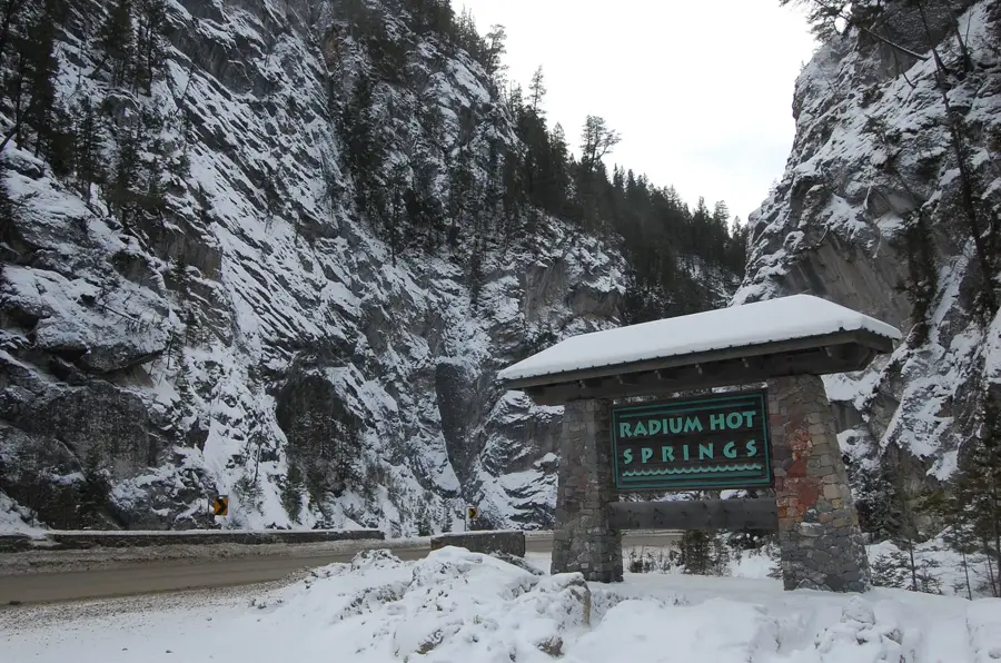
Sights nearby
Frequently asked questions
What is the oil sands pipeline infrastructure?
Can you see the pipelines?
Why are pipelines controversial?
How is pipeline safety monitored?
What role do they play in Canada's economy?
Oil Sands Pipeline Infrastructure: where is it located?
Oil Sands Pipeline Infrastructure: when is the best time to visit?
Oil Sands Pipeline Infrastructure: why is it worth visiting?

Nearby cities

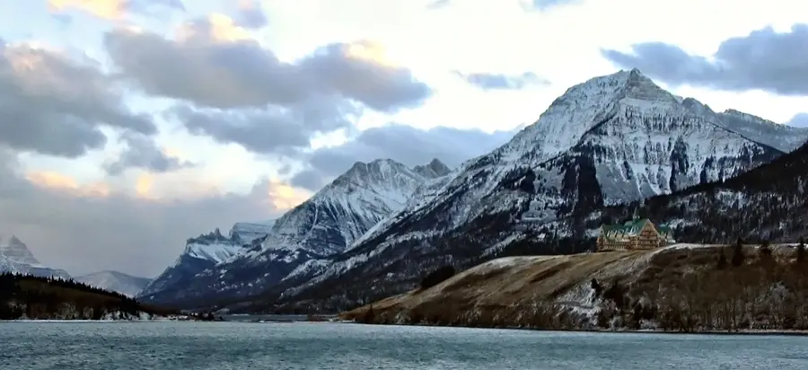
History & landmarks


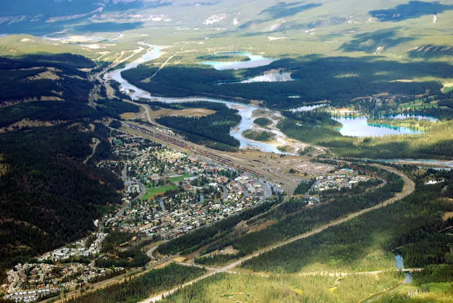
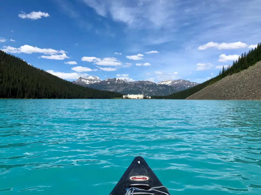
Nature

More places