Plizio Visual Lab
Peace River
Weather…
Water temperature…
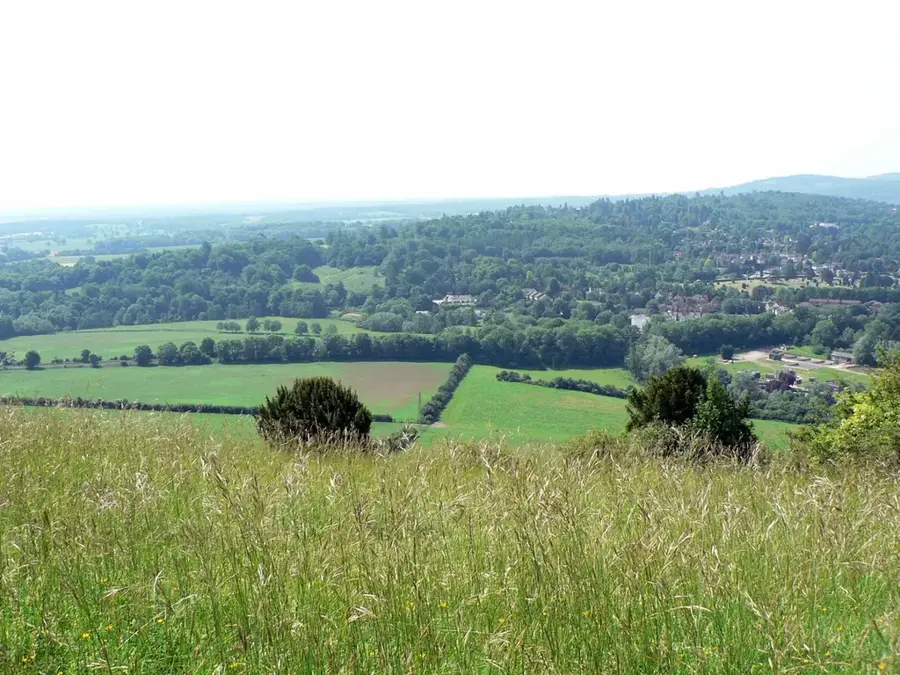
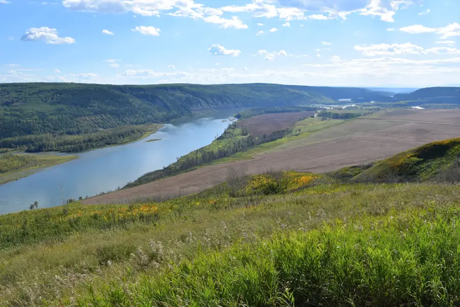
The Peace River flows for approximately 1,923 kilometers through British Columbia and Alberta in western Canada. It originates in the Rocky Mountains and eventually joins the Slave River, forming part of the extensive Mackenzie River system. Geographically, the Peace River Valley serves as a fertile corridor in an otherwise harsh northern climate, supporting significant agricultural activity. The river's name commemorates a peace treaty signed between the Dane-zaa and Cree nations in 1781, resolving a long-standing territorial dispute. Historically, the river was a vital artery for the fur trade and early European explorers, including Alexander Mackenzie in the late 18th century. In the modern era, the Peace River is a major source of hydroelectric power, though projects like the Site C dam have sparked environmental and social debates. It remains a central feature for water resources, biodiversity, and the cultural heritage of the surrounding regions.
Best time to visit & climate
The most pleasant time to visit is Jun–Aug.
| Jan | Feb | Mar | Apr | May | Jun | Jul | Aug | Sep | Oct | Nov | Dec | |
|---|---|---|---|---|---|---|---|---|---|---|---|---|
| Avg °C | -23 | -21 | -13 | -2 | 9 | 16 | 18 | 16 | 9 | 0 | -12 | -21 |
| Rain mm | 23 | 17 | 26 | 29 | 46 | 60 | 71 | 61 | 49 | 34 | 25 | 23 |
📋 Practical info
Geography
Facts
- The total length of the river is 1,923 kilometers
- It drains into the Slave River in northern Canada
- The drainage basin covers approximately 302,500 square km
- Named after the peace treaty between Cree and Dane-zaa in 1781
- Alexander Mackenzie explored the river's path in 1793
- Features the W. A. C. Bennett Dam, a massive earth-fill structure
Explore nearby
Notable places around
Route planner — Car & Motorhome
Where do you start? We build the route here, with stops and country notes along the way.
© OpenStreetMap contributors · OpenRouteService
Sights in the town Peace River (1)
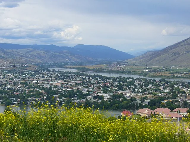
Sights nearby
Frequently asked questions
Which provinces does the Peace River flow through?
Why is it called 'Peace River'?
Are there dams on the river?
Is the valley used for agriculture?
Can you go paddling on the river?
Peace River: where is it located?
Peace River: when is the best time to visit?
Peace River: why is it worth visiting?

Nearby cities