Plizio Visual Lab
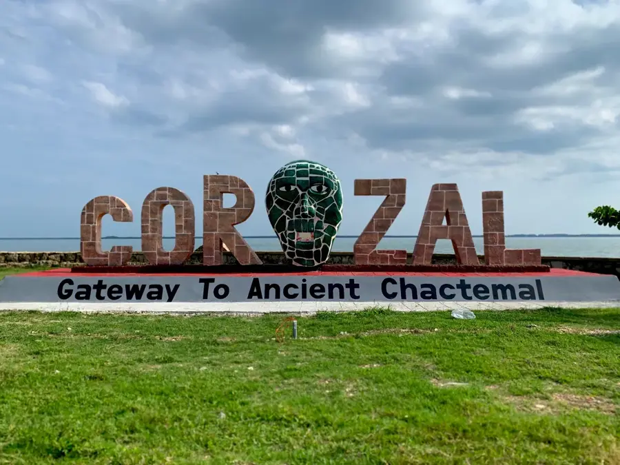
San Victor (Corozal)

ℹ️Practical info — San Victor (Corozal)
▾
🌤 Weather — 5 days
📍 Nearby
Sights nearby
💡 Tips
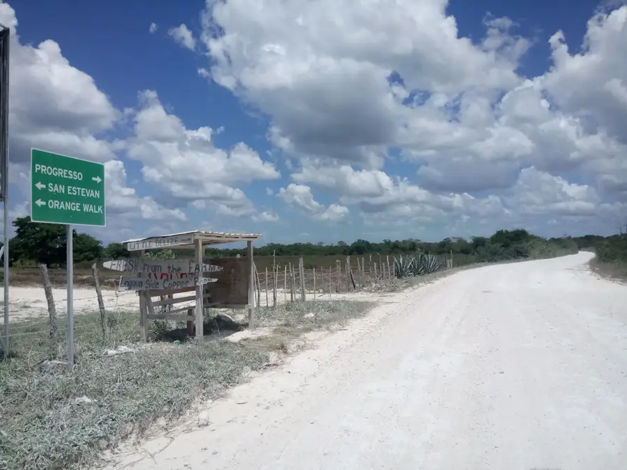
- The village is located very close to the Mexican border along the Rio Hondo.
- Watch out for slow-moving sugarcane trucks on the roads during the harvest season.
- Spanish is the dominant language spoken in this farming community.
- Cell phone service may switch to a Mexican network near the river, so keep an eye out for roaming charges.
🍽 Food
A traditional tangy onion and chicken soup that is a local favorite.
Look for locals selling homemade tamales on the weekends.
Thanks to the Mexican influence, you can often find excellent, freshly made ceviche here.
🛍 Shopping · 🧘 Quiet spots
Pick up cold drinks and simple snacks at small, family-run convenience shops.
You may find villagers selling fresh vegetables and fruits outside their homes.
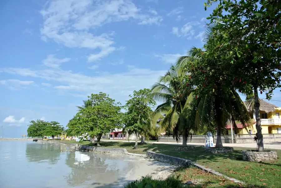
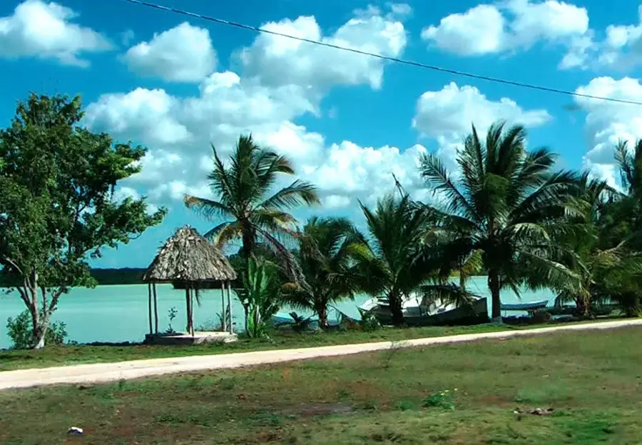
Enjoy the peaceful views across the river that forms the natural border with Mexico.
The expansive farming fields surrounding the village offer a very quiet, rural atmosphere.
Water temperature…
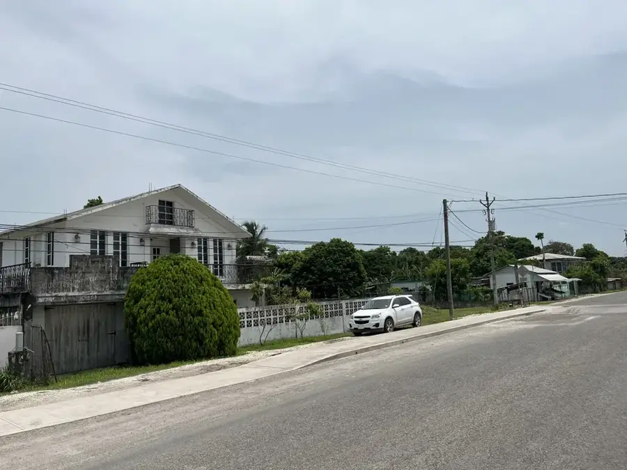
San Victor is a traditional agricultural village in the Corozal District of northern Belize, situated within the region's fertile plains. The settlement is characteristic of the rural landscape of the north, where daily life revolves almost entirely around the cultivation of sugarcane. Geographically, San Victor is located in an area with limestone-rich soils, which are excellent for farming but also hide archaeological traces of the ancient Maya civilization. The community is predominantly of Mestizo descent, maintaining lively cultural traditions through religious festivals and local culinary practices. Despite its modest size, the village plays a vital role in the regional sugar industry, with local farmers contributing a significant portion of the harvest to the national processing facilities. The infrastructure is basic yet functional, with the primary school and community center serving as the social heart of the village. San Victor features an authentic glimpse into the peaceful and hardworking lifestyle of the northern Belizean countryside.
- Location: Belize
- Nearby: Maya Mopan (5 km)
- Population: ~2.056 (2018)
Best time to visit & climate
The most pleasant time to visit is Jan–Mar.
| Jan | Feb | Mar | Apr | May | Jun | Jul | Aug | Sep | Oct | Nov | Dec | |
|---|---|---|---|---|---|---|---|---|---|---|---|---|
| Avg °C | 23 | 25 | 26 | 28 | 29 | 27 | 27 | 27 | 27 | 26 | 24 | 23 |
| Rain mm | 83 | 46 | 38 | 35 | 121 | 222 | 137 | 174 | 190 | 230 | 146 | 103 |
Geography
Facts
- San Victor is located in the northernmost Corozal District of Belize.
- Sugarcane farming is the primary economic driver for the community.
- The residents are mainly of Mestizo heritage and speak Spanish and English.
- The surrounding area is dotted with unexcavated Maya mounds and sites.
- San Victor contributes to the sugarcane quotas of the Tower Hill mill.
- The village maintains a quiet, rural atmosphere focused on communal farming.
Explore nearby
Notable places around
Route planner — Car & Motorhome
Where do you start? We build the route here, with stops and country notes along the way.
© OpenStreetMap contributors · OpenRouteService
Sights in the town San Victor (Corozal) (1)
Frequently asked questions
Where is San Victor located exactly?
What is the main crop of the region?
Are there historical sites in San Victor?
What language is spoken there?
How to get there from Corozal Town?
San Victor (Corozal): where is it located?
San Victor (Corozal): when is the best time to visit?
San Victor (Corozal): why is it worth visiting?

Nearby cities