Plizio Visual Lab
Northern Lowlands
Weather…
Water temperature…
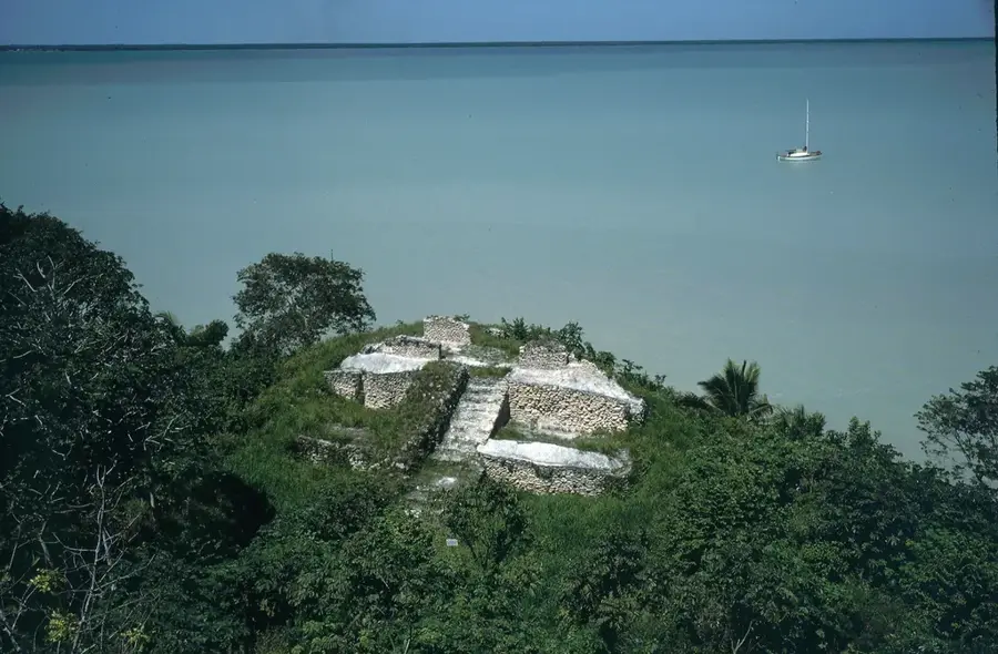
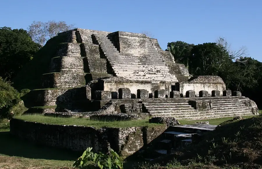
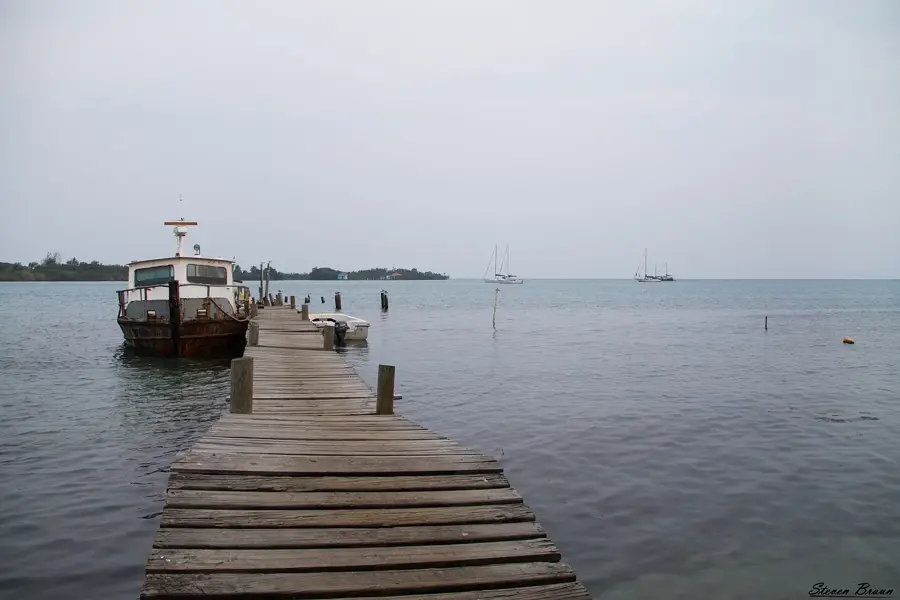
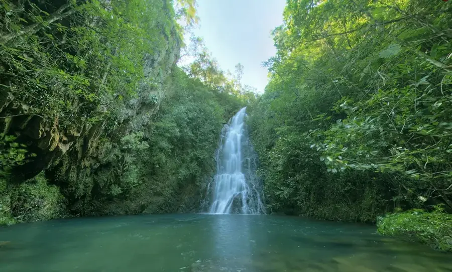
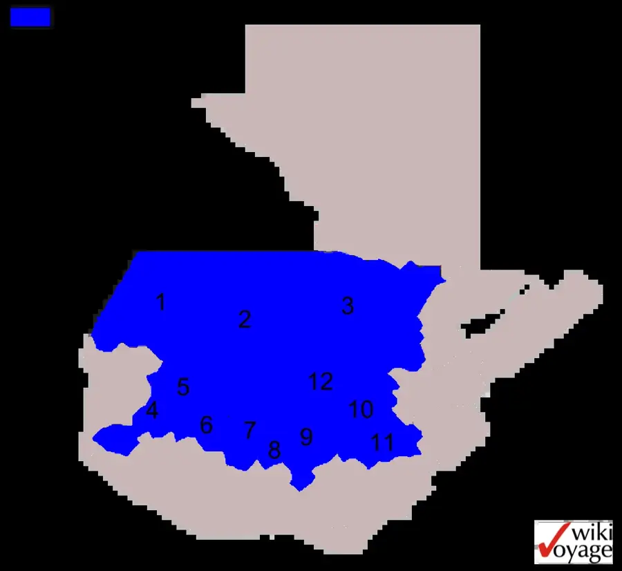
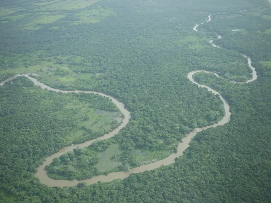
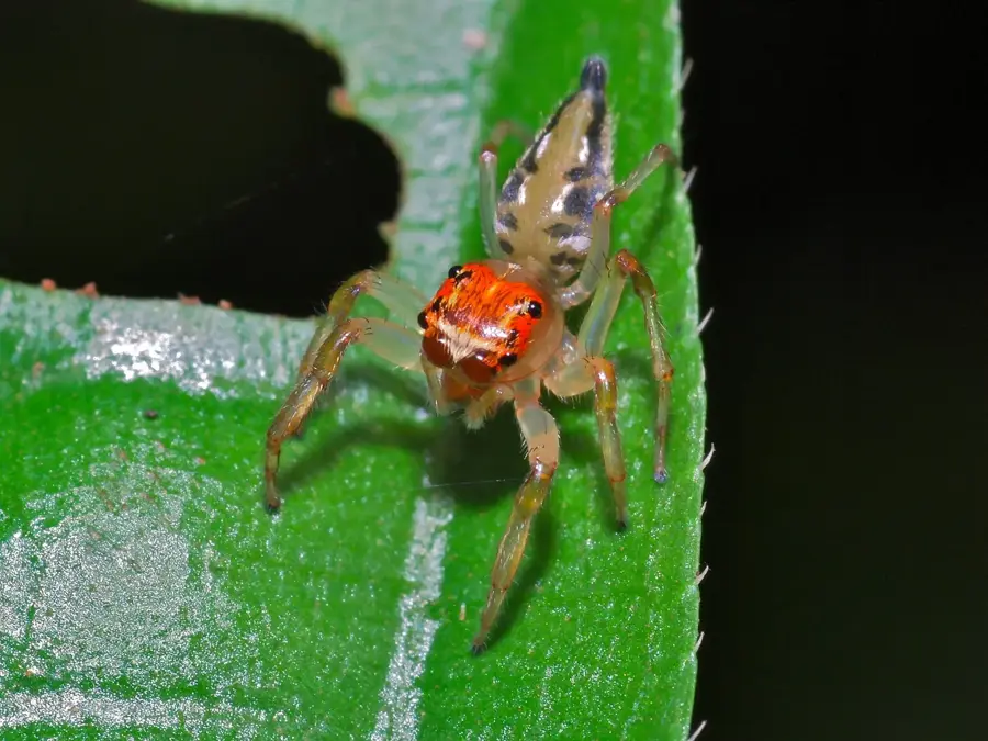
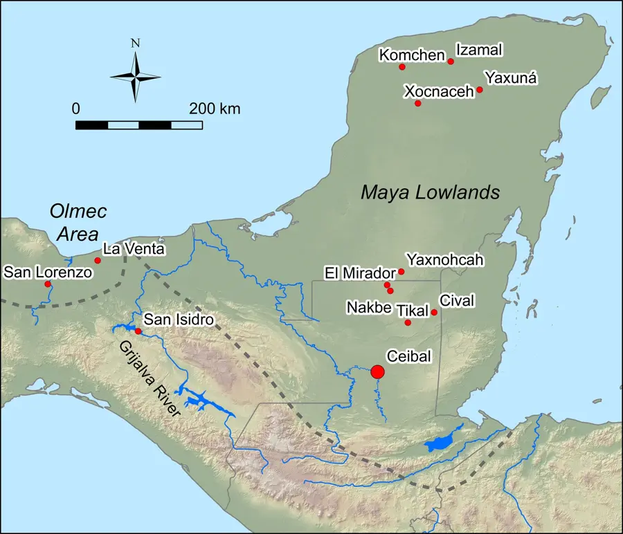
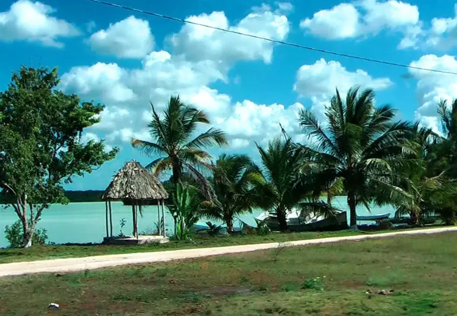
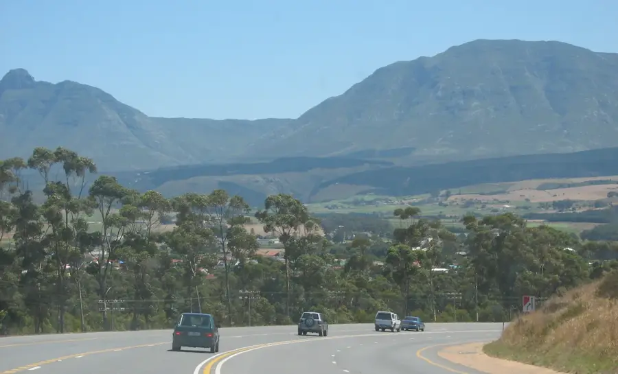
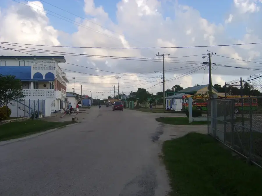
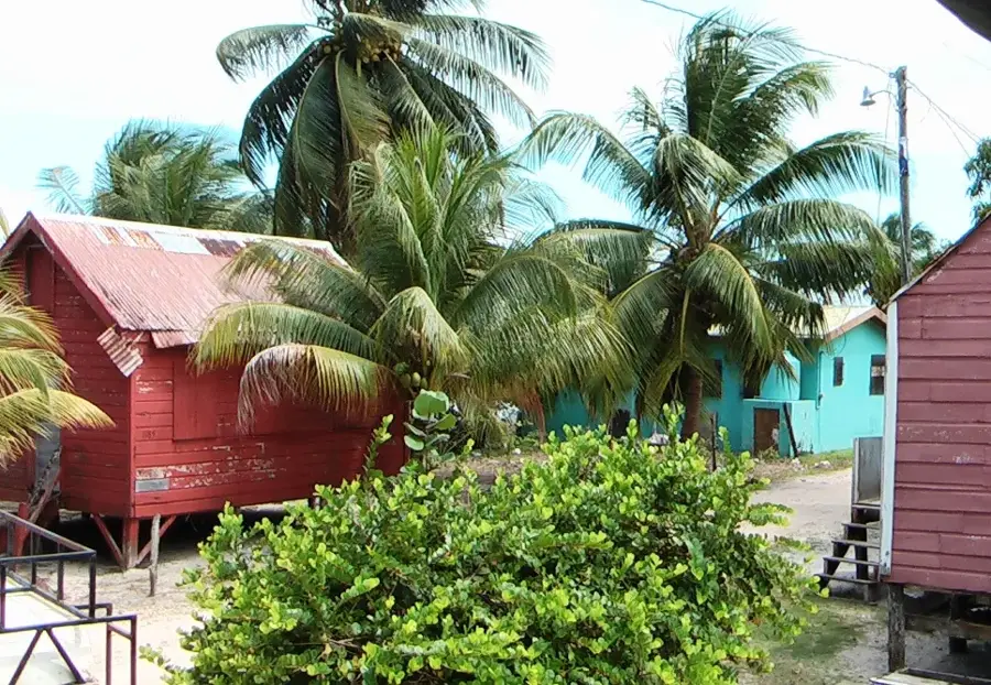
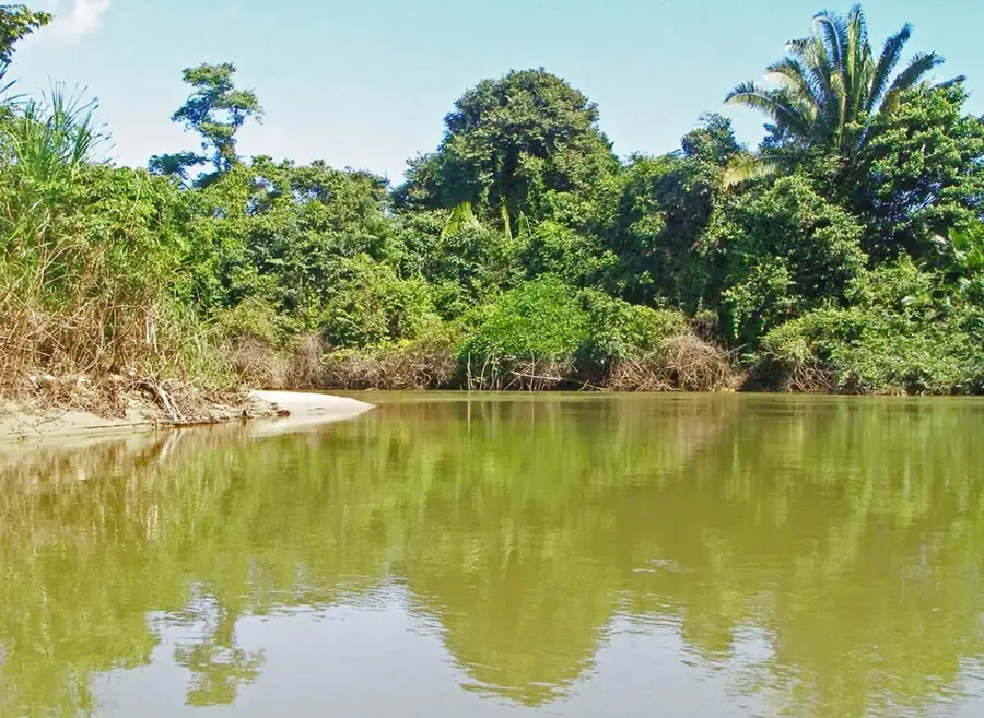
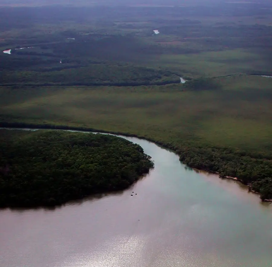
The Northern Lowlands of Belize encompass the Corozal and Orange Walk Districts, presenting a landscape vastly different from the mountainous south. This region is a flat to gently undulating plain, characterized by numerous rivers, lagoons, and wetlands, including major water bodies like the New River and Laguna de On. The geology is dominated by a limestone shelf, resulting in fertile but often poorly drained soils that are well-suited for growing sugar cane, the region's primary agricultural crop. This area was a heartland of the ancient Maya civilization, and it is rich with archaeological sites such as Lamanai and Cerros, many of which were strategically located along the waterways. The lowlands' mosaic of forests, wetlands, and agricultural fields supports a diverse array of wildlife, particularly wading birds and crocodiles.
- Location: Belize
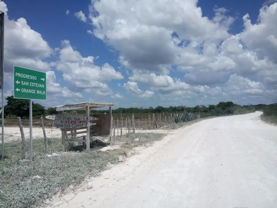
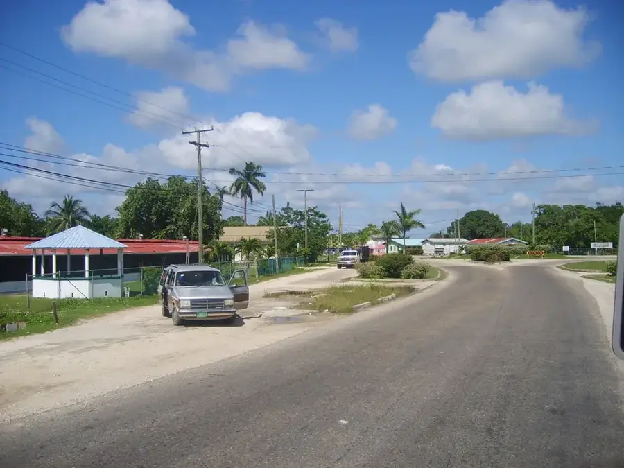
- Top sights: Little Belize · Progreso, Belize
- Nearby: Biscayne (4 km)
Best time to visit & climate
The most pleasant time to visit is Jan–Mar.
| Jan | Feb | Mar | Apr | May | Jun | Jul | Aug | Sep | Oct | Nov | Dec | |
|---|---|---|---|---|---|---|---|---|---|---|---|---|
| Avg °C | 23 | 25 | 26 | 28 | 29 | 27 | 27 | 27 | 27 | 26 | 24 | 23 |
| Rain mm | 83 | 46 | 38 | 35 | 121 | 222 | 137 | 174 | 190 | 230 | 146 | 103 |
📋 Practical info
Geography
Explore nearby
Notable places around
Route planner — Car & Motorhome
Where do you start? We build the route here, with stops and country notes along the way.
© OpenStreetMap contributors · OpenRouteService
Sights in the town Northern Lowlands (2)
Sights nearby
Frequently asked questions
What are the Northern Lowlands?
What crop dominates here?
Are there significant lagoons there?
What animals can be seen in the lowlands?
Are there ancient Maya sites there?
Northern Lowlands: where is it located?
Northern Lowlands: what is there to see?
Northern Lowlands: when is the best time to visit?
Northern Lowlands: why is it worth visiting?

Nearby cities
Nature
More places