Plizio Visual Lab
Georgeville
ℹ️Practical info — Georgeville
▾
🌤 Weather — 5 days
📍 Nearby
Sights nearby
💡 Tips
- Carry cash in Belize dollars, as card machines are rare in smaller highway villages.
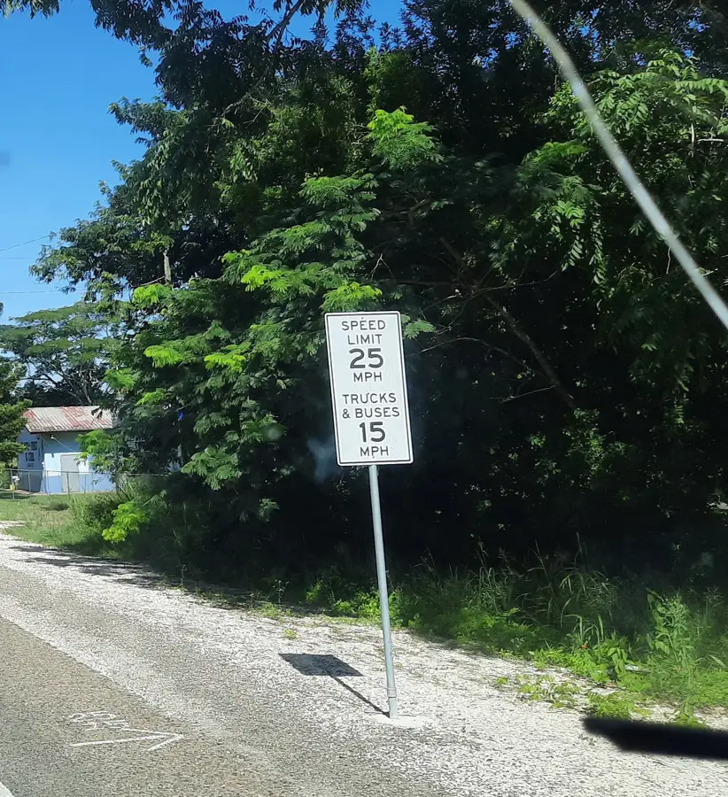
- Watch out for the 'sleeping policemen' (speed bumps) when driving on the George Price Highway.
- Use it as a quiet base for exploring the Cayo District's ruins and nature reserves.
- Stop at roadside food stalls for the most authentic local snacks.
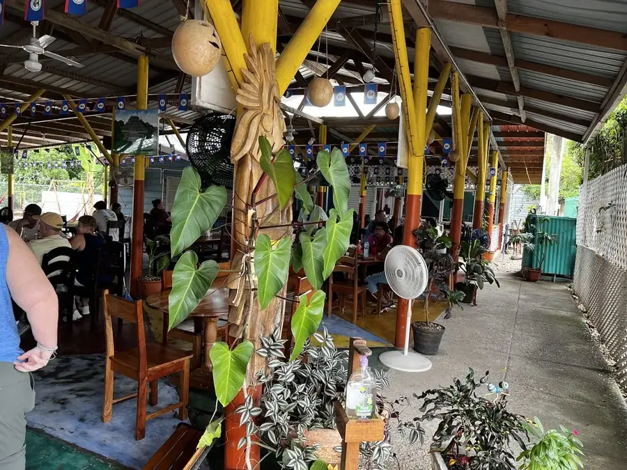
🍽 Food
The classic Belizean staple, usually served with stewed chicken and potato salad at local diners.
Fluffy deep-fried dough pieces, well-suited for a hearty breakfast at small roadside stalls.
Look for the smoke along the highway on weekends for excellent grilled chicken and pork.
🛍 Shopping · 🧘 Quiet spots
Buy fresh tropical fruits directly from local farmers along the highway.
Keep an eye out for small stalls selling hand-carved mahogany and local wood items.
Explore the smaller paths leading away from the highway into the lush surrounding greenery.
A short drive away, this is a serene spot for a peaceful dip and nature watching.
Water temperature…
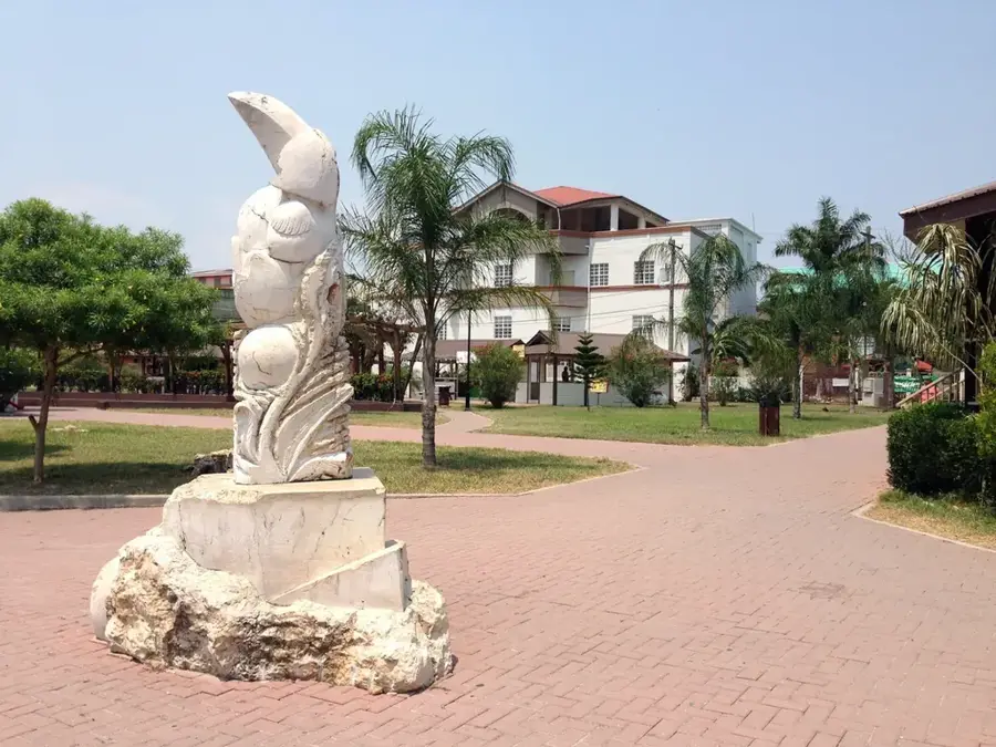
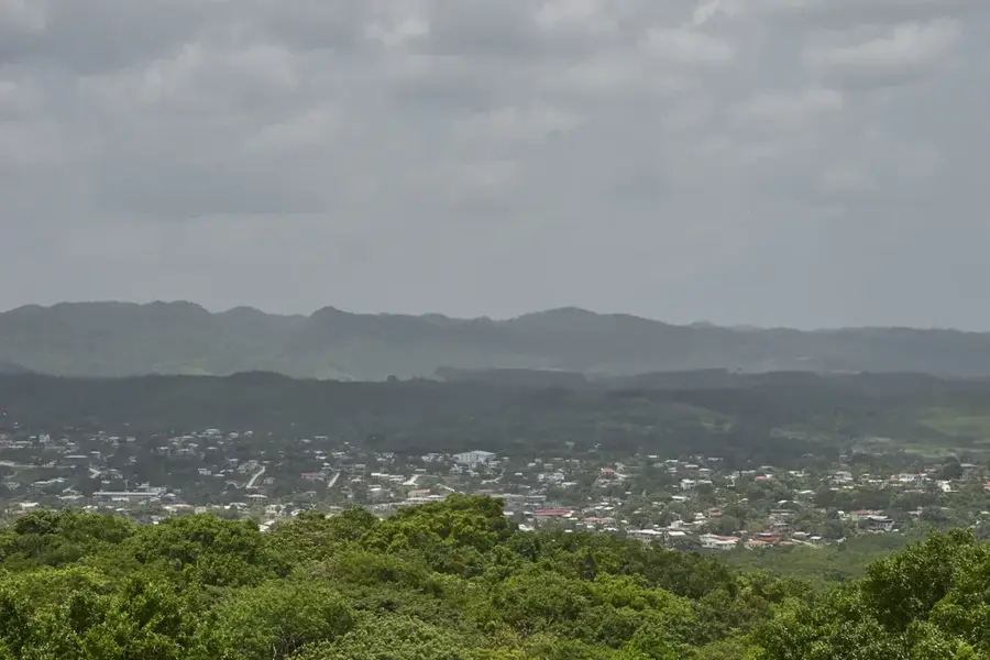
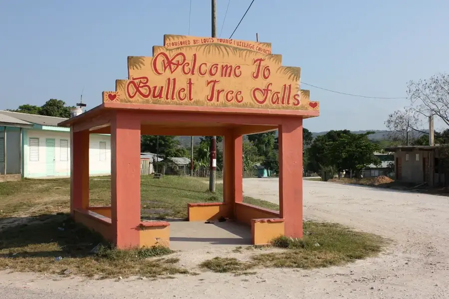
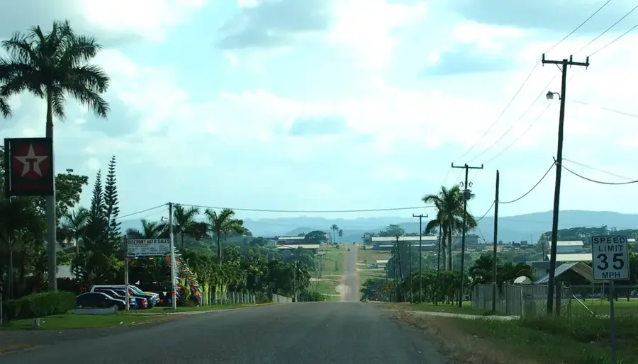
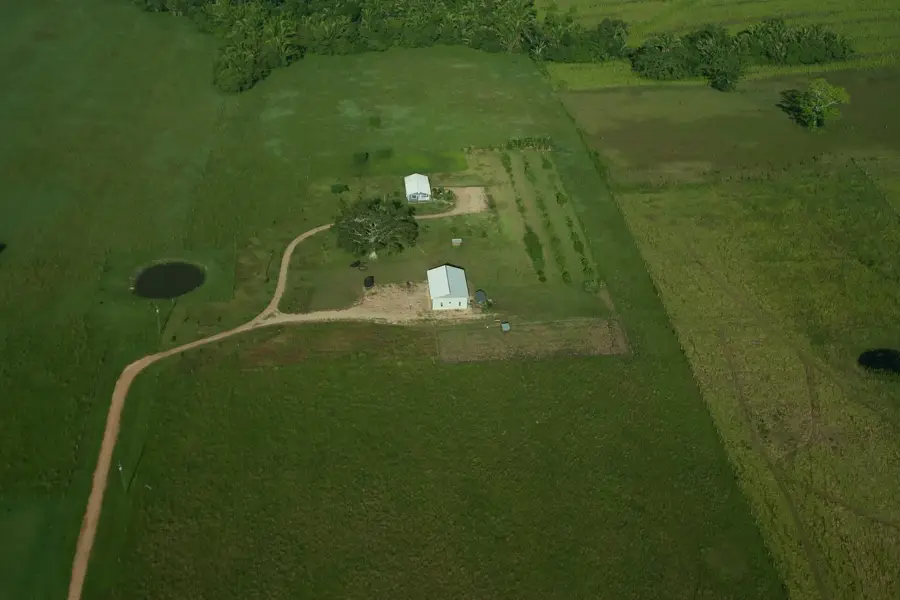
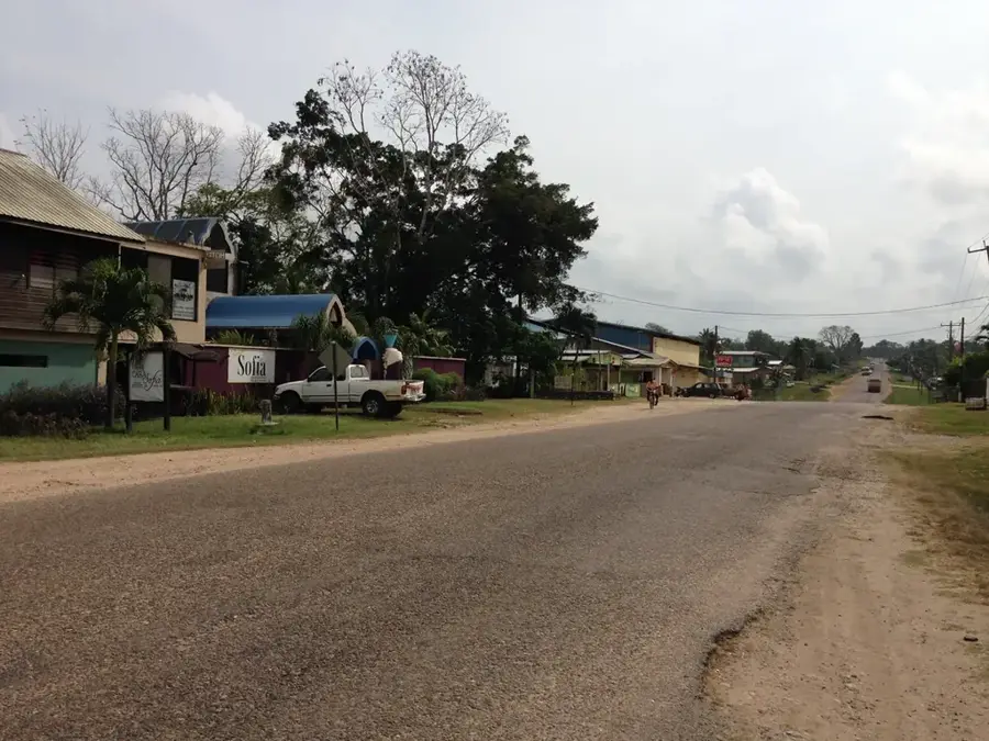
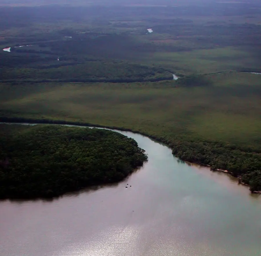
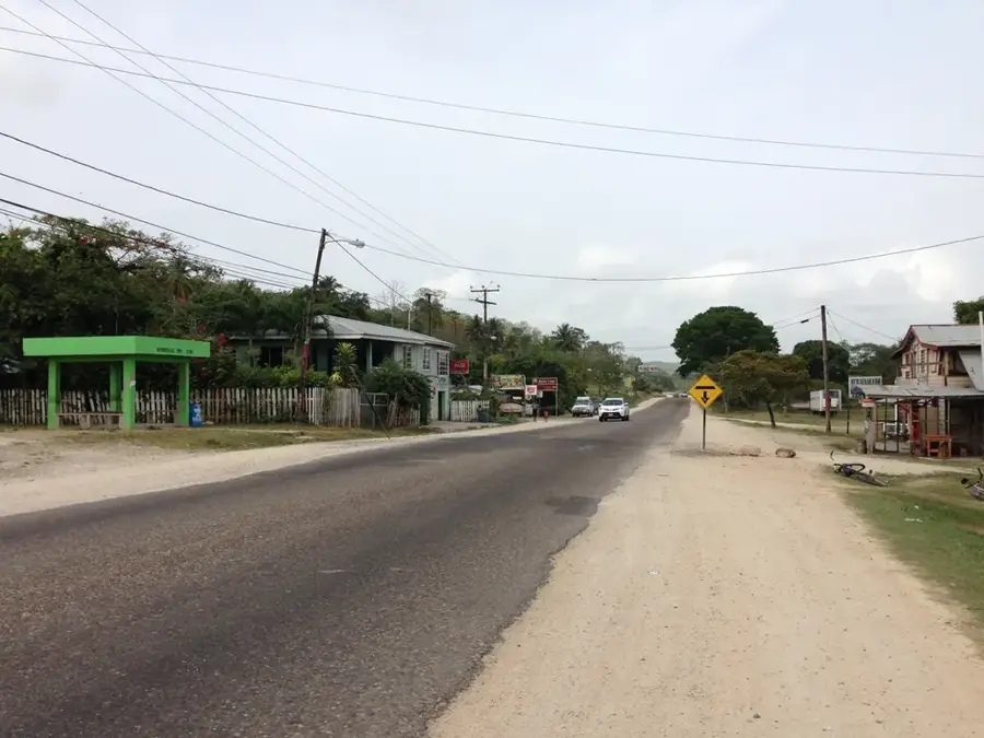
Georgeville is a spirited village in the Cayo District, situated on the George Price Highway between Belmopan and San Ignacio. The settlement is famously known as the gateway to the Mountain Pine Ridge Forest Reserve, one of the most ecologically significant regions in Belize. Historically, Georgeville grew from a cluster of farms and logging settlements that benefited from the development of Western Belize in the 20th century. The geography of the area marks the transition from the flat river valleys to the rugged granite foothills of the Maya Mountains, giving the landscape a distinct visual variety. The population is multi-ethnic, primarily composed of Mestizos and Creoles who engage in agriculture, tourism, and trade. Georgeville provides essential services for travelers and serves as a strategic starting point for excursions to the Barton Creek Caves and the Caracol Maya ruins. The community is characterized by its hospitality and its close connection to the natural environment, making Georgeville an attractive stop for ecotourists.
- Location: Belize
- Nearby: Santa Elena (Toledo) (4 km)
- Population: ~953 (2025)
Best time to visit & climate
The most pleasant time to visit is Jan–Mar.
| Jan | Feb | Mar | Apr | May | Jun | Jul | Aug | Sep | Oct | Nov | Dec | |
|---|---|---|---|---|---|---|---|---|---|---|---|---|
| Avg °C | 21 | 22 | 24 | 26 | 26 | 25 | 25 | 25 | 25 | 24 | 22 | 22 |
| Rain mm | 110 | 66 | 58 | 40 | 127 | 240 | 175 | 197 | 225 | 251 | 200 | 137 |
Geography
Facts
- Georgeville is located about 10 kilometers east of San Ignacio.
- The village is the primary access route to the Chiquibul Road.
- The population is estimated to be around 900 inhabitants.
- Georgeville sits at an elevation of approximately 80 meters above sea level.
- The village is a hub for local timber and furniture making.
- The community is located in close proximity to Barton Creek.
Explore nearby
Notable places around
Route planner — Car & Motorhome
Where do you start? We build the route here, with stops and country notes along the way.
© OpenStreetMap contributors · OpenRouteService
Frequently asked questions
Why is Georgeville important for travelers?
Are there shops in Georgeville?
Can you stay overnight in Georgeville?
How far is it to the Caracol ruins?
Is there public transportation there?
Georgeville: where is it located?
Georgeville: when is the best time to visit?
Georgeville: why is it worth visiting?

Nearby cities