Plizio Visual Lab
Port of Spain Port
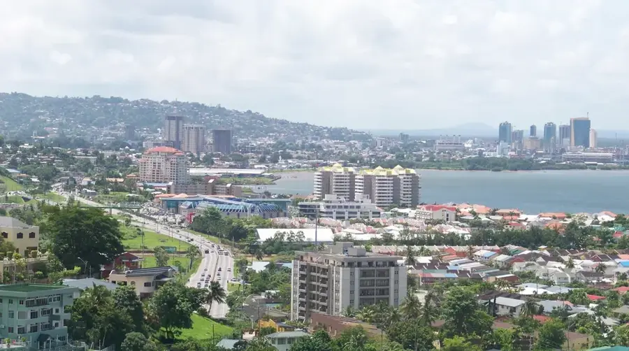
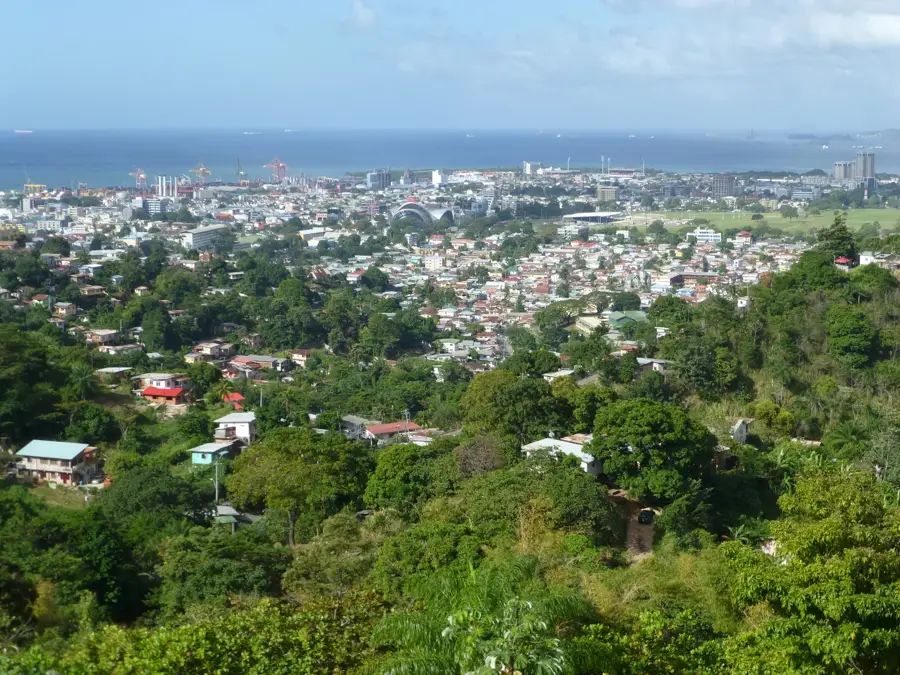
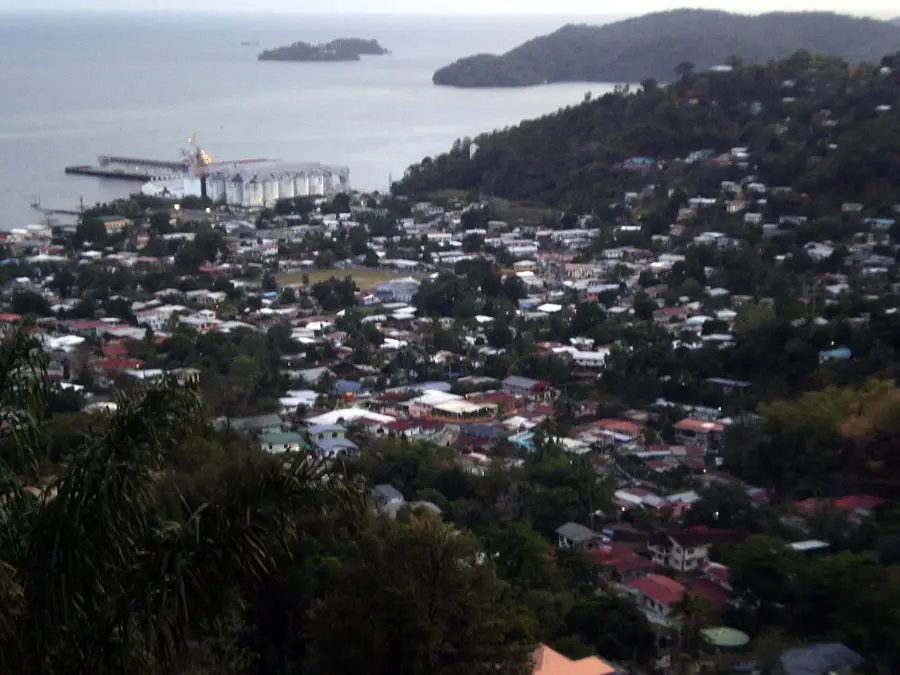
The Port of Port of Spain serves as the primary maritime gateway for Trinidad and Tobago, strategically located on the Gulf of Paria on Trinidad's western coast. As a central hub for containerized cargo, it handles the vast majority of consumer goods and industrial imports for the entire nation. The port's history traces back to the Spanish colonial era, but its modern layout is the result of massive 20th-century expansions under British rule and post-independence development. Beyond freight, the port houses a dedicated cruise ship terminal and the home base for the high-speed passenger ferries linking Trinidad with its sister island, Tobago. Its infrastructure features specialized berths for bulk, container, and general cargo, supported by modern ship-to-shore gantry cranes. Economically, the port is a vital driver, securing thousands of jobs in the logistics and service sectors. Its sheltered position within the gulf provides a safe harbor for vessels against the rough conditions of the open Atlantic Ocean.
Explore on the map
How well do you know Trinidad and Tobago?
Find cities, landscapes and regions in 10 varied challenges on the interactive map.
Your journey, your memory
A postcard from Port of Spain Port
Turn your own photo into a personal postcard with a local stamp. Free and no sign-up required.
Create a postcard- Location: Trinidad and Tobago
- Highlights: Port of Spain International Waterfront Centre · Hyatt Regency Trinidad and Tobago · National Trust of Trinidad and Tobago
- Nearby: Barataria (5 km)
Best time to visit & climate
The most pleasant time to visit is Feb–Apr.
| Jan | Feb | Mar | Apr | May | Jun | Jul | Aug | Sep | Oct | Nov | Dec | |
|---|---|---|---|---|---|---|---|---|---|---|---|---|
| Avg °C | 26 | 26 | 27 | 28 | 28 | 27 | 27 | 27 | 27 | 27 | 27 | 26 |
| Rain mm | 100 | 61 | 52 | 56 | 117 | 222 | 202 | 202 | 141 | 176 | 213 | 178 |
📋 Practical info
Geography
Facts
- Established in 1939 (Port Authority)
- Handles over 350,000 TEUs annually
- Features 8 main deep-water berths
- Home to the Inter-Island Ferry Terminal
- Maximum draft of approximately 12 meters
- Capital city's primary cruise ship terminal
Explore nearby
Notable places around
Route planner — Car & Motorhome
Where do you start? We build the route here, with stops and country notes along the way.
© OpenStreetMap contributors · OpenRouteService
Sights in the town Port of Spain Port (3)
Sights nearby
Frequently asked questions
What is the main function of the Port of Spain port?
Can I visit the port as a tourist?
How do I get to the port?
Are there attractions nearby?
What is the best time of day for a walk near the port?
Port of Spain Port: where is it located?
Port of Spain Port: what is there to see?
Port of Spain Port: when is the best time to visit?
Port of Spain Port: why is it worth visiting?
Nearby cities

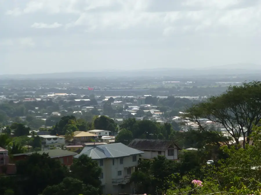
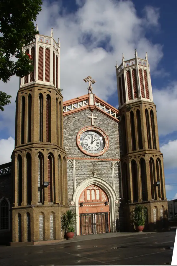
History & landmarks
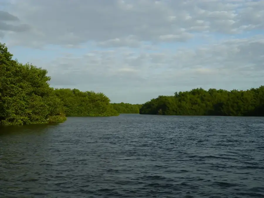
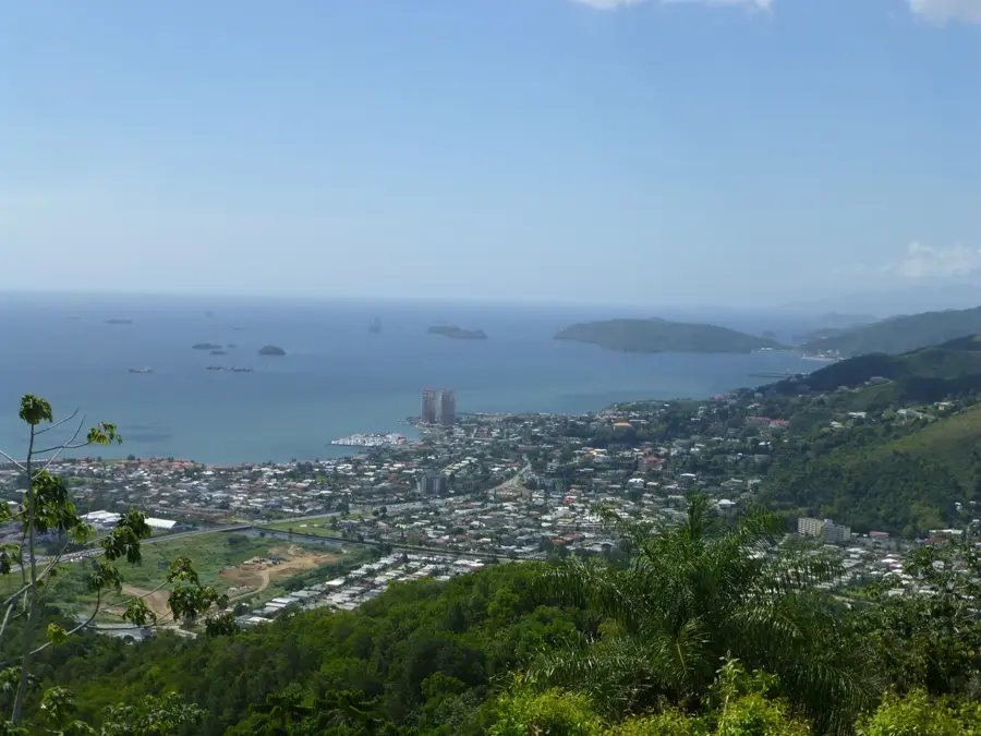


Nature
More places