Plizio Visual Lab
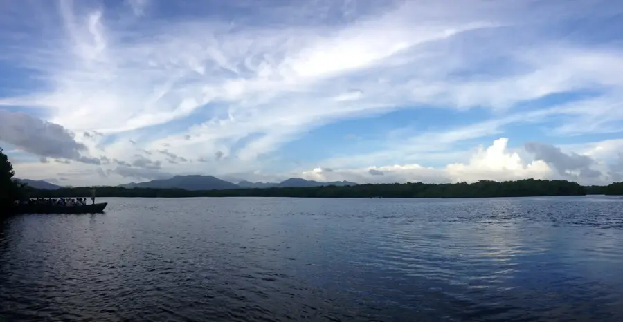
Caparo River
Weather…
Water temperature…
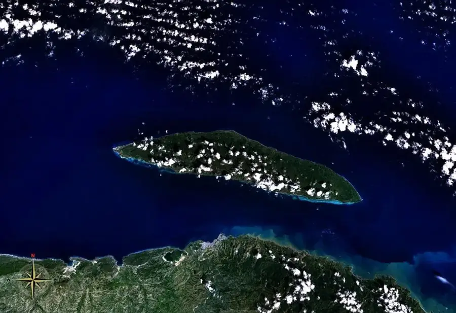
The Caparo River is a prominent watercourse in central Trinidad, flowing through the fertile Caparo Valley before eventually emptying into the Gulf of Paria. Geographically, the river drains significant portions of the Central Range and is characterized by its winding course and pronounced meanders. Historically, the river valley was instrumental in the island's agricultural development, particularly during the boom of cocoa and coffee production in the late 19th and early 20th centuries. However, the river is also notorious for its propensity for severe flooding, which periodically impacts nearby farming communities and infrastructure. To mitigate these risks, the Mamoral Dam was constructed to help regulate water levels during heavy rainfall. Despite human interventions, the riverbanks maintain essential riparian ecosystems that support various freshwater fish and local bird species. The area around the Caparo River is also historically significant for its connection to the former Caparo Valley Railway, which once transported the region's agricultural produce to markets.
- Location: Trinidad and Tobago
- Nearby: Preysal (4 km)
Best time to visit & climate
The most pleasant time to visit is Feb–Apr.
| Jan | Feb | Mar | Apr | May | Jun | Jul | Aug | Sep | Oct | Nov | Dec | |
|---|---|---|---|---|---|---|---|---|---|---|---|---|
| Avg °C | 26 | 26 | 27 | 28 | 28 | 27 | 27 | 27 | 27 | 27 | 27 | 26 |
| Rain mm | 100 | 61 | 52 | 56 | 117 | 222 | 202 | 202 | 141 | 176 | 213 | 178 |
📋 Practical info
Geography
Facts
- The Caparo River originates in the highlands of the Central Range.
- The river is noted for its highly sinuous path across the central plains.
- The Mamoral Dam is a key structural measure used to control river flooding.
- The valley was a premier site for cocoa estates during the late 19th century.
- The Caparo Valley Railway was established in 1880 to serve the river's estates.
- The river's mouth contributes to the wetland ecosystems of the Gulf of Paria.
Explore nearby
Notable places around
Route planner — Car & Motorhome
Where do you start? We build the route here, with stops and country notes along the way.
© OpenStreetMap contributors · OpenRouteService
Sights nearby
Frequently asked questions
Can you explore the Caparo River on your own?
What is the main feature of the river?
Do you need waterproof clothing?
Is the river safe for canoeing?
What is the best time of day?
Caparo River: where is it located?
Caparo River: when is the best time to visit?
Caparo River: why is it worth visiting?
Nearby cities


Nature
More places