Plizio Visual Lab
Sarmizegetusa Regia
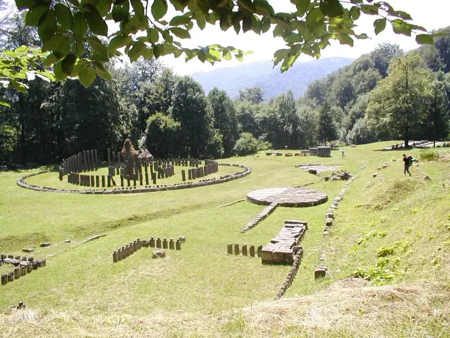
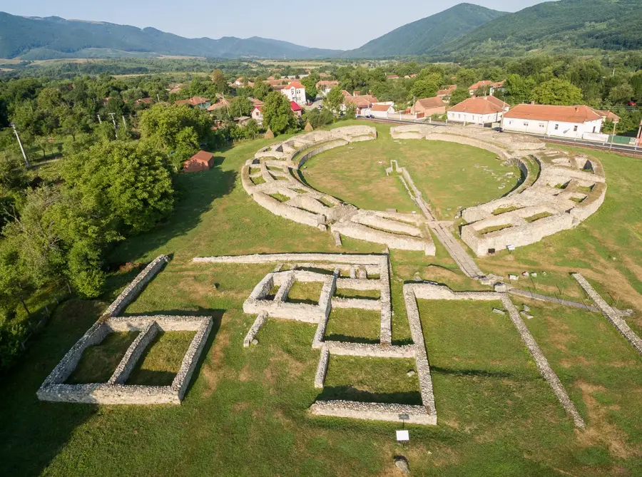
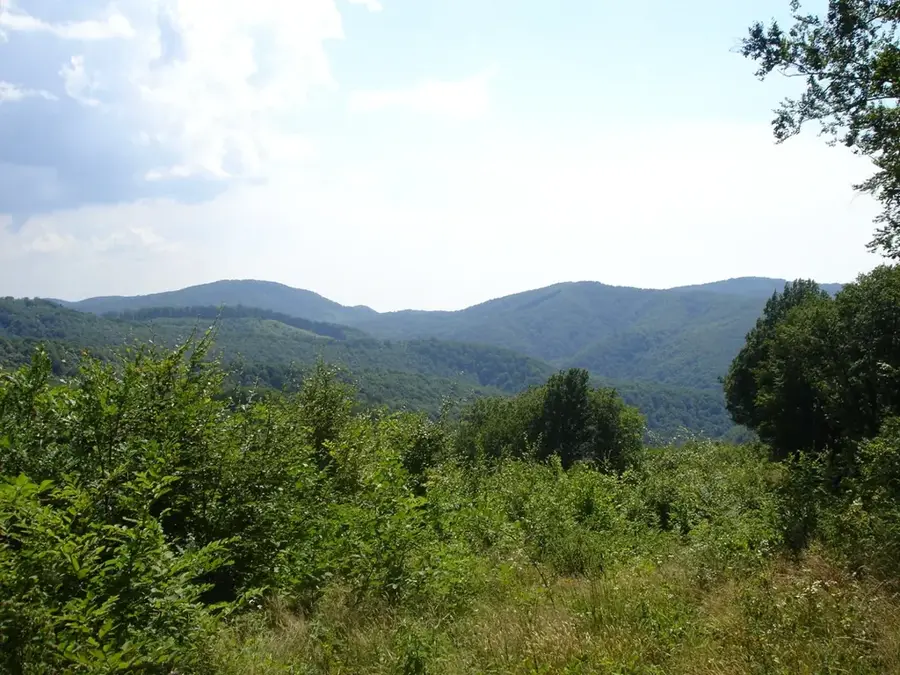
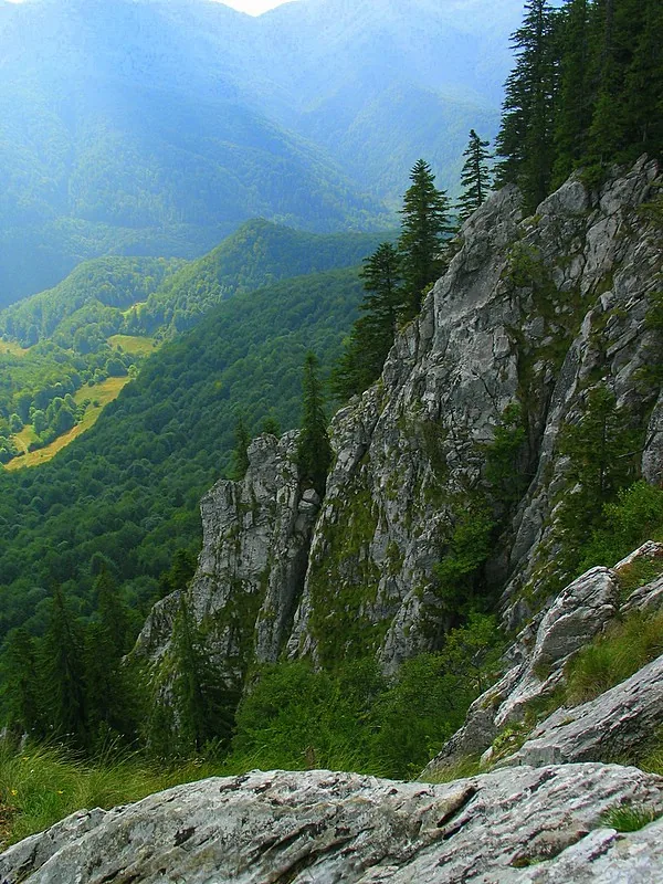
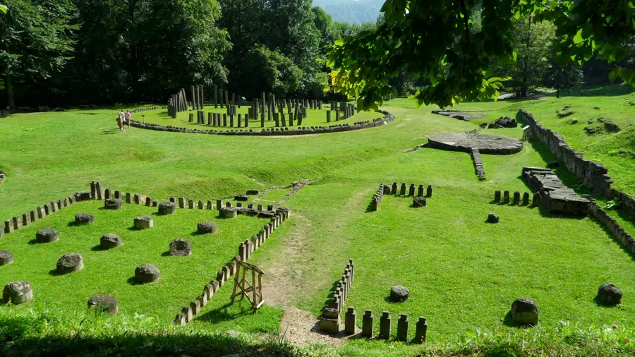
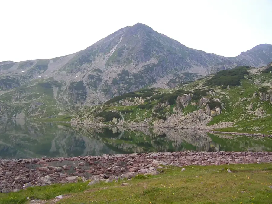
Sarmizegetusa Regia was the capital and the most important military, religious, and political center of the Dacian Kingdom prior to the Roman conquest. Located in the Orăștie Mountains at an elevation of 1,200 meters, it served as the core of a sophisticated defensive system comprising six hilltop fortresses. The archaeological site is divided into three main sectors: the fortress itself, the sacred precinct, and the civilian settlements built on artificial terraces. The sacred area is particularly renowned for its monumental temples and the great circular andesite calendar, which provides evidence of the Dacians' advanced understanding of astronomy and mathematics. Following Emperor Trajan's conquest in 106 AD, the city was systematically dismantled, leading the Romans to establish a new capital, Ulpia Traiana Sarmizegetusa, 40 kilometers away. Since 1999, Sarmizegetusa Regia has been a UNESCO World Heritage site, recognized as one of Southeast Europe's most significant archaeological landmarks. Artifacts found here, such as ornate gold bracelets, testify to a high level of craftsmanship and a complex societal structure.
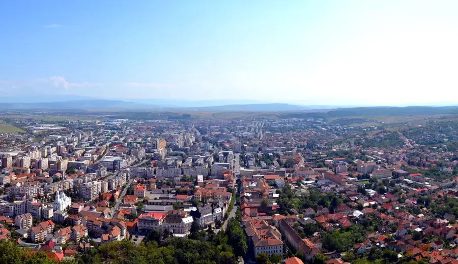
- Location: Hunedoara, Romania
- Top sights: Sarmizegetusa Regia · Sanctuarul mic de calcar · Sanctuar de andezit
- Nearby: Petrila (20 km)
Best time to visit & climate
The most pleasant time to visit is Jul–Sep.
| Jan | Feb | Mar | Apr | May | Jun | Jul | Aug | Sep | Oct | Nov | Dec | |
|---|---|---|---|---|---|---|---|---|---|---|---|---|
| Avg °C | -6 | -4 | 0 | 5 | 10 | 14 | 16 | 17 | 12 | 6 | 2 | -4 |
| Rain mm | 45 | 42 | 53 | 70 | 103 | 122 | 109 | 78 | 64 | 66 | 52 | 50 |
📋 Practical info
History & landmarks
empire
-82–106
Geography
Facts
- The fortress was destroyed by the Romans in 106 AD after a prolonged siege by Trajan.
- Sarmizegetusa Regia is situated at an elevation of 1,200 meters in the Orăștie Mountains.
- The site was officially designated as a UNESCO World Heritage site in 1999.
- The Great Circular Calendar has a total diameter of nearly 30 meters.
- Archaeologists recovered 24 Dacian gold bracelets weighing over 27 kg from the site.
- Water was supplied to the settlement through an advanced system of terracotta pipes.
Explore nearby
Notable places around
Route planner — Car & Motorhome
Where do you start? We build the route here, with stops and country notes along the way.
© OpenStreetMap contributors · OpenRouteService
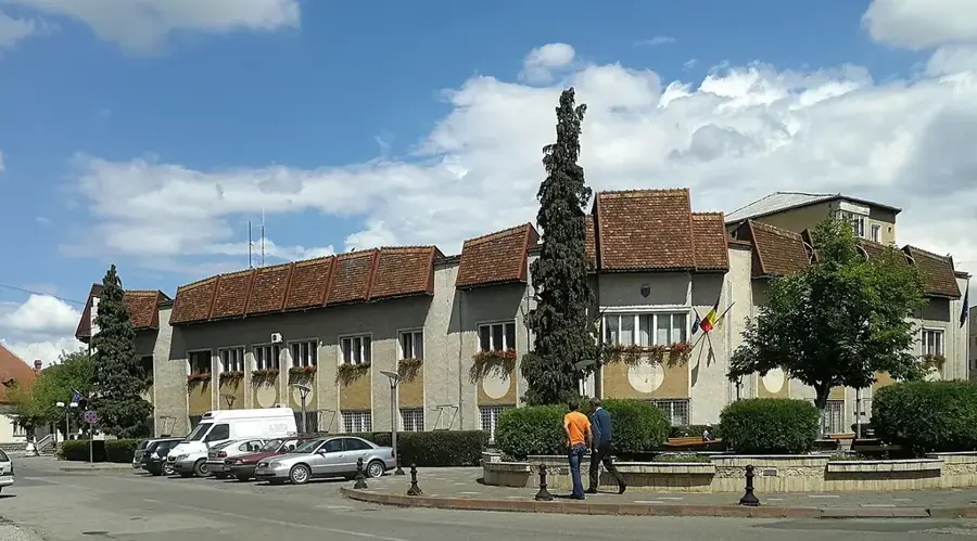
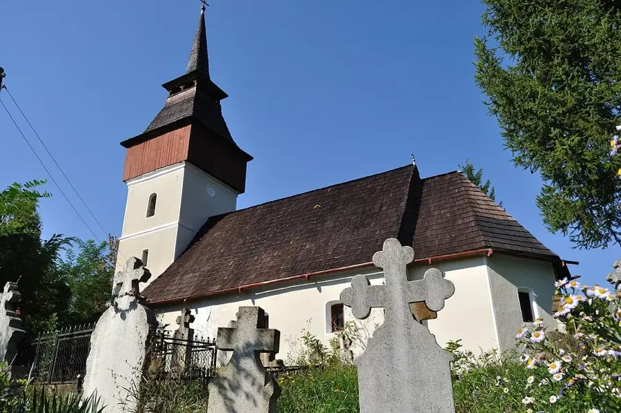
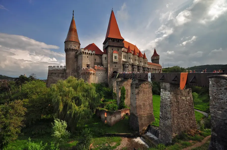
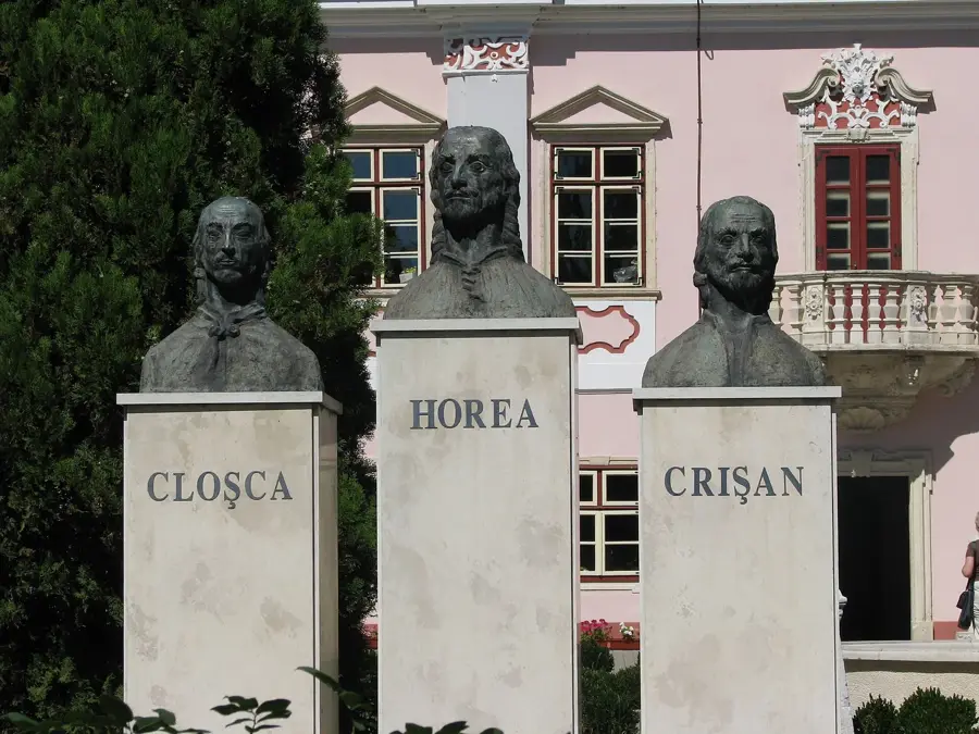
Sights in the town Sarmizegetusa Regia (3)
Sights nearby
Frequently asked questions
Where is the Dacian fortress located?
What is the main attraction of the site?
Is Sarmizegetusa Regia a UNESCO World Heritage site?
Is the access road paved?
Can you buy tickets on-site?
Sarmizegetusa Regia: where is it located?
Sarmizegetusa Regia: what is there to see?
Sarmizegetusa Regia: when is the best time to visit?
Sarmizegetusa Regia: why is it worth visiting?

Nearby cities


History & landmarks
Nature
More places