Plizio Visual Lab
Poiana Ruscă Mountains
Weather…
Water temperature…
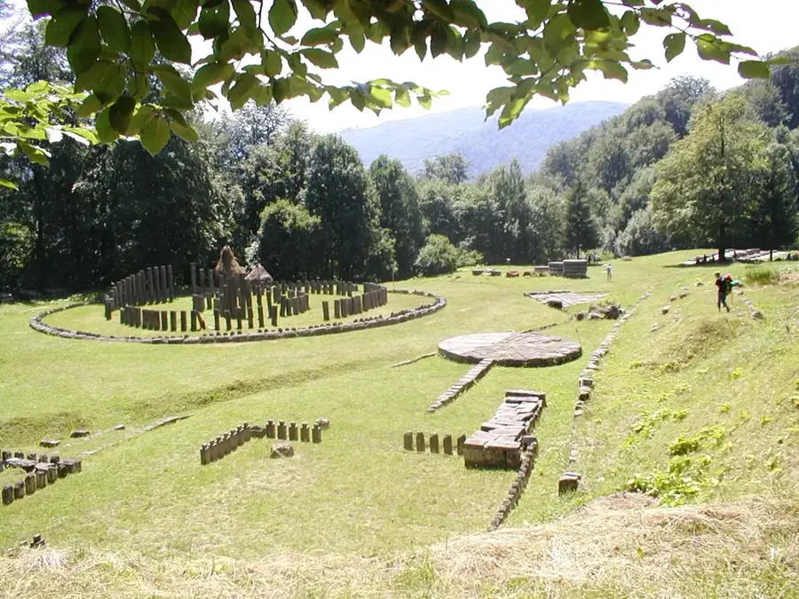
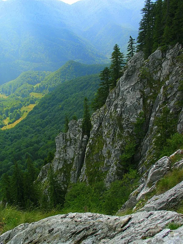
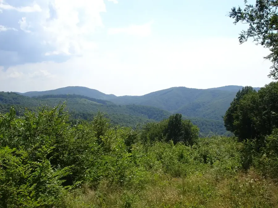
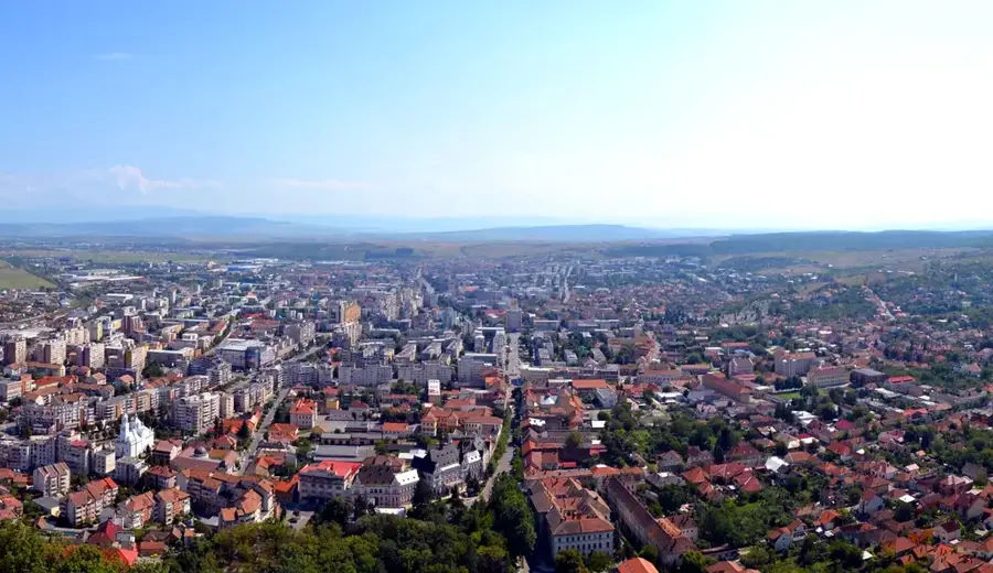
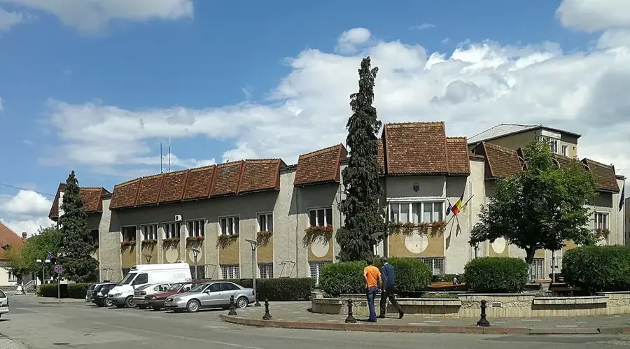
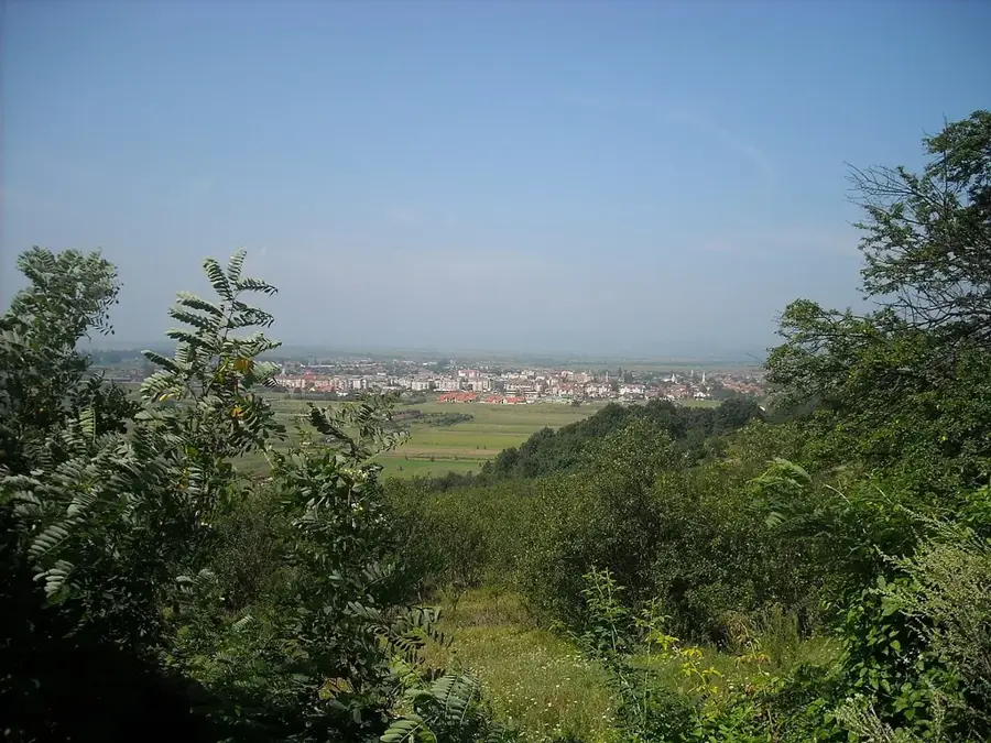
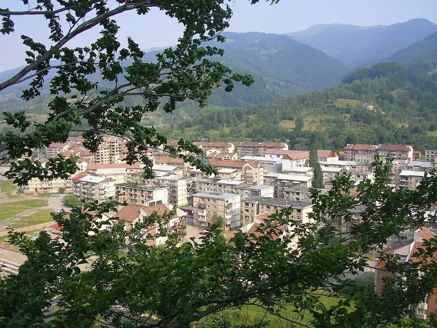
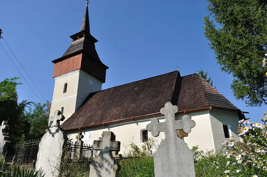
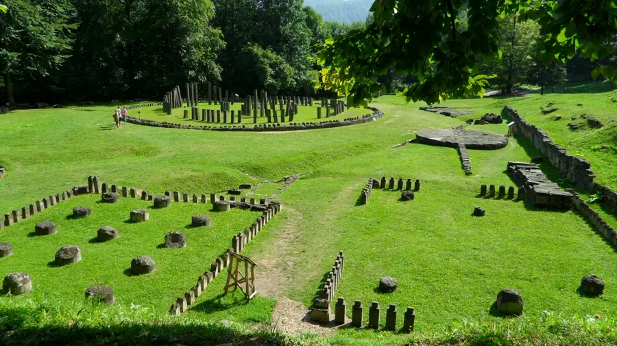
The Poiana Ruscă Mountains are a distinct massif in the Western Carpathians, bridging the gap between the Banat Mountains and the Apuseni range. Known for their complex geological structure and rich mineral deposits, particularly iron and marble, these mountains have a long history of mining and metallurgy. The landscape is characterized by deep valleys, dense forests, and high pastures (poieni) that offer beautiful panoramas of the surrounding lowlands. Poiana Ruscă is also the ancestral home of the Pădureni people, a unique ethnographic group with distinct traditions, costumes, and a deep connection to the forest. The mountains are a haven for wildlife, including wolves and bears, and offer numerous paths for exploring the authentic rural life of the Hunedoara and Timiș counties.
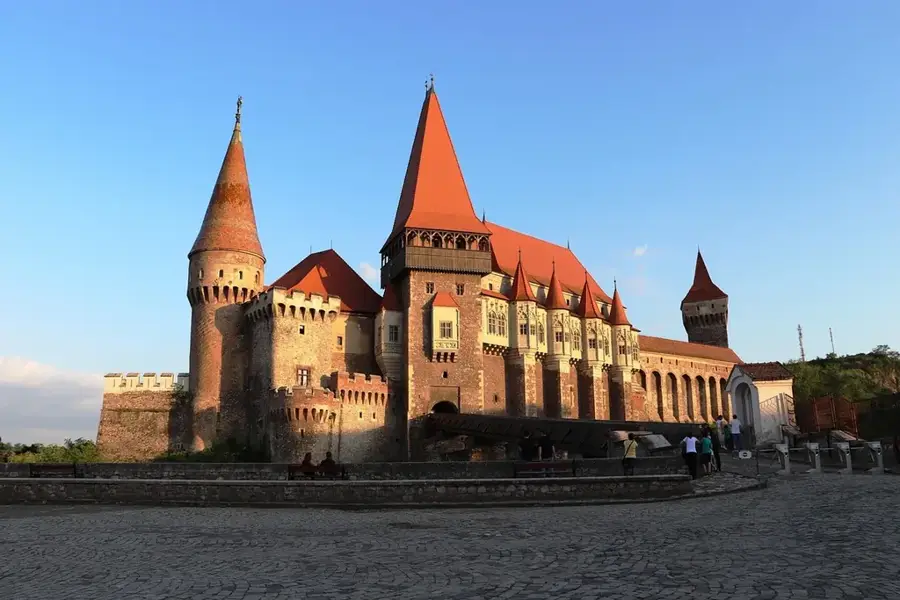
- Location: Hunedoara, Romania
- Top sights: Colecția Privată Davidoni Glass · Valea lui Liman
- Nearby: Făget (17 km)
Best time to visit & climate
The most pleasant time to visit is Jun–Aug.
| Jan | Feb | Mar | Apr | May | Jun | Jul | Aug | Sep | Oct | Nov | Dec | |
|---|---|---|---|---|---|---|---|---|---|---|---|---|
| Avg °C | -2 | 0 | 5 | 10 | 16 | 20 | 22 | 22 | 17 | 11 | 5 | 0 |
| Rain mm | 43 | 41 | 48 | 58 | 82 | 94 | 84 | 63 | 58 | 57 | 51 | 47 |
📋 Practical info
Geography
Facts
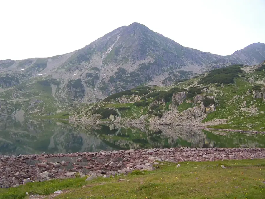
- Padeș Peak is the highest point of the massif, at 1,374 meters.
- The Ruschița marble quarry in these mountains is world-famous for its quality.
- Historically the primary source of iron ore for the Reșița and Hunedoara industries.
- Home to the Pădureni ethnographic region, known for its archaic customs.
- The mountains act as a natural watershed between the Mureș and Bega basins.
- Features numerous small karst formations, including caves and sinkholes.
- Slightly lower and more accessible than neighboring massifs, ideal for soft trekking.
- The Ghelari area in these mountains has been a mining hub since Roman times.
Explore nearby
Notable places around
Route planner — Car & Motorhome
Where do you start? We build the route here, with stops and country notes along the way.
© OpenStreetMap contributors · OpenRouteService
Sights in the town Poiana Ruscă Mountains (2)
Sights nearby
Frequently asked questions
What is the highest point in the Poiana Rusca Mountains?
What is the Ruschița area famous for?
How difficult are the hiking trails here?
Are there caves to visit in the mountains?
When is the best time to visit?
Poiana Ruscă Mountains: where is it located?
Poiana Ruscă Mountains: what is there to see?
Poiana Ruscă Mountains: when is the best time to visit?
Poiana Ruscă Mountains: why is it worth visiting?

Nearby cities


History & landmarks
Nature
More places