Plizio Visual Lab
Tecolostote
ℹ️Practical info — Tecolostote
▾
🌤 Weather — 5 days
📍 Nearby
Sights nearby
💡 Tips
- Use Tecolostote as a rest stop on your way to the Caribbean coast for fresh dairy products.
- The central park is a popular spot to enjoy local street food and snacks in the evenings.
- Check the river's water level and current before going for a swim during the dry months.
- The town is a commercial hub for cattle ranchers; the areas near gas stations are very active.
- Wear sun protection, as the main highways and streets have very little shade.
🍽 Food
A unique regional specialty: seasoned corn dough with beef, stuffed into casings and cooked.
Sweet corn tortillas, traditionally served here with a thick slab of fresh white cheese.
Try the famous hard, salty cheese of the region from local roadside vendors.
🛍 Shopping · 🧘 Quiet spots
Buy fresh cuajada (curd) or heavy cream directly from local dairy cooperatives.
The region is known for pure forest honey, often sold in glass bottles along the highway.
Look for handmade belts and simple saddles produced by local leatherworkers.
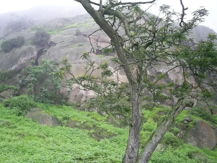
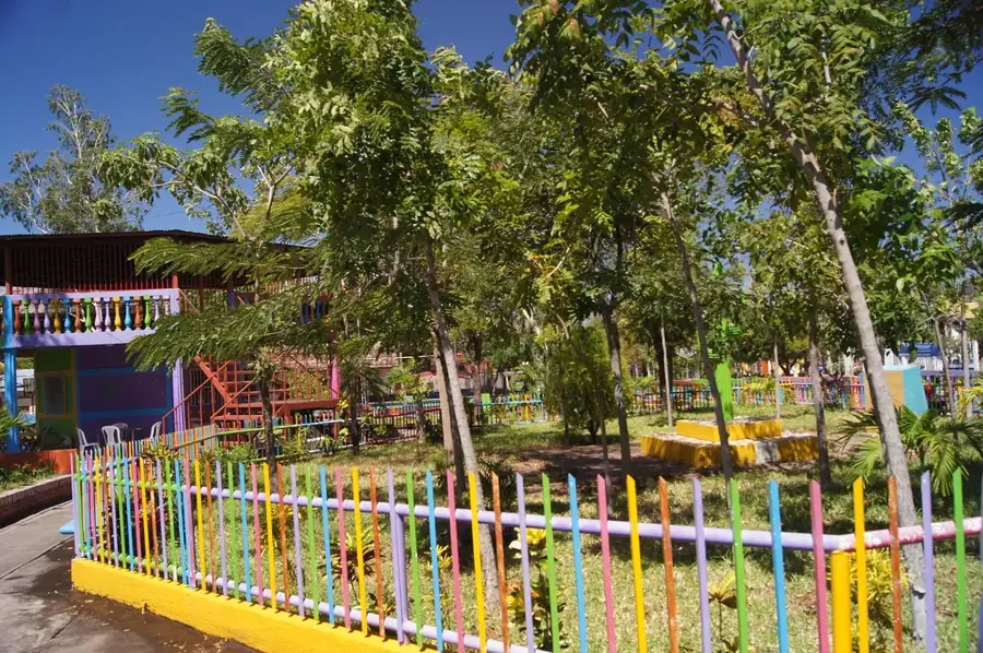
A municipal ecological park, convenient for nature watching and short hikes.
Find shaded spots upstream for a peaceful time by the water.
A quiet place for a break to escape the heat and noise of the main highway.
Water temperature…
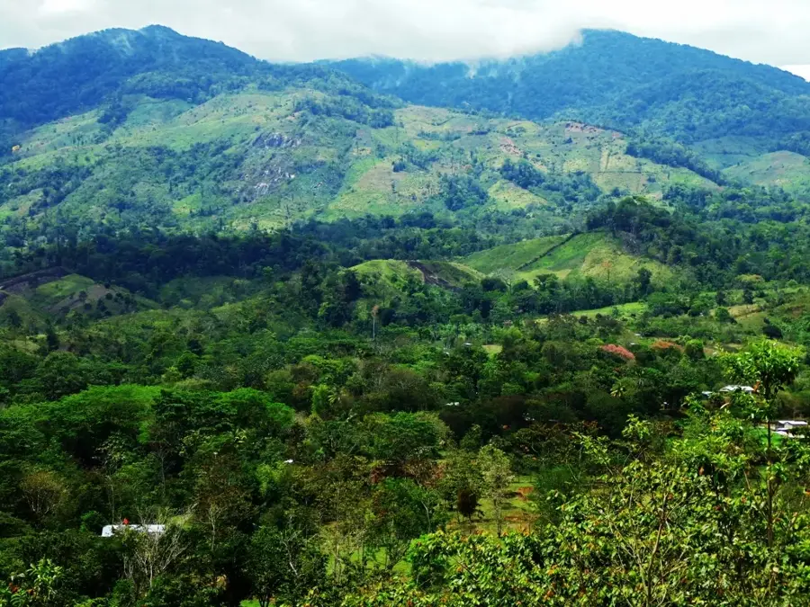
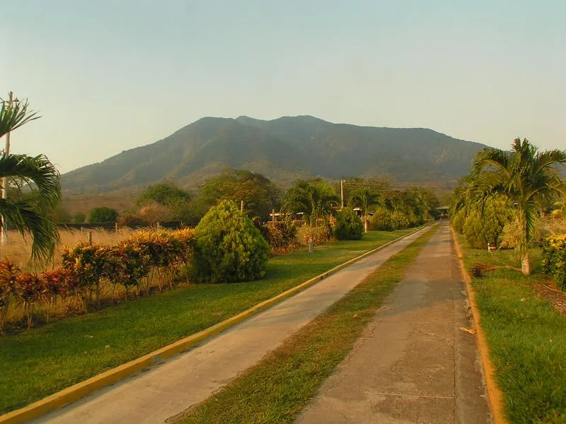
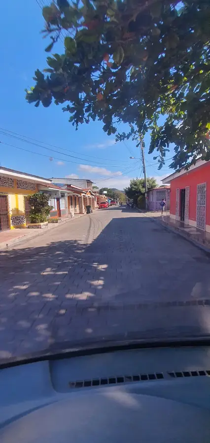
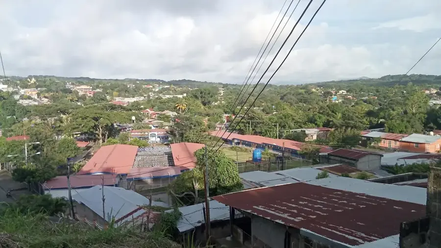
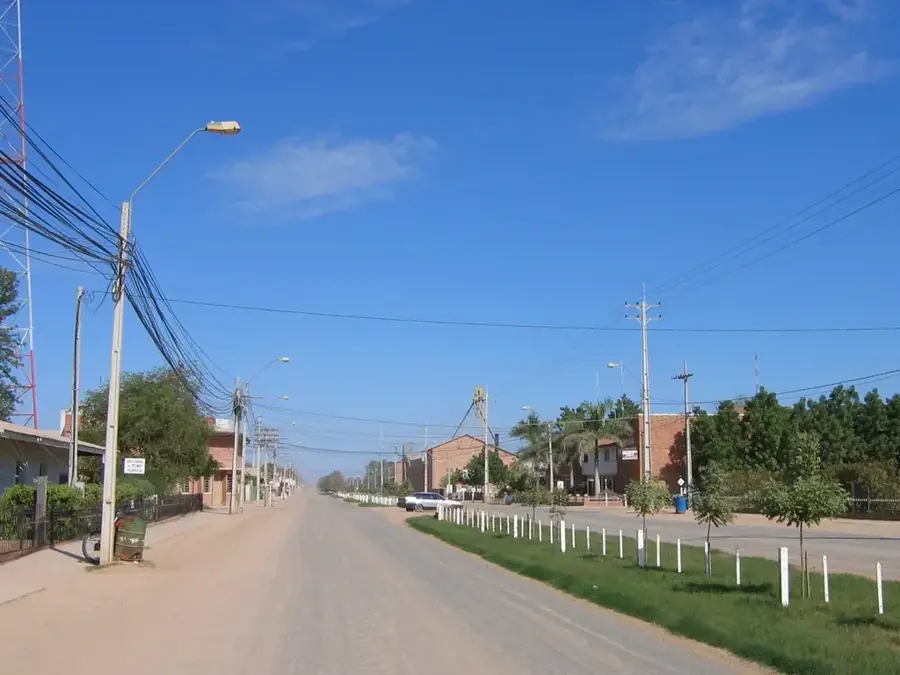
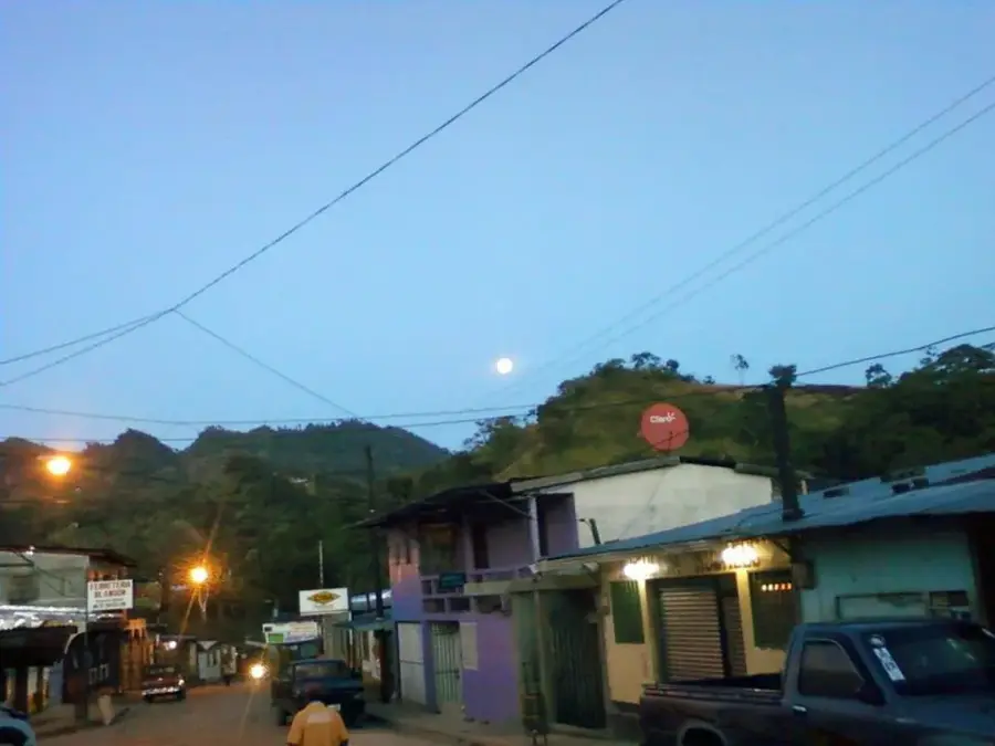
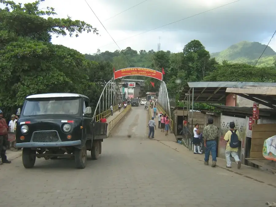
Tecolostote is a significant urban center and commercial crossroads located within the San Lorenzo municipality in the Boaco Department. Geographically situated on the plains that lead down toward Lake Nicaragua, it sits directly on the main highway connecting Managua with the central and Caribbean departments (Chontales, RACCS). This strategic position makes Tecolostote a bustling, noisy transit town filled with roadside diners, mechanics, and merchants. The surrounding economy is dominated by expansive cattle ranches and dairy farms, taking advantage of the vast savanna-like pastures of the region. The town is known for its intense heat and cowboy (vaquero) culture.
- Location: Nicaragua
- Nearby: La Dalia (8 km)
- Population: ~1.272 (2026)
Best time to visit & climate
The most pleasant time to visit is Jan, Feb, Dec.
| Jan | Feb | Mar | Apr | May | Jun | Jul | Aug | Sep | Oct | Nov | Dec | |
|---|---|---|---|---|---|---|---|---|---|---|---|---|
| Avg °C | 24 | 25 | 27 | 28 | 27 | 25 | 25 | 25 | 25 | 24 | 24 | 24 |
| Rain mm | 3 | 3 | 6 | 26 | 181 | 196 | 113 | 155 | 271 | 272 | 69 | 10 |
Geography
Facts
- Functions as the primary urban center for the San Lorenzo municipality.
- Located directly on the critical highway connecting Managua to El Rama and Chontales.
- The local economy revolves heavily around transit commerce, diners, and logistics.
- Surrounded by vast, savanna-like plains dedicated to extensive cattle ranching.
- The name derives from indigenous Nahuatl origins, translating roughly to 'Place of Owls'.
- Features a highly traditional 'vaquero' (cowboy) culture typical of the central region.
Explore nearby
Notable places around
Route planner — Car & Motorhome
Where do you start? We build the route here, with stops and country notes along the way.
© OpenStreetMap contributors · OpenRouteService
Frequently asked questions
Where is Tecolostote?
What should one visit here?
What is the atmosphere like?
Is a car helpful?
What is the best part of the region?
Tecolostote: where is it located?
Tecolostote: when is the best time to visit?
Tecolostote: why is it worth visiting?

Nearby cities
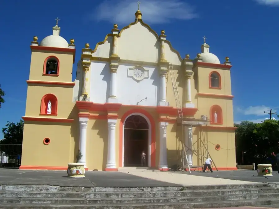

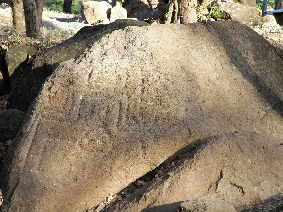
History & landmarks


Nature
More places