Plizio Visual Lab
Juigalpa Plateau

Weather…
Water temperature…
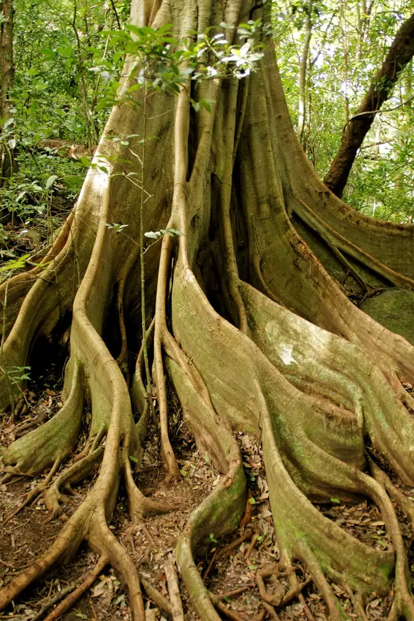
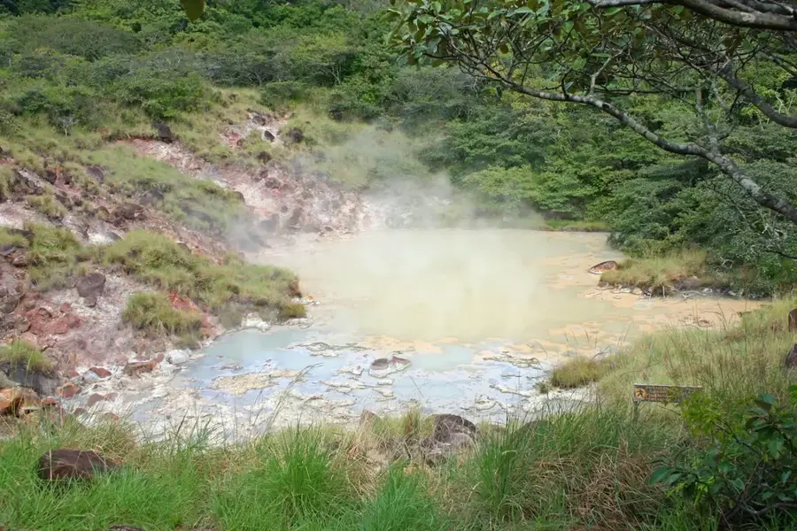
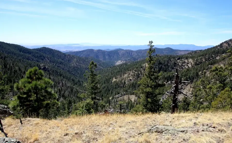
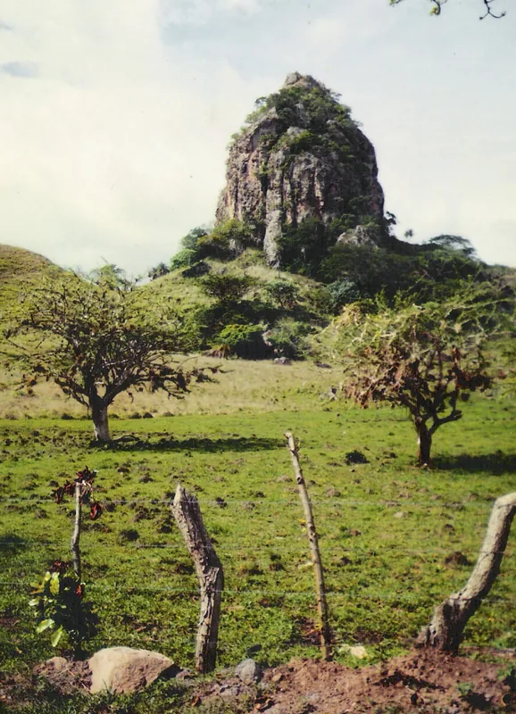
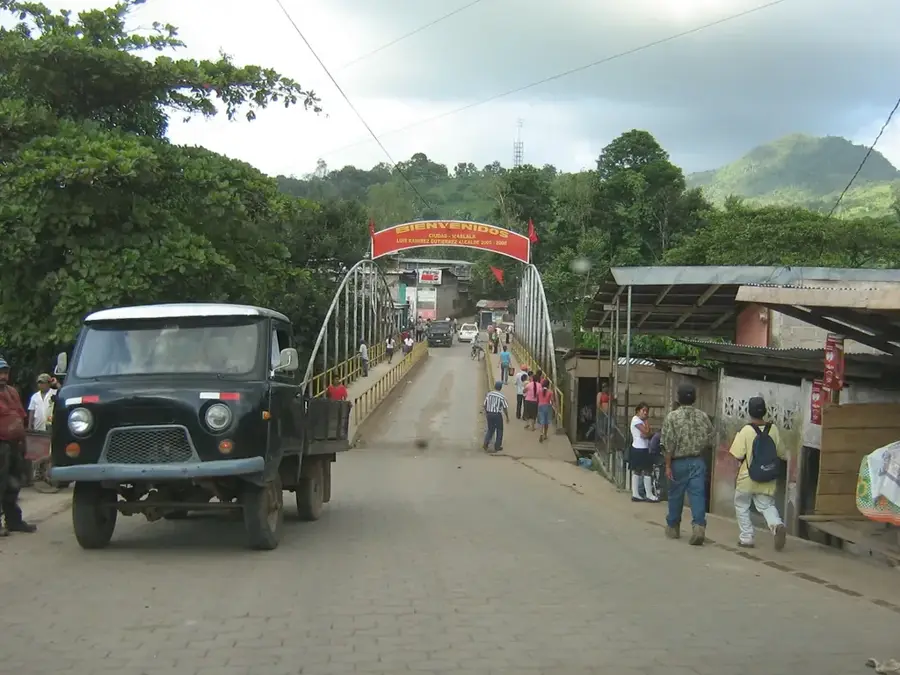
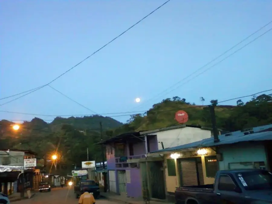
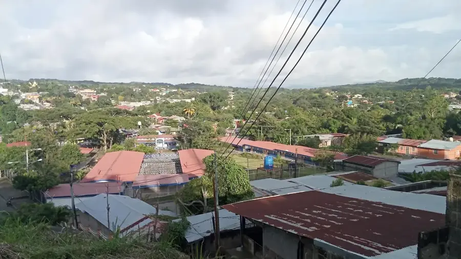
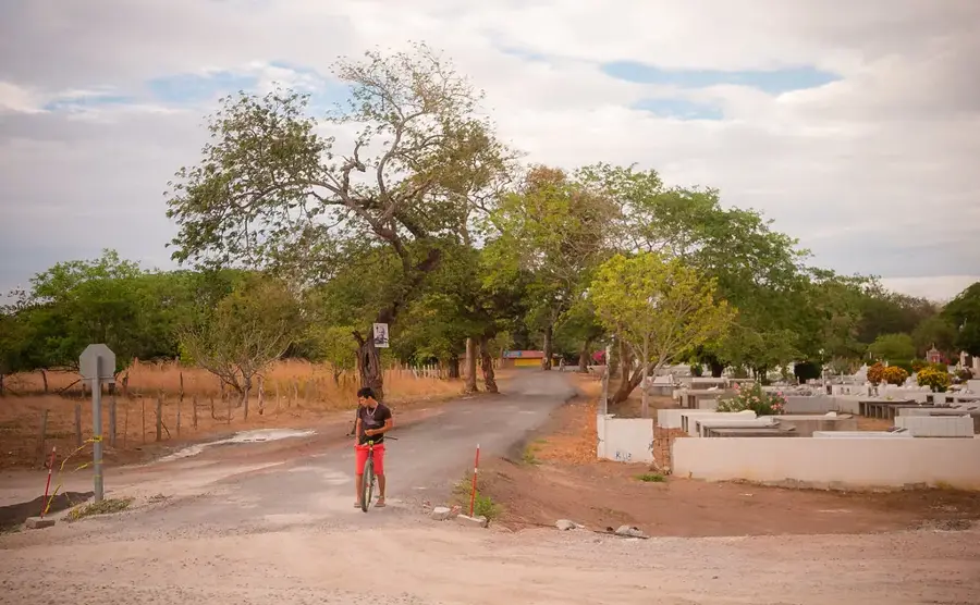
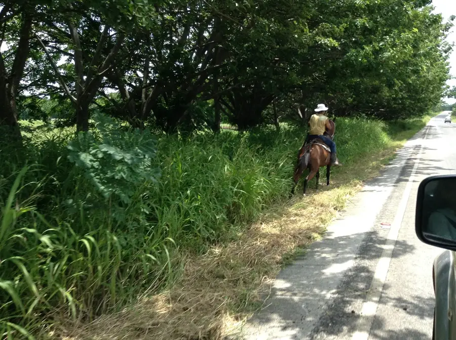
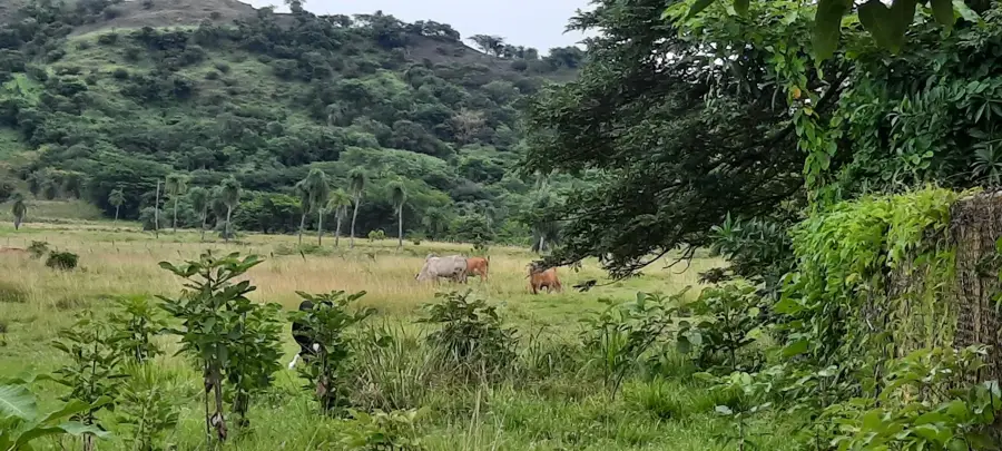
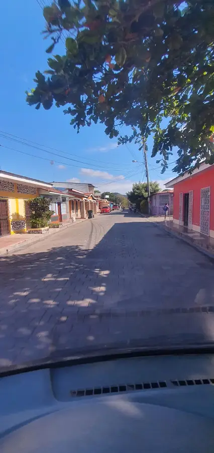
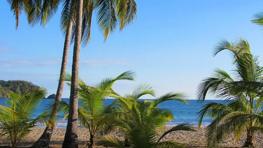
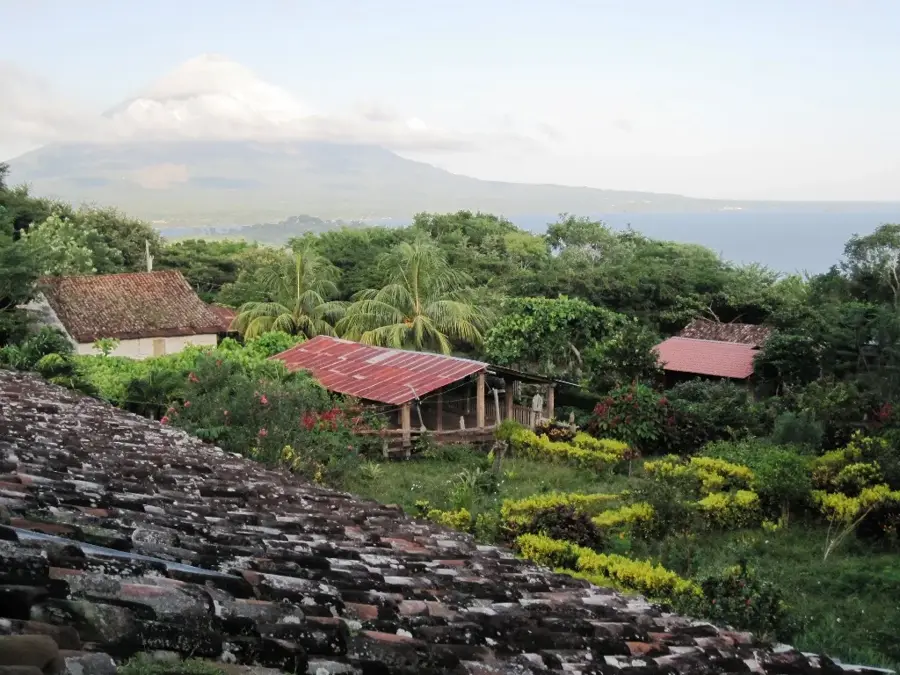
The Juigalpa Plateau is located in the Chontales department of Nicaragua, consisting of an extensive highland region characterized by rolling hills and volcanic basalt formations. Sitting at an elevation between 120 and 200 meters, it is the heartland of Nicaragua's livestock industry. Geographically, the plateau serves as a transition zone between the central mountains and the coastal plains of Lake Nicaragua. Historically, the area is of great significance as it hosts sites where numerous pre-Columbian statues were found, many of which are now displayed at the Gregorio Aguilar Barea Museum in Juigalpa. The climate is tropical savanna, which supports the vast grasslands that define the landscape. The plateau also gives spectacular vistas of the Amerrique Mountains, a range known for its archaeological mysteries. The city of Juigalpa, founded in 1668, functions as the administrative and economic hub for this highly productive plateau.
- Location: Nicaragua
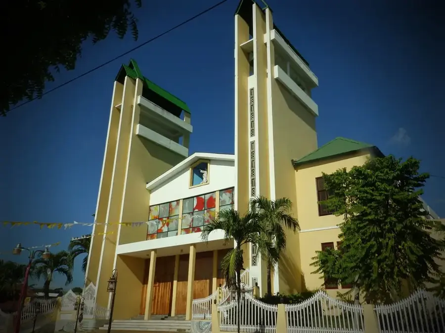
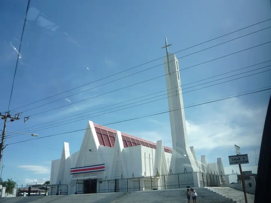
- Top sights: Our Lady of the Assumption Cathedral, Juigalpa · Diocese of Juigalpa · Juigalpa, Chontales
- Nearby: San Francisco de Cuapa (6 km)
Best time to visit & climate
The most pleasant time to visit is Jan, Feb, Dec.
| Jan | Feb | Mar | Apr | May | Jun | Jul | Aug | Sep | Oct | Nov | Dec | |
|---|---|---|---|---|---|---|---|---|---|---|---|---|
| Avg °C | 26 | 27 | 29 | 30 | 29 | 27 | 27 | 27 | 27 | 27 | 26 | 26 |
| Rain mm | 1 | 2 | 4 | 24 | 187 | 187 | 118 | 170 | 277 | 303 | 106 | 8 |
📋 Practical info
Geography
Facts
- Elevation range: 120 to 200 meters
- Primary economy: Cattle ranching and dairy
- Department: Chontales
- Foundation of Juigalpa city: 1668
- Archaeology: Discovery site of pre-Columbian statues
- Geological makeup: Volcanic basalt structures
Explore nearby
Notable places around
Route planner — Car & Motorhome
Where do you start? We build the route here, with stops and country notes along the way.
© OpenStreetMap contributors · OpenRouteService
Sights in the town Juigalpa Plateau (3)
Sights nearby
Frequently asked questions
Is the plateau suitable for cyclists?
Are there dining options?
When is the best view?
Is parking easy there?
Do you need a lot of time?
Juigalpa Plateau: where is it located?
Juigalpa Plateau: what is there to see?
Juigalpa Plateau: when is the best time to visit?
Juigalpa Plateau: why is it worth visiting?

Nearby cities


History & landmarks
Nature
More places