Plizio Visual Lab
Jinotepe
ℹ️Practical info — Jinotepe
▾
🌤 Weather — 5 days
📍 Nearby
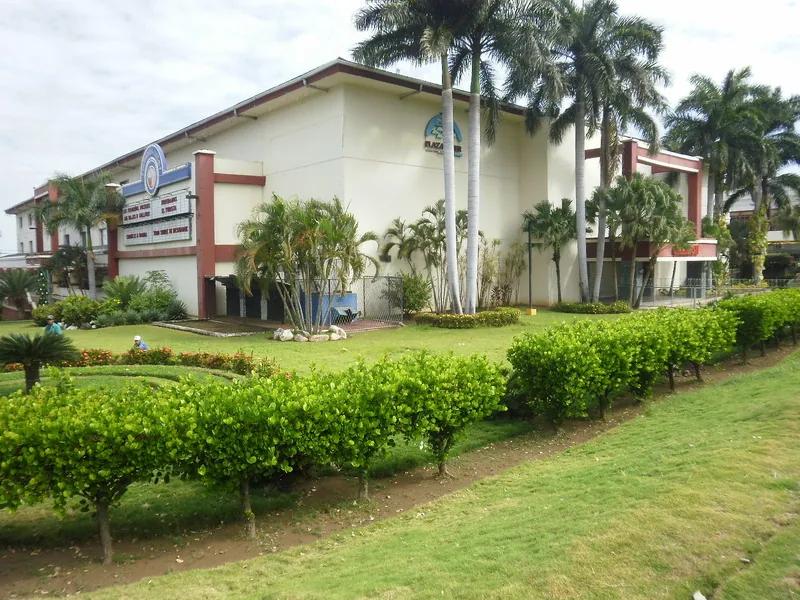
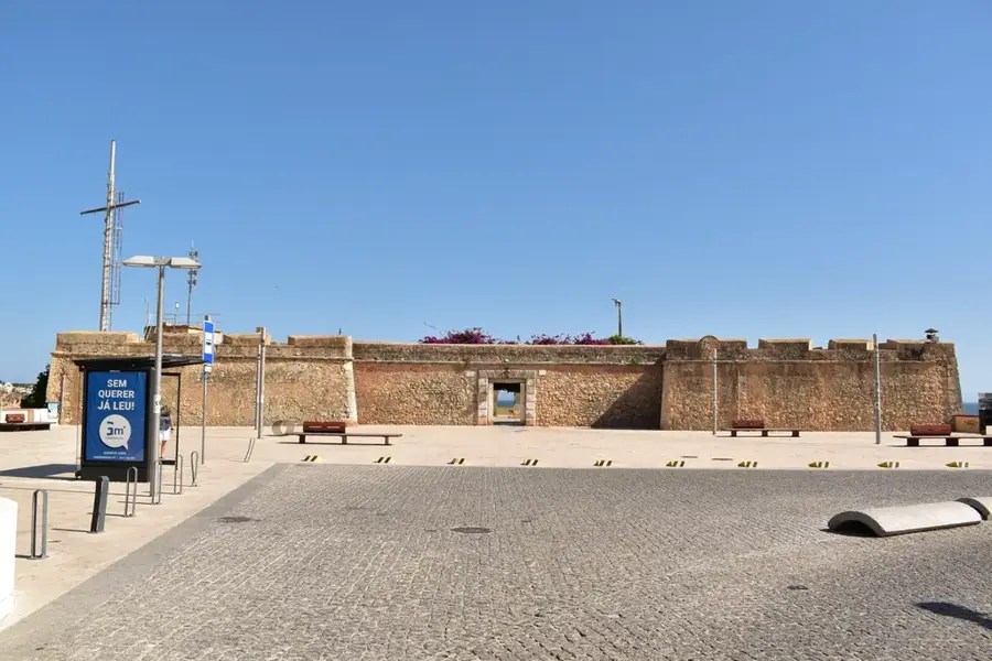
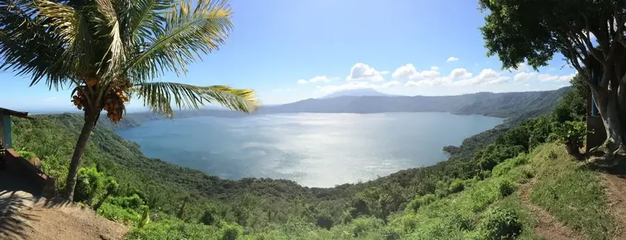
Sights nearby
💡 Tips
- Jinotepe has a cooler, breezy alternative to Managua; the center is easy to explore on foot.
- The central park area around the Parroquia de Santiago is the main hub; orientation is straightforward.
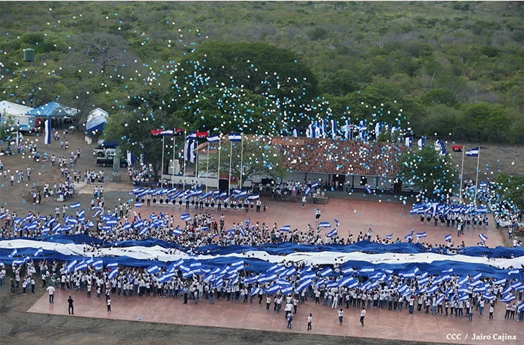
- If visiting in July, be prepared for the massive and colorful Fiestas Patronales dedicated to Santiago.
- Microbuses to Managua leave frequently from the local terminal; they are fast but fill up quickly.
🍽 Food
Yuca, chicharrón, and cabbage salad, a popular street food around the main square.
A traditional sweet and savory stew specific to the Carazo region, available in local diners.
Sweet fried dough with syrup, often sold by street vendors near the church.
🛍 Shopping · 🧘 Quiet spots
A typical Nicaraguan market where you can find tropical fruits, spices, and everyday goods.
Famous in the region for their traditional Nicaraguan pastries and breads.
A calm and cool refuge from the bustling streets outside.
The quiet, tree-lined roads connecting the Carazo towns are pleasant for a drive.
Water temperature…
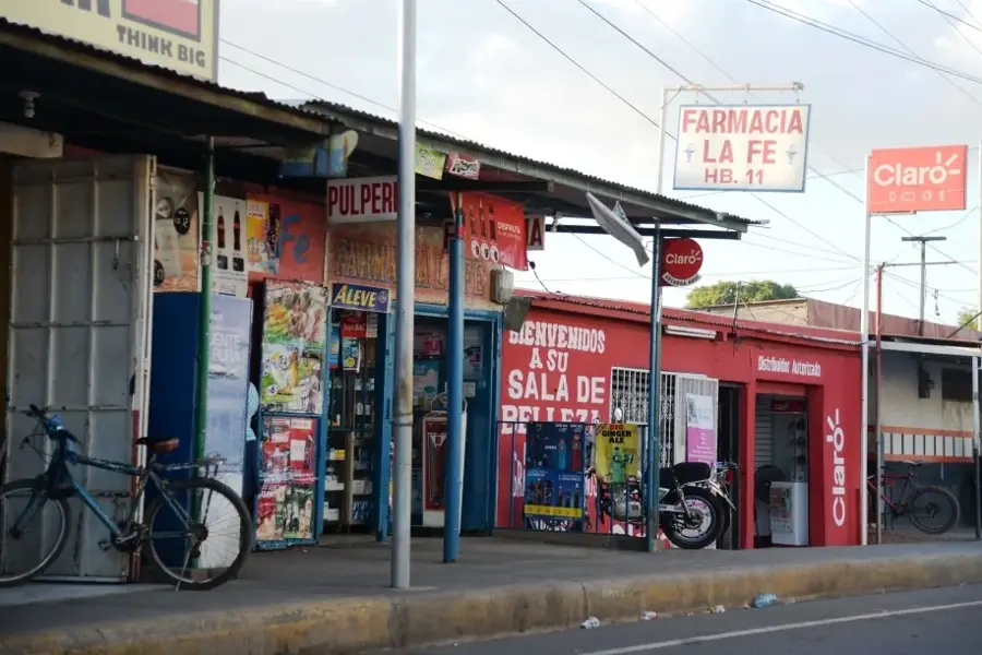
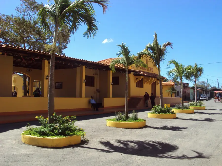
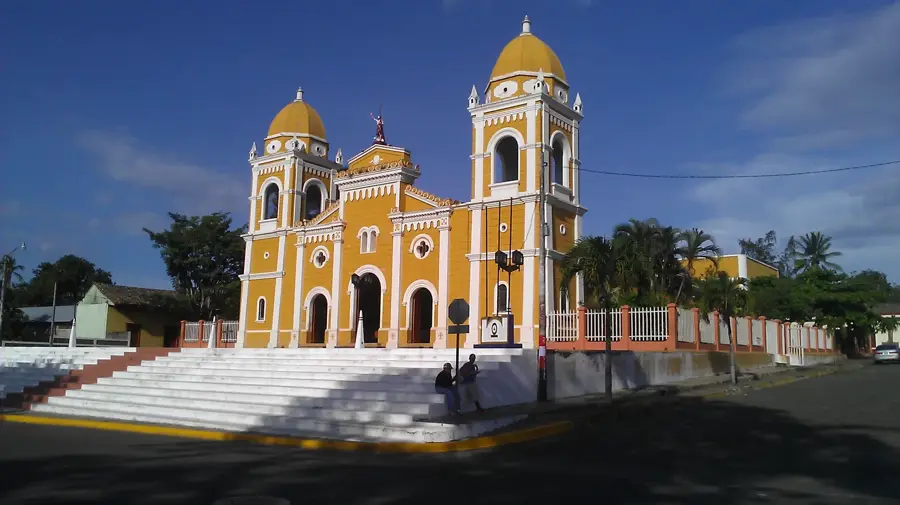
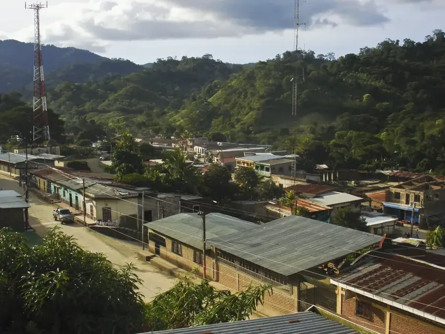
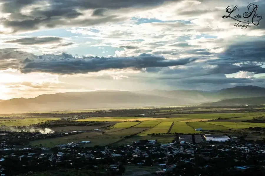
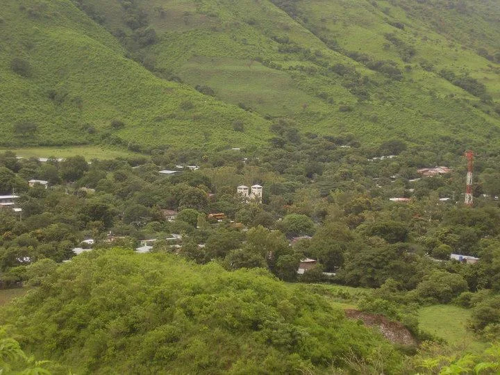
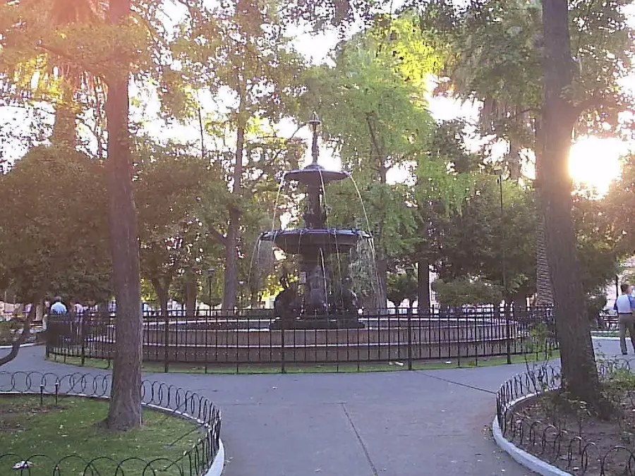
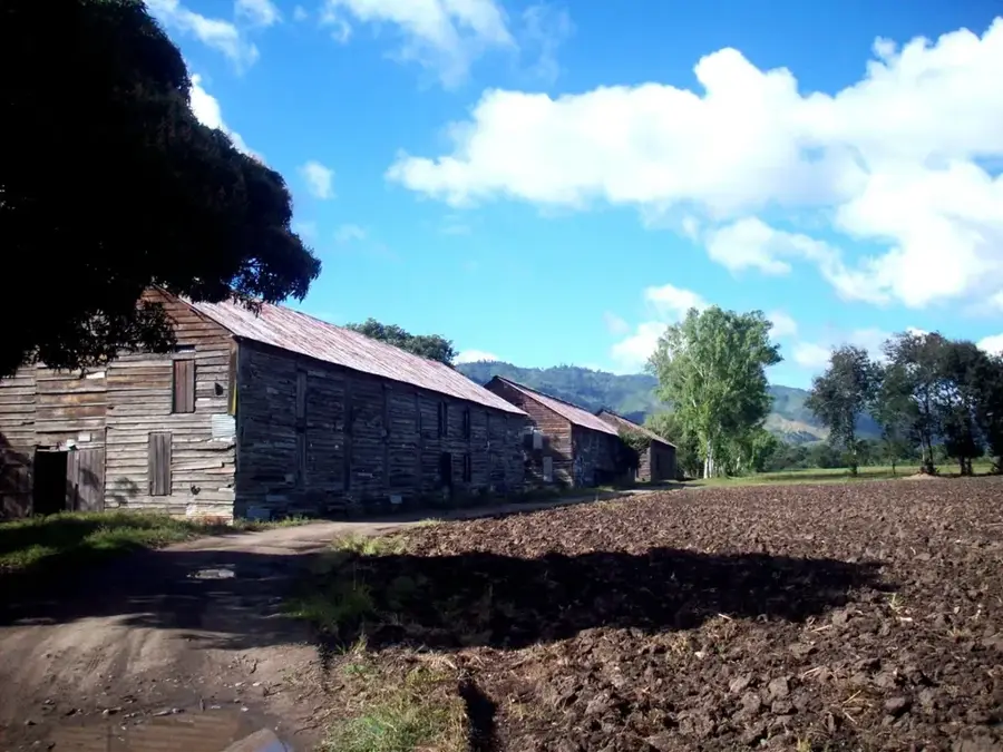
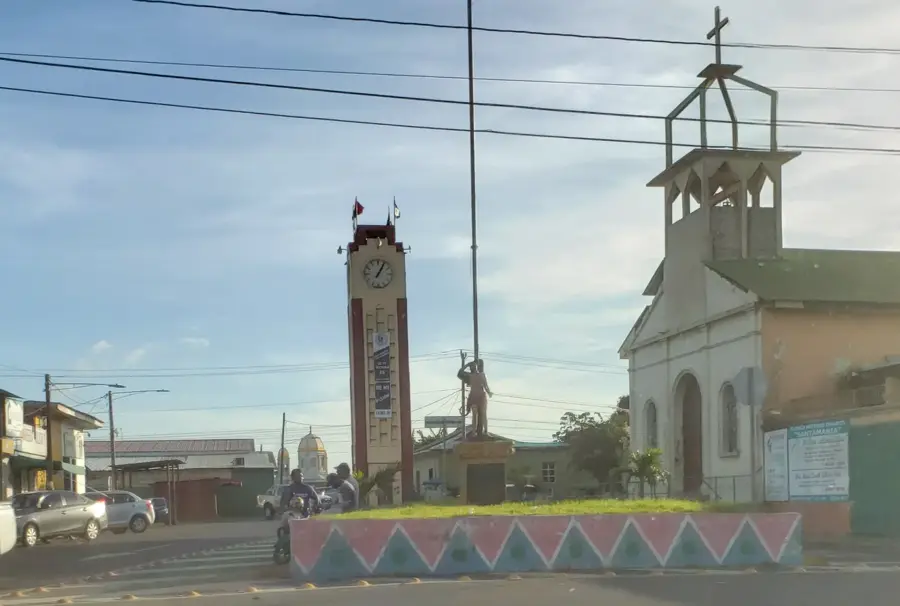
Jinotepe is the sophisticated capital of the Carazo Department, situated on the elevated plateau known as the Meseta de los Pueblos in southwestern Nicaragua. At an altitude of 560 meters above sea level, the city is celebrated for its fresh, stable climate, providing a reprieve from the tropical heat of the nearby lowlands. Historically, Jinotepe emerged as a primary node for the coffee aristocracy in the late 19th century, a legacy still visible in the elegant, high-ceilinged homes that ring its central plaza. The city's name is derived from the Nahuatl "Xilotepetl," translating to "Hill of the Green Maize," pointing to its ancient agricultural significance. Today, while coffee remains a cornerstone of the regional economy, Jinotepe has also developed into a significant educational hub, hosting regional campuses of major national universities. The urban landscape is anchored by the Parish of Santiago, a remarkable example of late 19th-century architecture that houses an impressive collection of Spanish religious iconography. Culturally, the city is famous for its patron saint festivities in July, specifically the "Tope de los Santos," where the statues of Santiago of Jinotepe, San Sebastian of Diriamba, and San Marcos of San Marcos are ceremonially brought together. These events showcase traditional dances like the "Toro Guaco," blending indigenous rhythms with colonial history. Strategically located along the Pan-American Highway, Jinotepe serves as a vital commercial transit point between the capital, Managua, and the southern border with Costa Rica. It is also the gateway to the popular Pacific beaches of La Boquita and Casares, located just 30 kilometers away. The residents, or "Jinotepinos," are known for their civic pride, maintaining the city as one of the cleanest and safest in Nicaragua. The local cuisine is distinctive, featuring dishes like "Ajiaco," a complex stew made with corn, pineapple, and indigenous herbs. With its blend of academic energy, historical charm, and agricultural wealth, Jinotepe remains a vital center of Nicaraguan highland culture.
- Location: Nicaragua
- Top sights: Carazo Department · Jinotepe, Carazo · Estadio Pedro Selva
- Nearby: Diriamba (5 km)
- Population: ~29.507 (2026)
Best time to visit & climate
The most pleasant time to visit is Jan, Feb, Dec.
| Jan | Feb | Mar | Apr | May | Jun | Jul | Aug | Sep | Oct | Nov | Dec | |
|---|---|---|---|---|---|---|---|---|---|---|---|---|
| Avg °C | 27 | 28 | 29 | 30 | 29 | 27 | 27 | 28 | 27 | 26 | 26 | 26 |
| Rain mm | 1 | 2 | 5 | 27 | 202 | 207 | 115 | 172 | 289 | 313 | 113 | 8 |
Geography
Facts
- Jinotepe's coordinates are 11.85°N and 86.20°W.
- The city was officially granted the title of 'City' in 1883.
- It serves as the administrative seat of the Carazo Department.
- The 'Tope de los Santos' is one of Nicaragua's oldest religious traditions.
- Jinotepe is approximately 30 minutes from the Pacific Coast.
- The local university campus (UNAN) is a major regional employer.
- The city's central park is named 'Parque Central de Jinotepe'.
- Coffee production in the area began in earnest around 1850.
Explore nearby
Notable places around
Route planner — Car & Motorhome
Where do you start? We build the route here, with stops and country notes along the way.
© OpenStreetMap contributors · OpenRouteService
Sights in the town Jinotepe (3)
Frequently asked questions
What does Jinotepe offer?
Is it safe?
Are there markets?
How is access?
Are there parks?
Jinotepe: where is it located?
Jinotepe: what is there to see?
Jinotepe: when is the best time to visit?
Jinotepe: why is it worth visiting?

Nearby cities

History & landmarks

Nature

More places