Plizio Visual Lab
Werra River
Weather…
Water temperature…
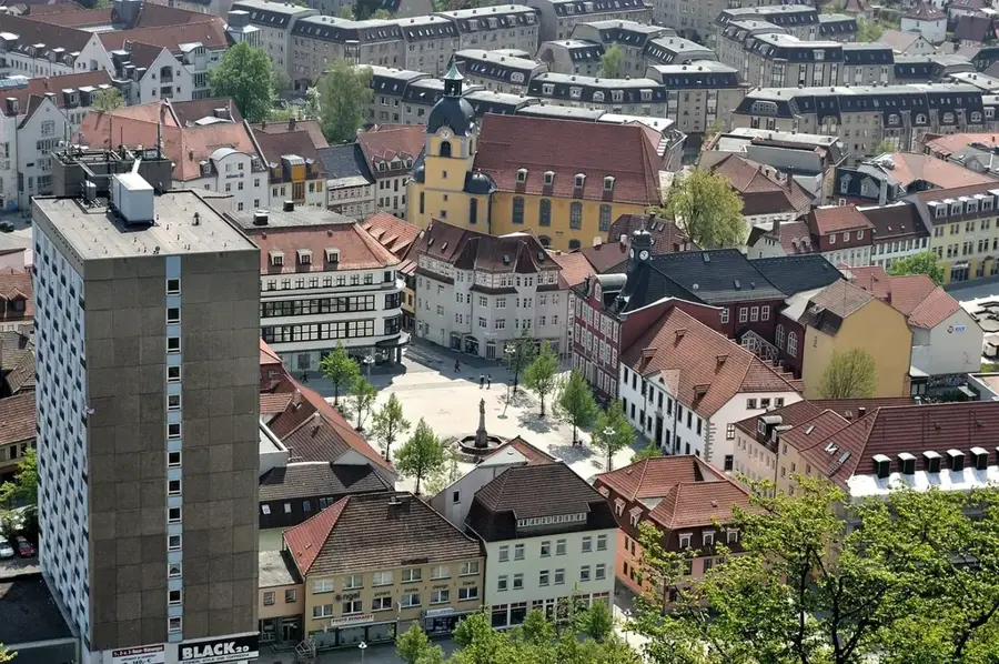
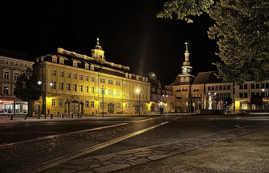
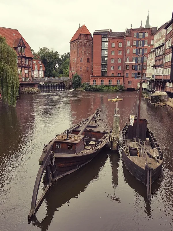
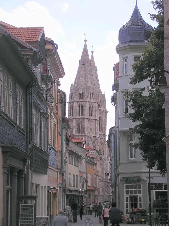
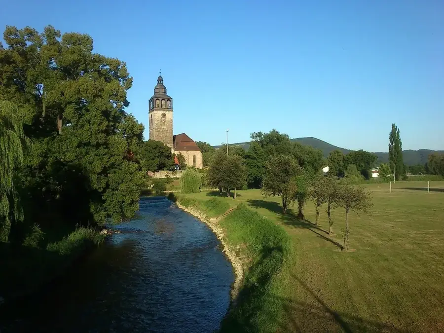
The Werra is a 299-kilometer-long river in Germany that rises in the Thuringian Forest and winds through Thuringia, Hesse, and Lower Saxony. In Hann. Münden, it joins the Fulda to form the source of the Weser River. Its course is defined by a diverse low mountain landscape and numerous cultural landmarks, such as the castle city of Eisenach and the residence city of Meiningen. A unique feature of the Werra is its historical significance as part of the former inner-German border, now preserved as the Green Belt along its banks. Geologically, the Werra Valley is known for potash salt deposits, which ecologically impacted the river for decades but are now more strictly regulated. For tourists, the Werra Valley Cycle Path and opportunities for canoeing provide convenient conditions to explore the untouched nature and medieval timber-framed towns along the riverbanks.
- Location: Thuringia, Germany
- Top sights: Hügelgräberfeld Eichig · Neuberg · Dippersberg
- Nearby: Wasungen (13 km)
Best time to visit & climate
The most pleasant time to visit is Jun–Aug.
| Jan | Feb | Mar | Apr | May | Jun | Jul | Aug | Sep | Oct | Nov | Dec | |
|---|---|---|---|---|---|---|---|---|---|---|---|---|
| Avg °C | -2 | -1 | 3 | 8 | 12 | 16 | 19 | 18 | 14 | 8 | 3 | 0 |
| Rain mm | 63 | 48 | 52 | 40 | 76 | 65 | 82 | 69 | 57 | 56 | 64 | 68 |
📋 Practical info
Geography
Facts
- The Werra has two sources: the Saar source and the Werra source on the Eselsberg.
- The confluence with the Fulda is marked by the famous 'Weserstein' stone.
- The Werra drains a catchment area of approximately 5,497 km².
- The Werra Valley Cycle Path is over 300 kilometers long.
- The Werra potash district is one of the largest potash mining areas in the world.
- Historically, the Werra was used for rafting timber from the Thuringian Forest.
Explore nearby
Notable places around
Route planner — Car & Motorhome
Where do you start? We build the route here, with stops and country notes along the way.
© OpenStreetMap contributors · OpenRouteService
Sights in the town Werra River (6)
Sights nearby
Frequently asked questions
Where does the Werra river rise?
Is the Werra region suitable for cyclists?
What activities can be done on the river?
Which large river does the Werra flow into?
What well-known places are located along the Werra?
Werra River: where is it located?
Werra River: what is there to see?
Werra River: when is the best time to visit?
Werra River: why is it worth visiting?

Nearby cities