Plizio Visual Lab

Werra

Plizio editör ekibiVeri Kaynakları
Fluss
—°6
Werra (Almanya)

Hava durumu…

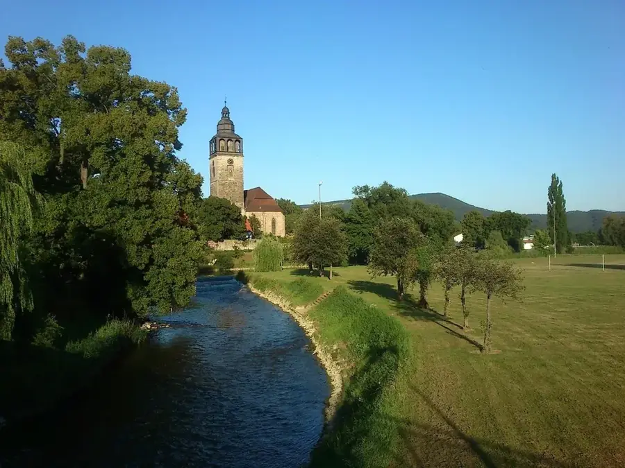
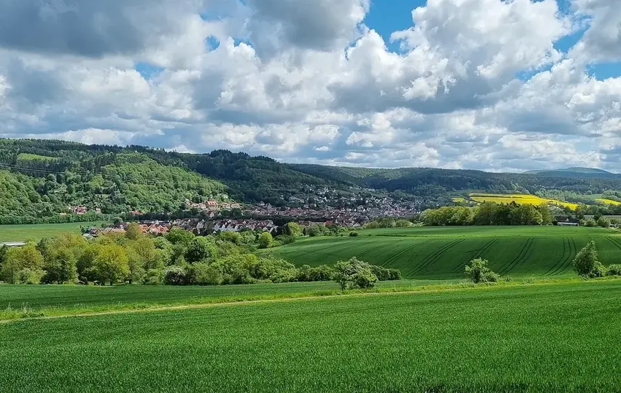
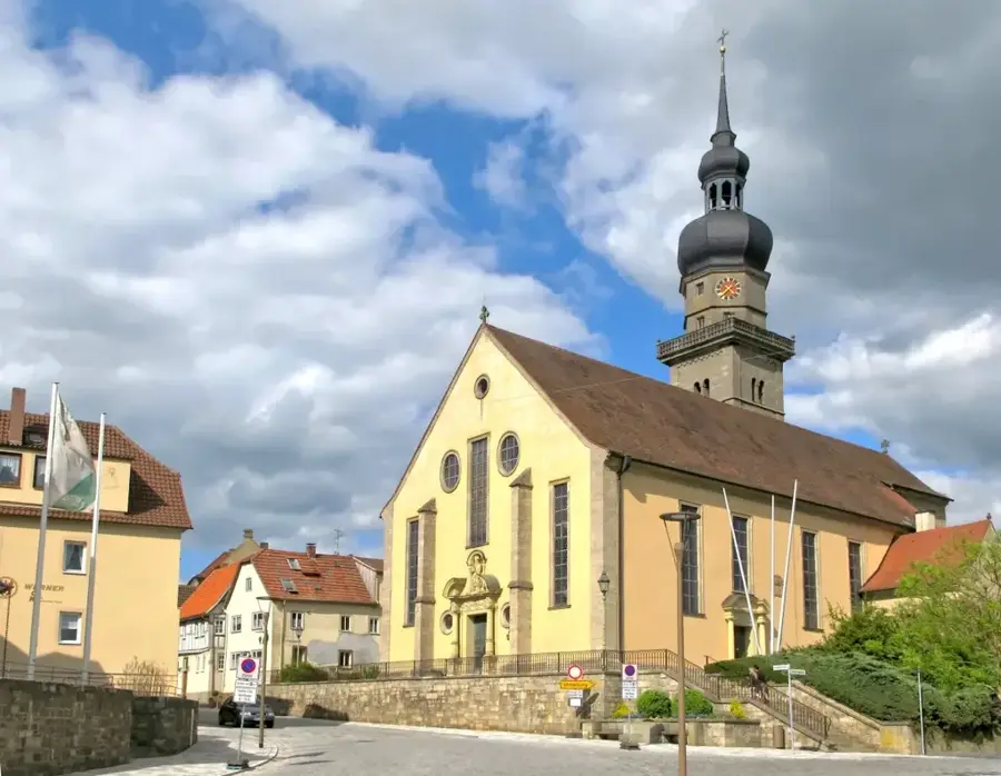
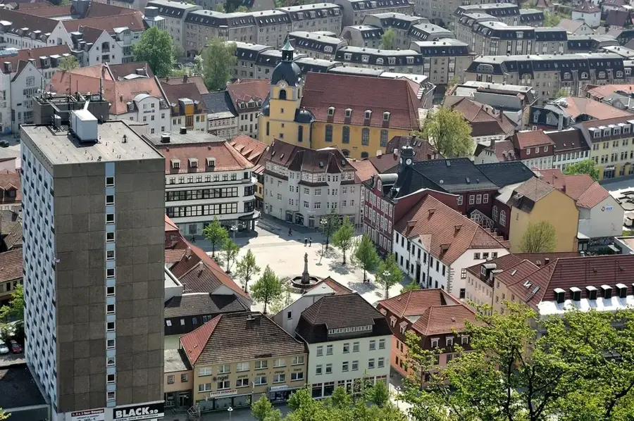
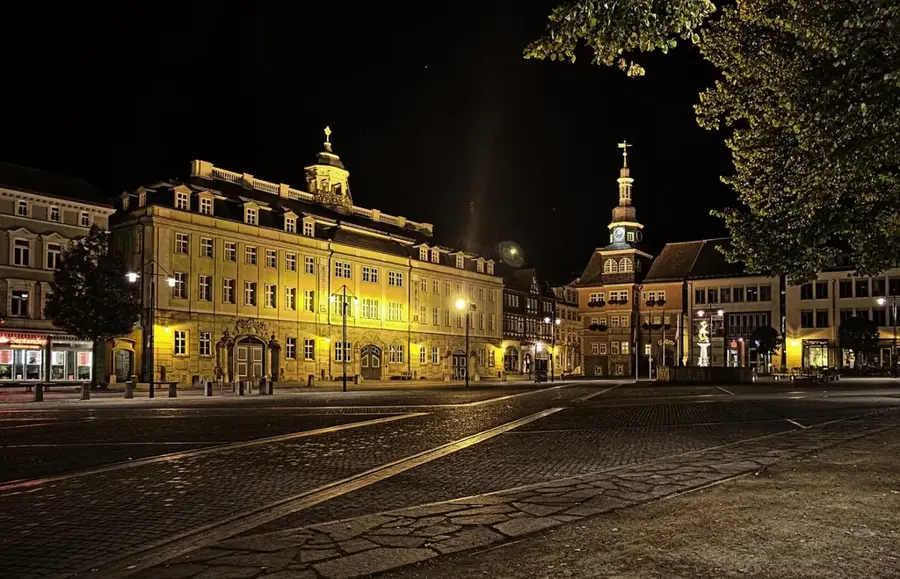
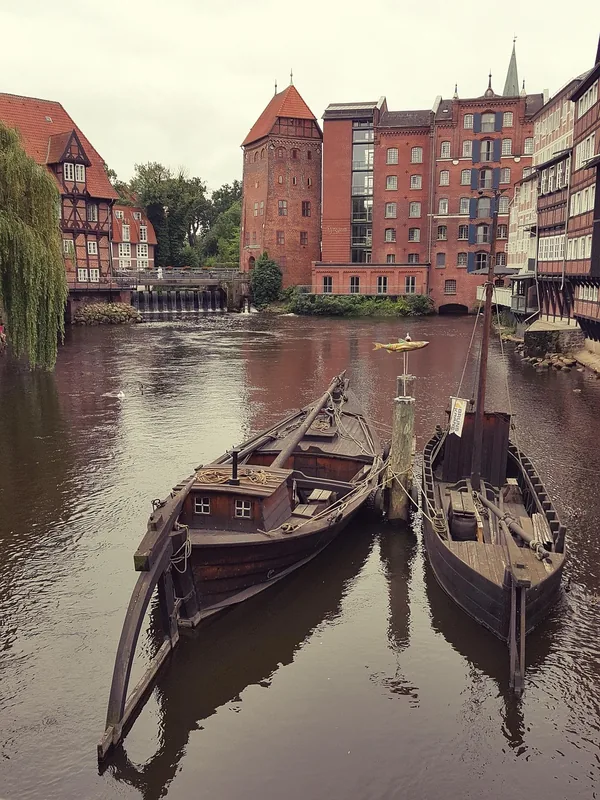
Werra, Almanya'da 299 kilometre uzunluğunda bir nehirdir; Thüringer Wald'dan doğar ve Thüringen, Hessen ile Aşağı Saksonya boyunca kıvrılır. Fulda ile birlikte Hann. Münden'de Weser'in kaynağını oluşturur. Nehrin seyri, çeşitli orta dağ manzaraları ve Wartburg şehri Eisenach ile Meiningen gibi sayısız kültürel simge ile şekillenir. Werra'nın bir özelliği, eski iç Alman sınırı olarak taşıdığı tarihi önemdir; bu miras bugün kıyısı boyunca uzanan 'Yeşil Kuşak' (Grünes Band) ile görülebilir. Jeolojik olarak Werra vadisi, onlarca yıl nehri ekolojik olarak kirleten ancak bugün sıkı kontrol edilen potasyum tuzu yataklarıyla tanınır. Turistler için Werratal bisiklet yolu ve kano ile su turizmi imkanları, el değmemiş doğayı ve kıyıdaki ortaçağ mimarili kasabaları keşfetmek için ideal koşullar sunar.

Yolculuğun, hatıran

Werra hatırası bir kartpostal

Kendi fotoğrafını yer damgalı kişisel bir kartpostala dönüştür. Ücretsiz ve kayıt gerektirmez.

Kartpostal oluştur

En iyi ziyaret zamanı & iklim

En keyifli dönem: Haz–Ağu.

OcaŞubMarNisMayHazTemAğuEylEkiKasAra
Ort. °C-2-1381216191814830
Yağmur mm634852407665826957566468

📋 Pratik bilgiler

🧭
Ulaşım
The Werra is excellently accessed via the Werratal cycle path, which follows the river for large sections. Drivers can easily reach the riverbanks from the adjoining small towns and quaint villages scattered across southern Thuringia.
📅
En iyi mevsim
Spring and summer are by far the ideal seasons to visit the Werra Valley. During this time, nature blooms, and the weather is perfectly suited for extensive cycling tours or highly relaxing canoe trips down the river.
⛰️
Arazi ve yollar
The river winds its way through a low mountain landscape featuring gentle rolling hills, forested slopes, and wide floodplains. The bankside paths are generally well-paved, asphalted or finely graveled, making them easy to walk.
🎒
Ekipman
For cycling tours or casual hikes, comfortable, weather-resistant clothing and light footwear will suffice. Anyone planning a canoe trip on the Werra should definitely pack a change of clothes and adequate sun protection.
🅿️
Otopark
Along the river course and especially in the neighboring towns, there are numerous parking spaces for hikers and cyclists. Many starting points for canoe tours also offer designated, often completely free parking areas.
⚠️
Güvenlik
The cycling and hiking trails are considered highly safe and are very well signposted. On the water, one should respect the natural currents and avoid weirs; life jackets are typically standard and recommended for canoe trips.
⏱️
Gerekli süre
Visitors typically spend anywhere from a few hours for a short hike up to several days cycling the Werratal path. A full day trip is absolutely ideal to thoroughly enjoy the landscape and the quaint adjoining villages in a relaxed manner.

Geographie

Länge
292 km
Koordinaten
50.55000, 10.35000

Fakten

  • Werra'nın iki kaynağı vardır: Saar Kaynağı ve Eselsberg'deki Werra Kaynağı.
  • Fulda ile birleştiği yer ünlü Weserstein taşı ile işaretlenmiştir.
  • Werra yaklaşık 5.497 km²'lik bir havzayı sular.
  • Werratal bisiklet yolu 300 kilometreden uzundur.
  • Werra potasyum bölgesi dünyanın en büyük potasyum maden alanlarından biridir.
  • Tarihsel olarak Werra, Thüringer Wald'dan gelen odunların tomrukçuluğu için kullanılmıştır.

Çevreyi keşfet

Yakındaki ilgi çekici yerler

Route planner — Car & Motorhome

Where do you start? We build the route here, with stops and country notes along the way.

Vehicle
Only stops with (optional):
Motorhome dimensions

© OpenStreetMap contributors · OpenRouteService

Sehenswürdigkeiten in der Stadt Werra (6)

Hügelgräberfeld Eichig🏺 tarihî

Ein archäologisches Feld mit Grabhügeln in der Nähe der Werra.

Neuberg📍 simge

Der Neuberg an der Werra in Thüringen ist ein Hügel in der Nähe des Flusses.

Dippersberg📍 simge

Ein Gipfel im Werratal, beliebt bei Wanderern für seine Aussicht.

Dornkopf📍 simge

Ein Bergipfel an der Werra, der die lokale Landschaft prägt.

Henriettenplatz🌿 doğa

Ein Aussichtspunkt an der Werra, der weite Blicke über das Tal bietet.

Kreuzberghäuschen🌿 doğa

Kreuzberghäuschen: eine Schutzhütte auf dem Kreuzberg im Thüringer Wald.

Çevredeki gezilecek yerler

Sıkça sorulan sorular

Where does the Werra river rise?
The Werra has two source streams in the Thuringian Forest near Fehrenbach and Siegmundsburg. Both springs are located at about 800 meters elevation.
Is the Werra region suitable for cyclists?
Yes, the Werratal-Radweg runs over 300 kilometers from the sources to the mouth in Hann. Münden and is considered one of Germany's most scenic cycle paths.
What activities can be done on the river?
The Werra is very popular for water touring by canoe or kayak. The gentle current makes the river ideal for families and beginners.
Which large river does the Werra flow into?
The Werra joins the Fulda in Hann. Münden to form the Weser river. A famous local saying goes: 'Where Werra and Fulda kiss each other...'.
What well-known places are located along the Werra?
Well-known towns along the river include Meiningen, Bad Salzungen, Eisenach (nearby), and Eschwege, leading up to the destination of Hann. Münden.
Werra: nerede yer alıyor?
Werra, Thüringen, Almanya bölgesinde yer alır.
Werra: nereler gezilir?
Öne çıkanlar: Hügelgräberfeld Eichig, Neuberg, Dippersberg.
Werra: en iyi ziyaret zamanı nedir?
En keyifli dönem: Haz, Ağu.
Werra: neden ziyaret edilmeli?
Werra, Almanya'da 299 kilometre uzunluğunda bir nehirdir; Thüringer Wald'dan doğar ve Thüringen, Hessen ile Aşağı Saksonya boyunca kıvrılır.
Auf der Karte ansehen → En güzel plajlar → OpenStreetMap →
Avrupa
Plizio ile keşfet Avrupa'da daha fazla yer keşfedin
Almanya içinde daha fazla yer →

Städte in der Nähe