Plizio Visual Lab
Thuringian Forest
Weather…
Water temperature…
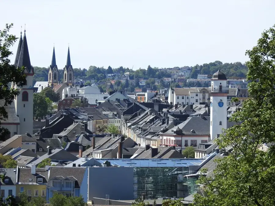
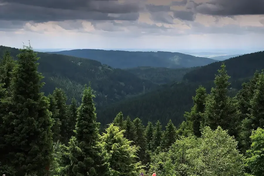
The Thuringian Forest is a low mountain range in Thuringia, approximately 120 kilometers long, known for its dense spruce forests and deeply incised valleys. As one of Germany's most traditional hiking regions, it is home to the Rennsteig, a historic boundary path that today enjoys worldwide renown as a long-distance hiking trail. The region is not only a natural paradise but also a major center for winter sports, particularly around the resort of Oberhof, which regularly hosts world championships in biathlon and luge. A large part of the mountain range is protected as a UNESCO Biosphere Reserve to preserve the biological diversity of its mountain meadows and bogs. Historically, the forest was a hub for glass and toy manufacturing as well as mining, which shaped the cultural heritage of its mountain towns.
- Location: Thuringia, Germany
- Top sights: Schützenberg · Schützenbergmoor · Moorlehrpfad
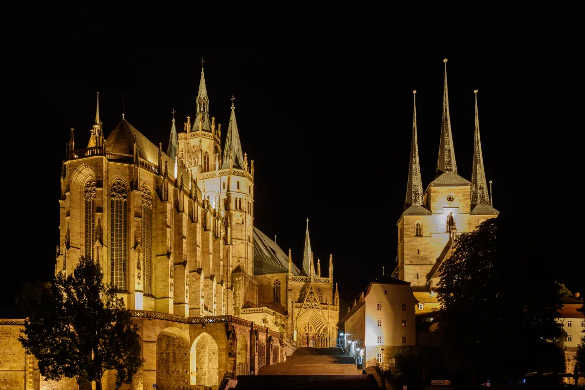
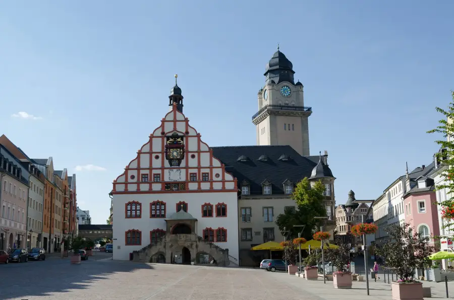
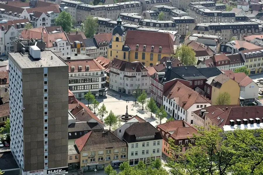
- Nearby: Zella-Mehlis (5 km)
Best time to visit & climate
The most pleasant time to visit is Jun–Aug.
| Jan | Feb | Mar | Apr | May | Jun | Jul | Aug | Sep | Oct | Nov | Dec | |
|---|---|---|---|---|---|---|---|---|---|---|---|---|
| Avg °C | -2 | -1 | 3 | 8 | 12 | 16 | 19 | 18 | 14 | 8 | 3 | 0 |
| Rain mm | 63 | 48 | 52 | 40 | 76 | 65 | 82 | 69 | 57 | 56 | 64 | 68 |
📋 Practical info
Geography
Facts
- 120 km: The approximate length of the entire low mountain range.
- 169 km: Total length of the Rennsteig, the oldest ridgeway trail in Germany.
- Oberhof: Internationally renowned center for winter sports and training camps.
- Spruce: The dominant tree species that significantly shapes the forest's appearance.
- 1979: Foundation of the UNESCO Vessertal-Thuringian Forest Biosphere Reserve.
- 489 m: The average elevation of the mountain range above sea level.
Explore nearby
Notable places around
Route planner — Car & Motorhome
Where do you start? We build the route here, with stops and country notes along the way.
© OpenStreetMap contributors · OpenRouteService
Sights in the town Thuringian Forest (10)
Moorlehrpfad
Educational trail through bog areas, providing information about nature.
Schanzenanlage im Kanzlersgrund
Architectural structure, former ski jump in Kanzlersgrund.
Forstarbeiterdenkmal
Monument honoring forest workers in the Thuringian Forest.
Bärenstein
Rock cliff with a view in the Thuringian Forest.
Christuskirche
Church in the Thuringian Forest, used for worship services.
Schanze
Viewpoint, possibly at a ski jump.
Bergiger Ausblick
Viewpoint overlooking the mountainous landscape of the Thuringian Forest.
Exotarium
Zoo with exotic animals in the Thuringian Forest.
Sights nearby
Frequently asked questions
What is the most famous hiking trail in the Thuringian Forest?
Are there winter sports facilities?
Which cities are located near the Thuringian Forest?
Is the Thuringian Forest suitable for families?
What is a typical dish of the region?
Thuringian Forest: where is it located?
Thuringian Forest: what is there to see?
Thuringian Forest: when is the best time to visit?
Thuringian Forest: why is it worth visiting?

Nearby cities