Plizio Visual Lab
Saale River
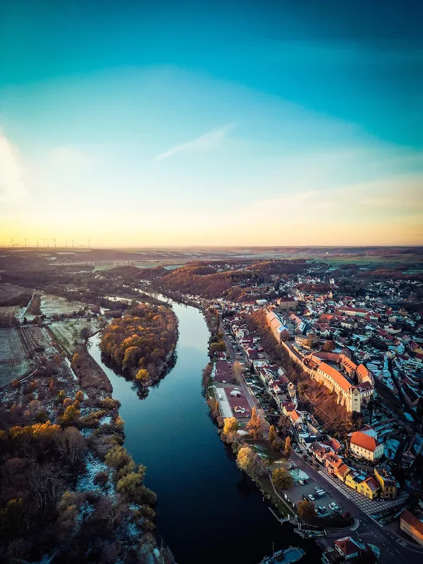
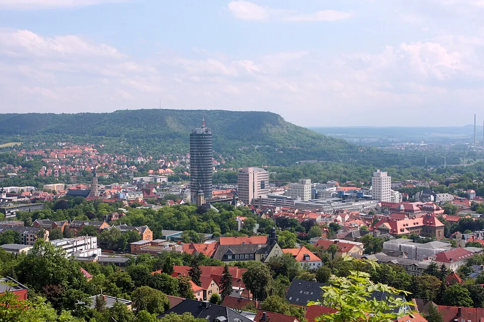
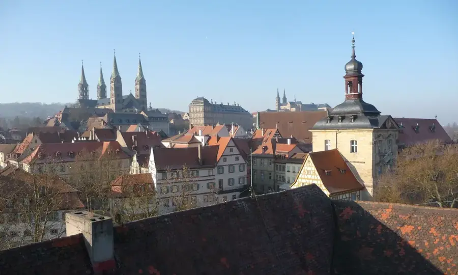
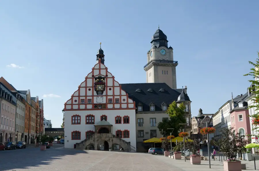
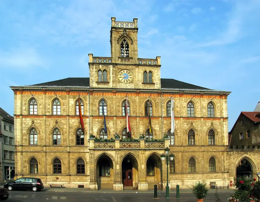
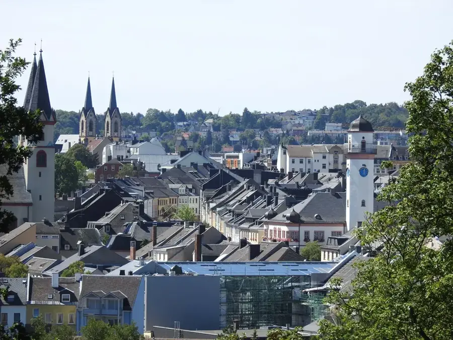
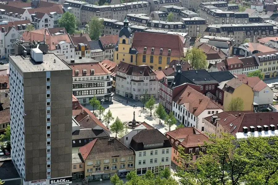
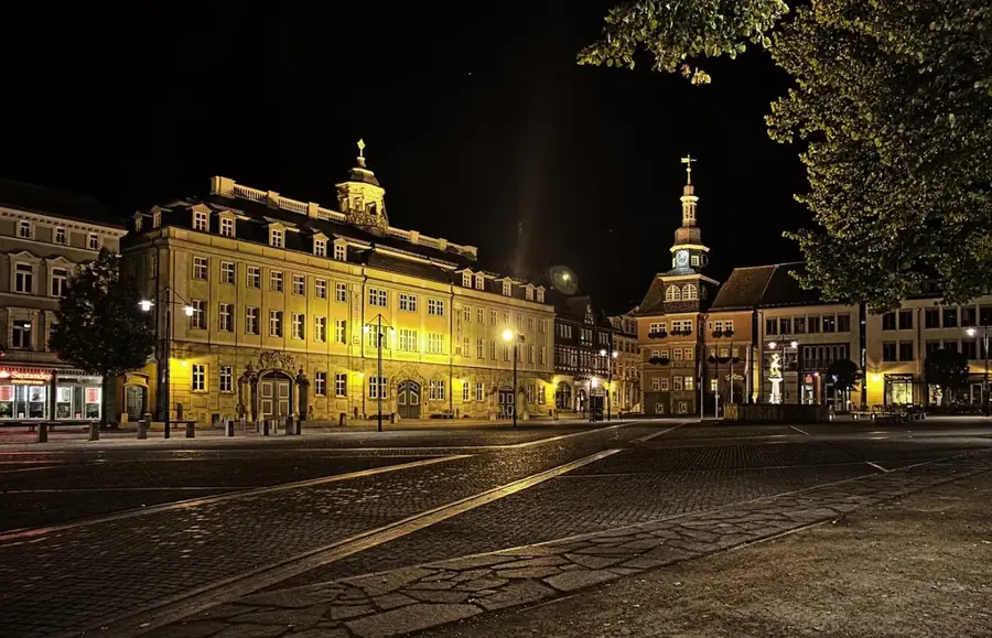
The Saale River, with a total length of approximately 413 kilometers, is one of the most significant tributaries of the Elbe and plays a crucial role in shaping the landscape of Central Germany. Its source is located in the Fichtel Mountains of Bavaria at the foot of the Großer Waldstein, from where it flows through Bavaria, Thuringia, and Saxony-Anhalt. The upper reaches in the Thuringian Slate Mountains are particularly notable, where the river is regulated by the Saale Cascade, one of Europe's largest interconnected reservoir systems. Along its course, the Saale passes through major cultural cities such as Jena, Naumburg, and Halle before joining the Elbe near Barby. The middle Saale Valley is famous for its steep limestone cliffs and the vineyards of the Saale-Unstrut wine region. Historically, the river served as an essential transport route and border line, and today it is a central element for tourism and regional water management.
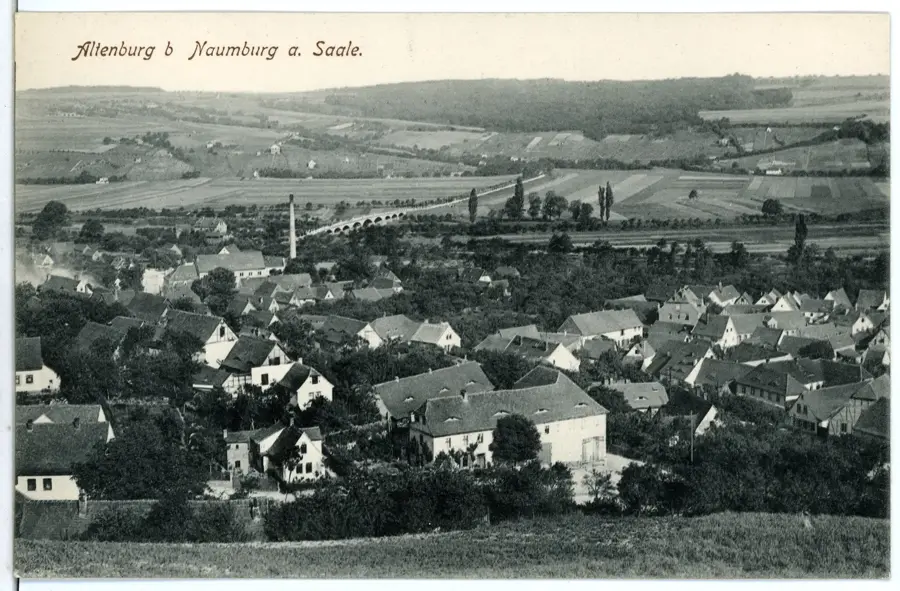
- Location: Thuringia, Germany
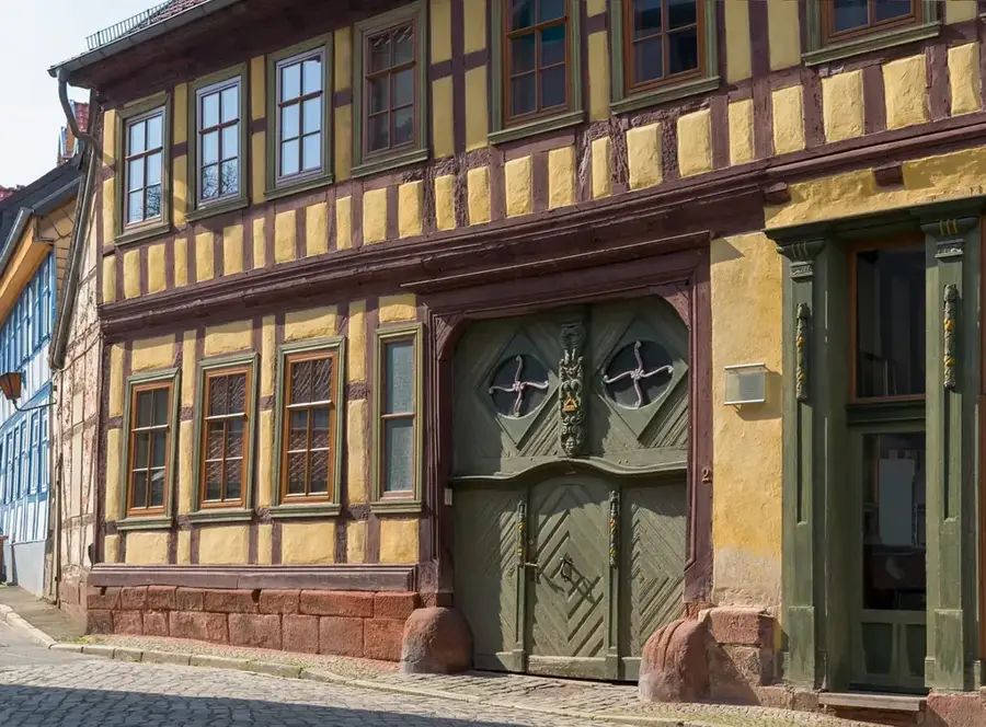
- Top sights: St. Vitus · Dorfkirche · Weiderutenpalast
- Nearby: Bad Sulza (5 km)
Best time to visit & climate
The most pleasant time to visit is Jun–Aug.
| Jan | Feb | Mar | Apr | May | Jun | Jul | Aug | Sep | Oct | Nov | Dec | |
|---|---|---|---|---|---|---|---|---|---|---|---|---|
| Avg °C | -1 | 0 | 4 | 9 | 13 | 17 | 19 | 19 | 14 | 9 | 4 | 0 |
| Rain mm | 51 | 37 | 44 | 35 | 68 | 60 | 77 | 61 | 56 | 48 | 54 | 54 |
📋 Practical info
Geography
Facts
- The Saale is 413 kilometers long and drains an area of 24,100 km².
- The famous Giebichenstein Castle in Halle is located on its banks.
- The Saale-Unstrut region is Germany's northernmost quality wine-growing area.
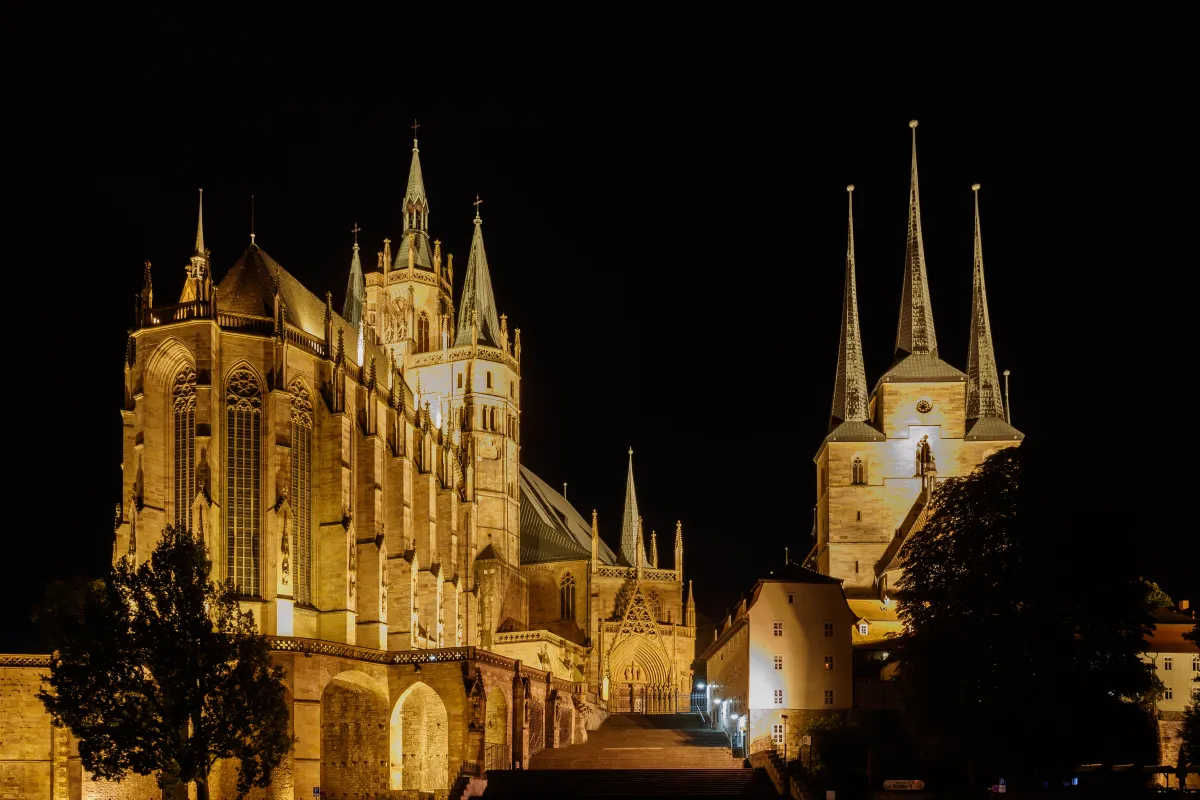
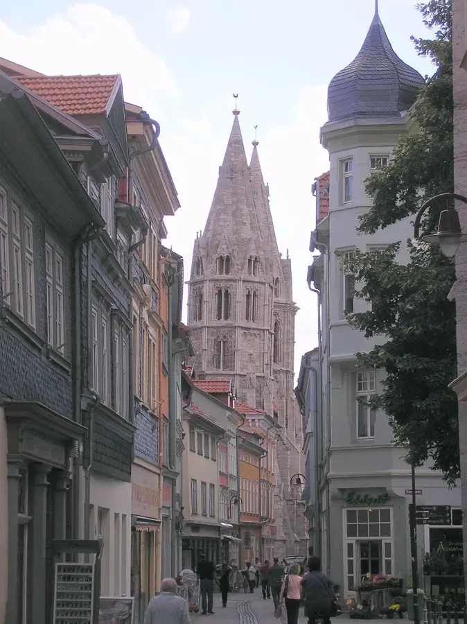
- The river passes the UNESCO-protected Naumburg Cathedral near Naumburg.
- The Saale Cascade reservoir system consists of five consecutive dams.
- In the Middle Ages, the Saale periodically marked the border with Slavic settlements.
Explore nearby
Notable places around
Route planner — Car & Motorhome
Where do you start? We build the route here, with stops and country notes along the way.
© OpenStreetMap contributors · OpenRouteService
Sights in the town Saale River (10)
Burgenland
Theme park focusing on castles and history.
DinoWelt Wäldchen
Theme park with dinosaur models in the woods.
Eckartsburg🏰 castle
Castle ruin in Eckartsberga, Saxony-Anhalt, medieval fortification.
Vier Linden
Viewpoint with four lime trees, overlooking the Saale valley.
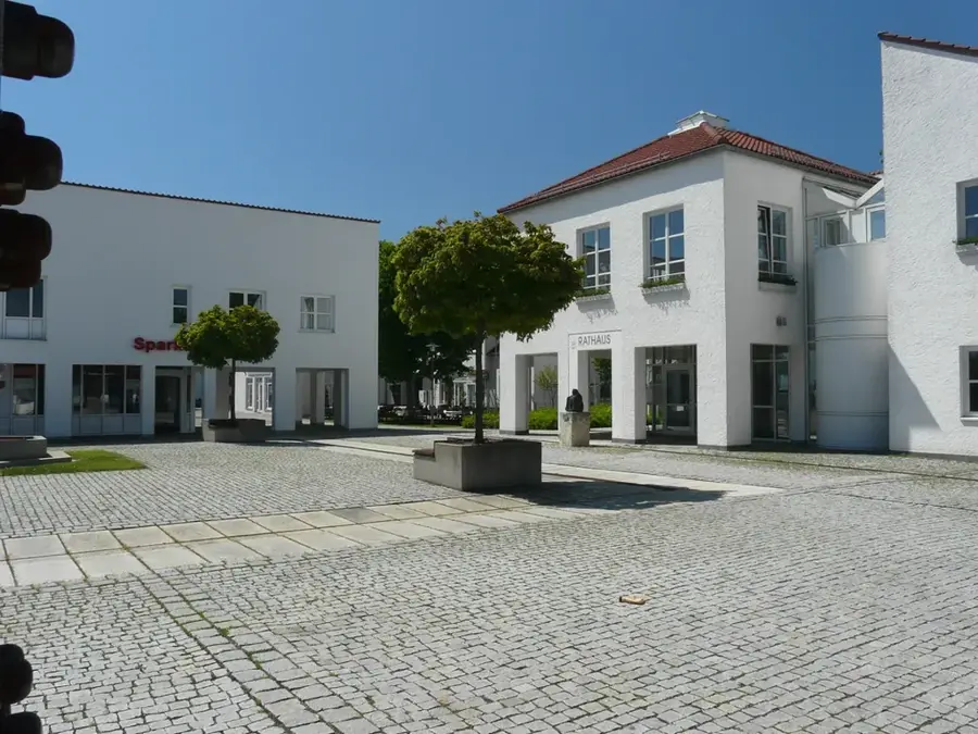
Verbandsgemeinde An der Finne - Aussenstelle Eckartsberga
Building, administrative office of the municipal association.
Sankt Vitus
Church building in Germany, dedicated to Saint Vitus.
Sights nearby
Frequently asked questions
Where does the Saale source?
Can you go canoeing on the Saale?
Is there a cycle path along the Saale?
Which famous castles are located on the Saale?
How long is the Saale?
Saale River: where is it located?
Saale River: what is there to see?
Saale River: when is the best time to visit?
Saale River: why is it worth visiting?

Nearby cities