Plizio Visual Lab
Helgoland
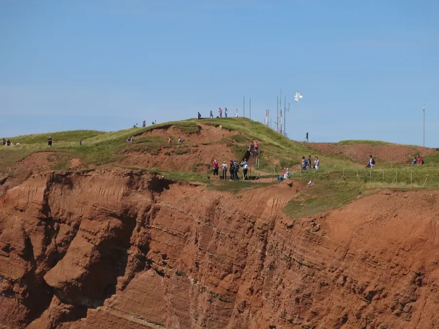
Heligoland is Germany's only high-sea island, located approximately 70 kilometers off the mouth of the Elbe River in the German Bight. The island consists of the main plateau characterized by striking red sandstone cliffs and the neighboring bathing dune, which was severed by a storm surge in 1721. Historically, Heligoland was a strategic bone of contention between Denmark, Great Britain, and Germany for centuries until it was ceded to the German Empire in 1890 under the Heligoland-Zanzibar Treaty. Its most famous landmark is the 'Lange Anna,' a 47-meter-high free-standing rock stack on the island's northwestern edge. Following World War II, the island narrowly escaped total destruction during the British 'Operation Big Bang,' the largest non-nuclear detonation in history intended to dismantle military bunkers. Today, Heligoland is a vital center for marine biology research and an important bird sanctuary where rare species like gannets and guillemots breed. Due to its duty-free status, the island is a popular destination for day trippers, while its mild offshore climate is renowned for treating respiratory conditions.
- Location: Schleswig-Holstein, Germany
- Top sights: Südstrand · Kringelstrand · Nordstrand
- Nearby: Wangerooge (43 km)
Best time to visit & climate
The most pleasant time to visit is Jul–Sep.
| Jan | Feb | Mar | Apr | May | Jun | Jul | Aug | Sep | Oct | Nov | Dec | |
|---|---|---|---|---|---|---|---|---|---|---|---|---|
| Avg °C | 4 | 3 | 5 | 8 | 12 | 15 | 18 | 18 | 16 | 12 | 9 | 5 |
| Rain mm | 83 | 66 | 56 | 40 | 55 | 68 | 84 | 89 | 77 | 87 | 85 | 87 |
📋 Practical info
Geography
Facts
- The main island of Heligoland covers an area of only about 1.0 square kilometer.
- The highest point on the island is 61 meters above sea level.
- The rock stack Lange Anna is estimated to weigh around 25,000 tons.
- The 1947 detonation involved 6,700 tons of high explosives.
- Cars are banned on Heligoland, and tourists are not permitted to use bicycles.
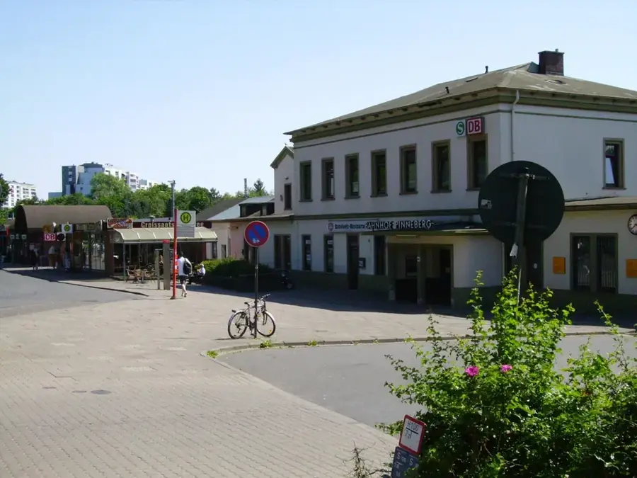
- Heligoland is part of the Pinneberg district in the state of Schleswig-Holstein.
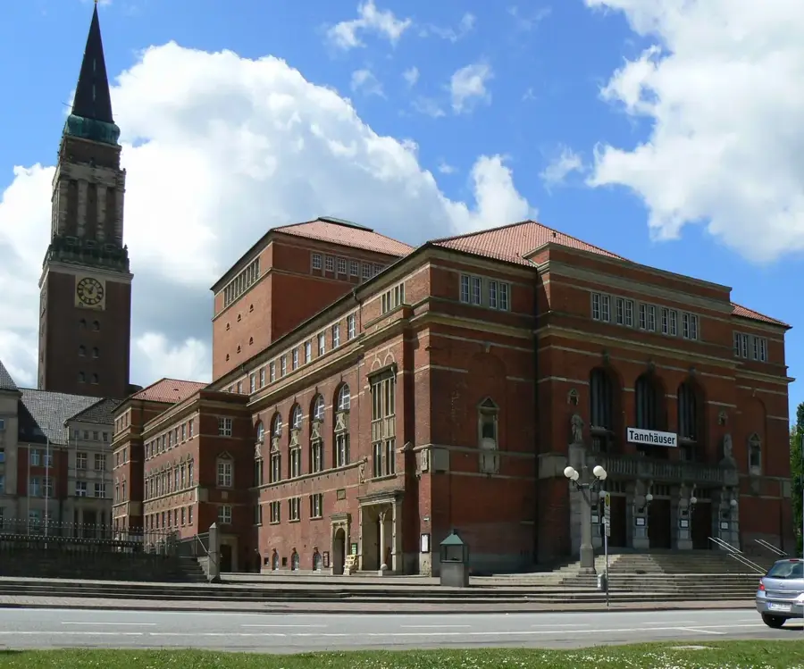
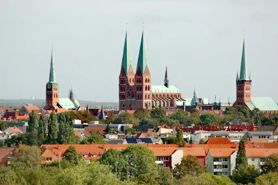
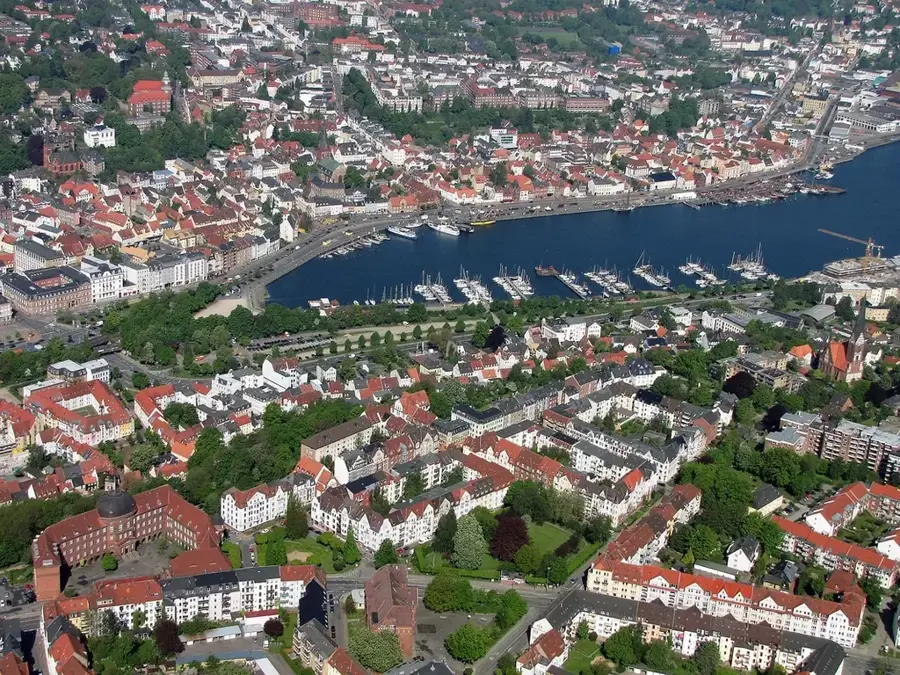
Explore nearby
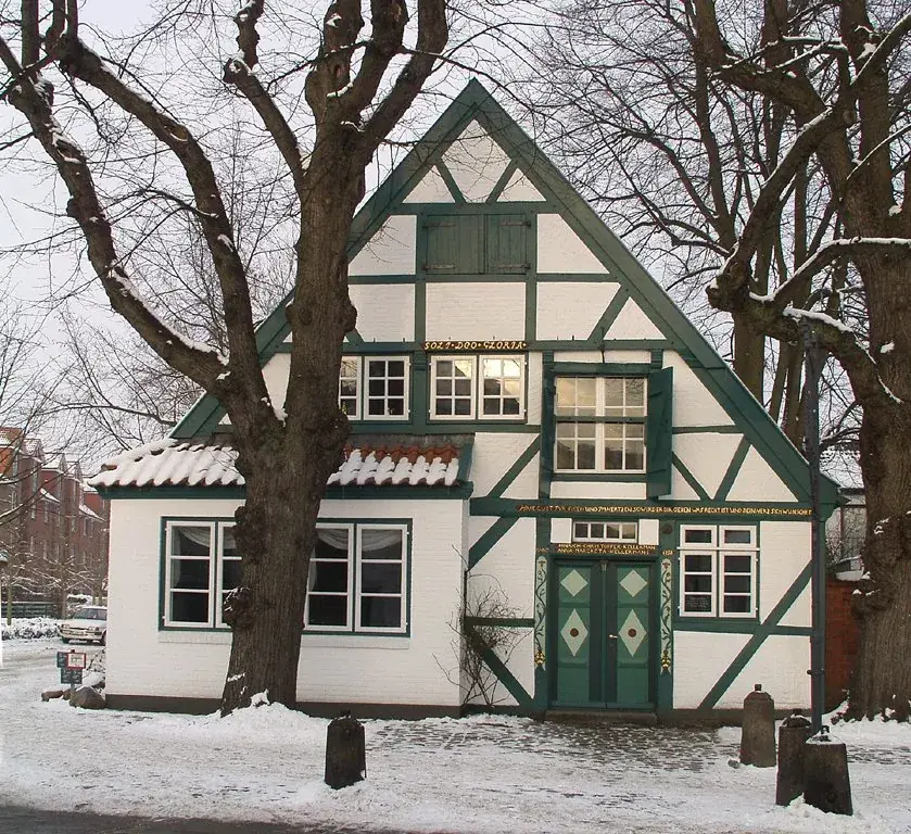
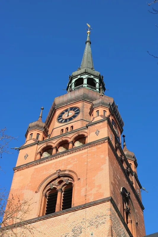
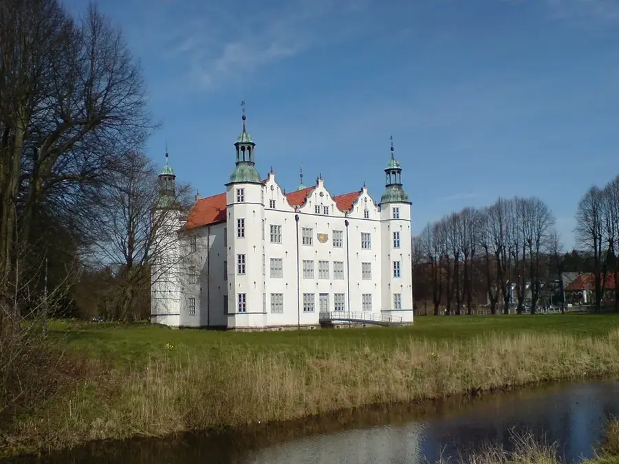
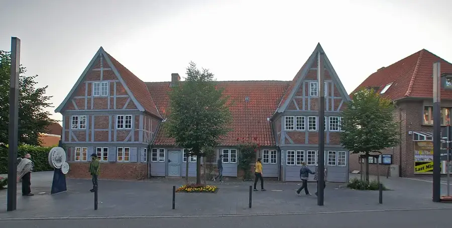
Notable places around
Route planner — Car & Motorhome
Where do you start? We build the route here, with stops and country notes along the way.
© OpenStreetMap contributors · OpenRouteService
Sights in the town Helgoland (10)
Sights nearby
Frequently asked questions
Can I take my car to Helgoland?
What is the best way to get to the island?
Is shopping on Helgoland really duty-free?
Where can I see the gray seals?
What is the Lange Anna?
Helgoland: where is it located?
Helgoland: what is there to see?
Helgoland: when is the best time to visit?
Helgoland: why is it worth visiting?

Nearby cities