Plizio Visual Lab
Harz
Weather…
Water temperature…
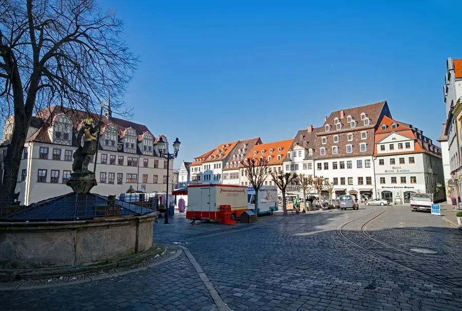
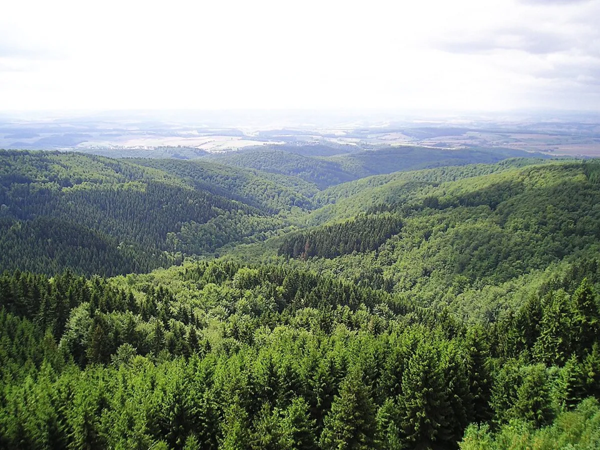
The Harz is Germany's northernmost low mountain range, spanning the states of Lower Saxony, Saxony-Anhalt, and Thuringia. It is approximately 110 kilometers long and up to 40 kilometers wide. Its highest peak is the Brocken at 1,141 meters, which is legendary due to its exposed position and frequent fog, often associated with tales of witches and folklore. Historically, the Harz was one of Europe's most significant mining regions, particularly for silver, copper, and lead; the Rammelsberg mine is now a UNESCO World Heritage site. Geologically, the mountains consist of a complex mixture of granite, slate, and graywacke. The Harz National Park, formed in 2006 by merging two existing parks, protects vast stretches of spruce and beech forests. The Harz Narrow Gauge Railways, with a network exceeding 140 kilometers, are a technical highlight of the region. Today, the Harz is a vital year-round tourist destination for hiking, skiing, and cultural exploration.
- Location: Saxony-Anhalt, Germany
- Top sights: Sandbrinkklippen · Kanzelklippe · Rabenklippe
- Nearby: Braunlage (5 km)
Best time to visit & climate
The most pleasant time to visit is Jun–Aug.
| Jan | Feb | Mar | Apr | May | Jun | Jul | Aug | Sep | Oct | Nov | Dec | |
|---|---|---|---|---|---|---|---|---|---|---|---|---|
| Avg °C | 0 | 1 | 4 | 9 | 13 | 16 | 19 | 18 | 14 | 9 | 5 | 1 |
| Rain mm | 68 | 45 | 50 | 38 | 66 | 61 | 85 | 63 | 58 | 56 | 61 | 67 |
📋 Practical info
Geography
Facts
- The Brocken is northern Germany's highest mountain at 1,141 meters.
- Harz Narrow Gauge Railways operate 25 steam locomotives regularly.
- Rammelsberg mine was in continuous operation for over 1,000 years.
- Harz National Park covers approximately 24,700 hectares of land.
- Goethe climbed the Brocken three times in total (first in 1777).
- Upper Harz Water Regale is the largest pre-industrial dam system.
Explore nearby
Notable places around
Route planner — Car & Motorhome
Where do you start? We build the route here, with stops and country notes along the way.
© OpenStreetMap contributors · OpenRouteService
Sights in the town Harz (10)
Rabenklippe
Rabenklippe is a cliff about 1000 m south of the Brocken in the municipality of Wernigerode.
Wurmberg-Murmelbahn
Wurmberg-Murmelbahn is a summer toboggan run on the Wurmberg mountain.
Stangenklippe
Stangenklippe is a cliff in the Harz. It is located in a forested area.
Schluftkopf
Schluftkopf is a peak in the Harz. It is situated near Braunlage.
Bodesprung
Bodesprung is a spring in the Harz. The river Bode originates here.
Wurmberg
Wurmberg is a mountain in the Harz. It is a popular hiking destination.
NSG Wurmberg
NSG Wurmberg is a nature reserve in the Harz. It protects the environment around Wurmberg.
Wurmbergturm🗼 tower
Wurmbergturm is an observation tower on top of the Wurmberg. It features a panoramic view.
Sights nearby
Frequently asked questions
How do you get to the summit of the Brocken?
What do witches have to do with the Harz?
What is the Harz Witches' Trail?
Can you go underground in the Harz?
Where is the longest suspension bridge?
Harz: where is it located?
Harz: what is there to see?
Harz: when is the best time to visit?
Harz: why is it worth visiting?

Nearby cities