Plizio Visual Lab
Harz
Hava durumu…
Su sıcaklığı…
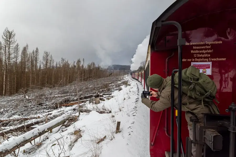
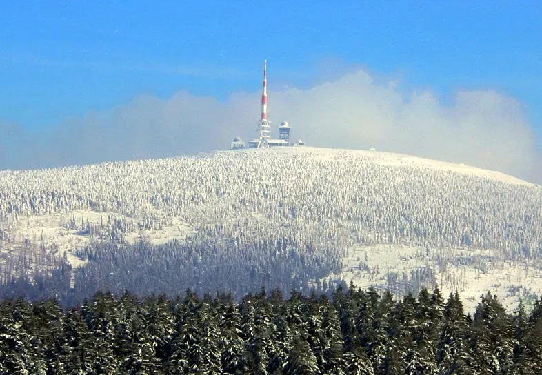
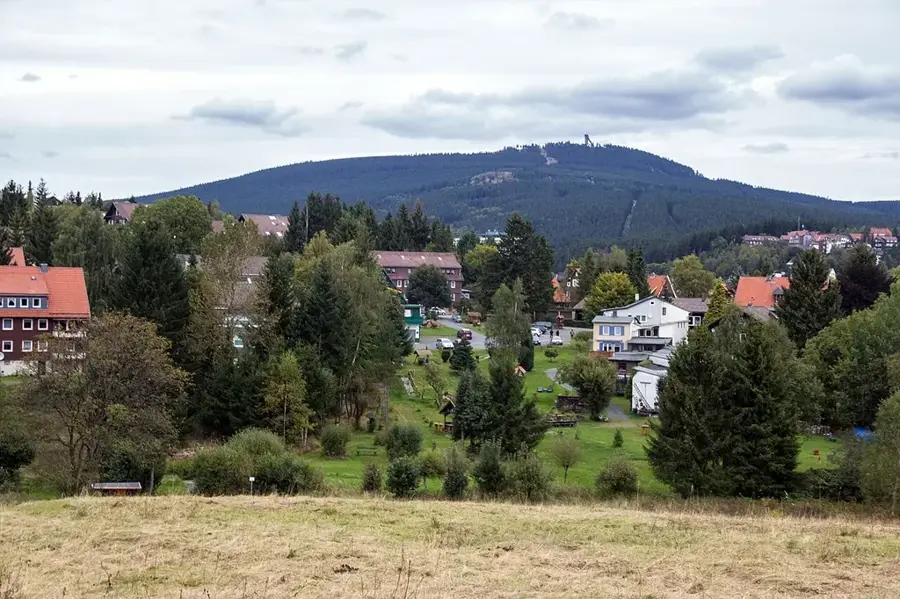
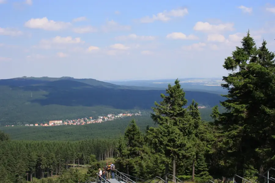
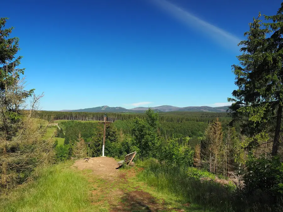
Harz, Deutschland'ın en kuzeydeki orta dağ silsilesidir ve Niedersachsen, Sachsen-Anhalt ve Thüringen eyaletlerine yayılır. Yaklaşık 110 kilometre uzunluğa ve 40 kilometreye kadar genişliğe sahiptir. En yüksek zirve, konumu ve sık sis oluşumu nedeniyle efsanelere konu olan ve cadı efsaneleriyle ilişkilendirilen 1.141 metrelik Brocken'dir. Tarihsel olarak Harz, gümüş, bakır ve kurşun için Avrupa'nın en önemli madencilik bölgelerinden biriydi; Rammelsberg madeni bugün UNESCO Dünya Mirası listesindedir. Jeolojik olarak dağ silsilesi Granit, Şist ve Grauvacke karışımından oluşan karmaşık bir yapıdadır. 2006 yılında kurulan Nationalpark Harz, geniş ladin ve kayın ormanlarını korumaktadır. 140 kilometreden uzun bir demir yolu ağı olan Harzer Schmalspurbahnen, bölgenin teknik bir özelliğidir. Bugün Harz, yürüyüş ve kış sporları için önemli bir tüm yıl turizm bölgesidir.
Haritada keşfet
Almanya hakkında ne kadar bilgilisin?
Etkileşimli haritada 10 çeşitli zorlukta şehirleri, manzaraları ve bölgeleri bul.
Seyahatin, senin anın
Harz’den bir kartpostal
Kendi fotoğrafını yerel posta puluyla kişisel bir kartpostala çevir. Ücretsiz ve kayıt gerektirmez.
Kartpostal oluştur- Konum: Sachsen-Anhalt, Almanya
- Öne çıkanlar: Sandbrinkklippen · Kanzelklippe · Rabenklippe
- Yakınlar: Braunlage (5 km)
En iyi ziyaret zamanı & iklim
En keyifli dönem: Haz–Ağu.
| Oca | Şub | Mar | Nis | May | Haz | Tem | Ağu | Eyl | Eki | Kas | Ara | |
|---|---|---|---|---|---|---|---|---|---|---|---|---|
| Ort. °C | 0 | 1 | 4 | 9 | 13 | 16 | 19 | 18 | 14 | 9 | 5 | 1 |
| Yağmur mm | 68 | 45 | 50 | 38 | 66 | 61 | 85 | 63 | 58 | 56 | 61 | 67 |
📋 Pratik bilgiler
Coğrafya
Gerçekler
- Brocken 1.141 metre ile Kuzey Deutschland'ın en yüksek dağıdır.
- Harzer Schmalspurbahnen düzenli olarak 25 buharlı lokomotif işletmektedir.
- Rammelsberg madeni 1.000 yıldan fazla bir süre kesintisiz işletilmiştir.
- Nationalpark Harz yaklaşık 24.700 hektarlık bir alanı kapsar.
- Goethe, Brocken'e toplam üç kez çıkmıştır (ilk kez 1777).
- Oberharzer Wasserregal, sanayi öncesi en büyük baraj sistemi olarak kabul edilir.
Yakınları keşfet
Çevredeki dikkat çekici yerler
Rota planlayıcı — Araba & Karavan
Nereden başlıyorsunuz? Burada rota oluşturuyoruz, yol boyunca duraklar ve ülke notları ile.
© OpenStreetMap contributors · OpenRouteService
Kasabadaki görülecek yerler Harz (10)
Rabenklippe
Rabenklippe, Wernigerode belediyesinde Brocken'in yaklaşık 1000 m güneyinde bir kayalık uçurumdur.
Wurmberg-Murmelbahn
Wurmberg-Murmelbahn, Wurmberg dağında yaz sezonunda kullanılan bir kızak pistidir.
Stangenklippe
Stangenklippe, Harz'de ormanlık alanda yer alan bir uçurumdur.
Schluftkopf
Schluftkopf, Harz'de Braunlage yakınlarında bulunan bir zirvedir.
Bodesprung
Bodesprung, Harz'de bir kaynaktır. Bode Nehri buradan doğar.
Wurmberg
Wurmberg, Harz'de bir dağdır. Popüler bir yürüyüş rotasıdır.
NSG Wurmberg
NSG Wurmberg, Wurmberg çevresini koruyan Harz'de bir doğa koruma alanıdır.
Wurmbergturm🗼 kule
Wurmbergturm is an observation tower on top of the Wurmberg. It offers a panoramic view.
Çevredeki gezilecek yerler
Sıkça sorulan sorular
Brocken zirvesine nasıl çıkılır?
Cadılarla Harz'ın ne ilgisi var?
Harz Cadı Yolu nedir?
Harz'da yeraltına inilebilir mi?
En uzun asma köprü nerede?
Harz: nerede yer alıyor?
Harz: gezilecek yerler neler?
Harz: en iyi ziyaret zamanı ne zaman?
Harz: neden ziyaret edilmeye değer?

Yakındaki şehirler