Plizio Visual Lab
Ems
Weather…
Water temperature…
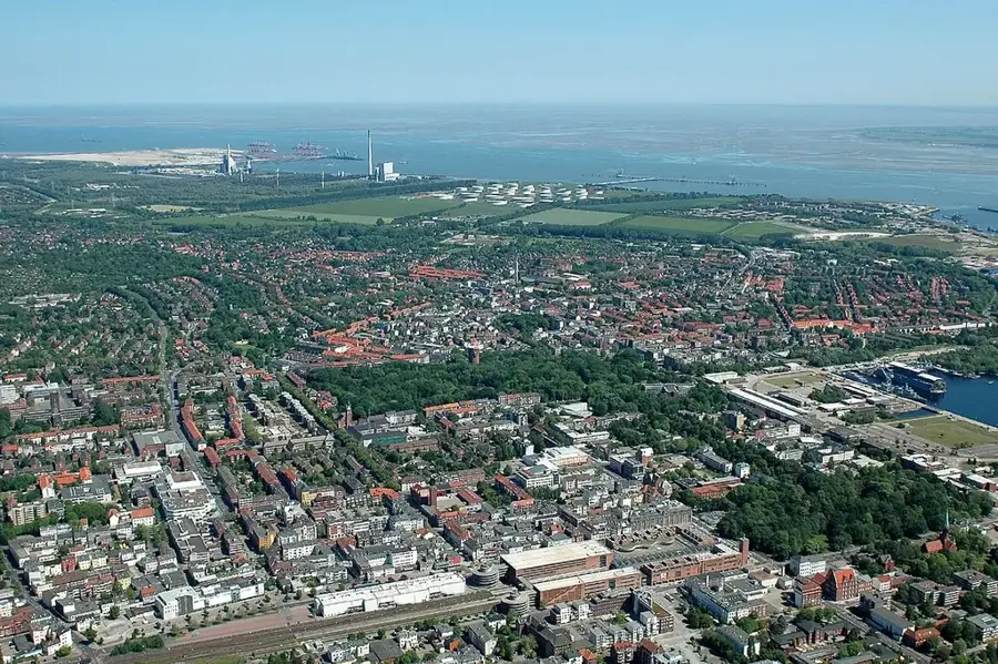
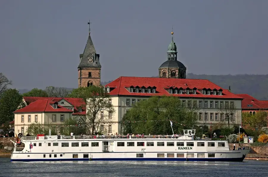
The Ems is a significant river in northwestern Germany, flowing approximately 371 kilometers from its source in the Senne region near Schloß Holte-Stukenbrock to its estuary in the North Sea. The river traverses the federal states of North Rhine-Westphalia and Lower Saxony, playing a crucial role in shaping the landscapes of Emsland and East Friesland. Historically, the Ems served as a vital trade route, leading to the establishment of numerous towns along its banks. The river gained unique technical and economic importance due to the Meyer Werft shipyard in Papenburg; to allow the passage of massive cruise ships built there, the river must be periodically dammed using the Ems Barrier near Gandersum. Ecologically, the Dollart estuary is of great significance as part of the Wadden Sea National Park. Despite extensive modifications for commercial shipping, contemporary efforts are increasingly focused on renaturation projects to improve water quality and restore local biodiversity.
- Location: Lower Saxony, Germany
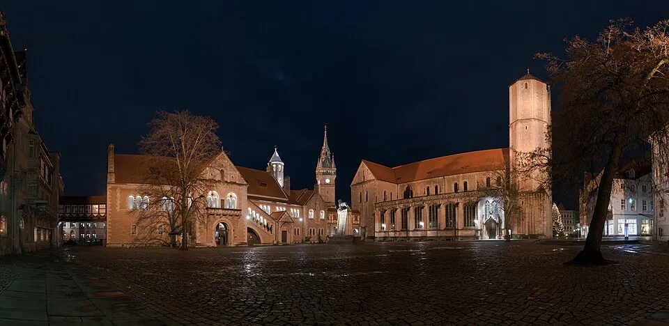
- Top sights: Großsteingrab bei den Düvelskuhlen 1 · Großsteingrab bei den Düvelskuhlen 2 · Wahrsteene
- Nearby: Haselünne (15 km)
Best time to visit & climate
The most pleasant time to visit is Jun–Aug.
| Jan | Feb | Mar | Apr | May | Jun | Jul | Aug | Sep | Oct | Nov | Dec | |
|---|---|---|---|---|---|---|---|---|---|---|---|---|
| Avg °C | 2 | 2 | 5 | 9 | 13 | 16 | 18 | 18 | 15 | 10 | 6 | 3 |
| Rain mm | 76 | 59 | 52 | 38 | 56 | 63 | 78 | 79 | 61 | 65 | 69 | 76 |
📋 Practical info
Geography
Facts
- The total length of the river is approximately 371 kilometers.
- The source is located in the Senne at 129 meters above sea level.
- The Ems Barrier near Gandersum was completed in 2002.
- The Meyer Werft shipyard uses the river to transport ocean liners.
- The Ems flows into the Dollart and then into the North Sea.
- The Dortmund-Ems Canal runs parallel to parts of the river.
Explore nearby
Notable places around
Route planner — Car & Motorhome
Where do you start? We build the route here, with stops and country notes along the way.
© OpenStreetMap contributors · OpenRouteService
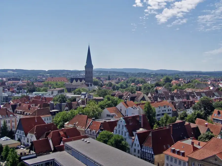
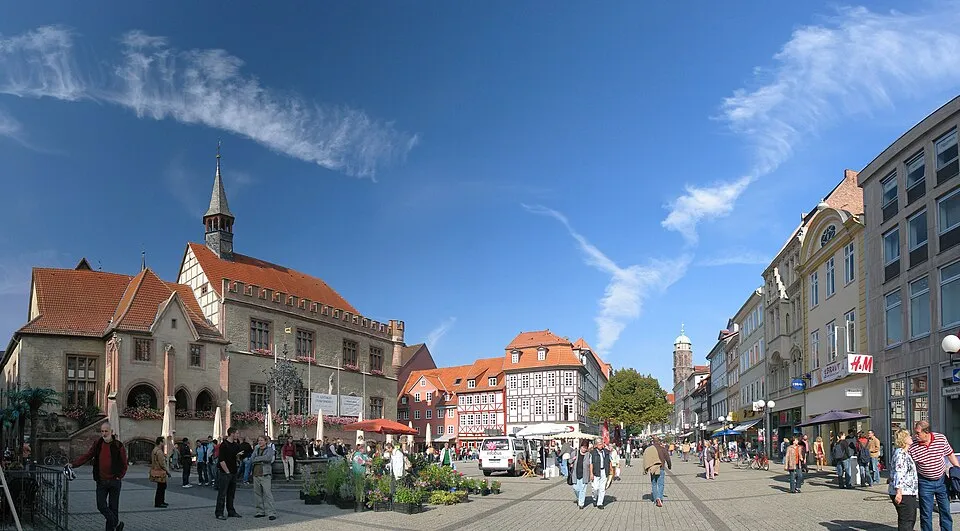
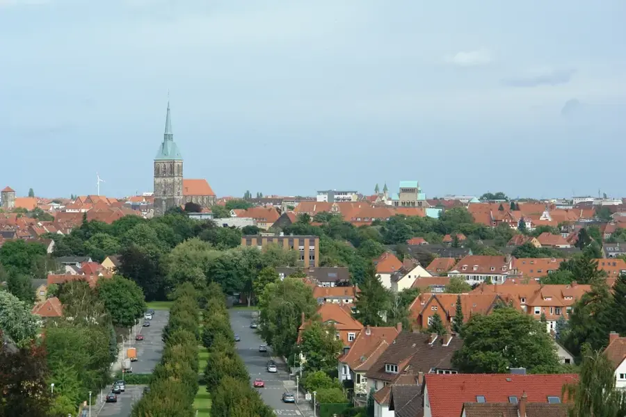
Sights in the town Ems (4)
Sights nearby
Frequently asked questions
Where does the Ems river originate?
What is the Meyer Werft in Papenburg?
Is there a cycle path along the Ems?
How are cruise ships brought to the sea?
What is the Ems barrier (Emssperrwerk)?
Ems: where is it located?
Ems: what is there to see?
Ems: when is the best time to visit?
Ems: why is it worth visiting?

Nearby cities