Plizio Visual Lab
Rhön (Hesse)
Weather…
Water temperature…
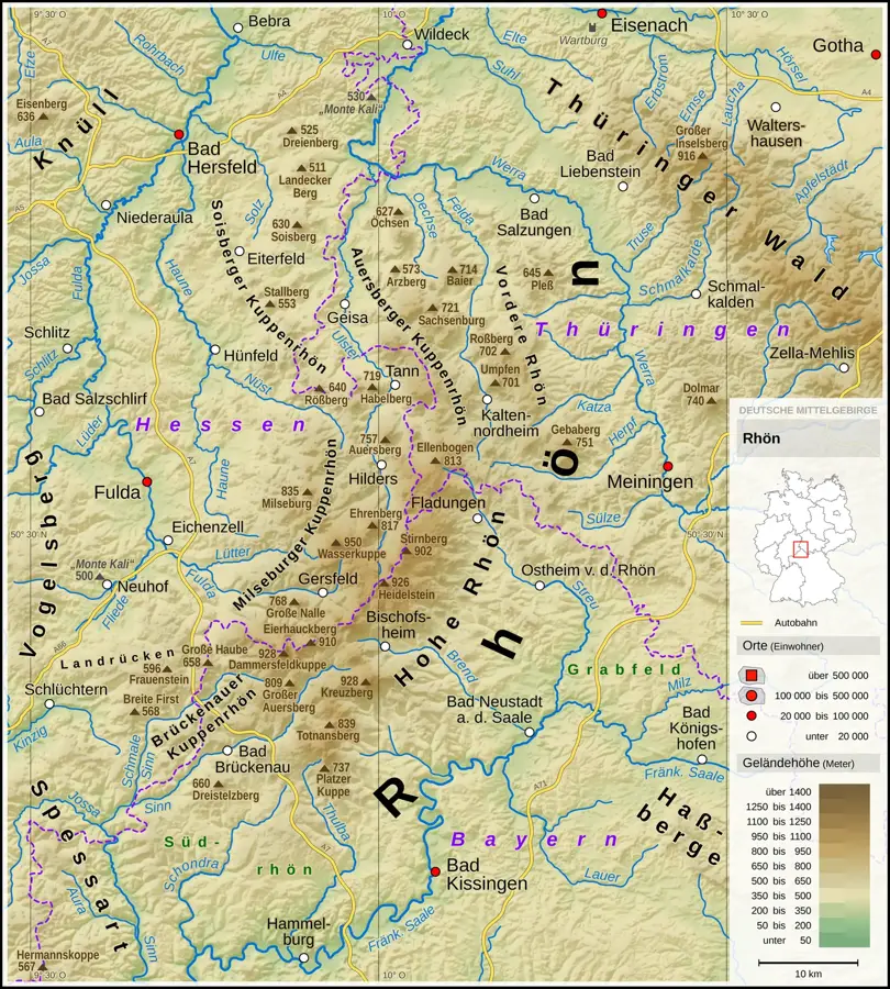
The Rhön is a low mountain range in central Germany, located at the border of Hesse, Bavaria, and Thuringia, shaped by volcanic activity millions of years ago. Since 1991, the region has been recognized as a UNESCO Biosphere Reserve to protect its unique cultural landscape and biodiversity. The Wasserkuppe, reaching 950 meters, is the highest peak in Hesse and is world-renowned as the cradle of gliding. The Rhön is characterized by vast, treeless plateaus, earning it the nickname Land of Open Distances. Geologically, the range consists of basalt domes that testify to past volcanic eruptions. In addition to tourism, extensive agriculture, particularly the rearing of the Rhön sheep, is crucial for maintaining the valuable nutrient-poor grasslands. Hiking trails like the Hochrhöner provide access to the region for nature enthusiasts and offer spectacular views across the Hessian highlands.
- Location: Hesse, Germany
- Top sights: Eube · Pferdskopf · Erlebnisfernrohr VIScope
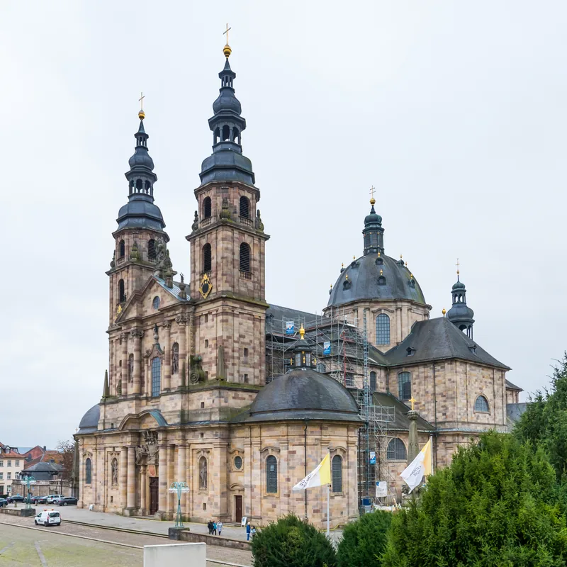
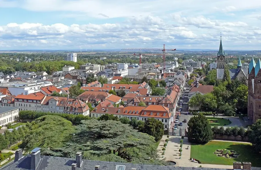
- Nearby: Fulda (20 km)
Best time to visit & climate
The most pleasant time to visit is Jun–Aug.
| Jan | Feb | Mar | Apr | May | Jun | Jul | Aug | Sep | Oct | Nov | Dec | |
|---|---|---|---|---|---|---|---|---|---|---|---|---|
| Avg °C | -1 | -1 | 3 | 8 | 12 | 16 | 18 | 18 | 14 | 8 | 4 | 0 |
| Rain mm | 72 | 53 | 56 | 44 | 80 | 66 | 82 | 71 | 57 | 60 | 68 | 75 |
📋 Practical info
Geography
Facts
- Designated as a UNESCO Biosphere Reserve in 1991.
- The Wasserkuppe is the highest peak in Hesse at 950 meters.
- Formed approximately 25 million years ago by volcanic activity.
- Around 1,500 km of marked hiking trails crisscross the region.
- The Rhön extends across Hesse, Bavaria, and Thuringia.
- The Rhön sheep is a protected domestic breed of the region.
Explore nearby
Notable places around
Route planner — Car & Motorhome
Where do you start? We build the route here, with stops and country notes along the way.
© OpenStreetMap contributors · OpenRouteService
Sights in the town Rhön (Hesse) (10)
Erlebnisfernrohr VIScope
Erlebnisfernrohr VIScope is a viewpoint in the Rhön.
Wasserkuppe
Wasserkuppe is the highest mountain in the Rhön and the highest point in Hesse.
Radom
Radom gives a very good panoramic view from the observation platform below the dome.
Fuldaquelle
Fuldaquelle is the source of the river Fulda in the Rhön.
Schneeberg
Schneeberg is a mountain in Hesse, near Gersfeld-Sandberg.
Burgruine Schneeberg
Burgruine Schneeberg is a castle ruin in the Rhön.
Deutsches Segelflugmuseum mit Modellflug Wasserkuppe🏛 museum
Deutsches Segelflugmuseum displays gliders and model flying on the Wasserkuppe.
Holzkugelbahn
Holzkugelbahn is a wooden ball track attraction in the Rhön.
Sights nearby
Frequently asked questions
What is the highest mountain in the Rhon?
Why is the Rhon called 'Land of open distances'?
Is the Rhon good for hiking?
What is the Black Moor (Schwarzes Moor)?
Are there special animals in the Rhon?
Rhön (Hesse): where is it located?
Rhön (Hesse): what is there to see?
Rhön (Hesse): when is the best time to visit?
Rhön (Hesse): why is it worth visiting?

Nearby cities