Plizio Visual Lab
Historic Acelhuate Bridge
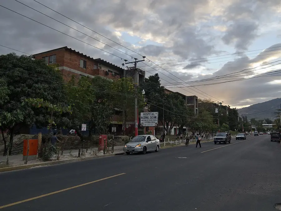
The historic bridge over the Acelhuate River in San Salvador, often referred to as the 'Bridge of History' or 'Puente de Agua Caliente,' is a significant 19th-century engineering landmark. The Acelhuate River was historically the lifeblood of San Salvador's early settlement, providing water and a natural boundary for the growing city. The construction of the bridge was a major undertaking aimed at improving connectivity between the capital and the northern territories of the country. Architecturally, the bridge features robust stone arches designed to withstand the turbulent currents of the river during the intense tropical rainy seasons. Over the centuries, it has served as a silent observer of San Salvador's expansion and the social changes that have swept through the metropolitan area. While the river itself currently faces environmental challenges, the bridge remains a symbol of the nation's post-independence infrastructural development. Historical markers at the site highlight its importance for trade and military movements in earlier eras. The bridge stands as a link between the city's colonial roots and its modern industrial identity.
- Location: El Salvador
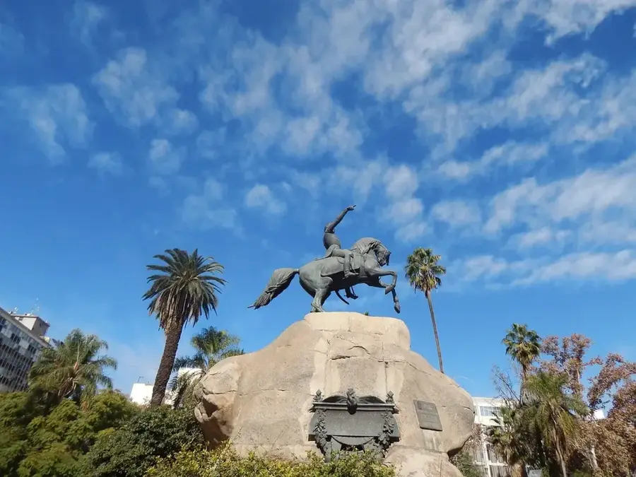
- Top sights: Government Center Tower (San Salvador) · Cemetery of Distinguished Citizens
- Nearby: Antiguo Cuscatlán (5 km)
Best time to visit & climate
The most pleasant time to visit is Jan, Nov, Dec.
| Jan | Feb | Mar | Apr | May | Jun | Jul | Aug | Sep | Oct | Nov | Dec | |
|---|---|---|---|---|---|---|---|---|---|---|---|---|
| Avg °C | 27 | 28 | 29 | 29 | 28 | 27 | 28 | 27 | 26 | 26 | 26 | 26 |
| Rain mm | 3 | 4 | 6 | 32 | 169 | 193 | 155 | 198 | 234 | 204 | 41 | 10 |
📋 Practical info
Geography
Facts
- The bridge was constructed during the second half of the 19th century.
- The Acelhuate River flows for approximately 27 kilometers through the valley.
- It historically served as the primary gateway to the northern regions of El Salvador.
- The stone arch design is typical of late 19th-century public works in the region.
- The name 'Agua Caliente' refers to the thermal springs located nearby.
- The bridge structure has successfully endured multiple major earthquakes.
Explore nearby
Notable places around
Route planner — Car & Motorhome
Where do you start? We build the route here, with stops and country notes along the way.
© OpenStreetMap contributors · OpenRouteService
Sights in the town Historic Acelhuate Bridge (2)
Sights nearby
Frequently asked questions
Is the historic Acelhuate Bridge a tourist highlight?
How long does a visit to the bridge take?
Is it safe to explore the area around the bridge?
Are there parking spaces nearby?
Are there restaurants nearby?
Historic Acelhuate Bridge: where is it located?
Historic Acelhuate Bridge: what is there to see?
Historic Acelhuate Bridge: when is the best time to visit?
Historic Acelhuate Bridge: why is it worth visiting?

Nearby cities


History & landmarks


More places