Plizio Visual Lab
Francisco del Rosario Sánchez Bridge
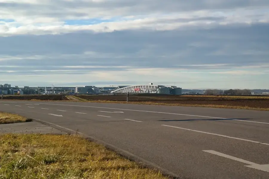
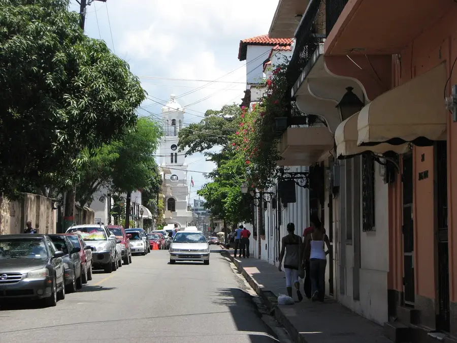
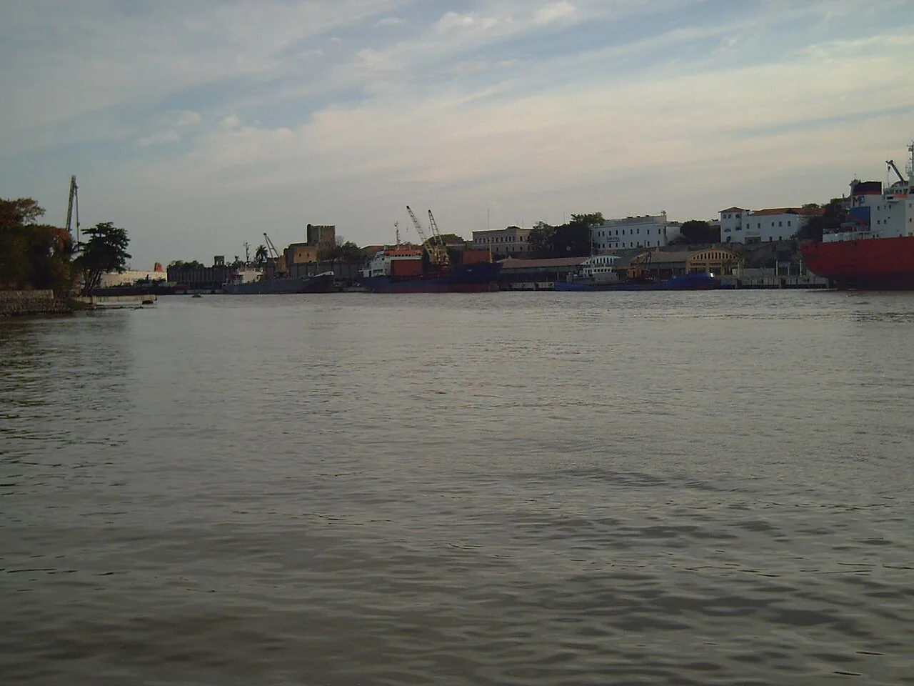
The Francisco del Rosario Sánchez Bridge, commonly known as 'Puente de la 17', is one of the most critical transportation links in Santo Domingo. It spans the Ozama River, connecting the National District with the densely populated eastern sectors of the city, specifically Santo Domingo Este. The bridge was constructed in the 1970s to accommodate rapid urban growth and increasing vehicular traffic demand. It is named after Francisco del Rosario Sánchez, one of the founding fathers of the Dominican Republic, highlighting its national significance. The structure is a steel truss bridge, noted for its robustness and characteristic lattice design. Tens of thousands of commuters use the bridge daily, making it a vital artery for the economic and social life of the metropolitan area. Despite its age, it remains a prominent landmark in the city's skyline over the Ozama River, witnessing decades of urban evolution.
- Location: Dominican Republic
- Top sights: Centro Abreu · Eduardo Brito metro station · Shooting of David Ortiz
- Nearby: Santo Domingo Norte (7 km)
Best time to visit & climate
The most pleasant time to visit is Jan–Mar.
| Jan | Feb | Mar | Apr | May | Jun | Jul | Aug | Sep | Oct | Nov | Dec | |
|---|---|---|---|---|---|---|---|---|---|---|---|---|
| Avg °C | 25 | 25 | 25 | 26 | 27 | 27 | 28 | 28 | 28 | 27 | 26 | 25 |
| Rain mm | 24 | 21 | 22 | 40 | 68 | 48 | 55 | 68 | 60 | 64 | 68 | 42 |
📋 Practical info
Geography
Facts
- Connects the neighborhoods of Gualey and Ensanche Ozama.
- Inaugurated in 1974 during the administration of Joaquín Balaguer.
- The nickname 'Puente de la 17' refers to the 17th street that leads to it.
- The bridge has a total length of approximately 520 meters.
- Constructed using massive steel beams in a truss configuration.
- Plays a central role in the capital's public transportation network.
Explore nearby
Notable places around
Route planner — Car & Motorhome
Where do you start? We build the route here, with stops and country notes along the way.
© OpenStreetMap contributors · OpenRouteService
Sights in the town Francisco del Rosario Sánchez Bridge (3)
Sights nearby
Frequently asked questions
Which districts does the bridge connect?
What is the popular name of the bridge?
Can you cross the bridge on foot?
Which river does the bridge cross?
Is there a lot of traffic on the bridge?
Francisco del Rosario Sánchez Bridge: where is it located?
Francisco del Rosario Sánchez Bridge: what is there to see?
Francisco del Rosario Sánchez Bridge: when is the best time to visit?
Francisco del Rosario Sánchez Bridge: why is it worth visiting?

History & landmarks