Plizio Visual Lab
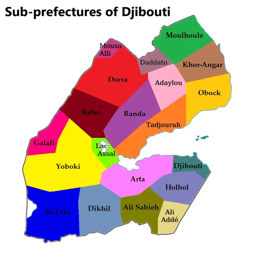
Dikhil Plateau

Weather…
Water temperature…
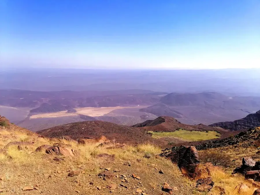
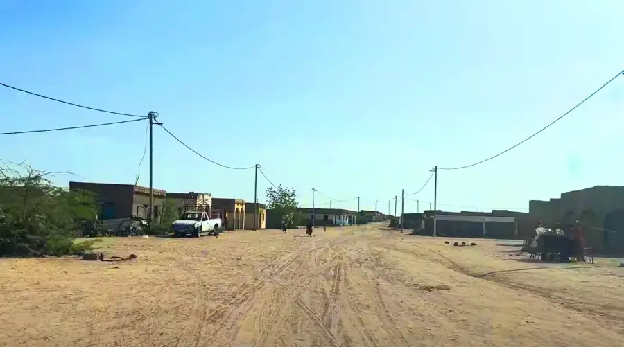
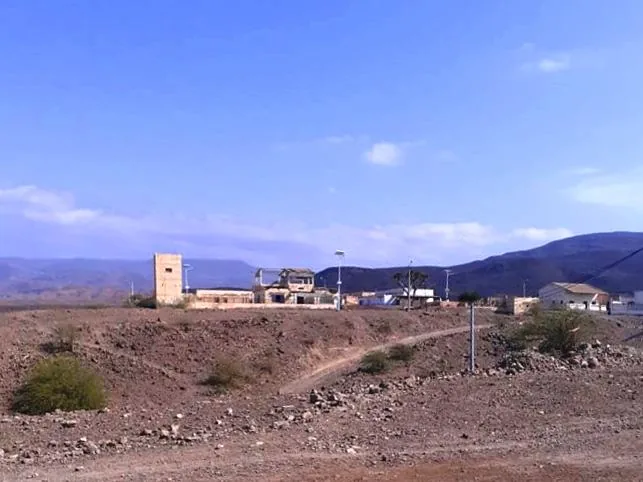
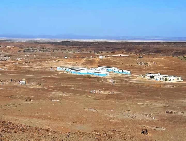
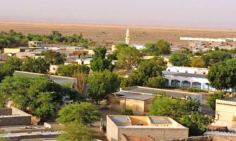
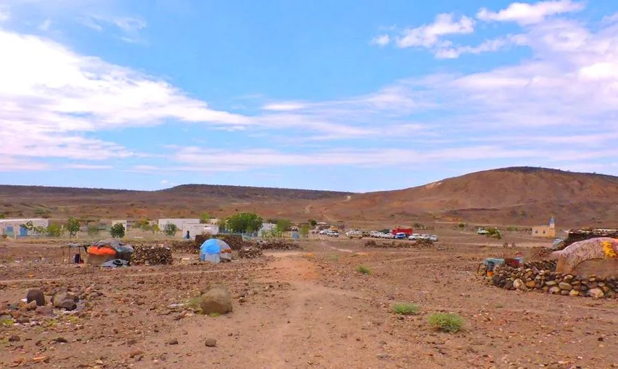
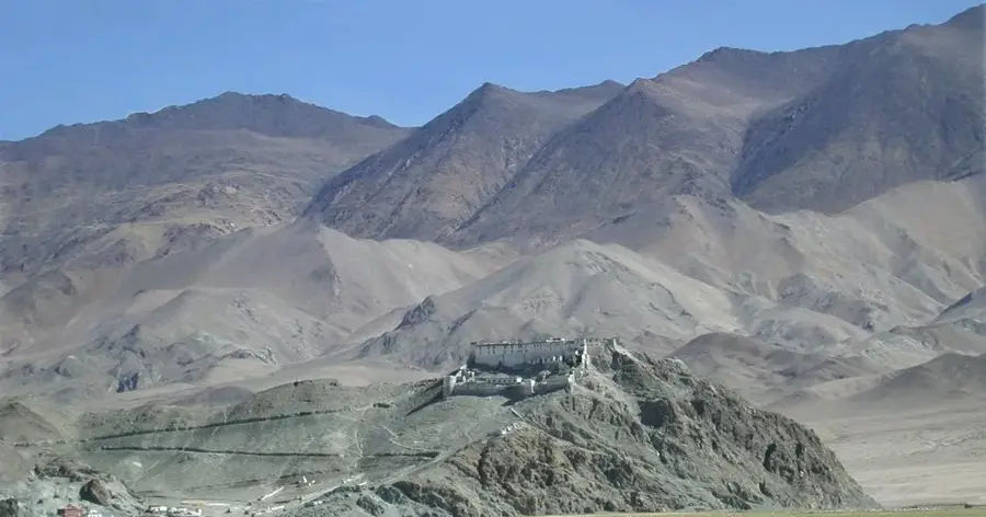
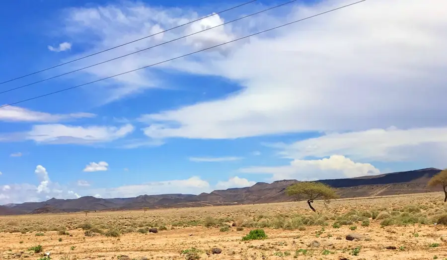
The Dikhil Plateau is an extensive upland area in southern Djibouti, named after the border town of the same name. This geological formation is characterized by its flat to gently undulating topography, dominated by basaltic plateau lavas and sandy sediments. The plateau serves as a natural transition between the volcanic mountains of the north and the lowlands of Ethiopia. Due to its position on the edge of the Great Rift Valley, the region is seismically active and features numerous faults. Historically, the plateau has been inhabited for millennia by the Afar and Issa peoples, who controlled vital trade routes between the coast and the Abyssinian hinterland. The climate is semi-arid, leading to vegetation composed of hardy grasses and scattered acacias, which serve as an essential food source for nomadic herds.
- Location: Djibouti
- Top sights: Intimara · Gêlle H̱abbad · Tour Qaïlo
- Nearby: Sankal (11 km)
Best time to visit & climate
The most pleasant time to visit is Jan, Feb, Dec.
| Jan | Feb | Mar | Apr | May | Jun | Jul | Aug | Sep | Oct | Nov | Dec | |
|---|---|---|---|---|---|---|---|---|---|---|---|---|
| Avg °C | 22 | 23 | 26 | 27 | 30 | 33 | 32 | 31 | 31 | 27 | 24 | 22 |
| Rain mm | 6 | 7 | 26 | 57 | 22 | 8 | 45 | 60 | 39 | 17 | 10 | 14 |
📋 Practical info
Geography
Facts
- The plateau sits at an average elevation of approximately 500 meters.
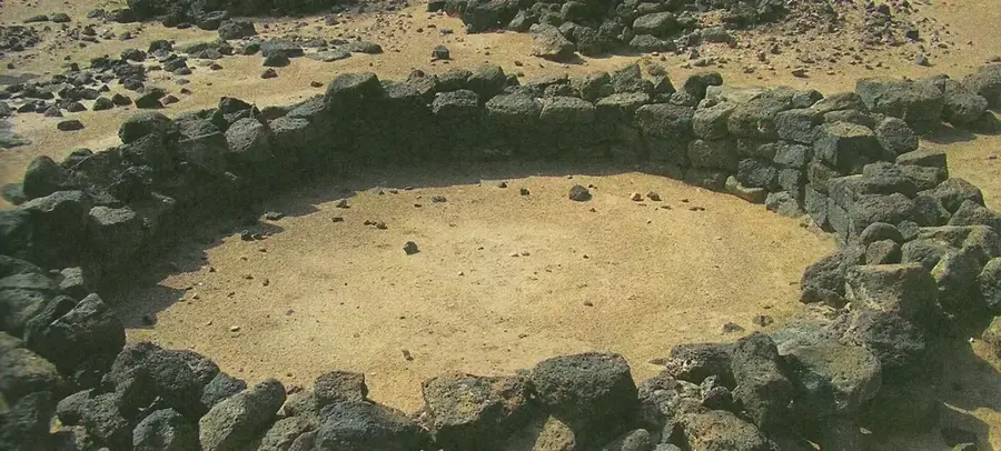
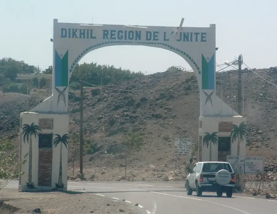
- The town of Dikhil was established in 1928 by the French as a military post.
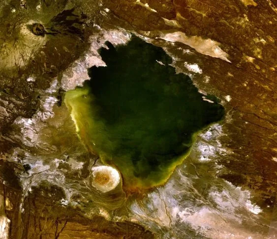
- The region is known for its hot springs, which indicate underlying volcanic activity.
- The ground is largely composed of dark basaltic rock.
- The plateau forms the watershed between the Gaggade Basin and the Hanle Basin.
- Archaeological finds prove that the area was inhabited as far back as the Neolithic period.
Explore nearby
Notable places around
Route planner — Car & Motorhome
Where do you start? We build the route here, with stops and country notes along the way.
© OpenStreetMap contributors · OpenRouteService
Sights in the town Dikhil Plateau (3)
Sights nearby
Frequently asked questions
What can you see on the Dikhil Plateau?
Is Dikhil an important transport hub?
How is the weather there?
What can you visit nearby?
Are there hotels there?
Dikhil Plateau: where is it located?
Dikhil Plateau: what is there to see?
Dikhil Plateau: when is the best time to visit?
Dikhil Plateau: why is it worth visiting?

Nearby cities
History & landmarks
Nature
More places