Plizio Visual Lab
Gaggade Basin

Weather…
Water temperature…
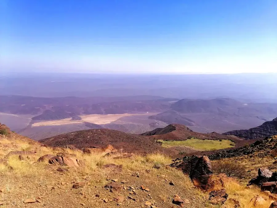
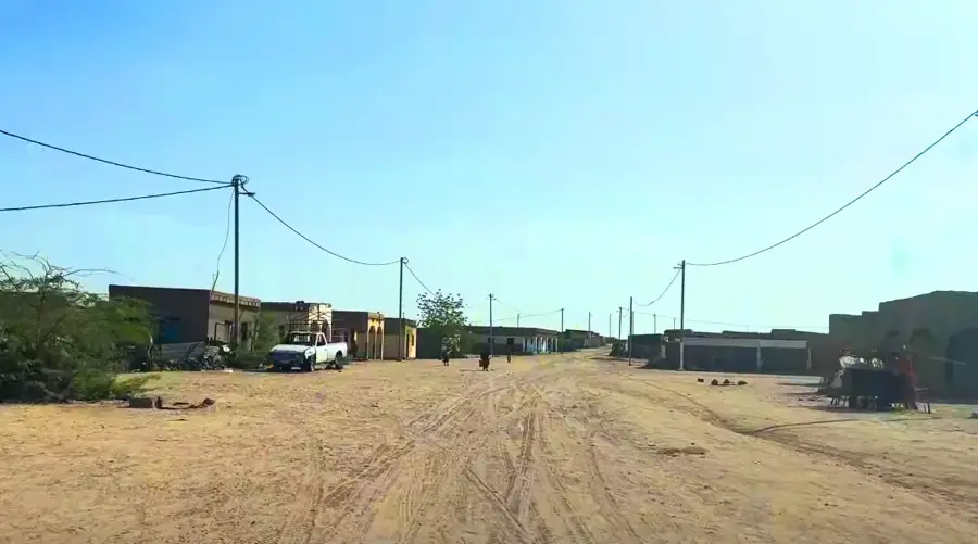
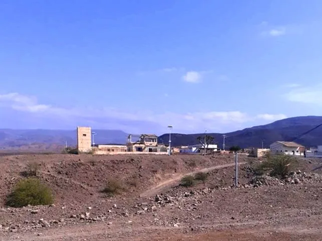
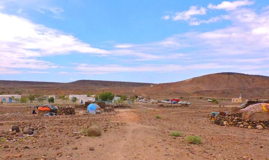
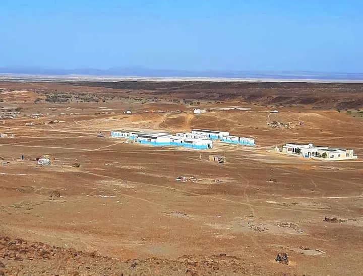
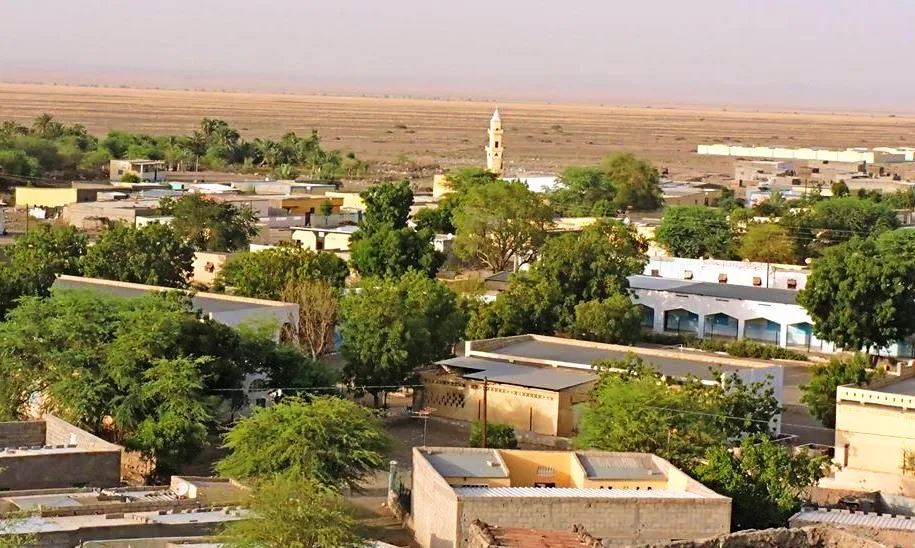
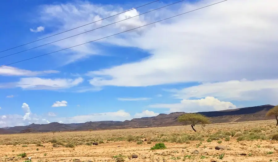
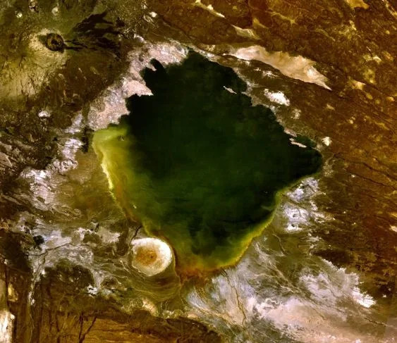
The Gaggade Basin is a prominent tectonic depression located in southwestern Djibouti, forming part of the complex East African Rift system. This endorheic plain spans several hundred square kilometers and is enclosed by rugged volcanic mountain ranges. Geologically, the basin floor consists predominantly of alluvial deposits and marine sediments, pointing to an era when the area was connected to the Red Sea. The climate in this region is extremely arid, with temperatures regularly exceeding 45 degrees Celsius during the summer months. Despite the inhospitable conditions, the basin has served for centuries as a grazing ground for the camel herds of the nomadic Afar tribes, particularly after rare rainfall events. Its strategic location near the Ethiopian border also makes it an important corridor for regional trade and migration patterns.
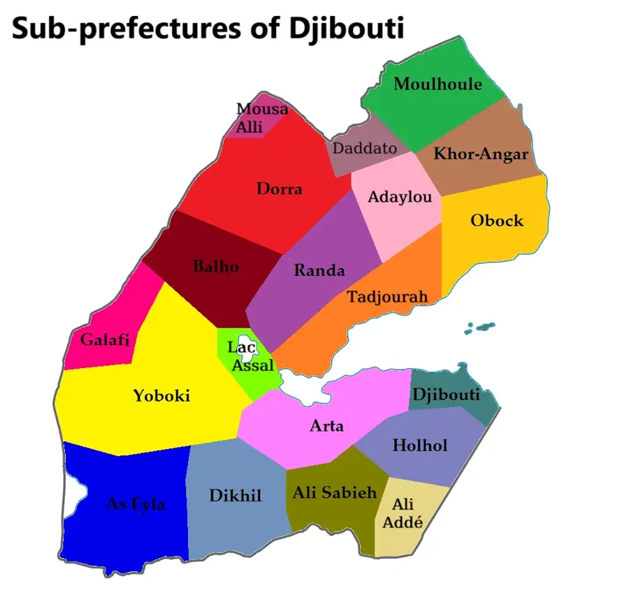
- Location: Djibouti
- Top sights: Dimbir Kôma · Ouré Ahmed · Dokoïno-bel’enleïta
- Nearby: Gaggade (5 km)
Best time to visit & climate
The most pleasant time to visit is Jan, Feb, Dec.
| Jan | Feb | Mar | Apr | May | Jun | Jul | Aug | Sep | Oct | Nov | Dec | |
|---|---|---|---|---|---|---|---|---|---|---|---|---|
| Avg °C | 24 | 26 | 28 | 29 | 32 | 35 | 34 | 32 | 32 | 29 | 26 | 25 |
| Rain mm | 5 | 7 | 24 | 51 | 28 | 8 | 45 | 66 | 39 | 13 | 7 | 10 |
📋 Practical info
Geography
Facts
- The basin sits at an average elevation of 150 to 200 meters above sea level.
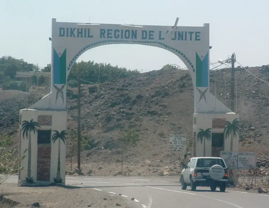
- It belongs administratively to the Dikhil Region in the south of the country.
- Geologically, it is linked to the Danakil Depression, one of the hottest places on Earth.
- Annual precipitation in the area often falls below 150 mm.
- Vegetation is restricted to xerophilic plants such as acacia and thorn bushes.
- The basin acts as a key transit route for goods moving between Djibouti and Ethiopia.
Explore nearby
Notable places around
Route planner — Car & Motorhome
Where do you start? We build the route here, with stops and country notes along the way.
© OpenStreetMap contributors · OpenRouteService
Sights in the town Gaggade Basin (3)
Sights nearby
Frequently asked questions
What is the Gaggade Basin?
Are there settlements there?
What is the road condition?
What makes the landscape so special?
Should you take a guide?
Gaggade Basin: where is it located?
Gaggade Basin: what is there to see?
Gaggade Basin: when is the best time to visit?
Gaggade Basin: why is it worth visiting?

Nearby cities
History & landmarks
Nature
More places