Plizio Visual Lab
Gaggade

ℹ️Practical info — Gaggade
▾
🌤 Weather — 5 days
📍 Nearby
Sights nearby
💡 Tips
- Travel in a 4x4 vehicle with a reliable local guide due to the remote desert terrain.
- Bring significantly more water than you think you need, as the climate is extremely arid.
- Sun protection, including hats and light long sleeves, is essential.
- Be prepared for limited mobile network coverage.
🍽 Food
Look for local village kitchens offering hearty stews.
Enjoy this spongy flatbread with tea in the morning at small stalls.
A sweet, spiced tea available at local gathering spots.
🛍 Shopping · 🧘 Quiet spots
Ask locals if they have traditional woven items or small crafts for sale.
Stock up on simple supplies at the local village stores before heading into the deeper desert.
Walk a short distance from the settlement to watch the sunset over the vast plain.
The lack of light pollution makes the night sky spectacular just outside the village.
Water temperature…
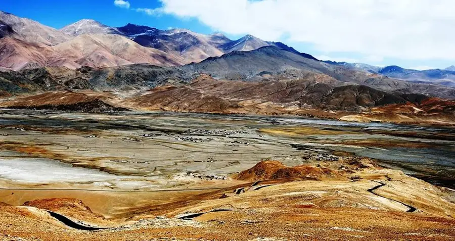
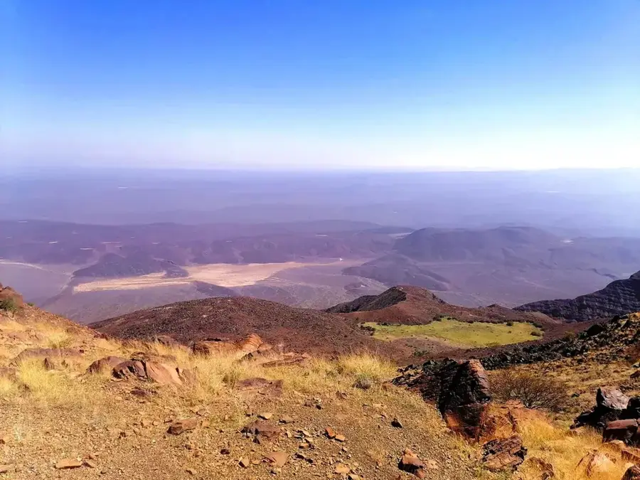
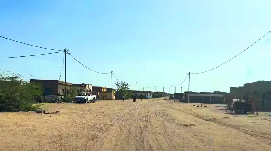
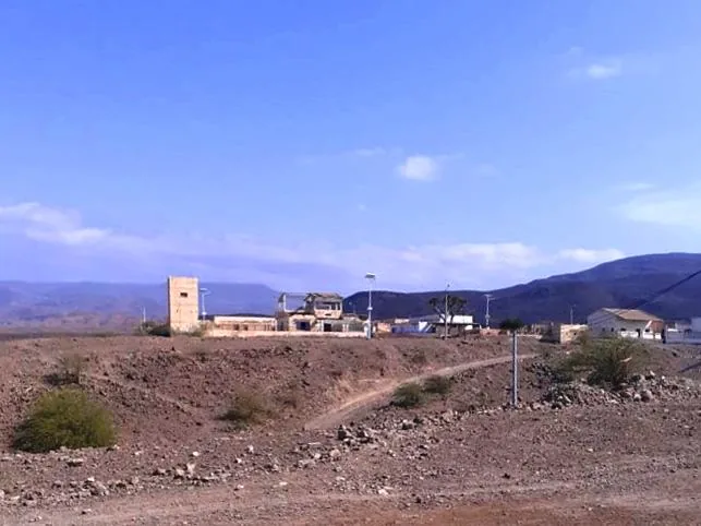
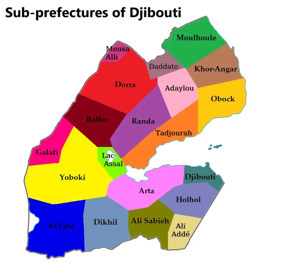
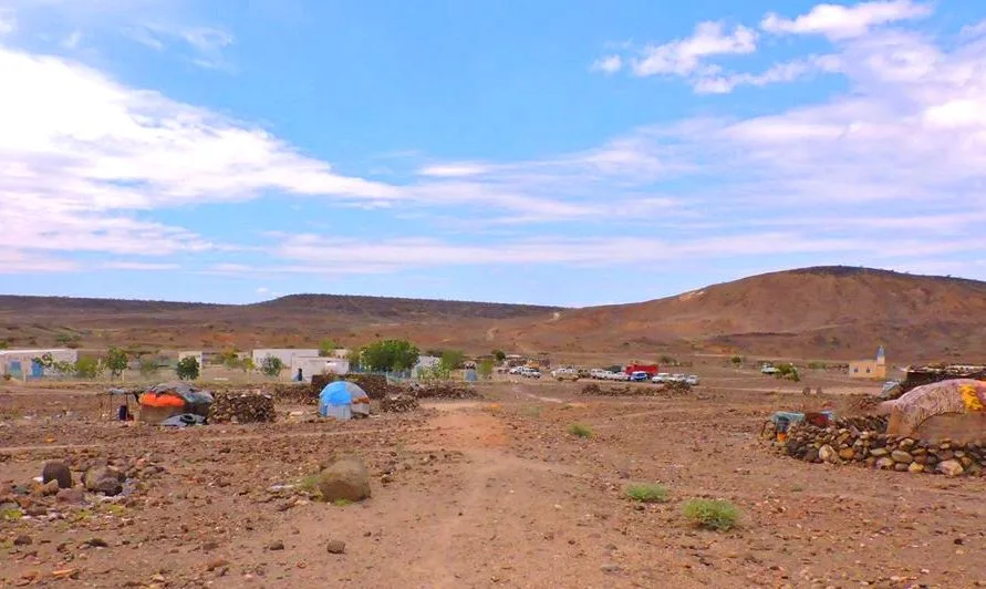
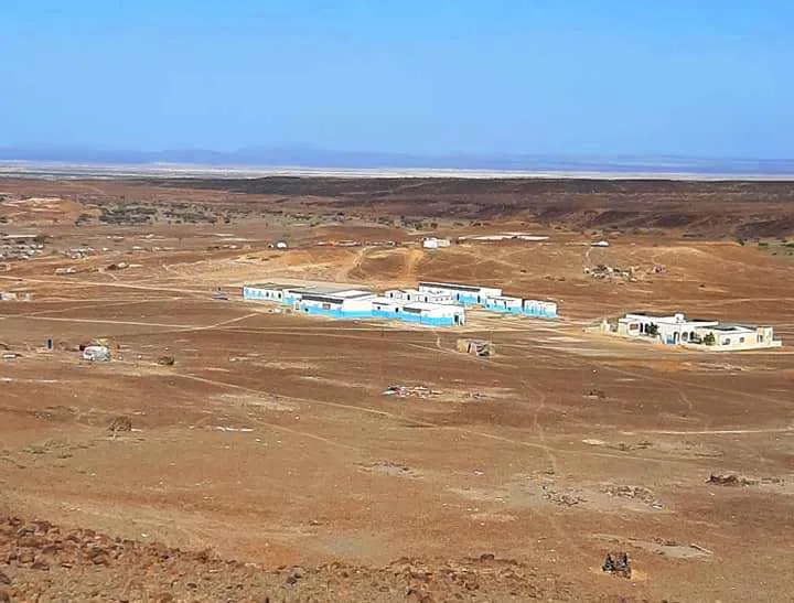
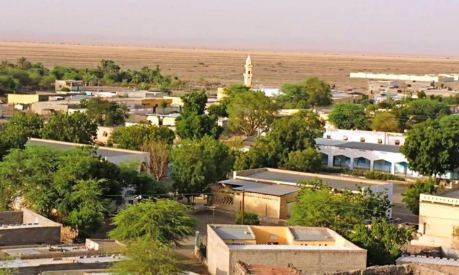
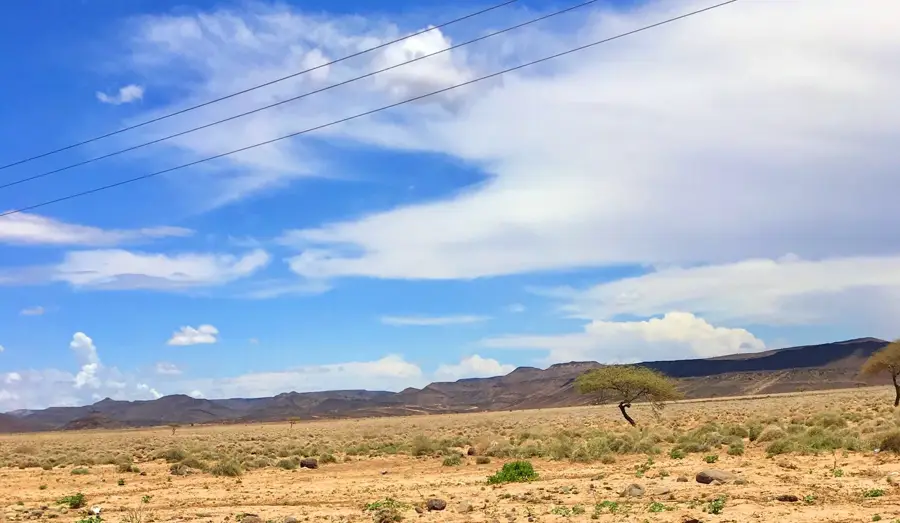
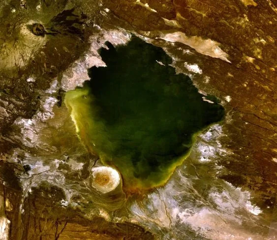
Gaggade refers to the Gaggade Plain, a prominent tectonic depression in central Djibouti that extends between the Dikhil and Tadjourah regions. This geological formation is a flat, clayey basin that can be temporarily flooded during rare heavy rains, creating short-lived pastures for wildlife and livestock. Historically, this plain was a crucial corridor for caravans traveling from the coast to the Ethiopian highlands. The surroundings are bordered by volcanic hills and solidified lava flows, reflecting the dramatic formation history of the region. The local population is highly mobile and uses the plain as a seasonal grazing area for their camel herds. Due to extreme heat and the lack of permanent water sources, the establishment of fixed buildings is limited; instead, temporary nomadic camps dominate the landscape. Scientifically, Gaggade is of great interest to geologists who study the spreading of the Earth's crust here. Survival in this barren landscape requires deep knowledge of the few hidden water points and the utilization of the sparse vegetation.
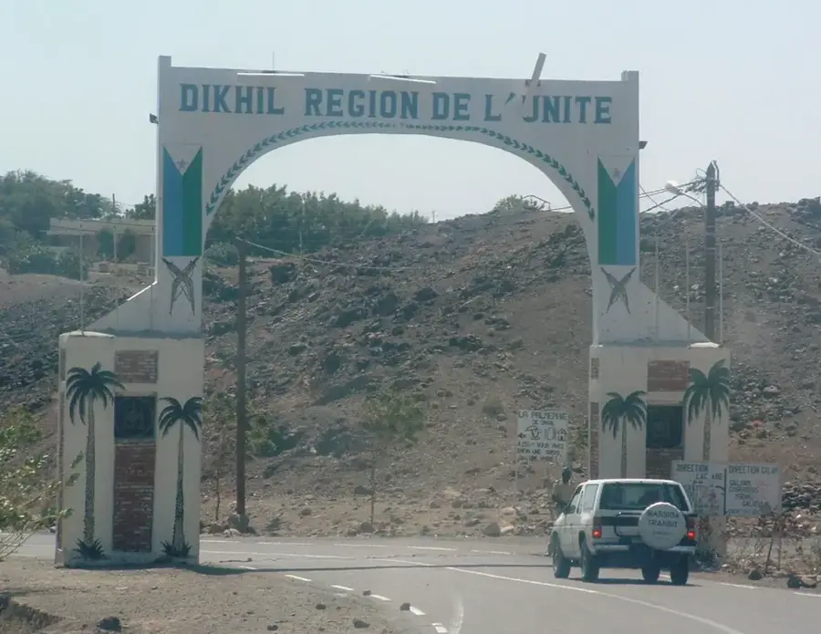
- Location: Djibouti
- Nearby: Yoboki (9 km)
Best time to visit & climate
The most pleasant time to visit is Jan, Feb, Dec.
| Jan | Feb | Mar | Apr | May | Jun | Jul | Aug | Sep | Oct | Nov | Dec | |
|---|---|---|---|---|---|---|---|---|---|---|---|---|
| Avg °C | 24 | 26 | 28 | 29 | 32 | 35 | 34 | 32 | 32 | 29 | 26 | 25 |
| Rain mm | 5 | 7 | 24 | 51 | 28 | 8 | 45 | 66 | 39 | 13 | 7 | 10 |
Geography
Facts
- A large tectonic depression located between Dikhil and Tadjourah.
- Geologically composed of a flat, clay-rich basin.
- Historically served as a primary route for caravans to Ethiopia.
- The landscape is shaped by volcanic hills and lava flows.
- Used by nomadic populations as seasonal grazing grounds.
- An important research area for studying plate tectonics.
Explore nearby
Notable places around
Route planner — Car & Motorhome
Where do you start? We build the route here, with stops and country notes along the way.
© OpenStreetMap contributors · OpenRouteService
Frequently asked questions
What is the Gaggade Plain?
Is salt extracted there?
What is the climate in the plain?
Are there gazelles there?
Can you cross the plain?
Gaggade: where is it located?
Gaggade: when is the best time to visit?
Gaggade: why is it worth visiting?

Nearby cities
History & landmarks
Nature
More places