Plizio Visual Lab
Niquero
ℹ️Practical info — Niquero
▾
🌤 Weather — 5 days
📍 Nearby
Sights nearby
💡 Tips
- Visit Cabo Cruz lighthouse early in the morning to avoid the midday sun.
- Public transport is limited; arrange a local taxi (máquina) for trips out of town.
- Cash is essential as ATMs might be empty or non-functional.
- Try the fresh catch of the day at the local paladares near the coast.
🍽 Food
Try the catch of the day at the local paladares near the coast.
Traditional Cuban side available at most local eateries.
Buy them directly from local street vendors.
🛍 Shopping · 🧘 Quiet spots
Best for fresh fruits and vegetables early in the morning.
Small state-run shops usually carry these basics.
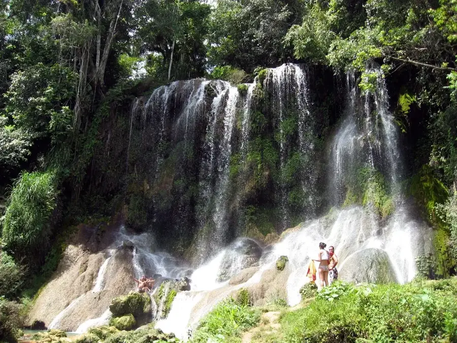
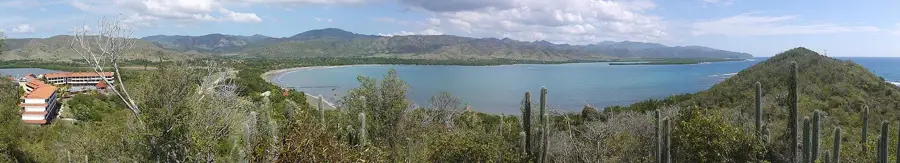
Walk the trails to see the dramatic coastal terraces.
A calm place to watch the sunset over the Guacanayabo Gulf.
Water temperature…
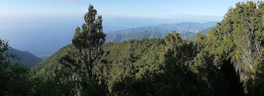
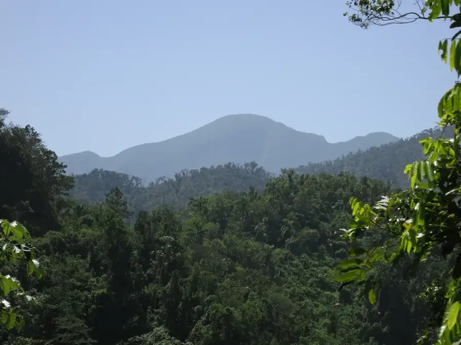
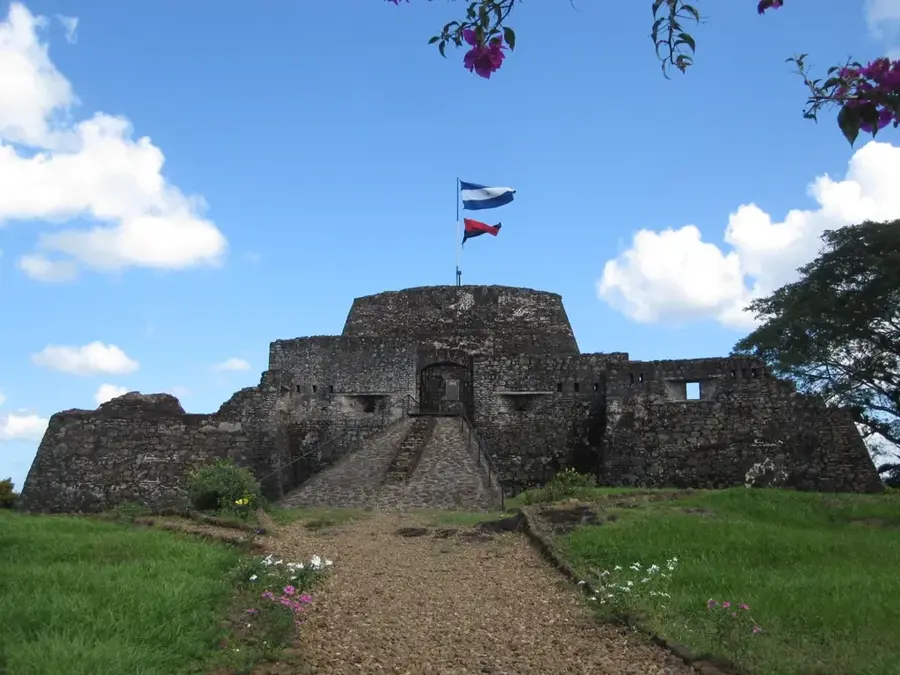
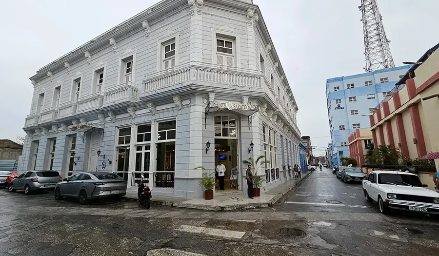
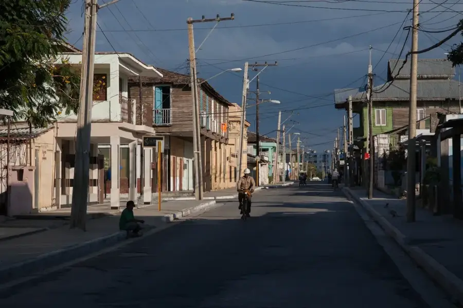
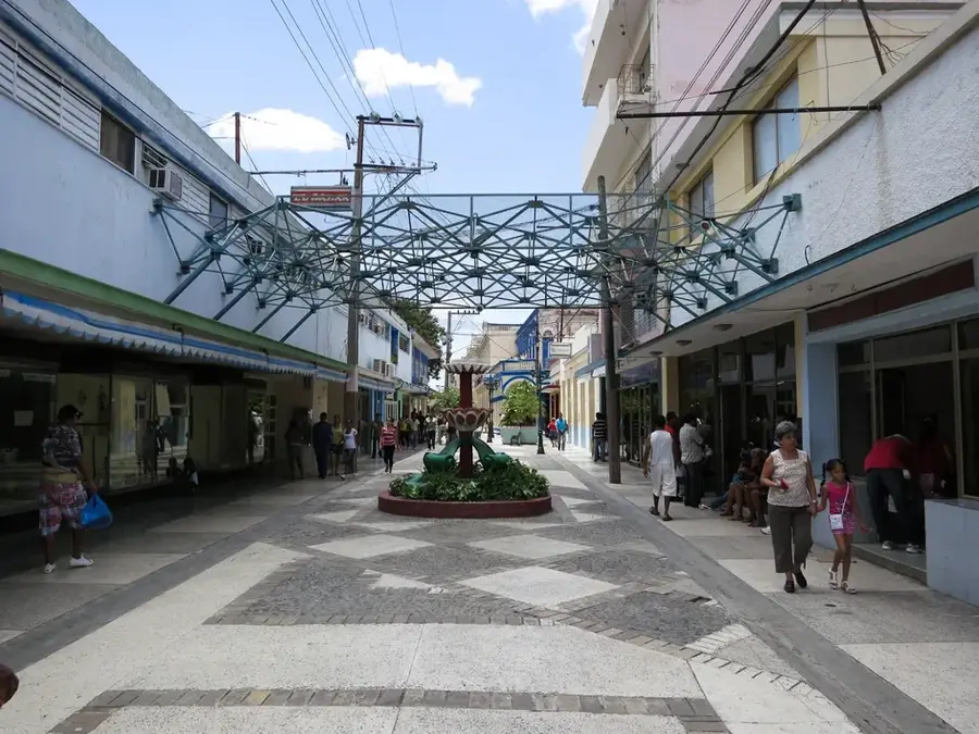
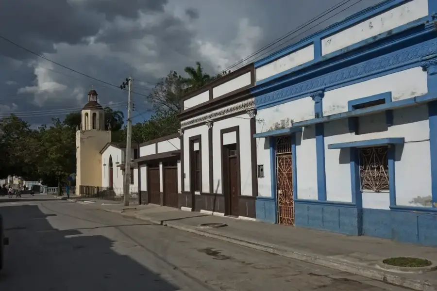
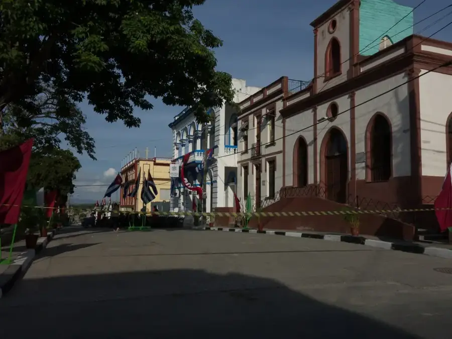
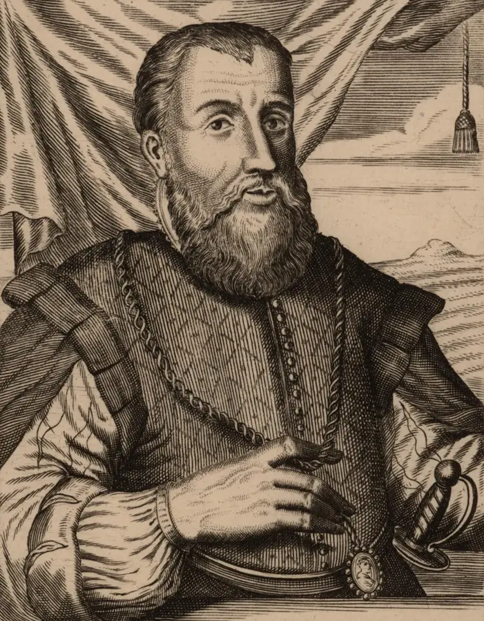
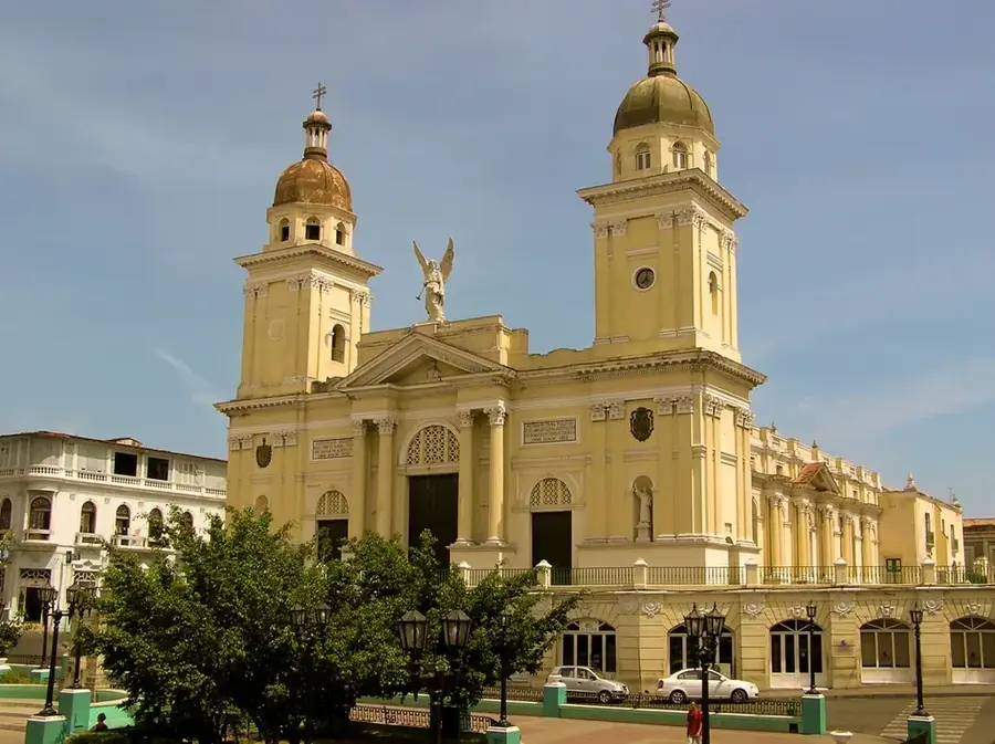
Niquero is a coastal city in the Granma province of southeastern Cuba, gaining international historical significance through the events of December 1956. It was at the nearby shore of Las Coloradas that the yacht "Granma" landed, carrying Fidel Castro and 81 other revolutionaries to begin the armed struggle against the Batista regime. Today, the municipality is home to the Desembarco del Granma National Park, a UNESCO World Heritage site celebrated for its spectacular uplifted marine terraces and immense biodiversity. Geographically, Niquero is shaped by its location on the Gulf of Guacanayabo and the western foothills of the Sierra Maestra mountains. The economy is traditionally rooted in commercial fishing and the sugar industry, centered around the "Roberto Ramírez Delgado" sugar mill. In recent years, ecotourism has flourished due to the region's unique geological formations and historical landmarks. The town is also a key site for pre-Columbian archaeology, containing significant remains of the indigenous Taíno culture.
- Location: Cuba
- Nearby: Media Luna (17 km)
- Population: ~18.771 (2023)
Best time to visit & climate
The most pleasant time to visit is Jan, Feb, Dec.
| Jan | Feb | Mar | Apr | May | Jun | Jul | Aug | Sep | Oct | Nov | Dec | |
|---|---|---|---|---|---|---|---|---|---|---|---|---|
| Avg °C | 25 | 26 | 26 | 27 | 28 | 29 | 29 | 29 | 29 | 28 | 27 | 26 |
| Rain mm | 27 | 21 | 33 | 53 | 151 | 135 | 88 | 128 | 150 | 163 | 60 | 26 |
Geography
Facts
- The yacht Granma landed at Las Coloradas on December 2, 1956.
- Desembarco del Granma National Park was named a UNESCO World Heritage site in 1999.
- The municipality covers an area of 588 square kilometers.
- Niquero is located about 120 kilometers southwest of the provincial capital, Bayamo.
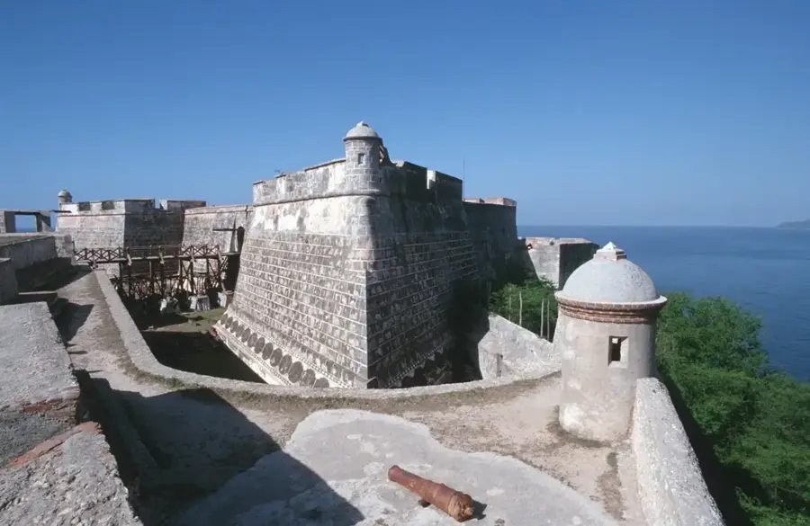
- Cabo Cruz (Cape Cruz) marks the southernmost point of the municipality.
- The Cabo Cruz lighthouse was completed in 1871.
Explore nearby
Notable places around
Route planner — Car & Motorhome
Where do you start? We build the route here, with stops and country notes along the way.
© OpenStreetMap contributors · OpenRouteService
Frequently asked questions
Why is Niquero touristically famous?
How far is the national park?
Are there accommodation options on-site?
What natural beauties can be seen?
Is a guide necessary for the national park?
Niquero: where is it located?
Niquero: when is the best time to visit?
Niquero: why is it worth visiting?

Nearby cities


History & landmarks
Nature
More places