Plizio Visual Lab
Jiguaní
ℹ️Practical info — Jiguaní
▾
🌤 Weather — 5 days
📍 Nearby
Sights nearby
💡 Tips
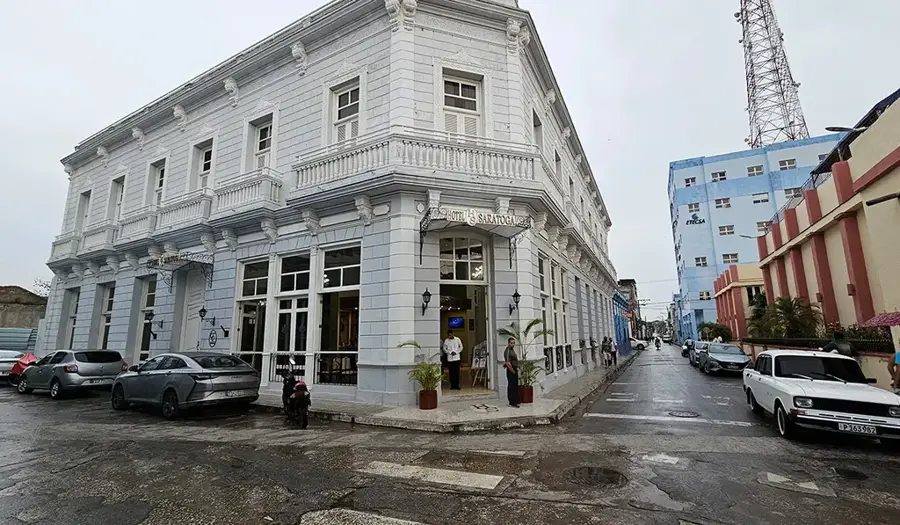
- The center is best explored on foot, as the historic buildings are clustered close together.
- The climate in Granma province is very hot and humid; plan your outdoor activities for the early morning.
- Bring enough Cuban Pesos in cash, as card payments are rarely accepted outside large hotels.
- The town has a rich history tied to the independence wars; look out for commemorative plaques on old buildings.
🍽 Food
The Cuban roast pork is a must-try in the local paladares (private restaurants).
Enjoy strong, sweet Cuban coffee served in tiny cups at small street stalls.
🛍 Shopping · 🧘 Quiet spots
The farmers market provides fresh tropical fruits like mangoes and guavas direct from producers.
Look for local brands which are often more authentic than those found in heavy tourist areas.
The tree-lined main square with its benches is great for observing local daily life.
Take a quiet walk along the riverbanks just outside the immediate center.
Water temperature…
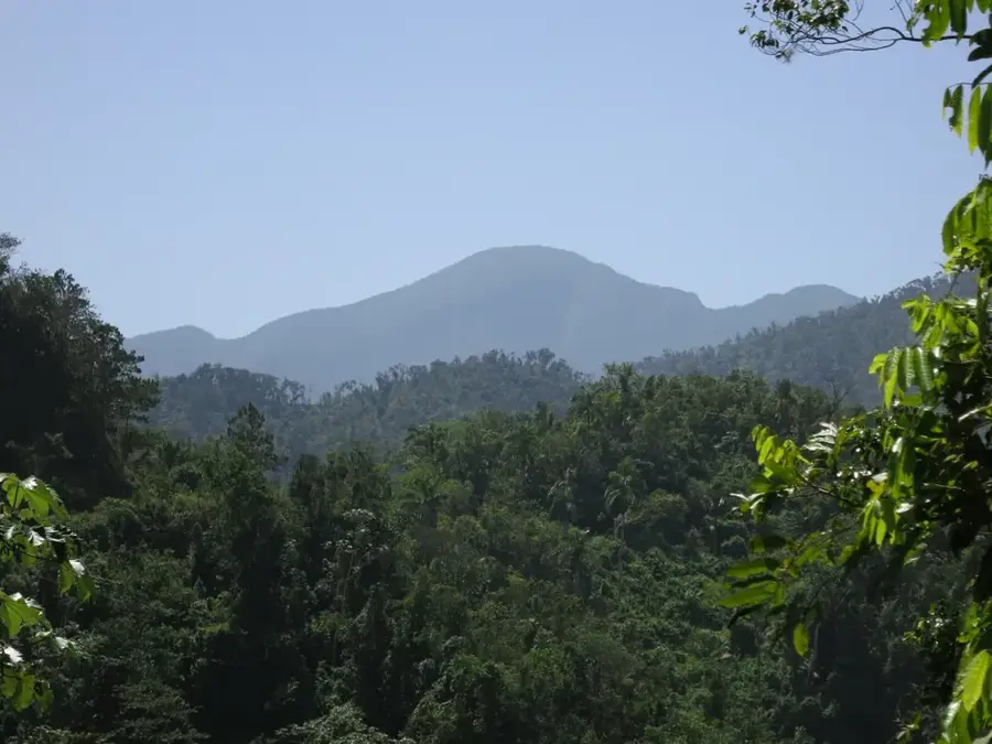
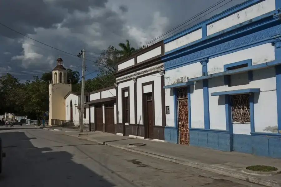
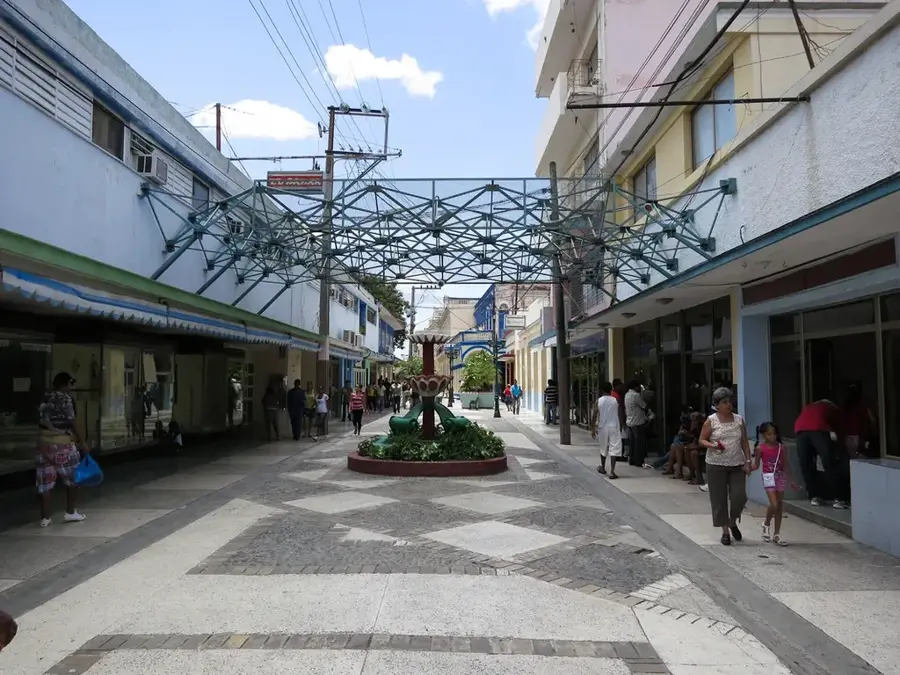
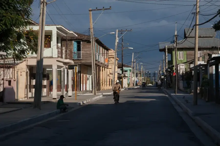
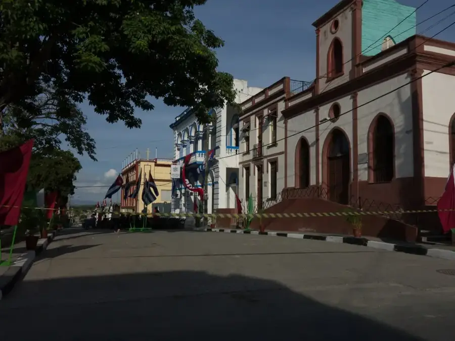
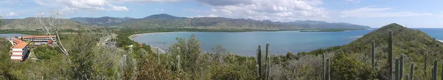
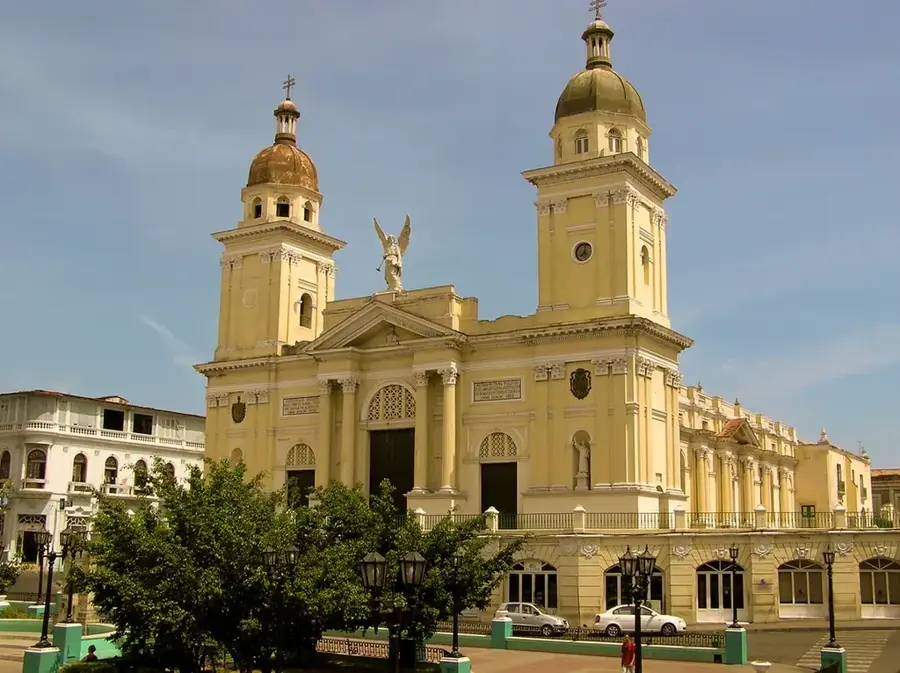
Jiguaní is a city steeped in history, located in the Granma province of eastern Cuba and officially founded in 1701. As one of the oldest settlements in the region, it played a pivotal role in Cuba's independence struggles against Spanish colonial rule. Geographically situated at the foothills of the Sierra Maestra mountains and intersected by the Jiguaní River, the town's landscape is both scenic and strategically important. During the Ten Years' War and the War of Independence in 1895, the area served as a vital base for the liberating forces and saw numerous historic skirmishes. The architecture of the historic center still features colonial elements that reflect its three-century-long heritage. Economically, Jiguaní is heavily reliant on agriculture, specializing in tobacco, coffee, and cocoa cultivation in the higher elevations, alongside livestock farming in the valleys. The city takes great pride in its cultural legacy and its reputation as a cradle of patriotic movements.
- Location: Cuba
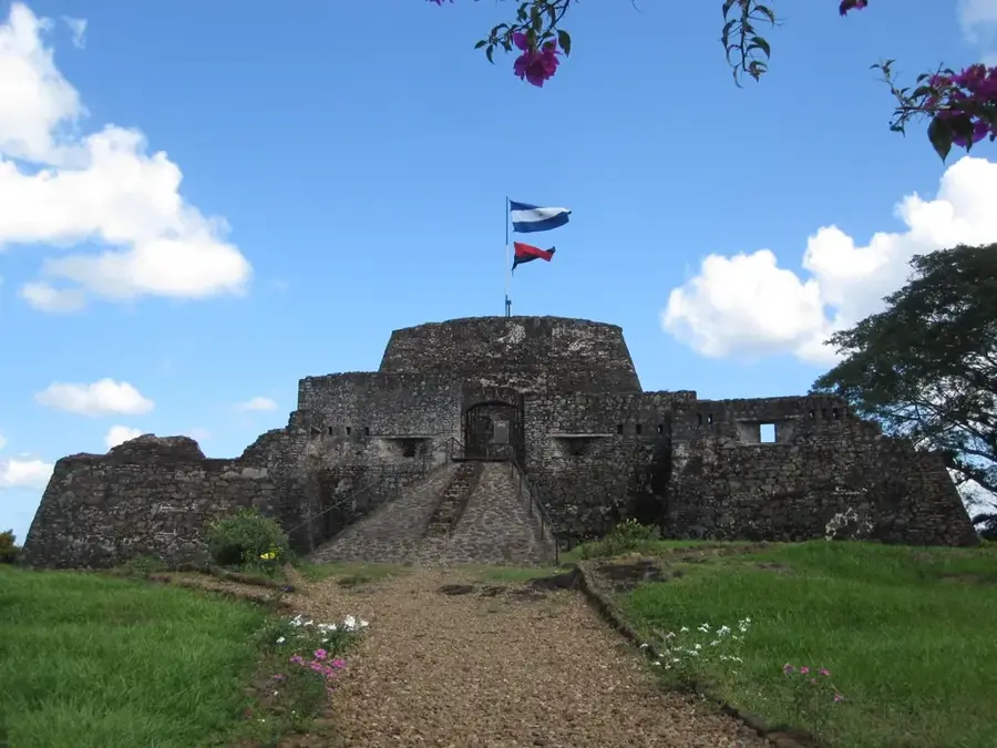
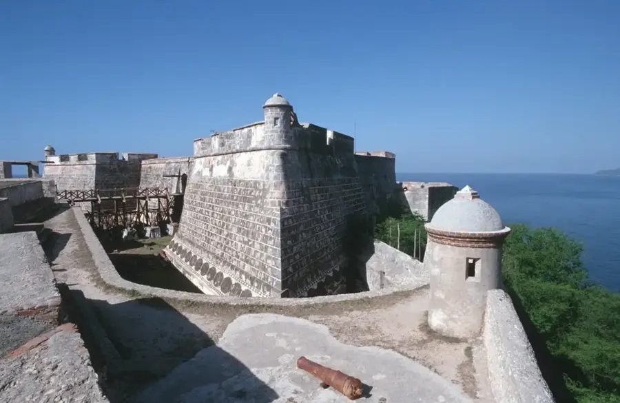
- Top sights: Jiguani Fort · Museo Municipal Jiguaní · Paseo de Jiguaní
- Nearby: Contramaestre (19 km)
- Population: ~41.106 (2023)
Best time to visit & climate
The most pleasant time to visit is Jan, Feb, Dec.
| Jan | Feb | Mar | Apr | May | Jun | Jul | Aug | Sep | Oct | Nov | Dec | |
|---|---|---|---|---|---|---|---|---|---|---|---|---|
| Avg °C | 24 | 25 | 26 | 27 | 28 | 28 | 29 | 29 | 28 | 27 | 25 | 25 |
| Rain mm | 16 | 15 | 18 | 33 | 68 | 61 | 38 | 50 | 58 | 90 | 41 | 21 |
Geography
Facts
- Jiguaní was officially founded on January 25, 1701.
- The municipality covers a total land area of 646 square kilometers.
- The city is located about 25 kilometers east of the provincial capital, Bayamo.
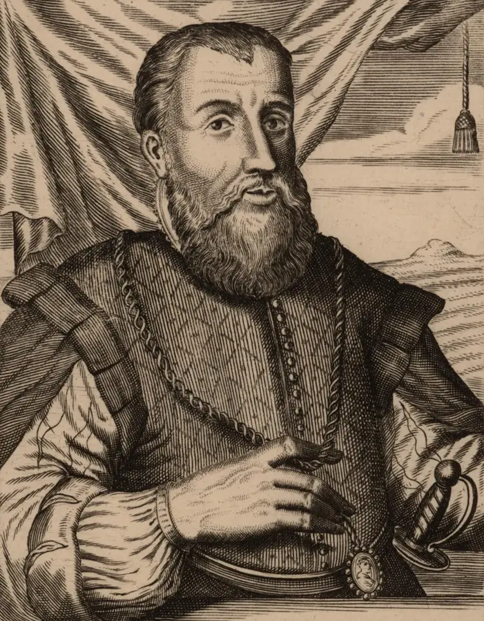
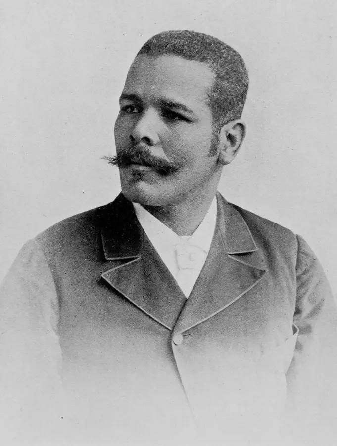
- Jiguaní is the birthplace of the independence fighter General Calixto García.
- The name Jiguaní is of indigenous origin, meaning 'river of the heights.'
- The region is known for its marble deposits, which are quarried locally.
Explore nearby
Notable places around
Route planner — Car & Motorhome
Where do you start? We build the route here, with stops and country notes along the way.
© OpenStreetMap contributors · OpenRouteService
Sights in the town Jiguaní (4)
Frequently asked questions
How many days should be planned for Jiguaní?
What is the typical dish in this region?
What is the best way to reach Jiguaní?
Is Jiguaní suitable for families with children?
When is the best time to visit?
Jiguaní: where is it located?
Jiguaní: what is there to see?
Jiguaní: when is the best time to visit?
Jiguaní: why is it worth visiting?

Nearby cities

History & landmarks
Nature
More places