Plizio Visual Lab
Palma Soriano
ℹ️Practical info — Palma Soriano
▾
🌤 Weather — 5 days
📍 Nearby
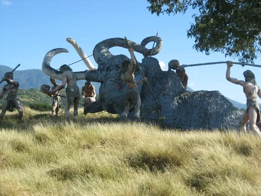
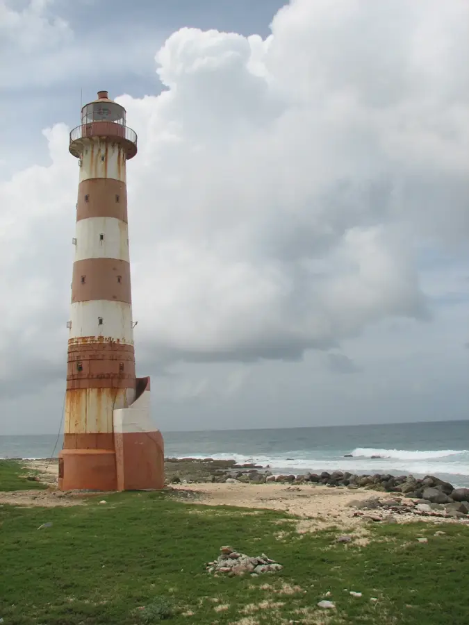
Sights nearby
💡 Tips
- Located on the banks of the Cauto River, walking near the water provides a glimpse into local life.
- It's an important crossroads city in eastern Cuba; a convenient transit stop if traveling between Santiago de Cuba and Bayamo.
- It can get extremely hot in the afternoon; plan your sightseeing for the early morning.
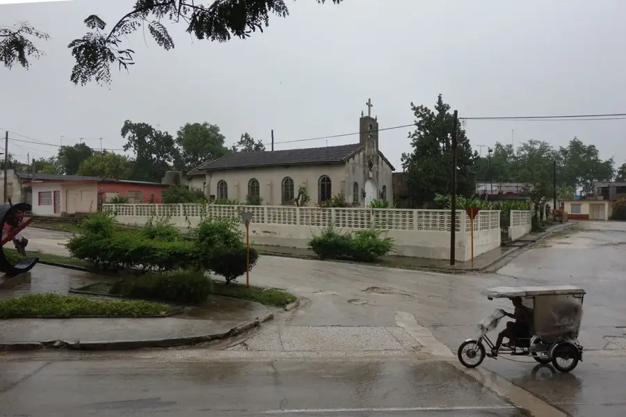
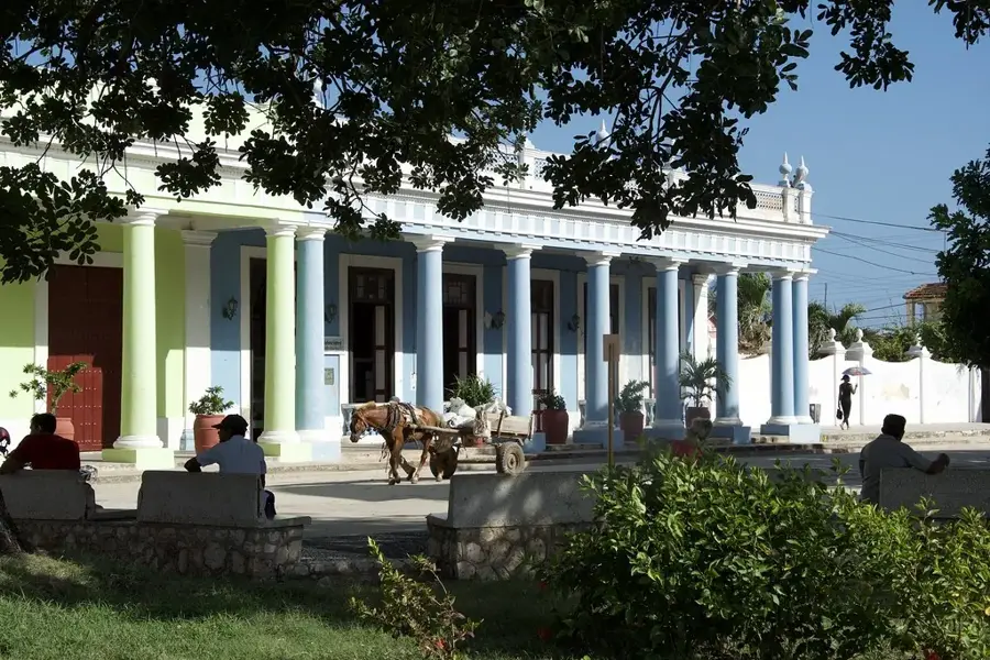
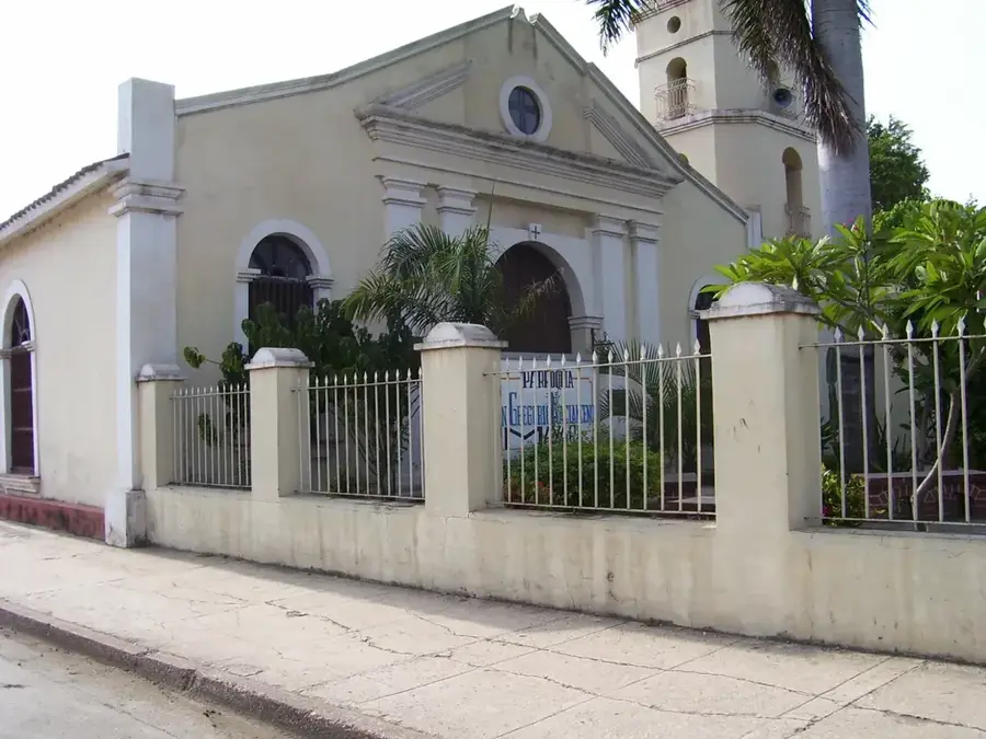
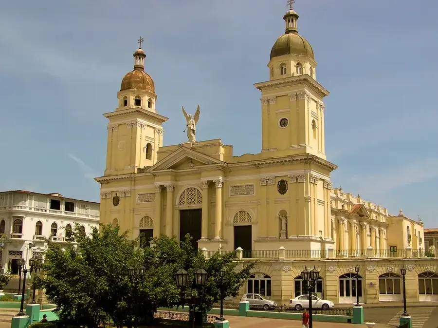
- Visit the central Parque José Martí to see the main church and surrounding colonial-style buildings.
🍽 Food
Rice and beans cooked together, the staple side dish of the Oriente region.
Fried pork belly, a popular crunchy snack available at local stalls.
A traditional eastern sweet made of coconut, honey, and fruit, wrapped in a palm leaf.
🛍 Shopping · 🧘 Quiet spots
Look for agricultural products and homemade regional sweets along the main roads.
Where locals shop for daily necessities; you might spot occasional artisan goods.
Find a spot slightly outside the busy center to enjoy the natural flow of Cuba's longest river.
The main church on the square features a cool, quiet respite from the intense heat.
Water temperature…
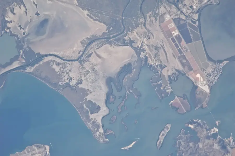
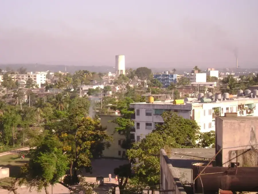
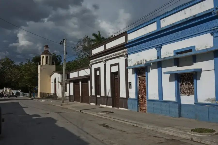
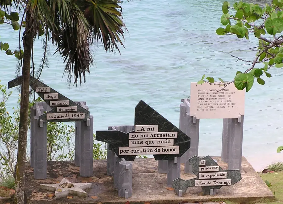
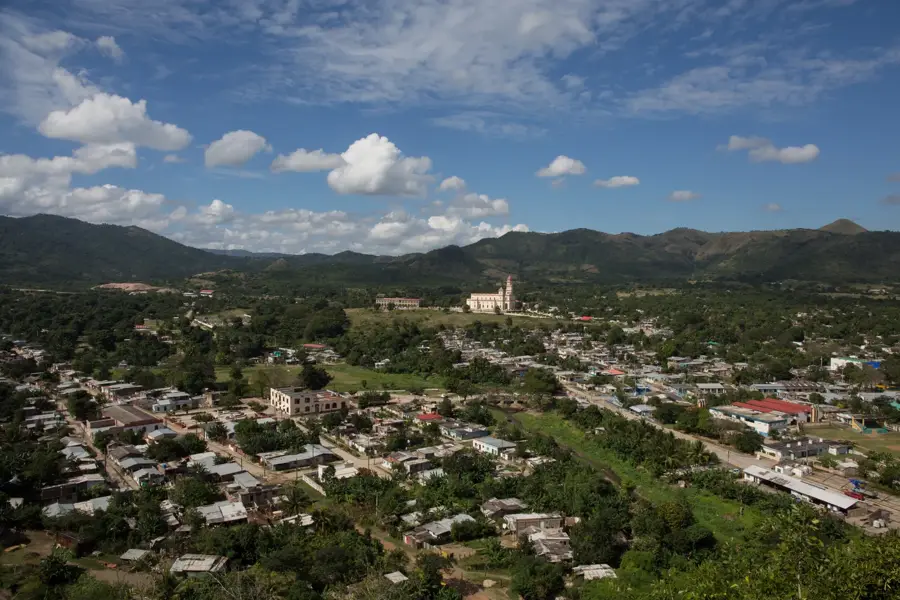
Palma Soriano is a city rich in history located in the center of Santiago de Cuba Province, situated on the banks of the Cauto River, the island's longest waterway. The city was founded in 1825 on the site of the former Cauto Abajo estate and quickly grew into a center for sugar and coffee production due to its fertile surroundings. In Cuban history, Palma Soriano holds a place of reverence as the route through which the remains of national hero José Martí were carried in 1895 after his fall at the nearby Battle of Dos Ríos. During the Cuban Revolution, the city was the site of fierce combat before being captured by rebel forces in December 1958. The cityscape is characterized by colonial architecture and the prominent monument to José Martí in the central park. Today, the economy remains dependent on the processing of agricultural goods, particularly sugarcane and coffee, as well as cattle ranching in the surrounding plains.
- Location: Cuba
- Nearby: San Luis (16 km)
- Population: ~102.826 (2023)
Best time to visit & climate
The most pleasant time to visit is Jan–Mar.
| Jan | Feb | Mar | Apr | May | Jun | Jul | Aug | Sep | Oct | Nov | Dec | |
|---|---|---|---|---|---|---|---|---|---|---|---|---|
| Avg °C | 25 | 25 | 26 | 27 | 27 | 28 | 28 | 29 | 28 | 27 | 26 | 25 |
| Rain mm | 13 | 12 | 14 | 32 | 60 | 54 | 37 | 45 | 56 | 87 | 36 | 17 |
Geography
Facts
- Founded in the year 1825.
- Located on the banks of the Cauto River.
- José Martí's remains passed through the city in 1895.
- Significant center for coffee processing.
- Liberated by revolutionary forces in December 1958.
- Situated about 40 km northwest of Santiago de Cuba.
Explore nearby
Notable places around
Route planner — Car & Motorhome
Where do you start? We build the route here, with stops and country notes along the way.
© OpenStreetMap contributors · OpenRouteService
Sights in the town Palma Soriano (1)
Frequently asked questions
On which river is it located?
What is the main economy?
What is the landscape like?
Are there historical sites?
How to get there?
Palma Soriano: where is it located?
Palma Soriano: when is the best time to visit?
Palma Soriano: why is it worth visiting?

Nearby cities


History & landmarks
More places