Plizio Visual Lab
Sagua de Tánamo
ℹ️Practical info — Sagua de Tánamo
▾
🌤 Weather — 5 days
📍 Nearby
Sights nearby
💡 Tips
- The terrain is hilly, so wear sturdy walking shoes.
- It can be quite rainy in the mountains; always carry a light rain jacket.
- Try to arrange a local guide to explore the surrounding nature safely.
- Bring small denomination Cuban pesos for street food and small purchases.
🍽 Food
Roasted pork, typically served during weekend gatherings.
Fried green plantains available at most eateries.
Extremely fresh local coffee served at small cafes or homes.
🛍 Shopping · 🧘 Quiet spots
Great place to buy locally grown coffee beans and root vegetables.
Check the local stores for rum and simple necessities.
Find a peaceful spot by the river to enjoy the lush greenery.
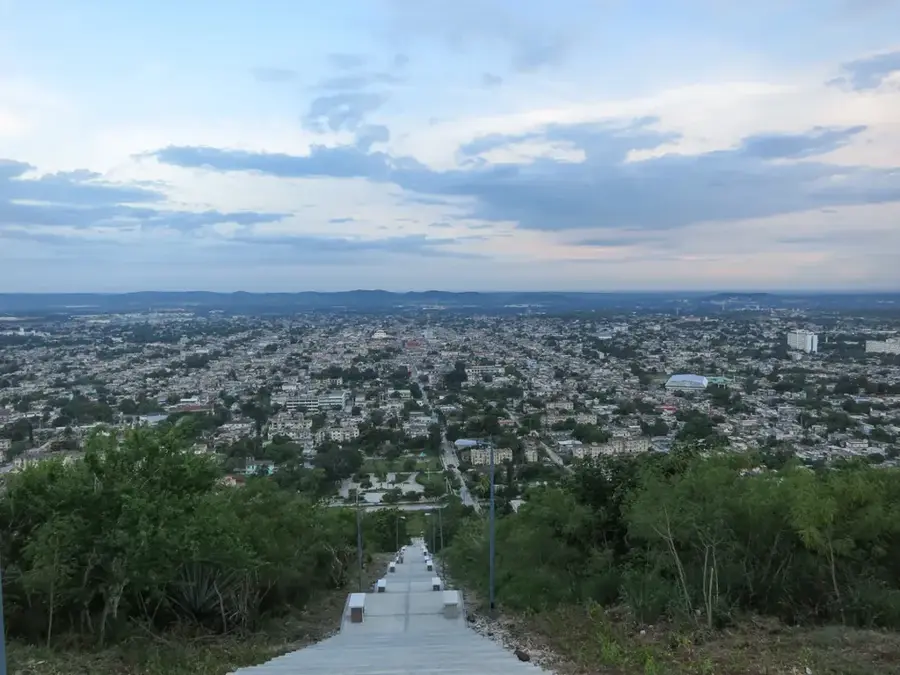
Take a short hike for panoramic views of the town and valley.
Water temperature…
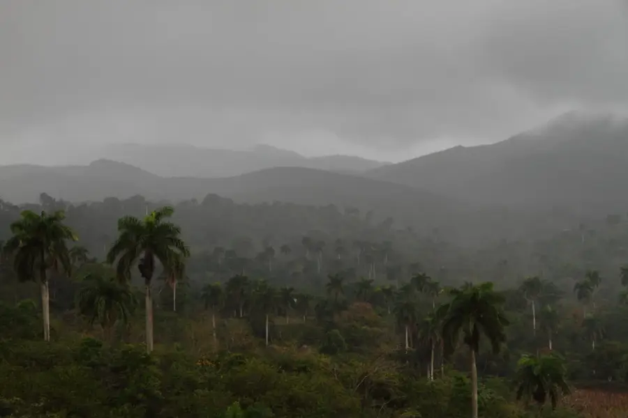
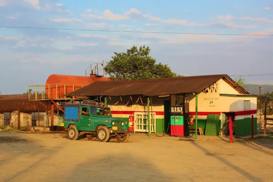
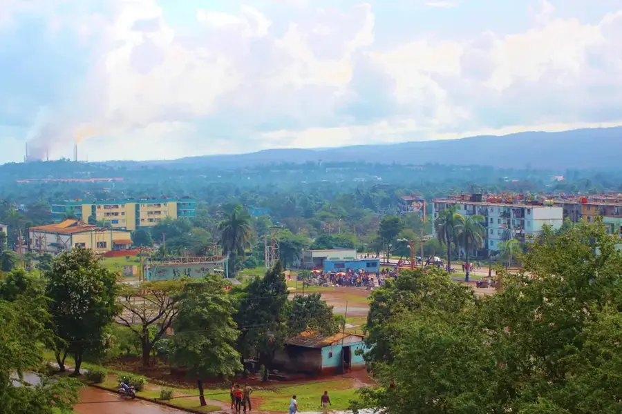
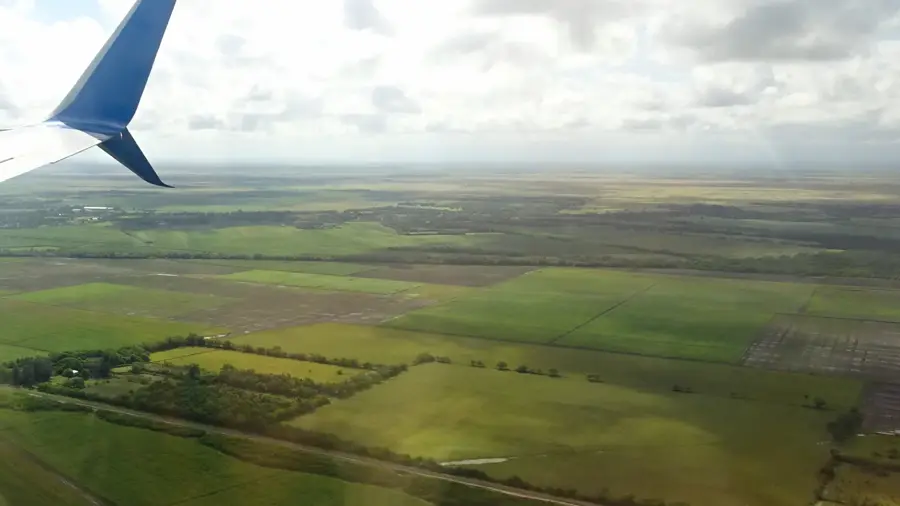
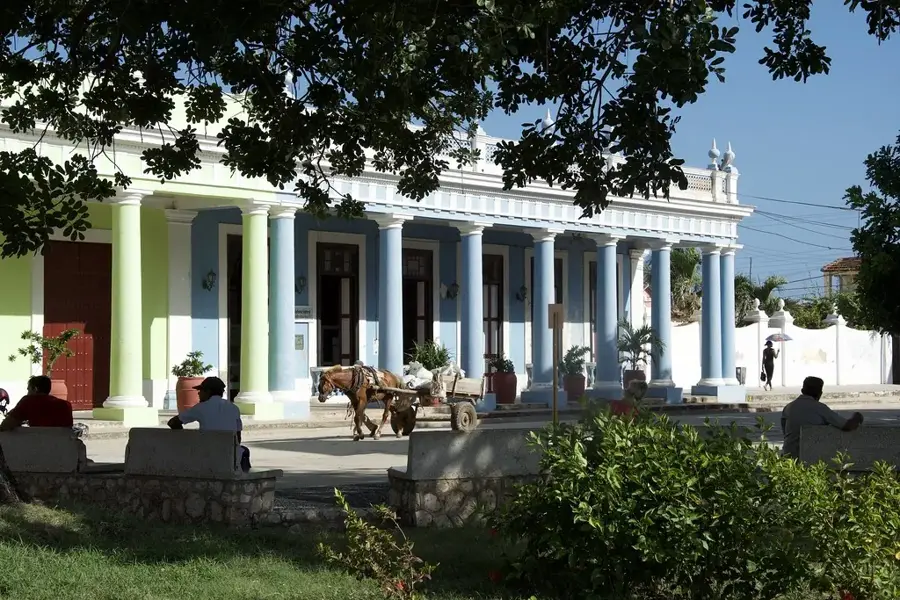
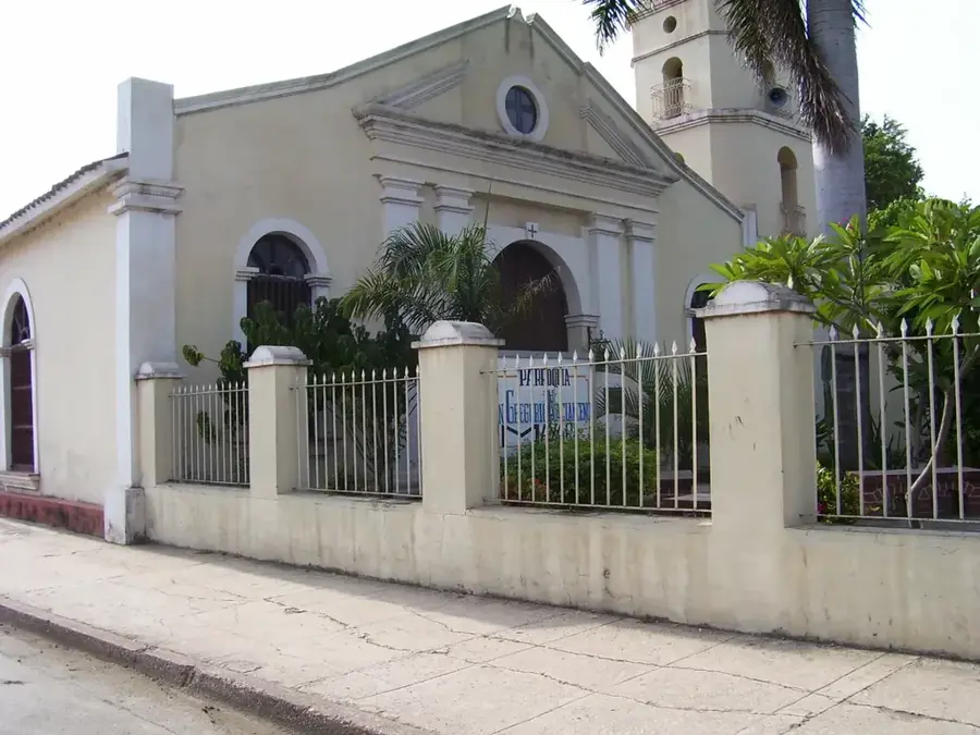
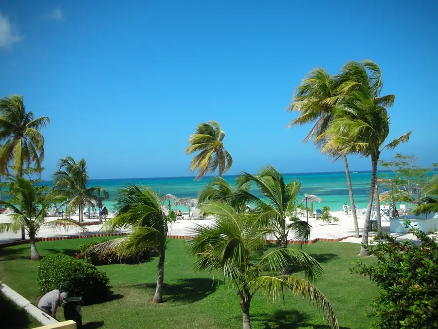
Sagua de Tánamo is a historic city in the northeastern part of the Holguín province in Cuba, founded in 1791. It is situated in a fertile valley carved by the Sagua River and surrounded by the foothills of the Sierra de Nipe-Cristo-Baracoa mountain range. This unique geography has established the region as one of the country's premier hubs for coffee and cocoa production. The city's history is defined by its role as an agricultural trade center and its resilience during Cuba's various wars for independence. During the Cuban Revolution in 1958, Sagua de Tánamo was the site of intense combat that resulted in the destruction of much of the town center, leading to significant reconstruction in the following years. Local culture is deeply embedded in rural traditions, evident in its lively music scene, particularly the "son" genre, and traditional folk festivals. The surrounding natural environment features sweeping landscapes of rivers and forested mountains, holding great potential for ecotourism.
- Location: Cuba
- Nearby: El Salvador (11 km)
- Population: ~18.282 (2023)
Best time to visit & climate
The most pleasant time to visit is Jan–Mar.
| Jan | Feb | Mar | Apr | May | Jun | Jul | Aug | Sep | Oct | Nov | Dec | |
|---|---|---|---|---|---|---|---|---|---|---|---|---|
| Avg °C | 23 | 23 | 24 | 25 | 26 | 27 | 27 | 27 | 27 | 26 | 24 | 24 |
| Rain mm | 23 | 18 | 21 | 32 | 63 | 57 | 33 | 42 | 60 | 117 | 66 | 32 |
Geography
Facts
- Sagua de Tánamo was officially founded on December 14, 1791.
- The municipality covers an area of 704 square kilometers.
- The city is located about 100 kilometers east of Holguín city.
- The region is one of the largest cocoa producers in Cuba.
- The Sagua de Tánamo River is one of the most voluminous rivers in the region.
- During the 1958 fighting, over 80% of the buildings in the town center were destroyed.
Explore nearby
Notable places around
Route planner — Car & Motorhome
Where do you start? We build the route here, with stops and country notes along the way.
© OpenStreetMap contributors · OpenRouteService
Sights in the town Sagua de Tánamo (1)
Frequently asked questions
Where exactly is Sagua de Tánamo located?
What is this region known for?
Is it difficult to get there?
What activities can be done in nature?
Are there local markets?
Sagua de Tánamo: where is it located?
Sagua de Tánamo: when is the best time to visit?
Sagua de Tánamo: why is it worth visiting?

Nearby cities


More places