Plizio Visual Lab
Mayarí
ℹ️Practical info — Mayarí
▾
🌤 Weather — 5 days
📍 Nearby
Sights nearby
💡 Tips
- Hire a sturdy 4x4 or a local driver to comfortably reach the Sierra Cristal National Park.
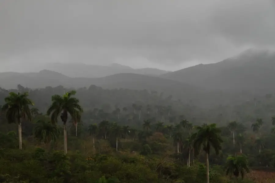
- The climate in the nearby Pinares de Mayarí is cooler, so bring a light jacket.
- Don't miss the Salto del Guayabo, the highest waterfall in Cuba.
- Carry insect repellent and good walking shoes for forest trails.
🍽 Food
Try the slow-roasted pork, a specialty in the rural paladares.
Enjoy locally grown yuca and malanga served with garlic sauce.
Taste the rich, organic honey produced in the nearby mountains.
🛍 Shopping · 🧘 Quiet spots
Look for locally carved wooden souvenirs near tourist spots.
Buy fresh tropical fruits directly from the farmers.
Enjoy the silence and cooler air in these beautiful pine forests.
Take a peaceful stroll along the river passing near the town.
Water temperature…
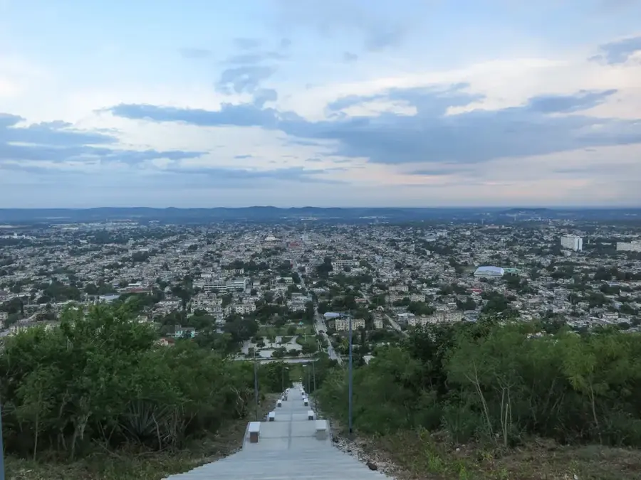
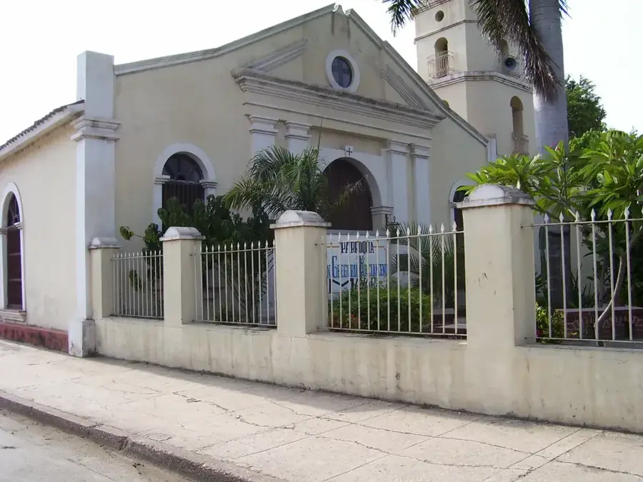
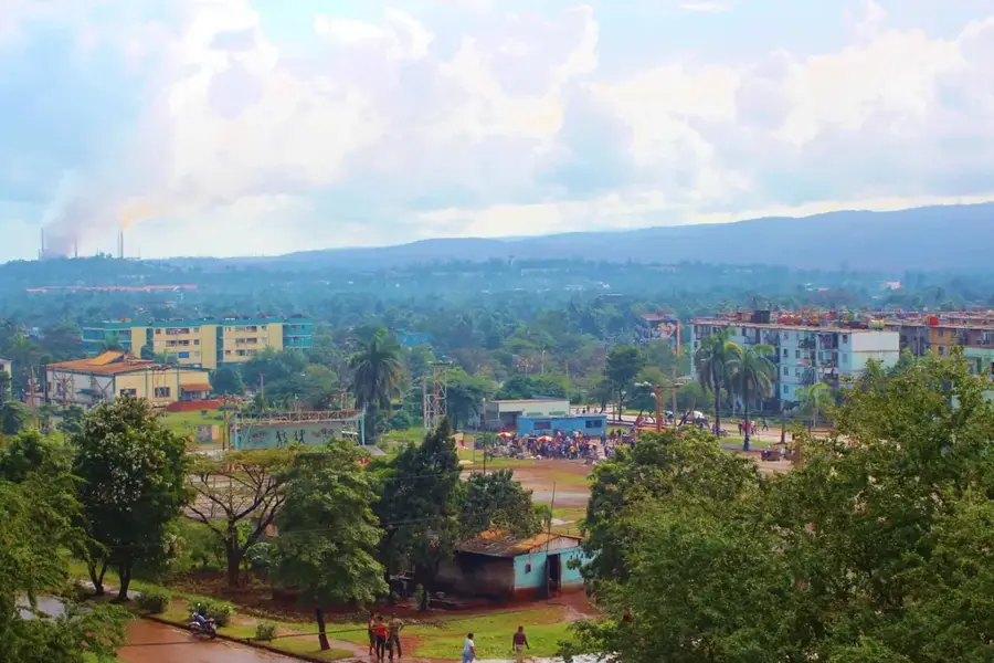
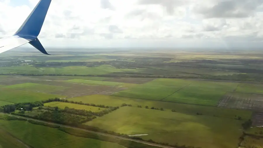
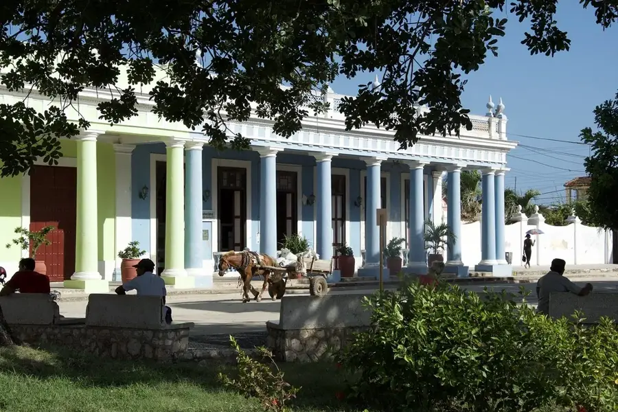
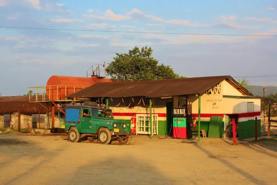
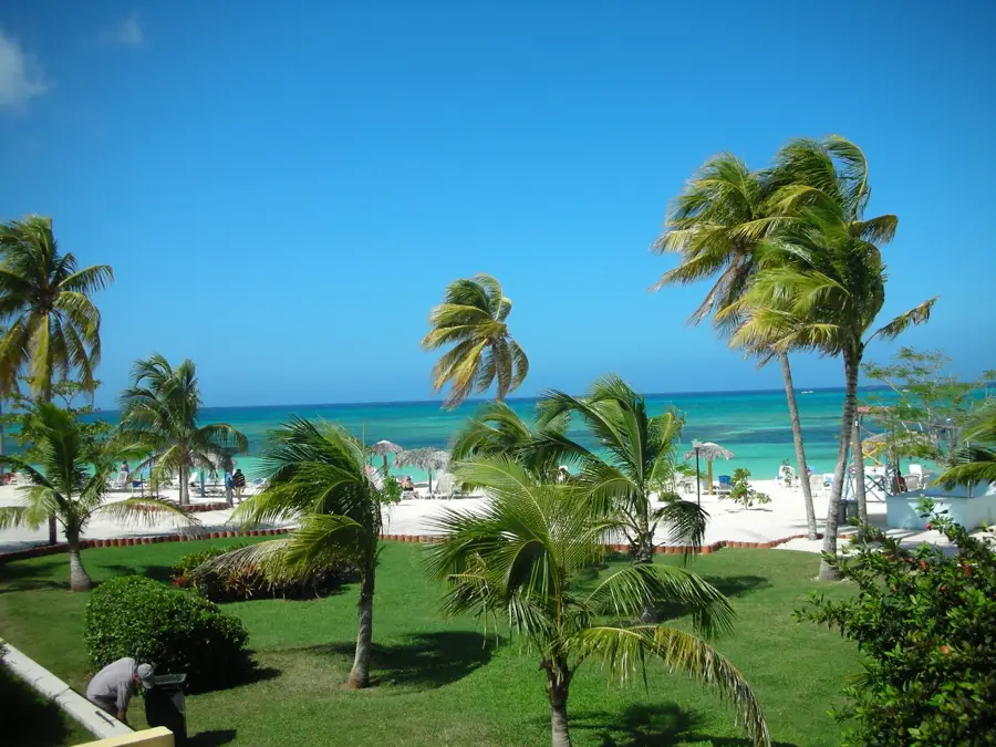
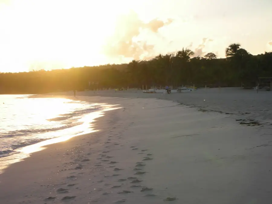
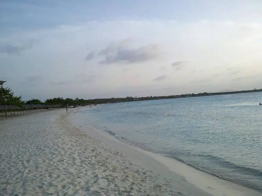
Mayarí is a significant agricultural and industrial center in Holguín Province, situated along the Nipe Bay. The city gained international fame through the iconic song 'Voy para Mayarí' by Compay Segundo, which celebrates the region's cultural identity. Historically, the town was closely tied to the sugar and mining industries, particularly due to the mineral deposits in the nearby Sierra de Nipe mountain range. The surroundings of Mayarí are geographically diverse, featuring fertile valleys, pine forests, and the spectacular Guayabo waterfall. A major highlight of the region is Cayo Saetía, a nature reserve located at the mouth of the bay, famous for its mix of exotic wildlife and pristine beaches. The city itself serves as a vital supply hub for the surrounding rural communities and mining districts. The combination of traditional agriculture, mining heritage, and ecological wealth makes Mayarí a fascinating part of eastern Cuba.
- Location: Cuba
- Nearby: Banes (10 km)
Best time to visit & climate
The most pleasant time to visit is Jan, Feb, Dec.
| Jan | Feb | Mar | Apr | May | Jun | Jul | Aug | Sep | Oct | Nov | Dec | |
|---|---|---|---|---|---|---|---|---|---|---|---|---|
| Avg °C | 24 | 24 | 25 | 26 | 27 | 28 | 28 | 28 | 28 | 27 | 25 | 24 |
| Rain mm | 18 | 15 | 17 | 32 | 64 | 57 | 37 | 45 | 57 | 102 | 51 | 26 |
Geography
Facts
- The Guayabo waterfall is one of Cuba's highest, at approximately 140 meters.
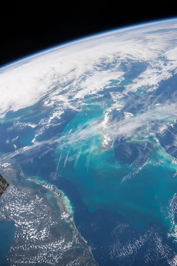
- Nipe Bay is the largest bay in Cuba by surface area.
- Cayo Saetía reserve covers an area of about 42 square kilometers.
- The Sierra de Nipe mountains hold significant nickel and iron deposits.
- The song 'Voy para Mayarí' became globally famous in the 1940s.
- Local agriculture is focused on tobacco, coffee, and citrus production.
Explore nearby
Notable places around
Route planner — Car & Motorhome
Where do you start? We build the route here, with stops and country notes along the way.
© OpenStreetMap contributors · OpenRouteService
Frequently asked questions
What is Salto del Guayabo?
Are there pine forests?
What is grown here?
Can you go hiking?
Where is it located?
Mayarí: where is it located?
Mayarí: when is the best time to visit?
Mayarí: why is it worth visiting?

Nearby cities


More places