Plizio Visual Lab
Cariboo Mountains
Weather…
Water temperature…
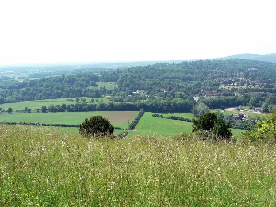
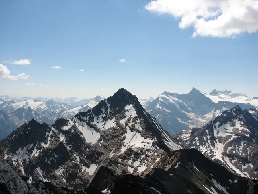
The Cariboo Mountains are the northernmost subrange of the Columbia Mountains, located in the interior of British Columbia. They extend east of the Fraser River and west of the Rocky Mountain Trench, covering an area of approximately 7,700 square kilometers. The highest peak in the range is Mount Sir Wilfrid Laurier, reaching an elevation of 3,516 meters as part of the Premier Range, where peaks are named after Canadian prime ministers. Geologically, the mountains are composed primarily of Proterozoic and Paleozoic metamorphic rocks, shaped by significant tectonic uplift and historical glaciation. The region's climate is characterized by high precipitation, fostering rare interior temperate rainforests and extensive perennial ice fields. Much of the range is protected within provincial parks such as Wells Gray and Bowron Lake, known for their pristine wilderness and dramatic waterfalls. The area serves as a critical refuge for the endangered mountain caribou, as well as grizzly bears and cougars. Historically, the 1860s Cariboo Gold Rush brought global attention to the region's lower valleys, though the high peaks remained largely unexplored for decades.
Best time to visit & climate
The most pleasant time to visit is Jun–Aug.
| Jan | Feb | Mar | Apr | May | Jun | Jul | Aug | Sep | Oct | Nov | Dec | |
|---|---|---|---|---|---|---|---|---|---|---|---|---|
| Avg °C | -12 | -12 | -9 | -4 | 2 | 8 | 10 | 9 | 5 | -2 | -9 | -13 |
| Rain mm | 87 | 64 | 86 | 75 | 83 | 120 | 113 | 83 | 89 | 102 | 98 | 73 |
📋 Practical info
Geography
Facts
- Mount Sir Wilfrid Laurier is the highest peak at 3,516 meters.
- The Premier Range features peaks named after eleven Canadian prime ministers.
- The range contains rare interior temperate rainforests with ancient cedars.
- Wells Gray Provincial Park encompasses over 5,400 square kilometers of the range.
- The Cariboo Road was constructed in the 1860s to facilitate the gold rush.
- The mountains experience massive winter snowfalls, often totaling 10 meters.
Explore nearby
Notable places around
Route planner — Car & Motorhome
Where do you start? We build the route here, with stops and country notes along the way.
© OpenStreetMap contributors · OpenRouteService
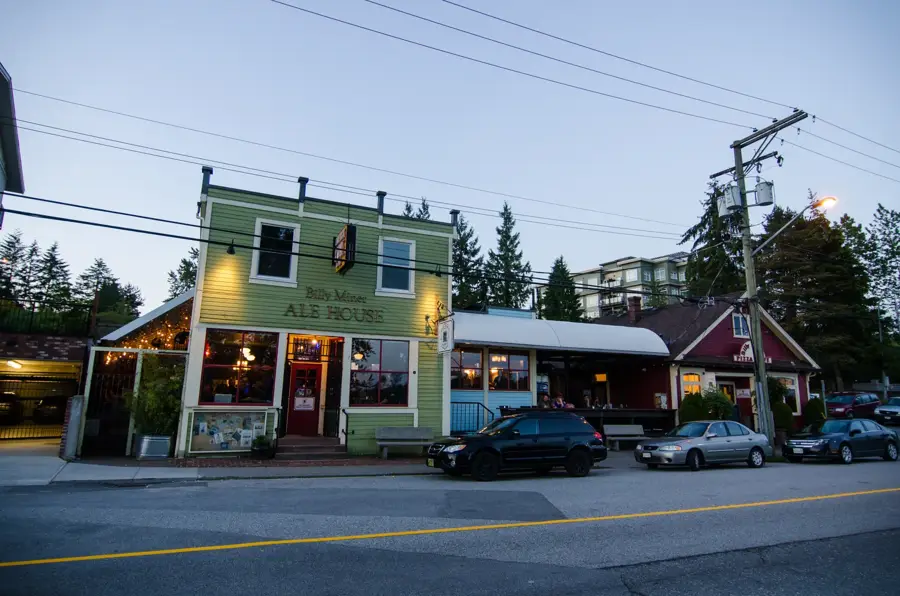
Sights in the town Cariboo Mountains (1)
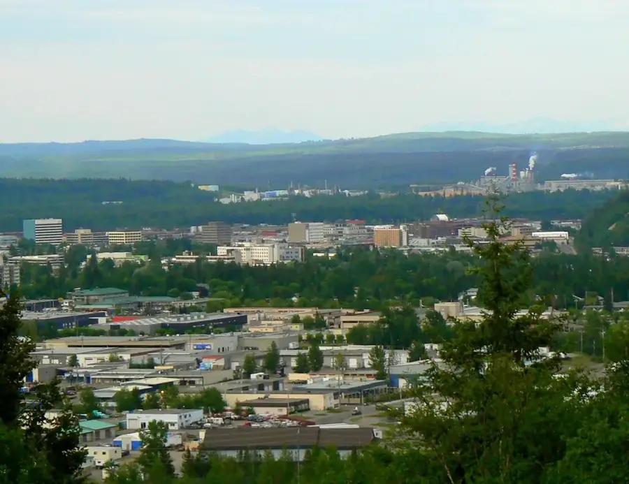
Sights nearby
Frequently asked questions
Where are the Cariboo Mountains located?
Which famous park is located here?
Is there still untouched nature there?
What is the highest peak?
What animals can be seen?
Cariboo Mountains: where is it located?
Cariboo Mountains: when is the best time to visit?
Cariboo Mountains: why is it worth visiting?

Nearby cities