Plizio Visual Lab
Chatham-Kent
ℹ️Practical info — Chatham-Kent
▾
🌤 Weather — 5 days
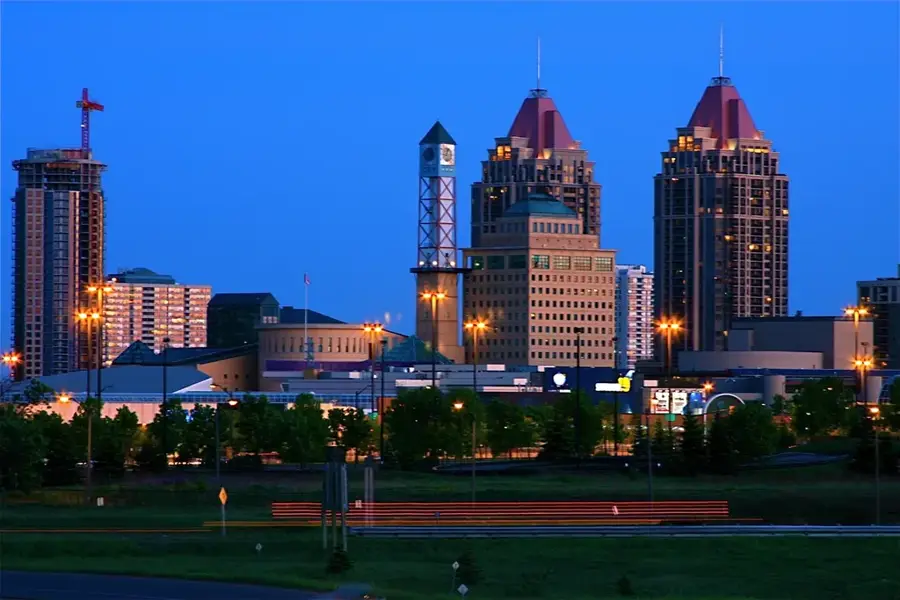
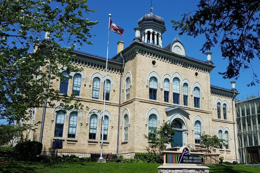
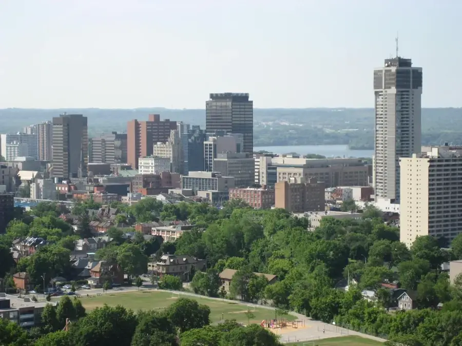
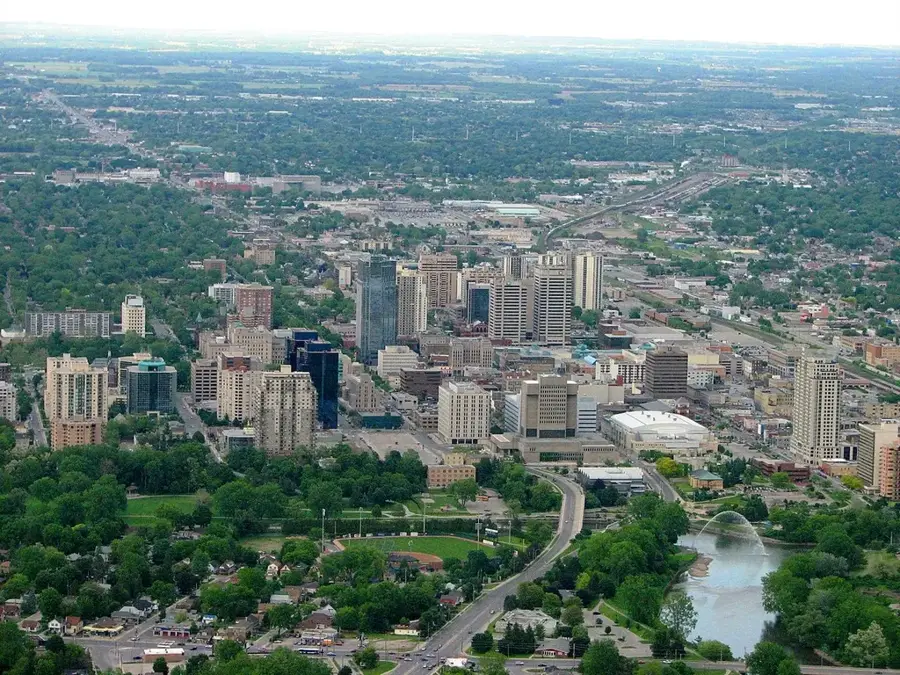
📍 Nearby
Sights nearby
💡 Tips
- Rent a car to explore the municipality, as distances are large and public transit is limited.
- Visit the Buxton National Historic Site early to beat the crowds.
- Take a scenic drive along the Thames River for beautiful rural landscapes.
- Be aware that many rural shops close early on Sundays.
- Prepare for mosquitoes in the summer near the lakes.
🍽 Food
Try the local fish restaurants in the port village of Erieau for freshly caught fish.
A Canadian classic; check out local rural bakeries for the best traditional batches.
Buy fresh sweet corn in late summer from the numerous farm stands along the country roads.
🛍 Shopping · 🧘 Quiet spots
Find fresh local produce at the weekend markets in central Chatham.
Explore the small towns and villages of the municipality for unique vintage finds.
Convenient for peaceful walks under old-growth trees and bird watching.
A lovely park in Chatham, first-rate for a quiet afternoon or a picnic.
Water temperature…
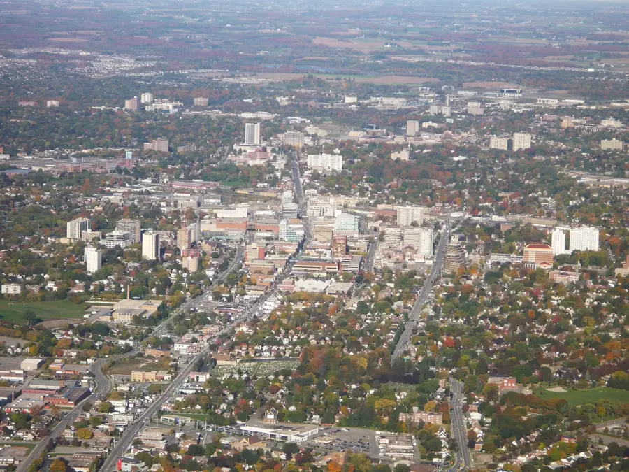
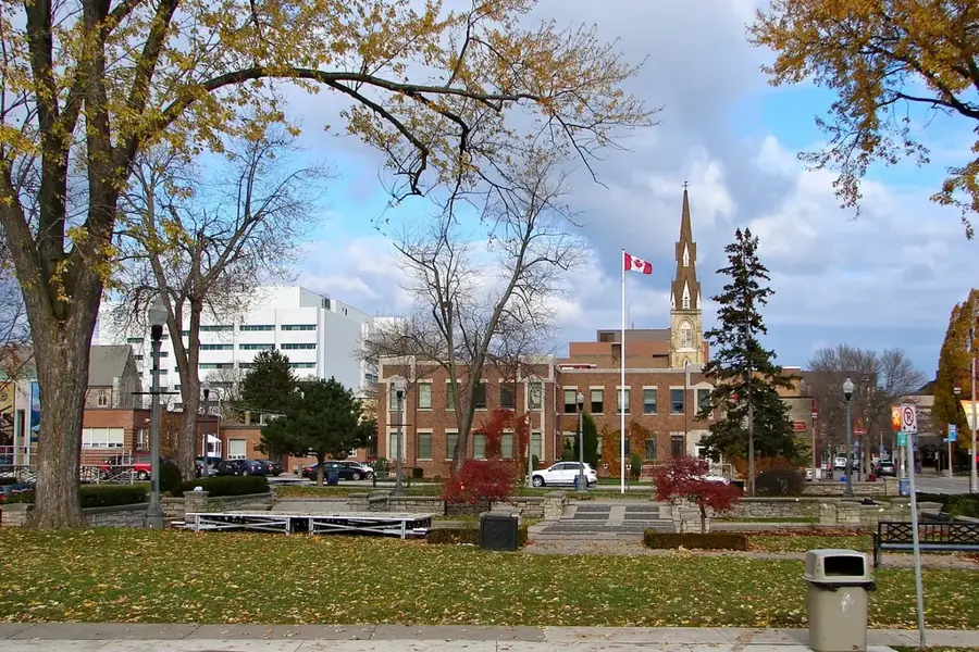
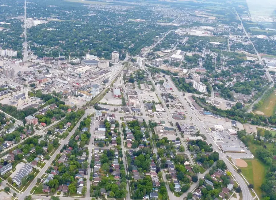
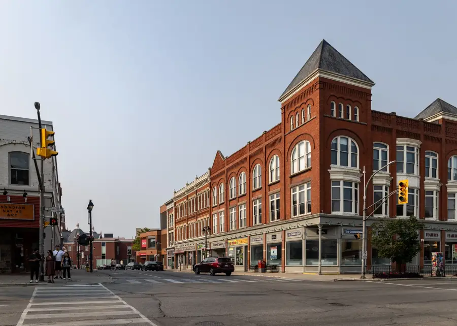
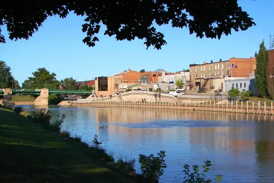
Chatham-Kent is a large, mostly rural municipality in the far southwest of Ontario, lying between Lake Erie and Lake St. Clair. With around 105,000 residents, it was formed in 1998 through the amalgamation of 23 former municipalities in Kent County. The region is among Canada's southernmost and climatically mildest, with fertile black soils that support large-scale corn, soybean, and tomato production. Historically, Chatham was a critical terminus of the Underground Railroad, where escaped African-American slaves from the United States found refuge in Canada. Today the region plays a central role in food processing and greenhouse vegetable production.
- Location: Canada
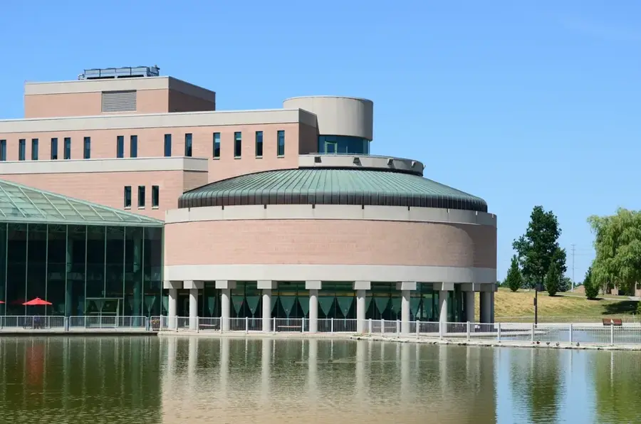
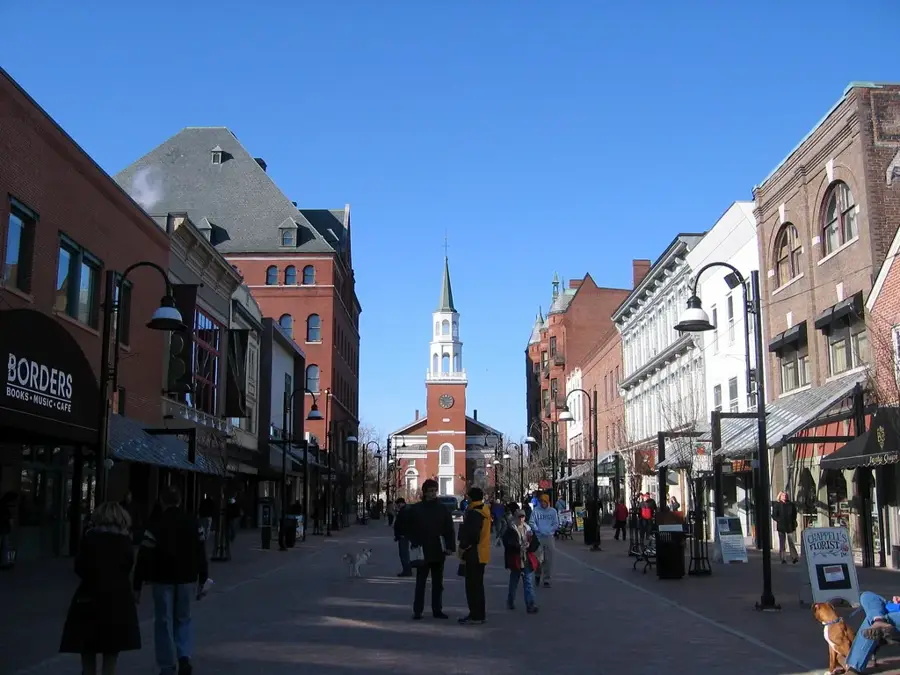
- Top sights: Capitol Theatre · Chatham Railway Museum · O'Neil Nature Preserve
- Nearby: Sarnia (26 km)
- Population: ~43.550 (2019)
Best time to visit & climate
The most pleasant time to visit is Jun–Aug.
| Jan | Feb | Mar | Apr | May | Jun | Jul | Aug | Sep | Oct | Nov | Dec | |
|---|---|---|---|---|---|---|---|---|---|---|---|---|
| Avg °C | -4 | -3 | 1 | 7 | 14 | 19 | 23 | 22 | 19 | 12 | 6 | 0 |
| Rain mm | 41 | 39 | 46 | 55 | 70 | 71 | 72 | 59 | 68 | 56 | 50 | 48 |
Geography
Facts
- Expansive municipality in southwestern Ontario.
- Rich, productive agricultural land between two major lakes.
- Historically important for early Black Canadian settlements.
- Economy primarily driven by agriculture and automotive parts.
- Centrally located in the Ontario agricultural corridor.
- Includes multiple small communities within one municipality.
Explore nearby
Notable places around
Route planner — Car & Motorhome
Where do you start? We build the route here, with stops and country notes along the way.
© OpenStreetMap contributors · OpenRouteService
Sights in the town Chatham-Kent (8)
Frequently asked questions
What is Chatham-Kent historically known for?
What is the Buxton National Historic Site?
Are there nature parks in the region?
What can you do in the city of Chatham?
When is the best time for a beach visit?
Chatham-Kent: where is it located?
Chatham-Kent: what is there to see?
Chatham-Kent: when is the best time to visit?
Chatham-Kent: why is it worth visiting?

Nearby cities