Plizio Visual Lab
Jebel Mghila
Weather…
Water temperature…
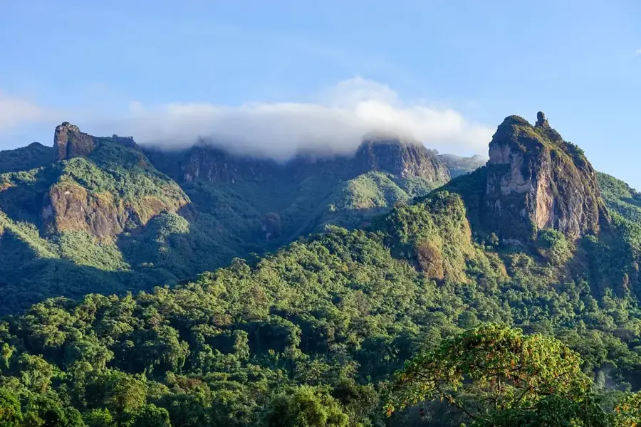
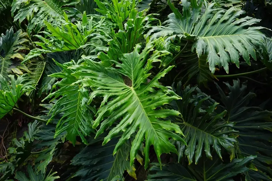
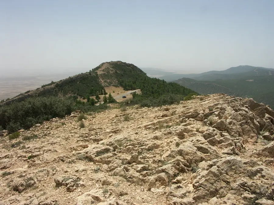
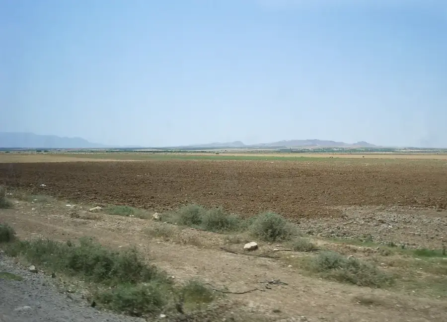
Jebel Mghila is a mountain massif in central Tunisia, spanning the governorates of Sidi Bouzid and Kasserine. Reaching a maximum elevation of 1378 meters above sea level, it forms part of the Tunisian Dorsal, the eastern extension of the Atlas Mountains. In 2010, the area was designated as a national park to preserve its regional biodiversity, which is primarily characterized by dense forests of Aleppo pine and holm oak. Geologically, the massif consists mainly of limestone and marl, creating a rugged topography with numerous gorges and steep cliffs. Historically, the region has often served as a strategic retreat, while today it plays a vital role in the water balance of the surrounding agricultural plains. The park is home to rare wildlife species, such as the Barbary stag, and various birds of prey that nest within its inaccessible rocky outcrops.
- Location: Tunisia
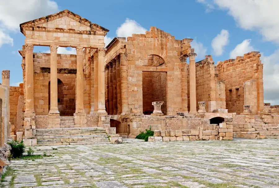
- Nearby: Sbeitla (10 km)
Best time to visit & climate
The most pleasant time to visit is May, Jun, Sep.
| Jan | Feb | Mar | Apr | May | Jun | Jul | Aug | Sep | Oct | Nov | Dec | |
|---|---|---|---|---|---|---|---|---|---|---|---|---|
| Avg °C | 6 | 7 | 10 | 14 | 18 | 23 | 27 | 26 | 21 | 17 | 11 | 7 |
| Rain mm | 48 | 33 | 57 | 40 | 34 | 20 | 11 | 25 | 48 | 46 | 37 | 48 |
📋 Practical info
Geography
Facts
- The maximum elevation of Jebel Mghila is 1378 meters.
- The national park was officially established in 2010.
- It is situated between Sidi Bouzid and Kasserine governorates.
- The vegetation primarily consists of Aleppo pine forests.
- Limestone and marl are the dominant geological features.
- It serves as a critical habitat for the rare Barbary stag.
Explore nearby
Notable places around
Route planner — Car & Motorhome
Where do you start? We build the route here, with stops and country notes along the way.
© OpenStreetMap contributors · OpenRouteService
Sights nearby
Frequently asked questions
What is Jebel Mghila?
Is hiking there difficult?
Are there water springs there?
Is the area safe?
What is the best season?
Jebel Mghila: where is it located?
Jebel Mghila: when is the best time to visit?
Jebel Mghila: why is it worth visiting?

Nearby cities

Nature
More places